ESA TPM Map Catalogue - Product List
back to previous node |
list of download URLs
Collection ALOSIPY
ALOS PALSAR IPY Antarctica. More details here.
List of available products (wrsLongitudeGrid: 670, wrsLatitudeGrid: 5050).
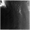
AL1_OPER_PSR_WB1_15_20081110T233411_20081110T233501_014906_0670_5050_0001
Download Product | Product Info | Browse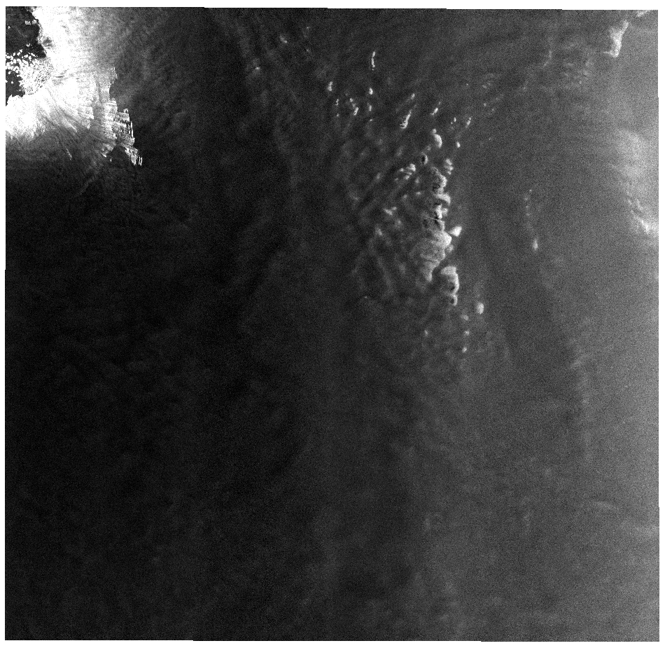
Start Date | 2008-11-10T23:34:11.081Z |
Stop Date | 2008-11-10T23:35:01.781Z |
Orbit | 14906 |
Longitude | 670 |
Latitude | 5050 |
Footprint | -66.601 129.294 -69.153 123.934 -71.190 131.812 -68.412 136.649 -66.601 129.294 |
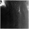
AL1_OPER_PSR_WB1_15_20080925T233320_20080925T233410_014235_0670_5050_0001
Download Product | Product Info | Browse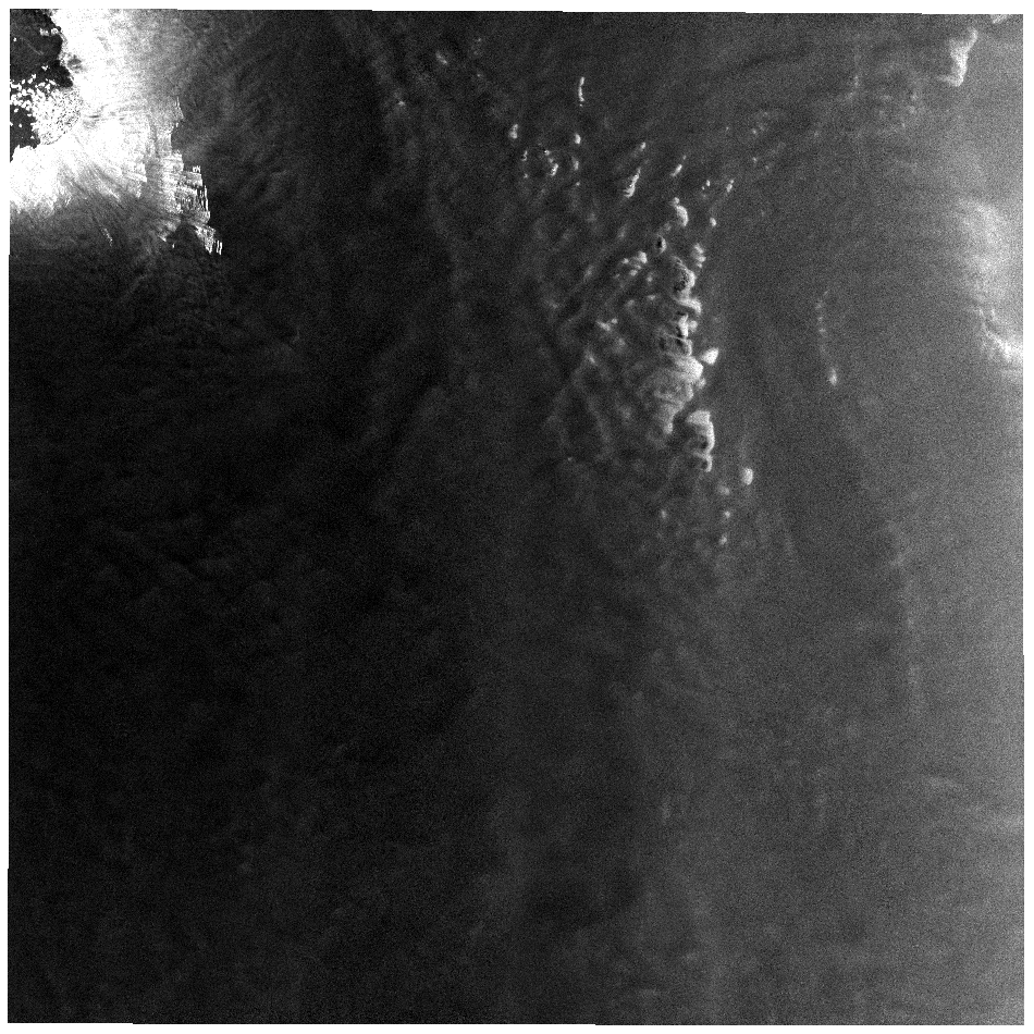
Start Date | 2008-09-25T23:33:20.061Z |
Stop Date | 2008-09-25T23:34:10.761Z |
Orbit | 14235 |
Longitude | 670 |
Latitude | 5050 |
Footprint | -66.605 129.286 -69.231 123.741 -71.273 131.621 -68.414 136.630 -66.605 129.286 |
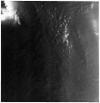
AL1_OPER_PSR_WB1_15_20090513T233623_20090513T233714_017590_0670_5050_0001
Download Product | Product Info | Browse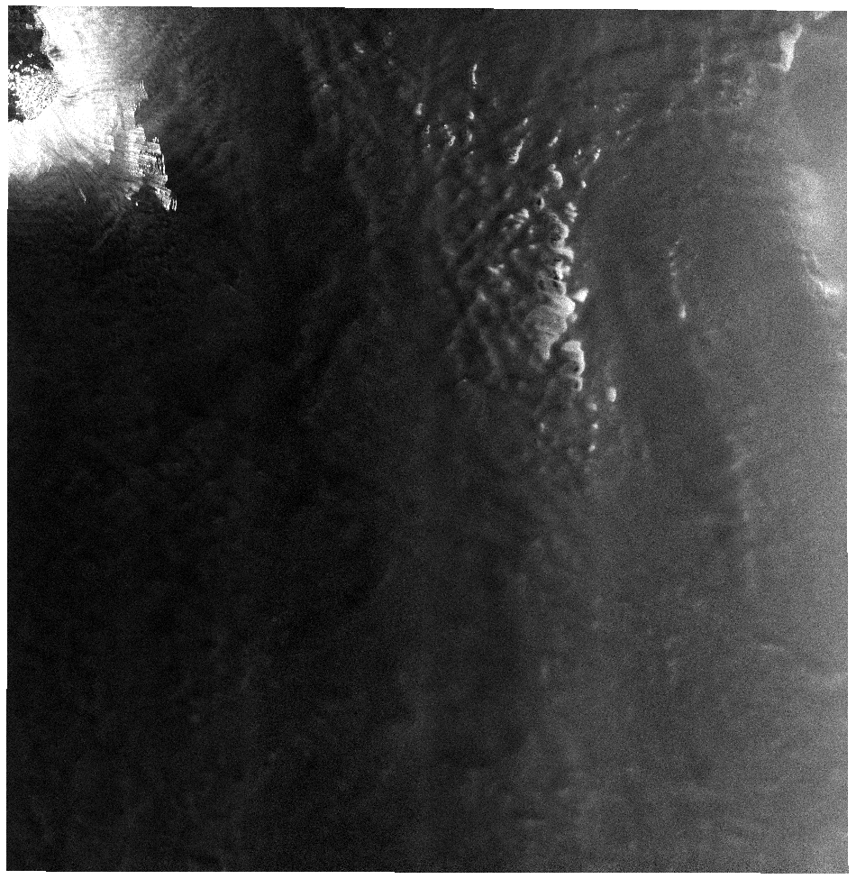
Start Date | 2009-05-13T23:36:23.692Z |
Stop Date | 2009-05-13T23:37:14.392Z |
Orbit | 17590 |
Longitude | 670 |
Latitude | 5050 |
Footprint | -66.616 129.348 -69.320 123.626 -71.366 131.532 -68.423 136.700 -66.616 129.348 |
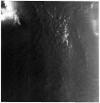
AL1_OPER_PSR_WB1_15_20090928T233709_20090928T233800_019603_0670_5050_0001
Download Product | Product Info | Browse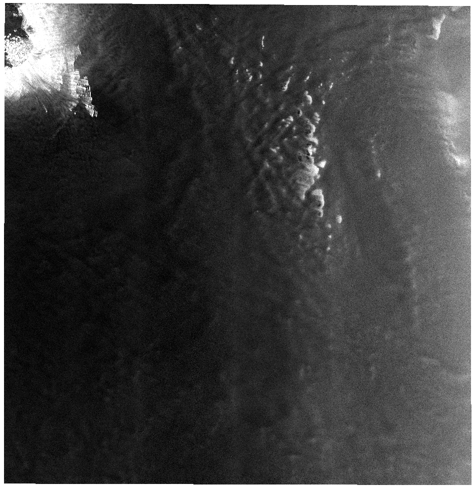
Start Date | 2009-09-28T23:37:09.649Z |
Stop Date | 2009-09-28T23:38:00.349Z |
Orbit | 19603 |
Longitude | 670 |
Latitude | 5050 |
Footprint | -66.619 129.369 -69.324 123.646 -71.370 131.543 -68.424 136.712 -66.619 129.369 |