Static Map Catalogue - Full Metadata Record
Collection ALOSIPY
ALOS PALSAR IPY Antarctica. More details here.
AL1_OPER_PSR_WB1_15_20081110T233411_20081110T233501_014906_0670_5050_0001
Download Product | Browse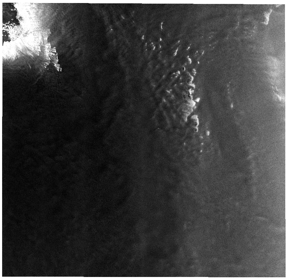
Start Date | 2008-11-10T23:34:11.081Z |
Stop Date | 2008-11-10T23:35:01.781Z |
Availability Time | 2008-11-10T23:35:01.781Z |
Platform Short Name | ALOS |
Instrument Short Name | PALSAR |
Sensor Type | RADAR |
Operational Mode | WB1 |
Orbit | 14906 |
Longitude | 670 |
Latitude | 5050 |
Footprint | -66.601 129.294 -69.153 123.934 -71.190 131.812 -68.412 136.649 -66.601 129.294 |
Scene Centre | -68.901 130.410 |
Size | 42629750 |
Acquisition Type | NOMINAL |
Product Type | PSR_WB1_15 |