ESA TPM Map Catalogue - Product List
back to previous node |
list of download URLs


Collection ALOSIPY
ALOS PALSAR IPY Antarctica. More details here.
List of available products (wrsLongitudeGrid: 292, wrsLatitudeGrid: 5050).
AL1_OPER_PSR_WB1_15_20080824T100129_20080824T100220_013760_0292_5050_0001
Download Product | Product Info | Browse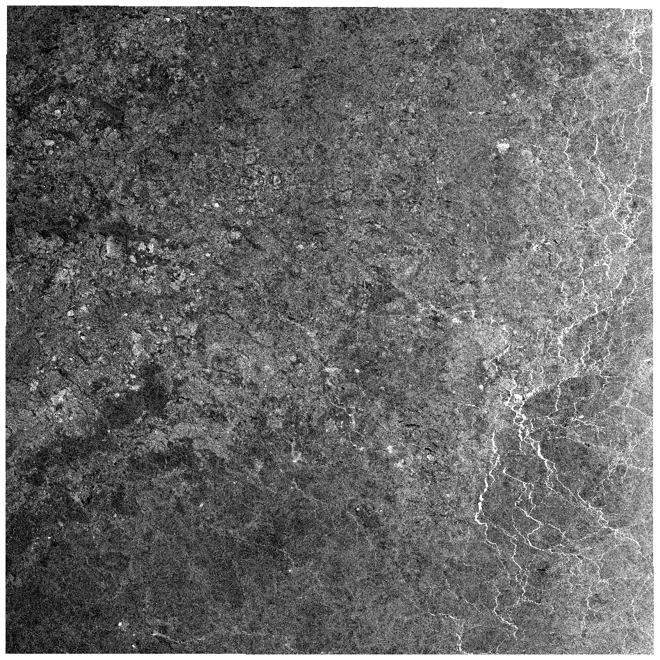
Start Date | 2008-08-24T10:01:29.730Z |
Stop Date | 2008-08-24T10:02:20.430Z |
Orbit | 13760 |
Longitude | 292 |
Latitude | 5050 |
Footprint | -66.604 -27.926 -69.232 -33.475 -71.271 -25.604 -68.411 -20.590 -66.604 -27.926 |
AL1_OPER_PSR_WB1_15_20081124T100312_20081124T100403_015102_0292_5050_0001
Download Product | Product Info | Browse
Start Date | 2008-11-24T10:03:12.902Z |
Stop Date | 2008-11-24T10:04:03.602Z |
Orbit | 15102 |
Longitude | 292 |
Latitude | 5050 |
Footprint | -66.603 -27.893 -69.194 -33.345 -71.228 -25.482 -68.409 -20.557 -66.603 -27.893 |
AL1_OPER_PSR_WB1_15_20090827T100549_20090827T100640_019128_0292_5050_0001
Download Product | Product Info | Browse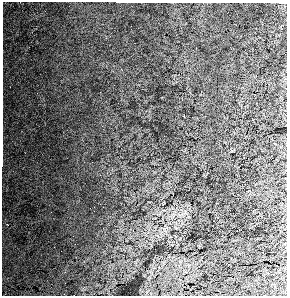
Start Date | 2009-08-27T10:05:49.921Z |
Stop Date | 2009-08-27T10:06:40.621Z |
Orbit | 19128 |
Longitude | 292 |
Latitude | 5050 |
Footprint | -66.624 -27.845 -69.328 -33.571 -71.370 -25.673 -68.426 -20.499 -66.624 -27.845 |
AL1_OPER_PSR_WB1_15_20091127T100600_20091127T100651_020470_0292_5050_0001
Download Product | Product Info | Browse
Start Date | 2009-11-27T10:06:00.739Z |
Stop Date | 2009-11-27T10:06:51.439Z |
Orbit | 20470 |
Longitude | 292 |
Latitude | 5050 |
Footprint | -66.627 -27.829 -69.342 -33.577 -71.384 -25.673 -68.429 -20.481 -66.627 -27.829 |