Static Map Catalogue - Full Metadata Record
Collection ALOSIPY
ALOS PALSAR IPY Antarctica. More details here.
AL1_OPER_PSR_WB1_15_20080824T100129_20080824T100220_013760_0292_5050_0001
Download Product | Browse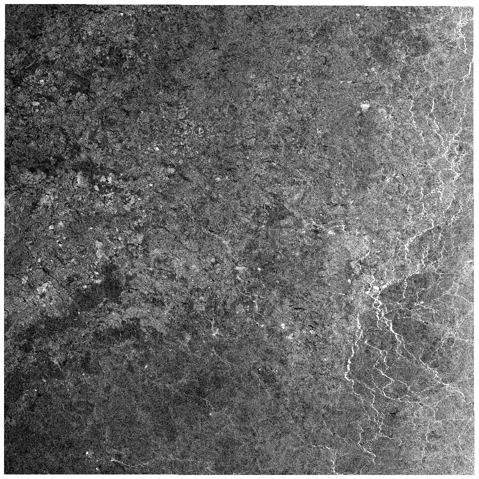
Start Date | 2008-08-24T10:01:29.730Z |
Stop Date | 2008-08-24T10:02:20.430Z |
Availability Time | 2008-08-24T10:02:20.430Z |
Platform Short Name | ALOS |
Instrument Short Name | PALSAR |
Sensor Type | RADAR |
Operational Mode | WB1 |
Orbit | 13760 |
Longitude | 292 |
Latitude | 5050 |
Footprint | -66.604 -27.926 -69.232 -33.475 -71.271 -25.604 -68.411 -20.590 -66.604 -27.926 |
Scene Centre | -68.942 -26.900 |
Size | 43408950 |
Acquisition Type | NOMINAL |
Product Type | PSR_WB1_15 |