Static Map Catalogue - Full Metadata Record
Collection Tropforest
Tropforest Dataset. More details.
AL1_OTPF_AL1_AV2_2F_20091109T154007_20091109T154007_000000_W078_S006
Download Product | Browse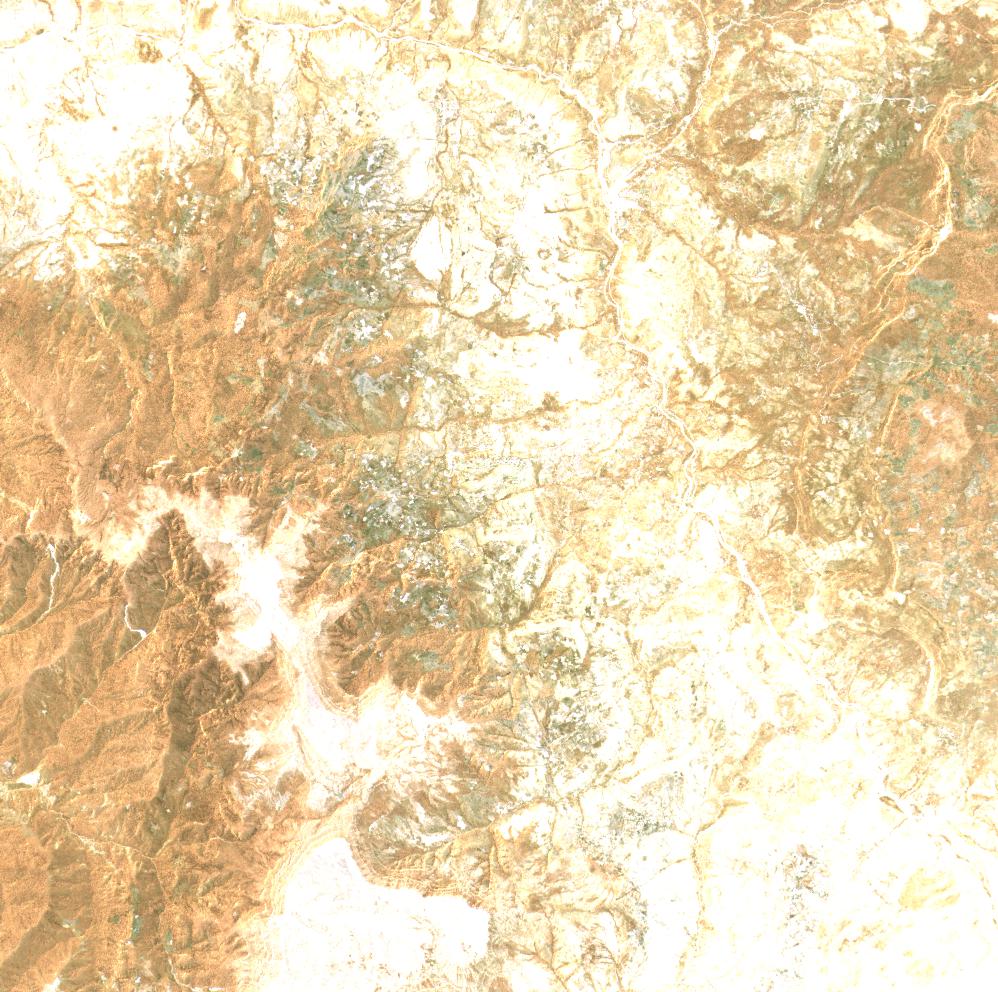
Date at scene centre | 2009-11-09T15:40:07Z |
End Acquisition | 2009-11-09T15:40:07Z |
Availability Time | 2009-11-09T15:40:07Z |
Satellite | ALOS |
Sensor | AVNIR-2 |
Sensor Type | OPTICAL |
Sensor Mode | OBS |
Orbit | 000000 |
Orbit Direction | DESCENDING |
Illumination Azimuth Angle | 122.43 |
Illumination Elevation Angle | 68.45 |
Footprint | -5.9100554 -78.0905323 -6.0899163 -78.0905323 -6.0899163 -77.9095922 -5.9100554 -77.9095922 -5.9100554 -78.0905323 |
Scene Centre | -5.9999858 -78.0000622 |
Size | 11829641 |
Cloud Cover Percentage | 0 |
Acquisition Type | NOMINAL |
Product type | AL1_AV2_2F |
Processing Center | Astrium Services |
Processing Date | 2011-07-07T00:00:00Z |
Observed Country | Peru |
Bounding Box | -5.547 -78.229 -6.398 -78.229 -6.398 -77.751 -5.547 -77.751 |
Longitude | W078 |
Latitude | S006 |