Static Map Catalogue - Full Metadata Record
Collection Tropforest
Tropforest Dataset. More details.
KO2_OTPF_KO2_MSC_2F_20110609T151802_20110609T151802_000000_W076_S012
Download Product | Browse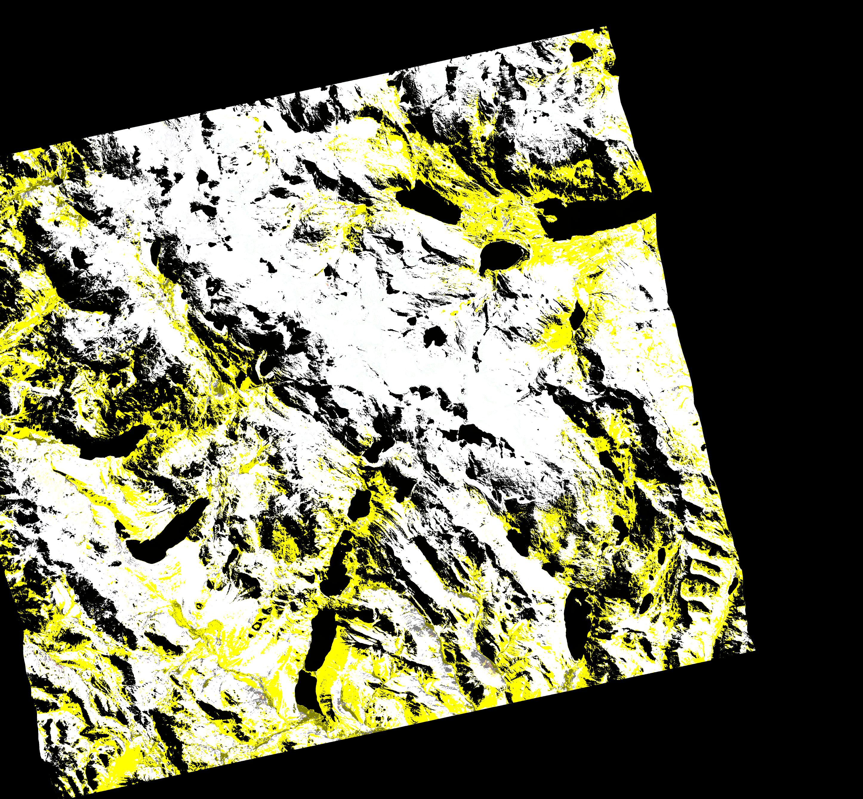
Date at scene centre | 2011-06-09T15:18:02Z |
End Acquisition | 2011-06-09T15:18:02Z |
Availability Time | 2011-06-09T15:18:02Z |
Satellite | KOMPSAT |
Sensor | MSC |
Sensor Type | OPTICAL |
Sensor Mode | MS |
Orbit | 000000 |
Orbit Direction | DESCENDING |
Illumination Azimuth Angle | 37.1040002 |
Illumination Elevation Angle | 42.1313741 |
Footprint | -11.88979366 -76.10858947 -12.08343514 -76.10858947 -12.08343514 -75.89762157 -11.88979366 -75.89762157 -11.88979366 -76.10858947 |
Scene Centre | -11.9866341264 -76.00310552 |
Size | 92139824 |
Cloud Cover Percentage | 0 |
Acquisition Type | NOMINAL |
Product type | KO2_MSC_2F |
Processing Center | Astrium Services |
Processing Date | 2012-12-13T00:00:00Z |
Observed Country | Peru |
Bounding Box | -11.88979366 -76.10858947 -12.08343514 -76.10858947 -12.08343514 -75.89762157 -11.88979366 -75.89762157 |
Longitude | W076 |
Latitude | S012 |