Static Map Catalogue - Full Metadata Record
Collection Tropforest
Tropforest Dataset. More details.
AL1_OTPF_AL1_AV2_2F_20100524T153328_20100524T153328_000000_W076_S001
Download Product | Browse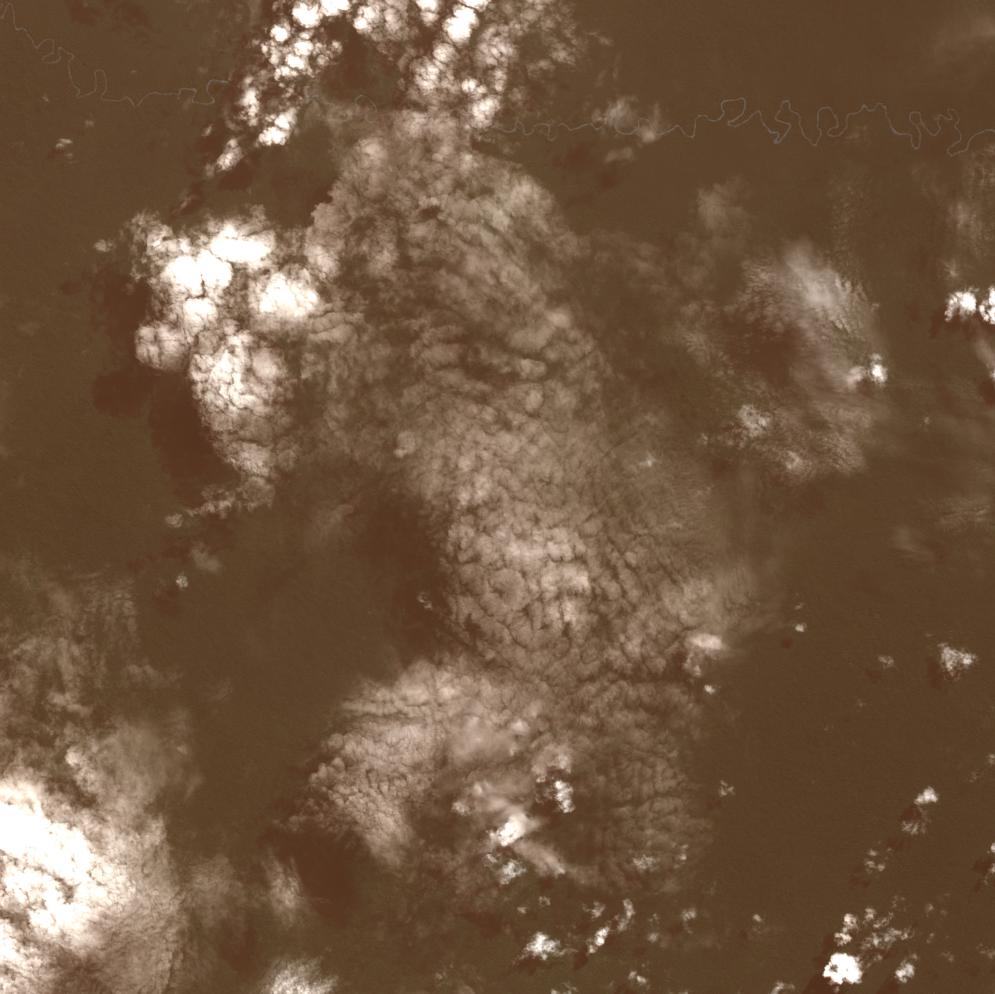
Date at scene centre | 2010-05-24T15:33:28Z |
End Acquisition | 2010-05-24T15:33:28Z |
Availability Time | 2010-05-24T15:33:28Z |
Satellite | ALOS |
Sensor | AVNIR-2 |
Sensor Type | OPTICAL |
Sensor Mode | OBS |
Orbit | 000000 |
Orbit Direction | DESCENDING |
Illumination Azimuth Angle | 43.01 |
Illumination Elevation Angle | 59.55 |
Footprint | -0.9100092 -76.0900320 -1.0898423 -76.0900320 -1.0898423 -75.9100180 -0.9100092 -75.9100180 -0.9100092 -76.0900320 |
Scene Centre | -0.9999258 -76.0000250 |
Size | 11462803 |
Cloud Cover Percentage | 15 |
Acquisition Type | NOMINAL |
Product type | AL1_AV2_2F |
Processing Center | Astrium Services |
Processing Date | 2011-10-11T00:00:00Z |
Observed Country | Ecuador |
Bounding Box | -0.568 -76.098 -1.418 -76.098 -1.418 -75.623 -0.568 -75.623 |
Longitude | W076 |
Latitude | S001 |