Static Map Catalogue - Full Metadata Record
Collection Tropforest
Tropforest Dataset. More details.
DE1_OTPF_DE1_SL6_2F_20100622T154226_20100622T154226_000000_W075_S012
Download Product | Browse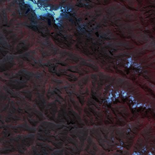
Date at scene centre | 2010-06-22T15:42:26Z |
End Acquisition | 2010-06-22T15:42:26Z |
Availability Time | 2010-06-22T15:42:26Z |
Satellite | DEIMOS |
Sensor | SLIM6 |
Sensor Type | OPTICAL |
Sensor Mode | NA |
Orbit | 000000 |
Orbit Direction | DESCENDING |
Illumination Azimuth Angle | 27.29030385194 |
Illumination Elevation Angle | 48.58800664129 |
Footprint | -11.9096413493 -75.0917395341 -12.0905088498 -75.0918007164 -12.0905087891 -74.9080154986 -11.9096412895 -74.9080768034 -11.9096413493 -75.0917395341 |
Scene Centre | -12.0000900458 -74.9999081381 |
Size | 2528510 |
Cloud Cover Percentage | 2.3 |
Acquisition Type | NOMINAL |
Product type | DE1_SL6_2F |
Processing Center | Astrium Services |
Processing Date | 2011-10-26T00:00:00Z |
Observed Country | Peru |
Bounding Box | -11.9096412895 -75.0918007164 -12.0905088498 -75.0918007164 -12.0905088498 -74.9080154986 -11.9096412895 -74.9080154986 |
Longitude | W075 |
Latitude | S012 |