Static Map Catalogue - Full Metadata Record
Collection Tropforest
Tropforest Dataset. More details.
AL1_OTPF_AL1_AV2_2F_20090304T151543_20090304T151543_000000_W074_S016
Download Product | Browse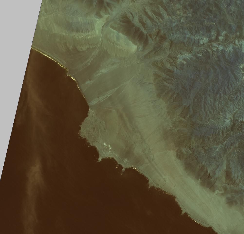
Date at scene centre | 2009-03-04T15:15:43Z |
End Acquisition | 2009-03-04T15:15:43Z |
Availability Time | 2009-03-04T15:15:43Z |
Satellite | ALOS |
Sensor | AVNIR-2 |
Sensor Type | OPTICAL |
Sensor Mode | OBS |
Orbit | 000000 |
Orbit Direction | DESCENDING |
Illumination Azimuth Angle | 73.46 |
Illumination Elevation Angle | 61.17 |
Footprint | -15.9100118 -74.0936484 -16.0898289 -74.0936484 -16.0898289 -73.9063545 -15.9100118 -73.9063545 -15.9100118 -74.0936484 |
Scene Centre | -15.9999204 -74.0000015 |
Size | 7647291 |
Cloud Cover Percentage | 0 |
Acquisition Type | NOMINAL |
Product type | AL1_AV2_2F |
Processing Center | Astrium Services |
Processing Date | 2011-07-05T00:00:00Z |
Observed Country | Peru |
Bounding Box | -15.503 -73.971 -16.355 -73.971 -16.355 -73.477 -15.503 -73.477 |
Longitude | W074 |
Latitude | S016 |