Static Map Catalogue - Full Metadata Record
Collection Tropforest
Tropforest Dataset. More details.
AL1_OTPF_AL1_AV2_2F_20090424T151950_20090424T151950_000000_W073_S006
Download Product | Browse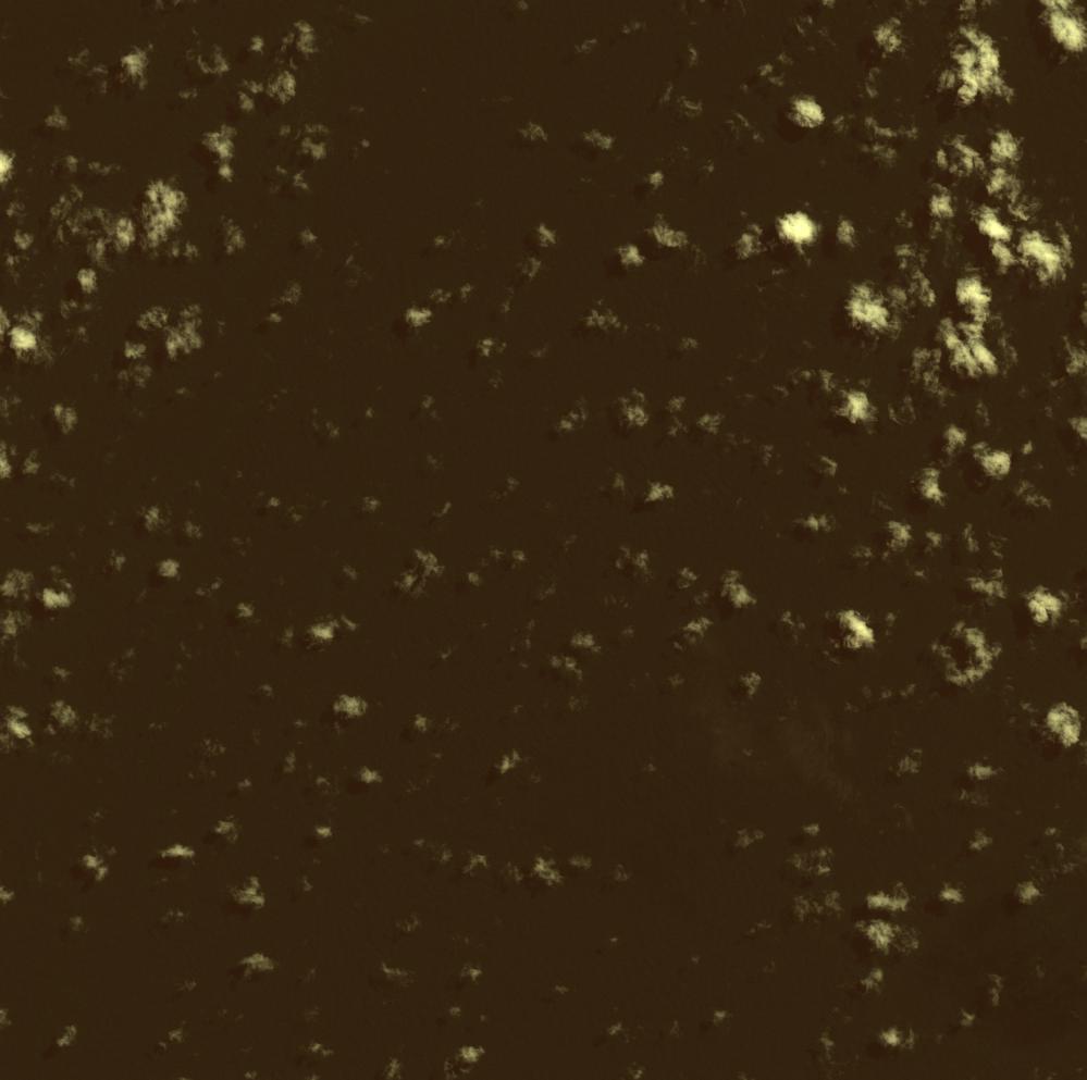
Date at scene centre | 2009-04-24T15:19:50Z |
End Acquisition | 2009-04-24T15:19:50Z |
Availability Time | 2009-04-24T15:19:50Z |
Satellite | ALOS |
Sensor | AVNIR-2 |
Sensor Type | OPTICAL |
Sensor Mode | OBS |
Orbit | 000000 |
Orbit Direction | DESCENDING |
Illumination Azimuth Angle | 49.79 |
Illumination Elevation Angle | 60.48 |
Footprint | -5.9100589 -73.0905110 -6.0899356 -73.0905110 -6.0899356 -72.9096386 -5.9100589 -72.9096386 -5.9100589 -73.0905110 |
Scene Centre | -5.9999972 -73.0000748 |
Size | 8842434 |
Cloud Cover Percentage | 6.8628 |
Acquisition Type | NOMINAL |
Product type | AL1_AV2_2F |
Processing Center | Astrium Services |
Processing Date | 2011-07-05T00:00:00Z |
Observed Country | Brazil |
Bounding Box | -5.55 -73.399 -6.401 -73.399 -6.401 -72.921 -5.55 -72.921 |
Longitude | W073 |
Latitude | S006 |