Static Map Catalogue - Full Metadata Record
Collection Tropforest
Tropforest Dataset. More details.
AL1_OTPF_AL1_AV2_2F_20100514T000000_20100514T000000_000000_W073_S003
Download Product | Browse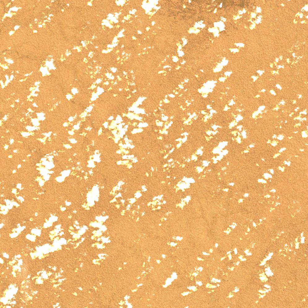
Date at scene centre | 2010-05-14T00:00:00Z |
End Acquisition | 2010-05-14T00:00:00Z |
Availability Time | 2010-05-14T00:00:00Z |
Satellite | ALOS |
Sensor | AVNIR-2 |
Sensor Type | OPTICAL |
Sensor Mode | OBS |
Orbit | 000000 |
Orbit Direction | DESCENDING |
Illumination Azimuth Angle | 43.91 |
Illumination Elevation Angle | 59.46 |
Footprint | -2.9100117 -73.0900797 -3.0899196 -73.0900797 -3.0899196 -72.9099847 -2.9100117 -72.9099847 -2.9100117 -73.0900797 |
Scene Centre | -2.9999656 -73.0000322 |
Size | 10174027 |
Cloud Cover Percentage | 6 |
Acquisition Type | NOMINAL |
Product type | AL1_AV2_2F |
Processing Center | Astrium Services |
Processing Date | 2011-12-06T00:00:00Z |
Observed Country | Peru |
Bounding Box | -2.61 -73.443 -3.362 -73.443 -3.362 -72.683 -2.61 -72.683 |
Longitude | W073 |
Latitude | S003 |