Static Map Catalogue - Full Metadata Record
Collection Tropforest
Tropforest Dataset. More details.
AL1_OTPF_AL1_AV2_2F_20090407T151700_20090407T151700_000000_W072_S004
Download Product | Browse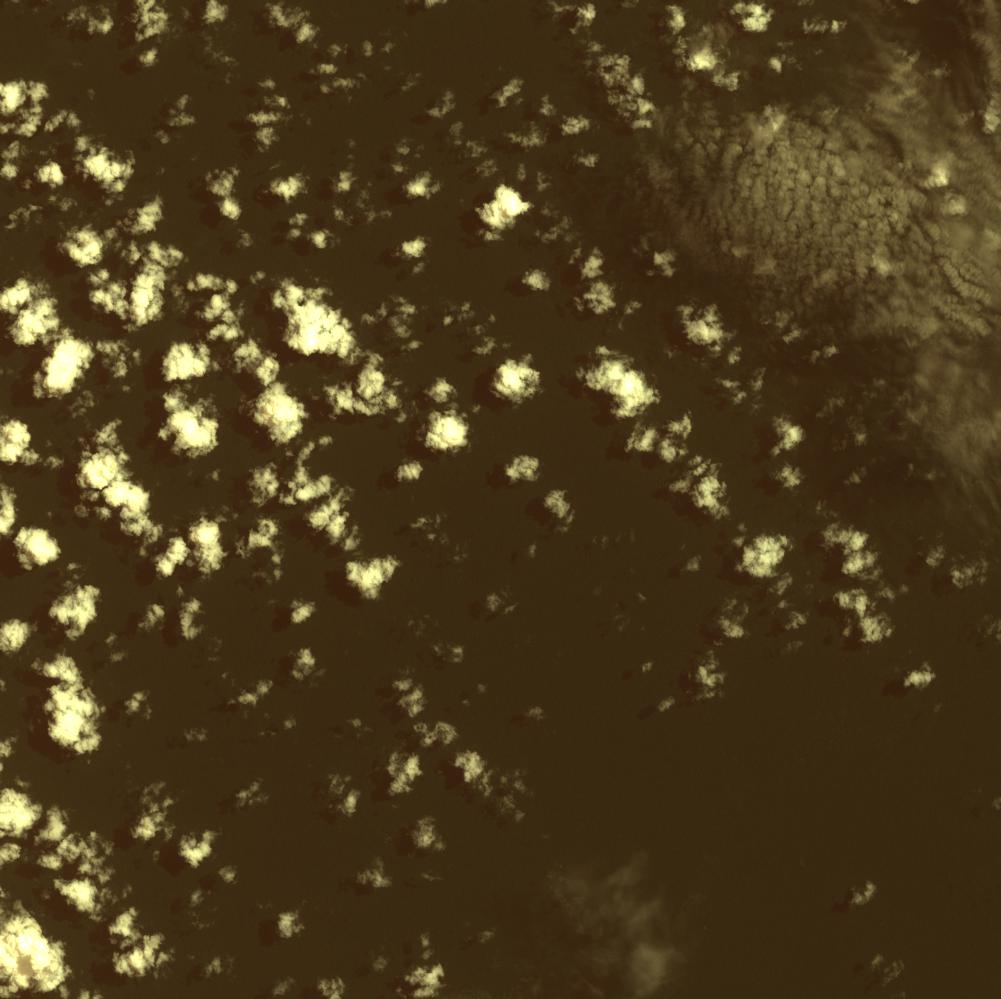
Date at scene centre | 2009-04-07T15:17:00Z |
End Acquisition | 2009-04-07T15:17:00Z |
Availability Time | 2009-04-07T15:17:00Z |
Satellite | ALOS |
Sensor | AVNIR-2 |
Sensor Type | OPTICAL |
Sensor Mode | OBS |
Orbit | 000000 |
Orbit Direction | DESCENDING |
Illumination Azimuth Angle | 64.85 |
Illumination Elevation Angle | 64.12 |
Footprint | -3.9100085 -72.0901682 -4.0899648 -72.0901682 -4.0899648 -71.9098516 -3.9100085 -71.9098516 -3.9100085 -72.0901682 |
Scene Centre | -3.9999867 -72.0000099 |
Size | 10578244 |
Cloud Cover Percentage | 16.4576 |
Acquisition Type | NOMINAL |
Product type | AL1_AV2_2F |
Processing Center | Astrium Services |
Processing Date | 2011-07-05T00:00:00Z |
Observed Country | Peru |
Bounding Box | -3.557 -72.438 -4.408 -72.438 -4.408 -71.962 -3.557 -71.962 |
Longitude | W072 |
Latitude | S004 |