Static Map Catalogue - Full Metadata Record
Collection Tropforest
Tropforest Dataset. More details.
DE1_OTPF_DE1_SL6_2F_20100422T152303_20100422T152303_000000_W072_S003
Download Product | Browse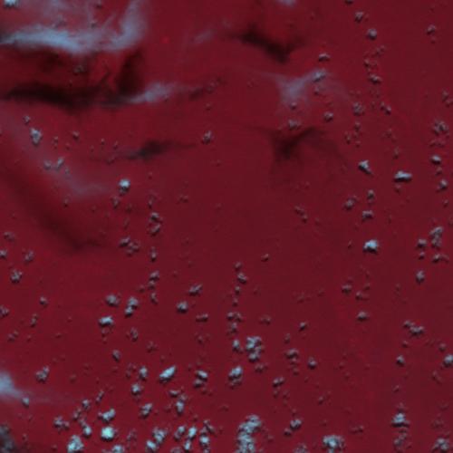
Date at scene centre | 2010-04-22T15:23:03Z |
End Acquisition | 2010-04-22T15:23:03Z |
Availability Time | 2010-04-22T15:23:03Z |
Satellite | DEIMOS |
Sensor | SLIM6 |
Sensor Type | OPTICAL |
Sensor Mode | NA |
Orbit | 000000 |
Orbit Direction | DESCENDING |
Illumination Azimuth Angle | 52.2687356871 |
Illumination Elevation Angle | 64.79960646176 |
Footprint | -2.90997281549 -72.0900149321 -3.09067867995 -72.0895366391 -3.09016574219 -71.9097901283 -2.90948991971 -71.9102978487 -2.90997281549 -72.0900149321 |
Scene Centre | -3.0000804728 -71.9999098869 |
Size | 2048154 |
Cloud Cover Percentage | 4.4 |
Acquisition Type | NOMINAL |
Product type | DE1_SL6_2F |
Processing Center | Astrium Services |
Processing Date | 2011-10-26T00:00:00Z |
Observed Country | Peru |
Bounding Box | -2.90948991971 -72.0900149321 -3.09067867995 -72.0900149321 -3.09067867995 -71.9097901283 -2.90948991971 -71.9097901283 |
Longitude | W072 |
Latitude | S003 |