Static Map Catalogue - Full Metadata Record
Collection Tropforest
Tropforest Dataset. More details.
AL1_OTPF_AL1_AV2_2F_20101011T000000_20101011T000000_000000_W072_S003
Download Product | Browse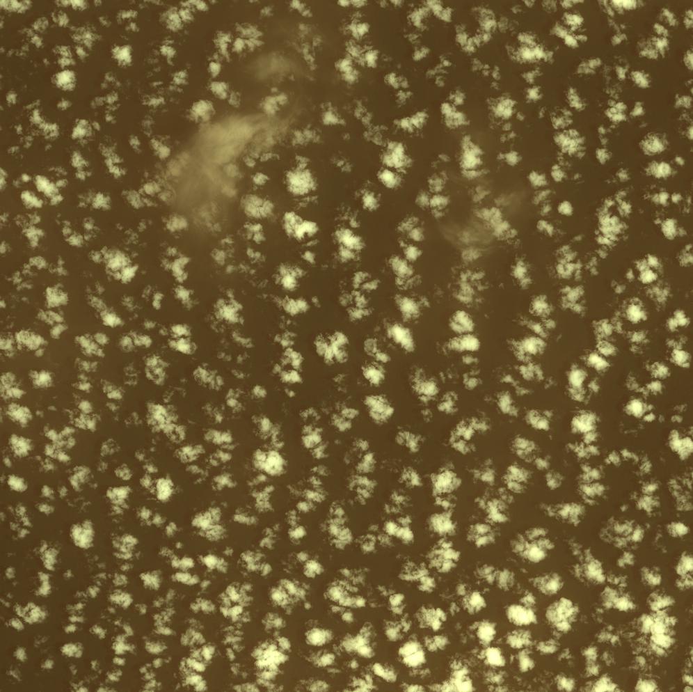
Date at scene centre | 2010-10-11T00:00:00Z |
End Acquisition | 2010-10-11T00:00:00Z |
Availability Time | 2010-10-11T00:00:00Z |
Satellite | ALOS |
Sensor | AVNIR-2 |
Sensor Type | OPTICAL |
Sensor Mode | OBS |
Orbit | 000000 |
Orbit Direction | DESCENDING |
Illumination Azimuth Angle | 102.61 |
Illumination Elevation Angle | 69.78 |
Footprint | -2.9100191 -72.0900965 -3.0898587 -72.0900965 -3.0898587 -71.9098953 -2.9100191 -71.9098953 -2.9100191 -72.0900965 |
Scene Centre | -2.9999389 -71.9999959 |
Size | 11634871 |
Cloud Cover Percentage | 7 |
Acquisition Type | NOMINAL |
Product type | AL1_AV2_2F |
Processing Center | Astrium Services |
Processing Date | 2011-11-30T00:00:00Z |
Observed Country | Peru |
Bounding Box | -2.611 -72.365 -3.364 -72.365 -3.364 -71.611 -2.611 -71.611 |
Longitude | W072 |
Latitude | S003 |