Static Map Catalogue - Full Metadata Record
Collection Tropforest
Tropforest Dataset. More details.
AL1_OTPF_AL1_AV2_2F_20101104T150614_20101104T150614_000000_W070_S003
Download Product | Browse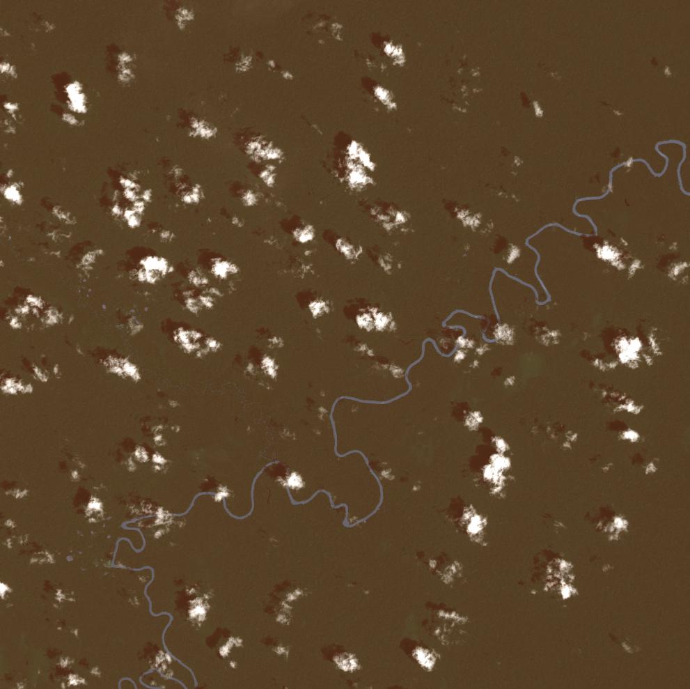
Date at scene centre | 2010-11-04T15:06:14Z |
End Acquisition | 2010-11-04T15:06:14Z |
Availability Time | 2010-11-04T15:06:14Z |
Satellite | ALOS |
Sensor | AVNIR-2 |
Sensor Type | OPTICAL |
Sensor Mode | OBS |
Orbit | 000000 |
Orbit Direction | DESCENDING |
Illumination Azimuth Angle | 124.65 |
Illumination Elevation Angle | 67.36 |
Footprint | -2.9099860 -70.0901229 -3.0898928 -70.0901229 -3.0898928 -69.9098524 -2.9099860 -69.9098524 -2.9099860 -70.0901229 |
Scene Centre | -2.9999394 -69.9999877 |
Size | 10456161 |
Cloud Cover Percentage | 2 |
Acquisition Type | NOMINAL |
Product type | AL1_AV2_2F |
Processing Center | Astrium Services |
Processing Date | 2011-10-14T00:00:00Z |
Observed Country | Colombia |
Bounding Box | -2.561 -70.085 -3.412 -70.085 -3.412 -69.61 -2.561 -69.61 |
Longitude | W070 |
Latitude | S003 |