Static Map Catalogue - Full Metadata Record
Collection Tropforest
Tropforest Dataset. More details.
AL1_OTPF_AL1_AV2_2F_20090508T150008_20090508T150008_000000_W069_S012
Download Product | Browse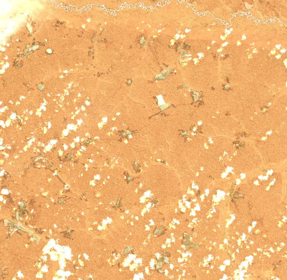
Date at scene centre | 2009-05-08T15:00:08Z |
End Acquisition | 2009-05-08T15:00:08Z |
Availability Time | 2009-05-08T15:00:08Z |
Satellite | ALOS |
Sensor | AVNIR-2 |
Sensor Type | OPTICAL |
Sensor Mode | OBS |
Orbit | 000000 |
Orbit Direction | DESCENDING |
Illumination Azimuth Angle | 38.54 |
Illumination Elevation Angle | 52.91 |
Footprint | -11.9100463 -69.0919907 -12.0898611 -69.0919907 -12.0898611 -68.9081019 -11.9100463 -68.9081019 -11.9100463 -69.0919907 |
Scene Centre | -11.9999537 -69.0000463 |
Size | 10052796 |
Cloud Cover Percentage | 1.2675 |
Acquisition Type | NOMINAL |
Product type | AL1_AV2_2F |
Processing Center | Astrium Services |
Processing Date | 2011-12-08T00:00:00Z |
Observed Country | Bolivia/Peru |
Bounding Box | -11.525 -69.329 -12.376 -69.329 -12.376 -68.844 -11.525 -68.844 |
Longitude | W069 |
Latitude | S012 |