Static Map Catalogue - Full Metadata Record
Collection Tropforest
Tropforest Dataset. More details.
DE1_OTPF_DE1_SL6_2F_20100505T152800_20100505T152800_000000_W067_S020
Download Product | Browse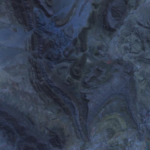
Date at scene centre | 2010-05-05T15:28:00Z |
End Acquisition | 2010-05-05T15:28:00Z |
Availability Time | 2010-05-05T15:28:00Z |
Satellite | DEIMOS |
Sensor | SLIM6 |
Sensor Type | OPTICAL |
Sensor Mode | NA |
Orbit | 000000 |
Orbit Direction | DESCENDING |
Illumination Azimuth Angle | 22.41160225851 |
Illumination Elevation Angle | 51.30841502658 |
Footprint | -19.910816096 -67.0965291643 -20.0914493734 -67.0943557209 -20.0892771881 -66.9031686336 -19.9086650604 -66.9055597604 -19.910816096 -67.0965291643 |
Scene Centre | -20.0000775336 -66.9999033185 |
Size | 2026048 |
Cloud Cover Percentage | 0 |
Acquisition Type | NOMINAL |
Product type | DE1_SL6_2F |
Processing Center | Astrium Services |
Processing Date | 2011-10-26T00:00:00Z |
Observed Country | Bolivia |
Bounding Box | -19.9086650604 -67.0965291643 -20.0914493734 -67.0965291643 -20.0914493734 -66.9031686336 -19.9086650604 -66.9031686336 |
Longitude | W067 |
Latitude | S020 |