Static Map Catalogue - Full Metadata Record
Collection Tropforest
Tropforest Dataset. More details.
AL1_OTPF_AL1_AV2_2F_20100414T000000_20100414T000000_000000_W065_S011
Download Product | Browse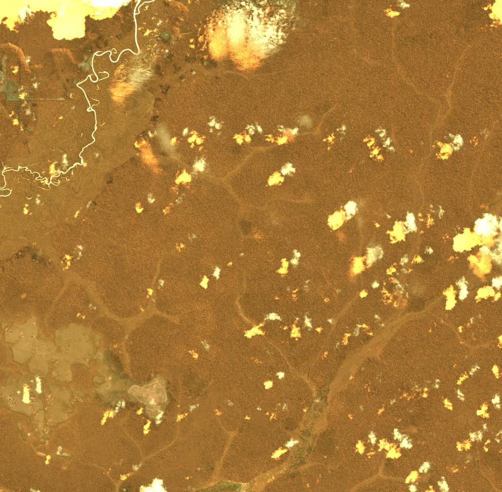
Date at scene centre | 2010-04-14T00:00:00Z |
End Acquisition | 2010-04-14T00:00:00Z |
Availability Time | 2010-04-14T00:00:00Z |
Satellite | ALOS |
Sensor | AVNIR-2 |
Sensor Type | OPTICAL |
Sensor Mode | OBS |
Orbit | 000000 |
Orbit Direction | DESCENDING |
Illumination Azimuth Angle | 50.15 |
Illumination Elevation Angle | 58.62 |
Footprint | -10.9100463 -65.0917130 -11.0898611 -65.0917130 -11.0898611 -64.9083796 -10.9100463 -64.9083796 -10.9100463 -65.0917130 |
Scene Centre | -10.9999537 -65.0000463 |
Size | 8633044 |
Cloud Cover Percentage | 1.053 |
Acquisition Type | NOMINAL |
Product type | AL1_AV2_2F |
Processing Center | Astrium Services |
Processing Date | 2011-08-31T00:00:00Z |
Observed Country | Brazil |
Bounding Box | -10.579 -65.49 -11.334 -65.49 -11.334 -64.726 -10.579 -64.726 |
Longitude | W065 |
Latitude | S011 |