Static Map Catalogue - Full Metadata Record
Collection Tropforest
Tropforest Dataset. More details.
AL1_OTPF_AL1_AV2_2F_20100621T144959_20100621T144959_000000_W065_N000
Download Product | Browse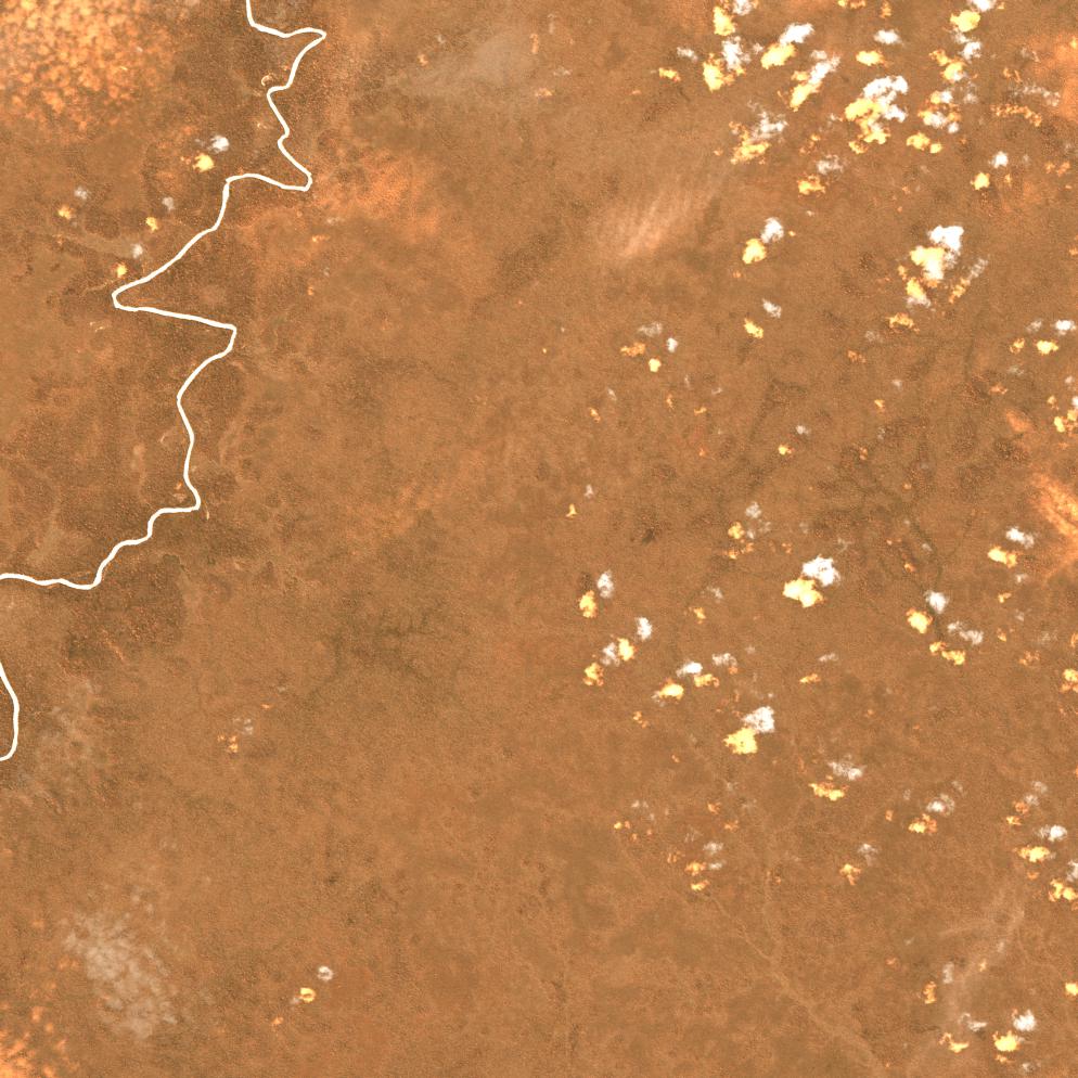
Date at scene centre | 2010-06-21T14:49:59Z |
End Acquisition | 2010-06-21T14:49:59Z |
Availability Time | 2010-06-21T14:49:59Z |
Satellite | ALOS |
Sensor | AVNIR-2 |
Sensor Type | OPTICAL |
Sensor Mode | OBS |
Orbit | 000000 |
Orbit Direction | DESCENDING |
Illumination Azimuth Angle | 41.88 |
Illumination Elevation Angle | 57.71 |
Footprint | 0.0899553 -65.0899444 -0.0898815 -65.0899444 -0.0898815 -64.9101099 0.0899553 -64.9101099 0.0899553 -65.0899444 |
Scene Centre | 0.0000369 -65.0000272 |
Size | 9229518 |
Cloud Cover Percentage | 1 |
Acquisition Type | NOMINAL |
Product type | AL1_AV2_2F |
Processing Center | Astrium Services |
Processing Date | 2011-11-30T00:00:00Z |
Observed Country | Brazil |
Bounding Box | 0.429 -65.156 -0.421 -65.156 -0.421 -64.682 0.429 -64.682 |
Longitude | W065 |
Latitude | N000 |