Static Map Catalogue - Full Metadata Record
Collection Tropforest
Tropforest Dataset. More details.
AL1_OTPF_AL1_AV2_2F_20090315T143117_20090315T143117_000000_W063_S018
Download Product | Browse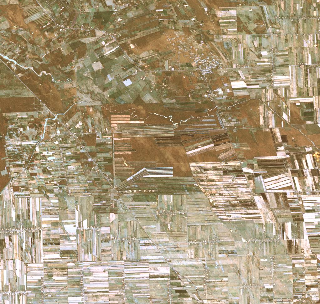
Date at scene centre | 2009-03-15T14:31:17Z |
End Acquisition | 2009-03-15T14:31:17Z |
Availability Time | 2009-03-15T14:31:17Z |
Satellite | ALOS |
Sensor | AVNIR-2 |
Sensor Type | OPTICAL |
Sensor Mode | OBS |
Orbit | 000000 |
Orbit Direction | DESCENDING |
Illumination Azimuth Angle | 62.24 |
Illumination Elevation Angle | 58.81 |
Footprint | -17.9099537 -63.0946759 -18.0898611 -63.0946759 -18.0898611 -62.9054167 -17.9099537 -62.9054167 -17.9099537 -63.0946759 |
Scene Centre | -17.9999074 -63.0000463 |
Size | 12679347 |
Cloud Cover Percentage | 0 |
Acquisition Type | NOMINAL |
Product type | AL1_AV2_2F |
Processing Center | Astrium Services |
Processing Date | 2011-12-09T00:00:00Z |
Observed Country | Bolivia |
Bounding Box | -17.492 -63.152 -18.344 -63.152 -18.344 -62.653 -17.492 -62.653 |
Longitude | W063 |
Latitude | S018 |