Static Map Catalogue - Full Metadata Record
Collection Tropforest
Tropforest Dataset. More details.
AL1_OTPF_AL1_AV2_2F_20100616T144320_20100616T144320_000000_W063_N001
Download Product | Browse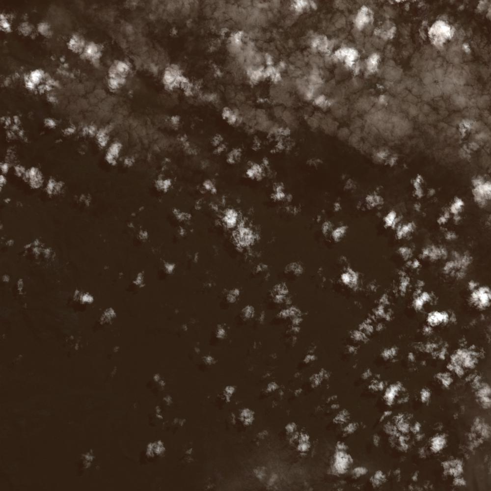
Date at scene centre | 2010-06-16T14:43:20Z |
End Acquisition | 2010-06-16T14:43:20Z |
Availability Time | 2010-06-16T14:43:20Z |
Satellite | ALOS |
Sensor | AVNIR-2 |
Sensor Type | OPTICAL |
Sensor Mode | OBS |
Orbit | 000000 |
Orbit Direction | DESCENDING |
Illumination Azimuth Angle | 42.57 |
Illumination Elevation Angle | 58.79 |
Footprint | 1.0900006 -63.0899682 0.9101006 -63.0899682 0.9101006 -62.9099783 1.0900006 -62.9099783 1.0900006 -63.0899682 |
Scene Centre | 1.0000506 -62.9999733 |
Size | 10943204 |
Cloud Cover Percentage | 23.6625 |
Acquisition Type | NOMINAL |
Product type | AL1_AV2_2F |
Processing Center | Astrium Services |
Processing Date | 2011-07-07T00:00:00Z |
Observed Country | Brazil |
Bounding Box | 1.425 -63.335 0.575 -63.335 0.575 -62.861 1.425 -62.861 |
Longitude | W063 |
Latitude | N001 |