Static Map Catalogue - Full Metadata Record
Collection Tropforest
Tropforest Dataset. More details.
AL1_OTPF_AL1_AV2_2F_20090822T143652_20090822T143652_000000_W062_S003
Download Product | Browse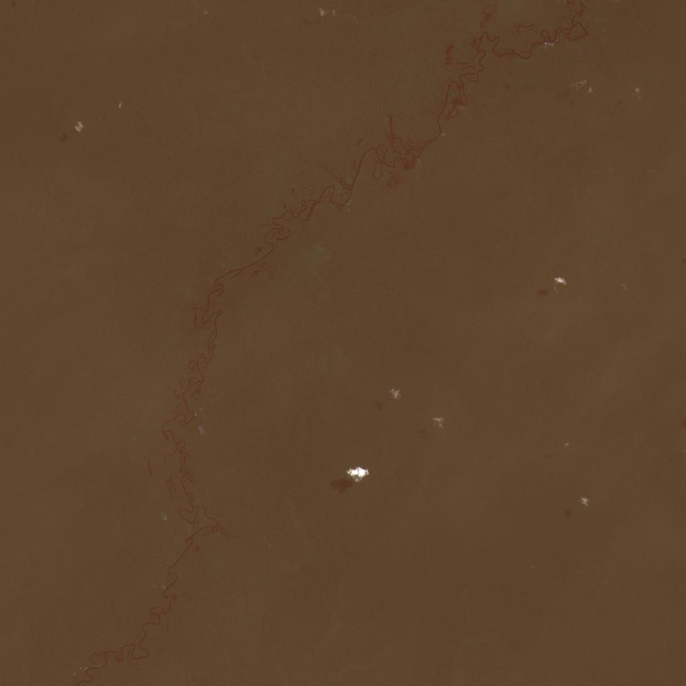
Date at scene centre | 2009-08-22T14:36:52Z |
End Acquisition | 2009-08-22T14:36:52Z |
Availability Time | 2009-08-22T14:36:52Z |
Satellite | ALOS |
Sensor | AVNIR-2 |
Sensor Type | OPTICAL |
Sensor Mode | OBS |
Orbit | 000000 |
Orbit Direction | DESCENDING |
Illumination Azimuth Angle | 57.38 |
Illumination Elevation Angle | 62.64 |
Footprint | -2.9100259 -62.0901083 -3.0900114 -62.0901083 -3.0900114 -61.9099423 -2.9100259 -61.9099423 -2.9100259 -62.0901083 |
Scene Centre | -3.0000186 -62.0000253 |
Size | 9211557 |
Cloud Cover Percentage | 0 |
Acquisition Type | NOMINAL |
Product type | AL1_AV2_2F |
Processing Center | Astrium Services |
Processing Date | 2011-10-13T00:00:00Z |
Observed Country | Brazil |
Bounding Box | -2.561 -62.031 -3.412 -62.031 -3.412 -61.556 -2.561 -61.556 |
Longitude | W062 |
Latitude | S003 |