Static Map Catalogue - Full Metadata Record
Collection Tropforest
Tropforest Dataset. More details.
AL1_OTPF_AL1_AV2_2F_20100613T142425_20100613T142425_000000_W061_S016
Download Product | Browse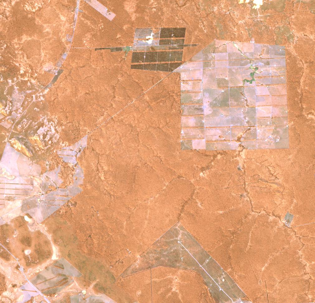
Date at scene centre | 2010-06-13T14:24:25Z |
End Acquisition | 2010-06-13T14:24:25Z |
Availability Time | 2010-06-13T14:24:25Z |
Satellite | ALOS |
Sensor | AVNIR-2 |
Sensor Type | OPTICAL |
Sensor Mode | OBS |
Orbit | 000000 |
Orbit Direction | DESCENDING |
Illumination Azimuth Angle | 32.31 |
Illumination Elevation Angle | 43.97 |
Footprint | -15.9100463 -61.0936574 -16.0898611 -61.0936574 -16.0898611 -60.9064352 -15.9100463 -60.9064352 -15.9100463 -61.0936574 |
Scene Centre | -15.9999537 -61.0000463 |
Size | 9847712 |
Cloud Cover Percentage | 0 |
Acquisition Type | NOMINAL |
Product type | AL1_AV2_2F |
Processing Center | Astrium Services |
Processing Date | 2012-01-18T00:00:00Z |
Observed Country | Bolivia |
Bounding Box | -15.506 -61.082 -16.357 -61.082 -16.357 -60.588 -15.506 -60.588 |
Longitude | W061 |
Latitude | S016 |