Static Map Catalogue - Full Metadata Record
Collection Tropforest
Tropforest Dataset. More details.
AL1_OTPF_AL1_AV2_2F_20090812T142659_20090812T142659_000000_W061_S014
Download Product | Browse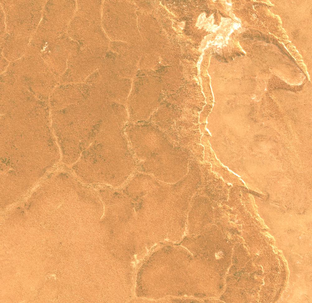
Date at scene centre | 2009-08-12T14:26:59Z |
End Acquisition | 2009-08-12T14:26:59Z |
Availability Time | 2009-08-12T14:26:59Z |
Satellite | ALOS |
Sensor | AVNIR-2 |
Sensor Type | OPTICAL |
Sensor Mode | OBS |
Orbit | 000000 |
Orbit Direction | DESCENDING |
Illumination Azimuth Angle | 42.17 |
Illumination Elevation Angle | 51.79 |
Footprint | -13.9100463 -61.0927315 -14.0898611 -61.0927315 -14.0898611 -60.9073611 -13.9100463 -60.9073611 -13.9100463 -61.0927315 |
Scene Centre | -13.9999537 -61.0000463 |
Size | 9098139 |
Cloud Cover Percentage | 0 |
Acquisition Type | NOMINAL |
Product type | AL1_AV2_2F |
Processing Center | Astrium Services |
Processing Date | 2011-05-23T00:00:00Z |
Observed Country | Bolivia |
Bounding Box | -13.514 -61.183 -14.366 -61.183 -14.366 -60.693 -13.514 -60.693 |
Longitude | W061 |
Latitude | S014 |