Static Map Catalogue - Full Metadata Record
Collection Tropforest
Tropforest Dataset. More details.
AL1_OTPF_AL1_AV2_2F_20090714T142702_20090714T142702_000000_W060_S007
Download Product | Browse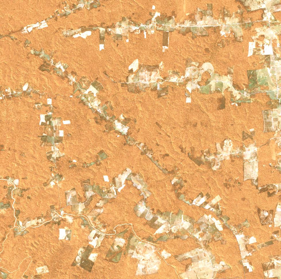
Date at scene centre | 2009-07-14T14:27:02Z |
End Acquisition | 2009-07-14T14:27:02Z |
Availability Time | 2009-07-14T14:27:02Z |
Satellite | ALOS |
Sensor | AVNIR-2 |
Sensor Type | OPTICAL |
Sensor Mode | OBS |
Orbit | 000000 |
Orbit Direction | DESCENDING |
Illumination Azimuth Angle | 39.67 |
Illumination Elevation Angle | 52.56 |
Footprint | -6.9100463 -60.0906944 -7.0898611 -60.0906944 -7.0898611 -59.9093981 -6.9100463 -59.9093981 -6.9100463 -60.0906944 |
Scene Centre | -6.9999537 -60.0000463 |
Size | 10093910 |
Cloud Cover Percentage | 0 |
Acquisition Type | NOMINAL |
Product type | AL1_AV2_2F |
Processing Center | Astrium Services |
Processing Date | 2012-01-18T00:00:00Z |
Observed Country | Brazil |
Bounding Box | -6.545 -60.198 -7.396 -60.198 -7.396 -59.719 -6.545 -59.719 |
Longitude | W060 |
Latitude | S007 |