Static Map Catalogue - Full Metadata Record
Collection Tropforest
Tropforest Dataset. More details.
AL1_OTPF_AL1_AV2_2F_20100510T000000_20100510T000000_000000_W059_S013
Download Product | Browse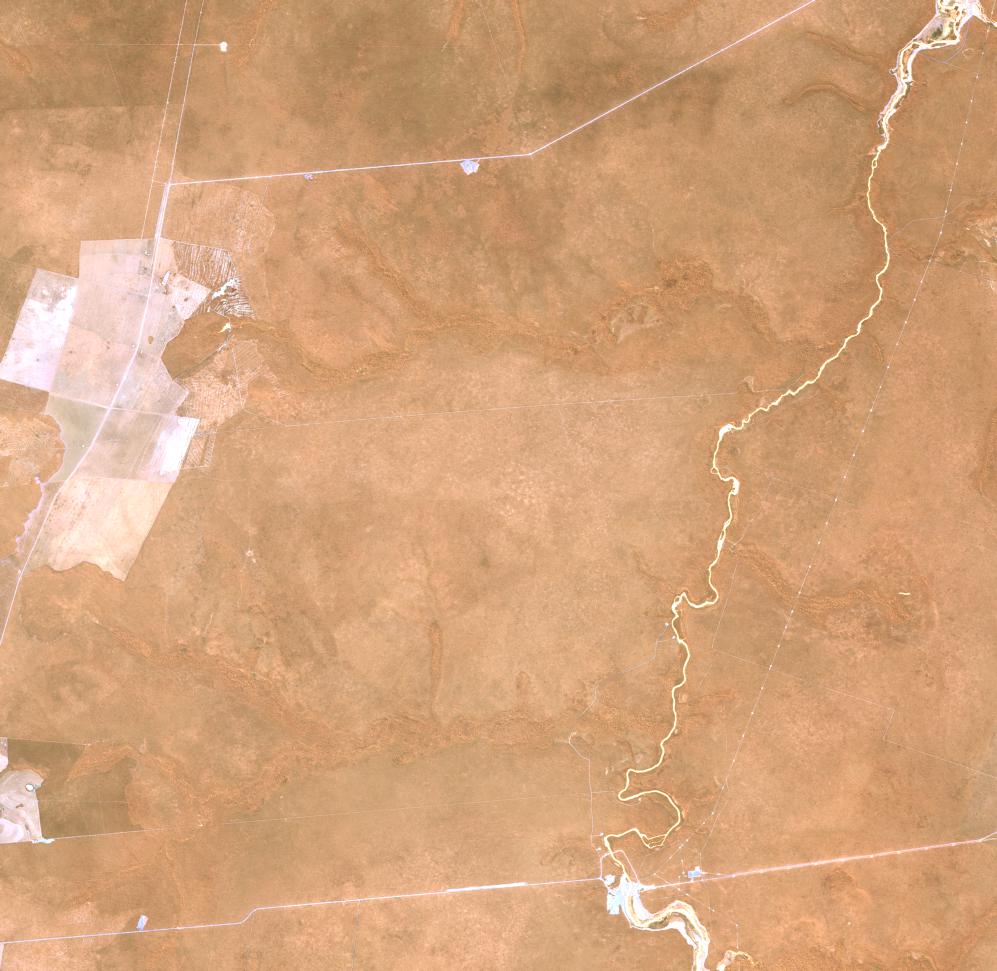
Date at scene centre | 2010-05-10T00:00:00Z |
End Acquisition | 2010-05-10T00:00:00Z |
Availability Time | 2010-05-10T00:00:00Z |
Satellite | ALOS |
Sensor | AVNIR-2 |
Sensor Type | OPTICAL |
Sensor Mode | OBS |
Orbit | 000000 |
Orbit Direction | DESCENDING |
Illumination Azimuth Angle | 37.43 |
Illumination Elevation Angle | 51.69 |
Footprint | -12.9100463 -59.0923611 -13.0898611 -59.0923611 -13.0898611 -58.9077315 -12.9100463 -58.9077315 -12.9100463 -59.0923611 |
Scene Centre | -12.9999537 -59.0000463 |
Size | 8802261 |
Cloud Cover Percentage | 0 |
Acquisition Type | NOMINAL |
Product type | AL1_AV2_2F |
Processing Center | Astrium Services |
Processing Date | 2011-08-31T00:00:00Z |
Observed Country | Brazil |
Bounding Box | -12.567 -59.487 -13.323 -59.487 -13.323 -58.718 -12.567 -58.718 |
Longitude | W059 |
Latitude | S013 |