Static Map Catalogue - Full Metadata Record
Collection Tropforest
Tropforest Dataset. More details.
AL1_OTPF_AL1_AV2_2F_20090709T142125_20090709T142125_000000_W059_S010
Download Product | Browse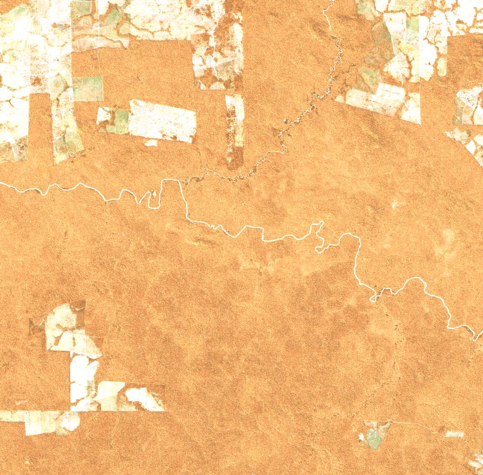
Date at scene centre | 2009-07-09T14:21:25Z |
End Acquisition | 2009-07-09T14:21:25Z |
Availability Time | 2009-07-09T14:21:25Z |
Satellite | ALOS |
Sensor | AVNIR-2 |
Sensor Type | OPTICAL |
Sensor Mode | OBS |
Orbit | 000000 |
Orbit Direction | DESCENDING |
Illumination Azimuth Angle | 36.97 |
Illumination Elevation Angle | 49.51 |
Footprint | -9.9100463 -59.0914352 -10.0898611 -59.0914352 -10.0898611 -58.9086574 -9.9100463 -58.9086574 -9.9100463 -59.0914352 |
Scene Centre | -9.9999537 -59.0000463 |
Size | 9420022 |
Cloud Cover Percentage | 0 |
Acquisition Type | NOMINAL |
Product type | AL1_AV2_2F |
Processing Center | Astrium Services |
Processing Date | 2011-08-16T00:00:00Z |
Observed Country | Brazil |
Bounding Box | -9.534 -59.24 -10.385 -59.24 -10.385 -58.758 -9.534 -58.758 |
Longitude | W059 |
Latitude | S010 |