Static Map Catalogue - Full Metadata Record
Collection Tropforest
Tropforest Dataset. More details.
AL1_OTPF_AL1_AV2_2F_20100430T000000_20100430T000000_000000_W058_S023
Download Product | Browse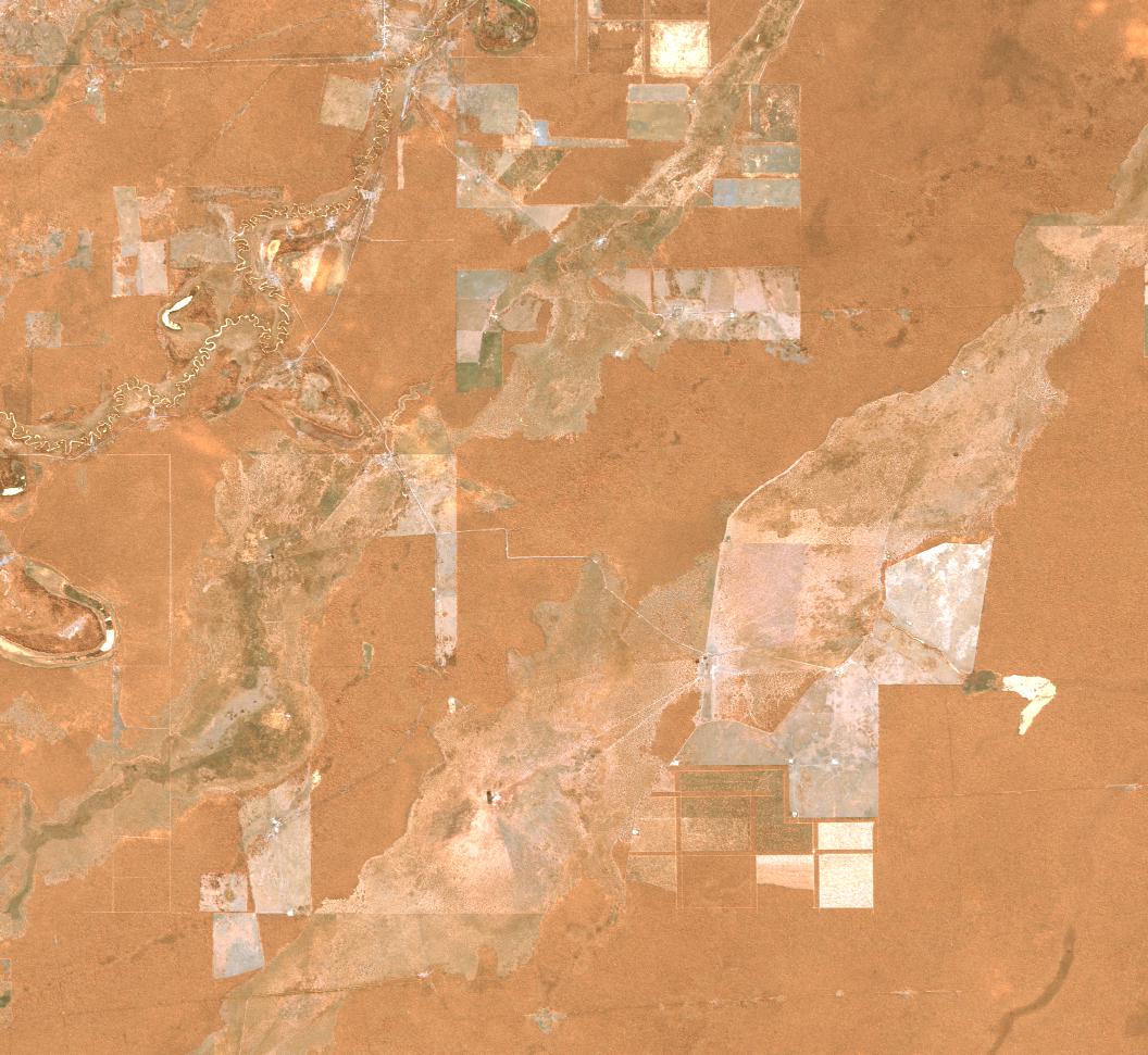
Date at scene centre | 2010-04-30T00:00:00Z |
End Acquisition | 2010-04-30T00:00:00Z |
Availability Time | 2010-04-30T00:00:00Z |
Satellite | ALOS |
Sensor | AVNIR-2 |
Sensor Type | OPTICAL |
Sensor Mode | OBS |
Orbit | 000000 |
Orbit Direction | DESCENDING |
Illumination Azimuth Angle | 35.35 |
Illumination Elevation Angle | 44.99 |
Footprint | -22.9099537 -58.0978241 -23.0898611 -58.0978241 -23.0898611 -57.9022685 -22.9099537 -57.9022685 -22.9099537 -58.0978241 |
Scene Centre | -22.9999074 -58.0000463 |
Size | 10075421 |
Cloud Cover Percentage | 0 |
Acquisition Type | NOMINAL |
Product type | AL1_AV2_2F |
Processing Center | Astrium Services |
Processing Date | 2011-08-24T00:00:00Z |
Observed Country | Paraguay |
Bounding Box | -22.509 -58.549 -23.267 -58.549 -23.267 -57.729 -22.509 -57.729 |
Longitude | W058 |
Latitude | S023 |