Static Map Catalogue - Full Metadata Record
Collection Tropforest
Tropforest Dataset. More details.
AL1_OTPF_AL1_AV2_2F_20090905T141618_20090905T141618_000000_W057_S006
Download Product | Browse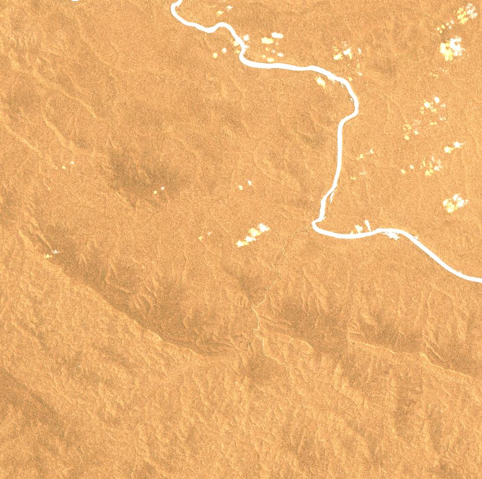
Date at scene centre | 2009-09-05T14:16:18Z |
End Acquisition | 2009-09-05T14:16:18Z |
Availability Time | 2009-09-05T14:16:18Z |
Satellite | ALOS |
Sensor | AVNIR-2 |
Sensor Type | OPTICAL |
Sensor Mode | OBS |
Orbit | 000000 |
Orbit Direction | DESCENDING |
Illumination Azimuth Angle | 61.21 |
Illumination Elevation Angle | 64.13 |
Footprint | -5.9100463 -57.0905093 -6.0898611 -57.0905093 -6.0898611 -56.9095833 -5.9100463 -56.9095833 -5.9100463 -57.0905093 |
Scene Centre | -5.9999537 -57.0000463 |
Size | 9222658 |
Cloud Cover Percentage | 1.1536 |
Acquisition Type | NOMINAL |
Product type | AL1_AV2_2F |
Processing Center | Astrium Services |
Processing Date | 2011-08-11T00:00:00Z |
Observed Country | Brazil |
Bounding Box | -5.55 -57.304 -6.401 -57.304 -6.401 -56.826 -5.55 -56.826 |
Longitude | W057 |
Latitude | S006 |