Static Map Catalogue - Full Metadata Record
Collection Tropforest
Tropforest Dataset. More details.
AL1_OTPF_AL1_AV2_2F_20090604T133907_20090604T133907_000000_W050_S021
Download Product | Browse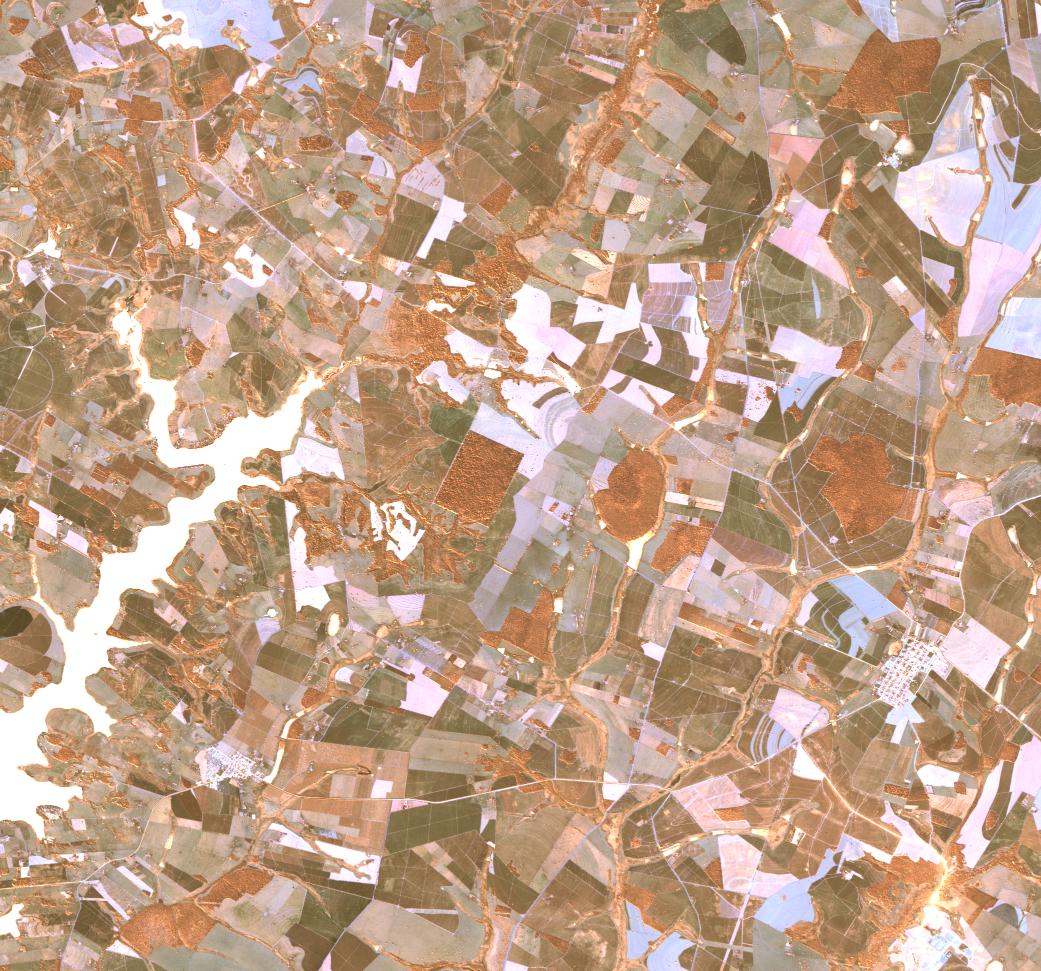
Date at scene centre | 2009-06-04T13:39:07Z |
End Acquisition | 2009-06-04T13:39:07Z |
Availability Time | 2009-06-04T13:39:07Z |
Satellite | ALOS |
Sensor | AVNIR-2 |
Sensor Type | OPTICAL |
Sensor Mode | OBS |
Orbit | 000000 |
Orbit Direction | DESCENDING |
Illumination Azimuth Angle | 30.75 |
Illumination Elevation Angle | 40.23 |
Footprint | -20.9099537 -50.0964352 -21.0898611 -50.0964352 -21.0898611 -49.9036574 -20.9099537 -49.9036574 -20.9099537 -50.0964352 |
Scene Centre | -20.9999074 -50.0000463 |
Size | 11354206 |
Cloud Cover Percentage | 0 |
Acquisition Type | NOMINAL |
Product type | AL1_AV2_2F |
Processing Center | Astrium Services |
Processing Date | 2011-08-17T00:00:00Z |
Observed Country | Brazil |
Bounding Box | -20.473 -50.434 -21.325 -50.434 -21.325 -49.927 -20.473 -49.927 |
Longitude | W050 |
Latitude | S021 |