Static Map Catalogue - Full Metadata Record
Collection SkySat
SkySat ESA Archive. More details.
SSC_OPER_SSC_DEF_CO_20210608T130647_S13-478_W047-287_01
Download Product | Browse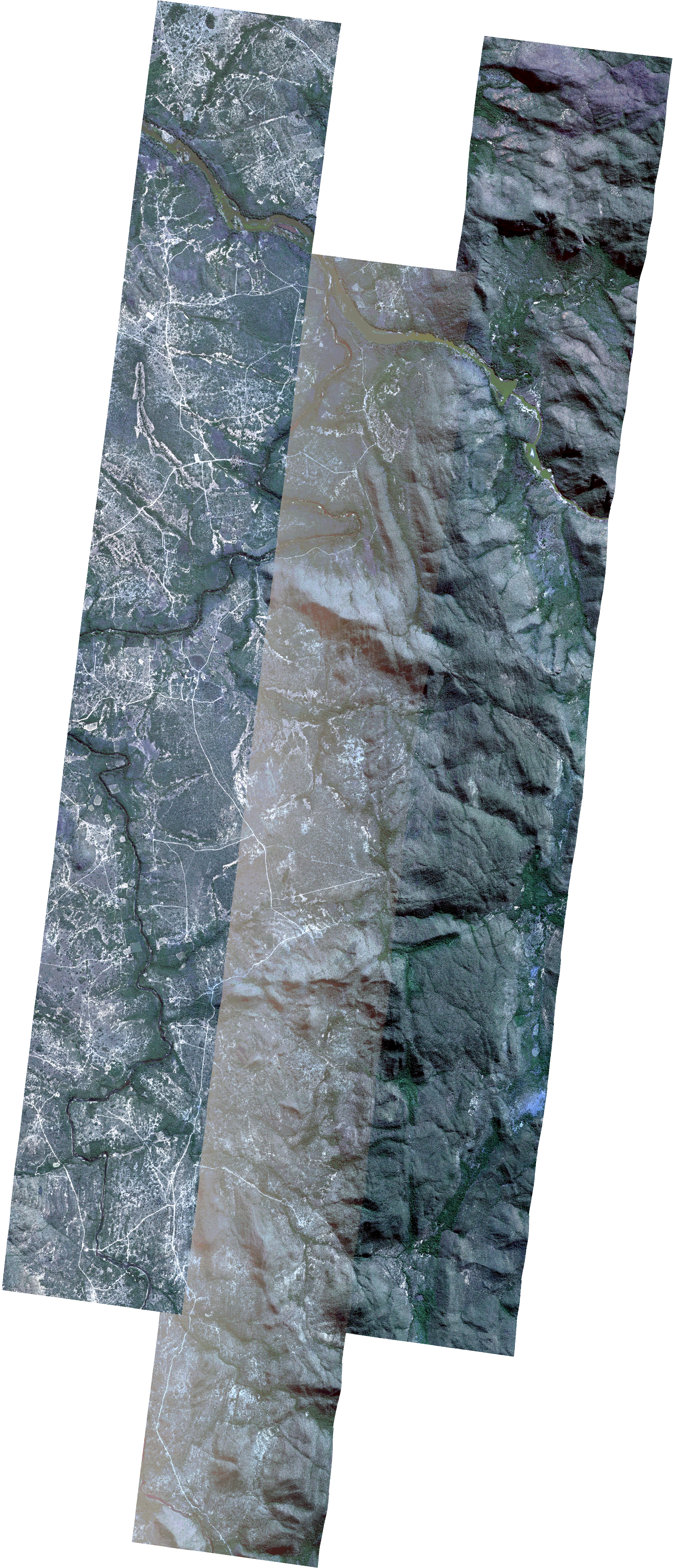
Path | W047 |
Row | S13 |
Start Date | 2021-06-08T13:06:47Z |
Stop Date | 2021-06-08T13:06:47Z |
Availability Time | 2021-06-08T13:06:47Z |
Platform Short Name | SkySat |
Instrument Short Name | SkySat Camera |
Sensor Type | OPTICAL |
Operational mode | CAMERA |
Resolution | 0.5 |
Orbit Number | 0 |
Orbit Direction | |
Illumination Azimuth Angle | 39.6 |
Illumination Elevation Angle | 43 |
Across Track Incidence Angle | 10.8 |
Footprint | -13.5576975553 -47.2891293 -13.5576977397 -47.289128023 -13.5576799061 -47.2891263692 -13.5564474776 -47.2889217153 -13.5564344531 -47.2890108762 -13.5495041153 -47.2883682139 -13.5436185367 -47.2874996639 -13.543624378 -47.2874582771 -13.5390488852 -47.2867448847 -13.5418098561 -47.2681694862 -13.5334872733 -47.267202033 -13.5334803925 -47.2672484366 -13.527705811 -47.2664602963 -13.527711992 -47.2664177614 -13.5194359822 -47.2652915943 -13.5194299367 -47.2653330417 -13.5124588743 -47.2641285984 -13.5124464062 -47.2642142493 -13.5053946937 -47.2633313722 -13.5053890674 -47.2633707055 -13.4983461734 -47.262490329 -13.4983425884 -47.2625155652 -13.4913188705 -47.2616192229 -13.4913141047 -47.2616530545 -13.4843391441 -47.2604811061 -13.4843294489 -47.2605503669 -13.4773109666 -47.2596054326 -13.4773024487 -47.2596668448 -13.4702448273 -47.2590338361 -13.4702407454 -47.2590634677 -13.4632519624 -47.2582267352 -13.4562188836 -47.2571112748 -13.4562028498 -47.2572294488 -13.4491874827 -47.2564904677 -13.4491738496 -47.2565909494 -13.4421989212 -47.2553423867 -13.4421899169 -47.2554092416 -13.4351975637 -47.2542938204 -13.4351912729 -47.2543414048 -13.4284570496 -47.2534382803 -13.4211877143 -47.2521870971 -13.4211686614 -47.2523323898 -13.4154340294 -47.2513983191 -13.415434632 -47.2513935774 -13.407149176 -47.2499879807 -13.4071417436 -47.2500475686 -13.4001352423 -47.249130922 -13.3974871337 -47.2702408037 -13.4057799943 -47.2715398007 -13.4057877246 -47.2714768831 -13.4127694453 -47.2723628904 -13.4127715632 -47.2723462268 -13.4197610784 -47.2732275221 -13.419774569 -47.273123902 -13.423115704 -47.2736377397 -13.4211265716 -47.2896238602 -13.4169267973 -47.289016846 -13.4169176651 -47.2890847846 -13.4099504479 -47.2880702663 -13.4099408914 -47.2881418128 -13.4029680438 -47.2871214434 -13.4029618746 -47.2871678136 -13.395975143 -47.2860378741 -13.3932649996 -47.3066832964 -13.4015628214 -47.3079277517 -13.4015733413 -47.307848093 -13.4085310957 -47.3088842247 -13.4085414949 -47.3088059444 -13.415498227 -47.3098237574 -13.4155099381 -47.3097360208 -13.4224533254 -47.310727123 -13.4224656327 -47.3106355692 -13.4294130649 -47.3115977725 -13.4294225685 -47.3115275542 -13.436372808 -47.3125368833 -13.4363845512 -47.3124506548 -13.4433326116 -47.3135207293 -13.4433461625 -47.3134214048 -13.4502891649 -47.3144565987 -13.4503016429 -47.3143656418 -13.4572464728 -47.3154117544 -13.4572577272 -47.315330078 -13.4642112911 -47.3163525897 -13.4642215752 -47.3162783488 -13.4711803467 -47.3172950266 -13.4711915361 -47.3172146562 -13.4781482742 -47.3182225179 -13.4781585645 -47.3181489437 -13.4851227128 -47.319097521 -13.4851318672 -47.3190324003 -13.4920776252 -47.3200828399 -13.4920914829 -47.319984705 -13.4990464533 -47.3209919687 -13.4990585104 -47.3209070852 -13.5060165867 -47.3219442146 -13.5060261967 -47.3218768109 -13.5129930633 -47.3228836644 -13.5130043398 -47.3228049536 -13.5199632645 -47.3238404634 -13.5199813334 -47.3237152492 -13.5269741652 -47.3246459954 -13.5269830899 -47.3245840914 -13.5339772615 -47.3255079421 -13.5365294064 -47.3078003974 -13.5406722146 -47.308375234 -13.5406793522 -47.308324662 -13.5476538299 -47.3093496506 -13.5476640526 -47.309277624 -13.5546434178 -47.3102803683 -13.5546522654 -47.3102190956 -13.5616435812 -47.3111950645 -13.5646694647 -47.2902870373 -13.5576975553 -47.2891293 |
Scene Centre | -13.4789701169 -47.2873194321 |
Size | 13226735199 |
Product type | SSC_DEF_CO |
Acquisition Type | NOMINAL |
Cloud-Cover Percentage | 0 |
Original Name | 20210608_130647_ssc13_u0001_SkySatCollect |
Bounding Box | -13.3932649996 -47.3255079421 -13.5646694647 -47.3255079421 -13.5646694647 -47.249130922 -13.3932649996 -47.249130922 |