Static Map Catalogue - Full Metadata Record
Collection SkySat
SkySat ESA Archive. More details.
SSC_OPER_SSC_DEF_CO_20210902T092034_S20-439_E057-677_01
Download Product | Browse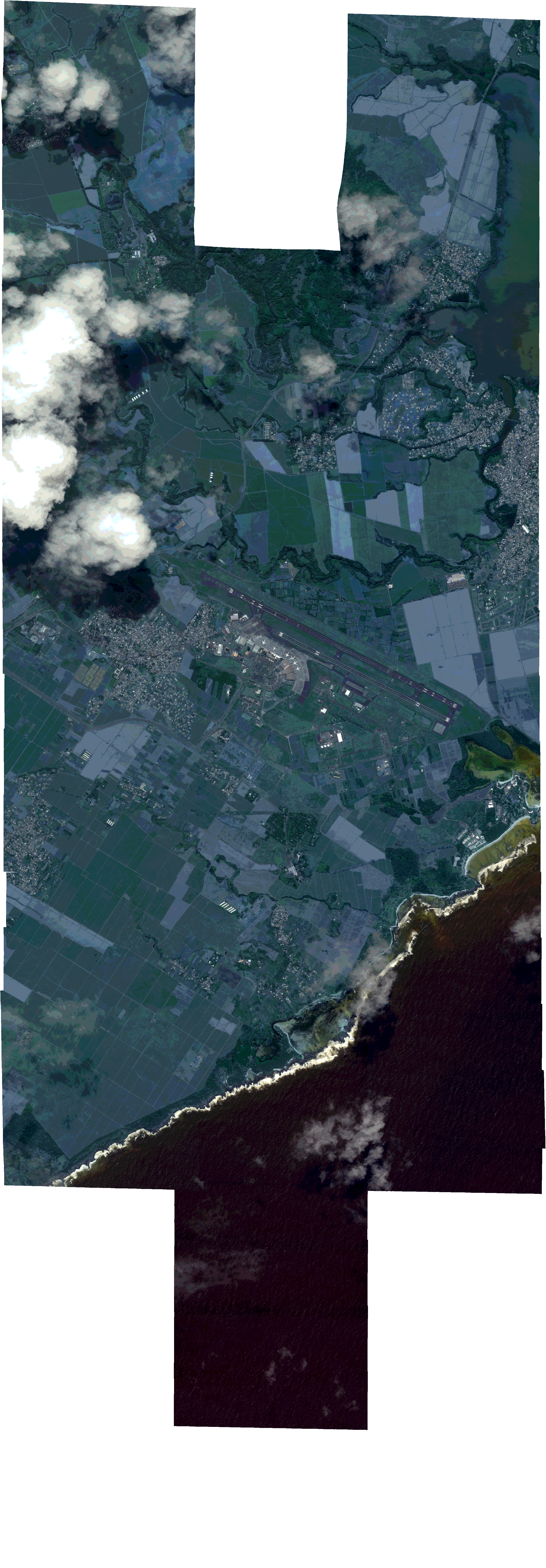
Path | E057 |
Row | S20 |
Start Date | 2021-09-02T09:20:34Z |
Stop Date | 2021-09-02T09:20:34Z |
Availability Time | 2021-09-02T09:20:34Z |
Platform Short Name | SkySat |
Instrument Short Name | SkySat Camera |
Sensor Type | OPTICAL |
Operational mode | CAMERA |
Resolution | 0.5 |
Orbit Number | 0 |
Orbit Direction | |
Illumination Azimuth Angle | 326.2 |
Illumination Elevation Angle | 56.7 |
Across Track Incidence Angle | 18.4 |
Footprint | -20.5090868224 57.6881801661 -20.5019579824 57.6881972596 -20.5019570779 57.6881487156 -20.4948296786 57.6881657363 -20.4948284828 57.6881049137 -20.4915430255 57.6881108774 -20.4918720858 57.7080941116 -20.4848924663 57.708117394 -20.4848984834 57.7084956042 -20.476410197 57.7082635513 -20.4764055 57.7080434239 -20.4692683888 57.7080432608 -20.46926639 57.7079441354 -20.462089537 57.7079369087 -20.4620880304 57.707852586 -20.4550193397 57.7078589976 -20.4550179809 57.7077868742 -20.4479487526 57.7077666083 -20.4479475234 57.7077050826 -20.4408602146 57.7076787976 -20.4408589477 57.7076185671 -20.4337806612 57.7076005688 -20.4337791812 57.7075338535 -20.4267126358 57.707539362 -20.4267105886 57.7074520589 -20.419668436 57.7074680555 -20.4196672615 57.7074209531 -20.412583185 57.7074400804 -20.4125817344 57.7073859041 -20.4054992237 57.7074121571 -20.4054980892 57.7073718216 -20.3984070663 57.7073998441 -20.3984060655 57.7073676503 -20.3912916752 57.707377522 -20.391290868 57.7073553969 -20.3841863106 57.707351557 -20.3841849953 57.7073209234 -20.3770962748 57.707325839 -20.3770958603 57.7073130553 -20.3713655354 57.7073271246 -20.3713657503 57.7073338169 -20.3629361249 57.7073175476 -20.3623037756 57.6851853334 -20.3693552338 57.6851610661 -20.3693551333 57.6851577209 -20.3776295776 57.6848681693 -20.3776295944 57.6848686373 -20.3831949714 57.6842634696 -20.3831844083 57.6840174551 -20.3880796415 57.6843618112 -20.3874864724 57.6678889037 -20.3832855134 57.6678356986 -20.3832791817 57.6676356519 -20.376033837 57.6677634103 -20.376032325 57.6677174028 -20.3701699971 57.6677468729 -20.3701708791 57.6677717863 -20.3617777662 57.6678439226 -20.361015287 57.6457884563 -20.3681743124 57.6457211344 -20.3681736478 57.6457012906 -20.3765448267 57.6456214784 -20.3765464306 57.6456677104 -20.3836856639 57.6456268874 -20.3836915723 57.6458088931 -20.3896499248 57.6457698454 -20.3896461646 57.6456504567 -20.3980332438 57.645657014 -20.3980336065 57.6456681739 -20.4051838117 57.6456202149 -20.4051866506 57.6457078527 -20.412358989 57.6456683769 -20.4123610946 57.6457348273 -20.4195196051 57.645709351 -20.4195224087 57.6458009568 -20.4266780112 57.6457719999 -20.4266805285 57.6458580171 -20.4338187369 57.6458406229 -20.4338258867 57.6460976904 -20.4397406683 57.6460900648 -20.4397394725 57.6460413917 -20.4481060773 57.6460236127 -20.4481065493 57.646042186 -20.4552162595 57.6460276797 -20.4552635356 57.6479728854 -20.4553222797 57.6464204949 -20.4611902464 57.646404576 -20.4611844723 57.6461319481 -20.468037918 57.6461255888 -20.4680289131 57.6457929309 -20.476503831 57.645962624 -20.4765044371 57.645984984 -20.4837567679 57.6461240291 -20.483758006 57.6461712072 -20.4910293303 57.6463753127 -20.4914764647 57.6658472136 -20.4956502636 57.6658499353 -20.4956508091 57.6658748694 -20.5027589095 57.6658546068 -20.502759722 57.6658950498 -20.5099088732 57.6658746489 -20.5099094717 57.6659060007 -20.5170610407 57.6658856524 -20.5174640435 57.6881997474 -20.5090875221 57.688219914 -20.5090868224 57.6881801661 |
Scene Centre | -20.4392424875 57.6770579095 |
Size | 11415284160 |
Product type | SSC_DEF_CO |
Acquisition Type | NOMINAL |
Cloud-Cover Percentage | 0.07 |
Original Name | 20210902_092034_ssc10_u0001_SkySatCollect |
Bounding Box | -20.361015287 57.6456202149 -20.5174640435 57.6456202149 -20.5174640435 57.7084956042 -20.361015287 57.7084956042 |