Static Map Catalogue - Full Metadata Record
Collection SkySat
SkySat ESA Archive. More details.
SSC_OPER_SSC_DEF_CO_20210601T061445_S20-440_E057-718_01
Download Product | Browse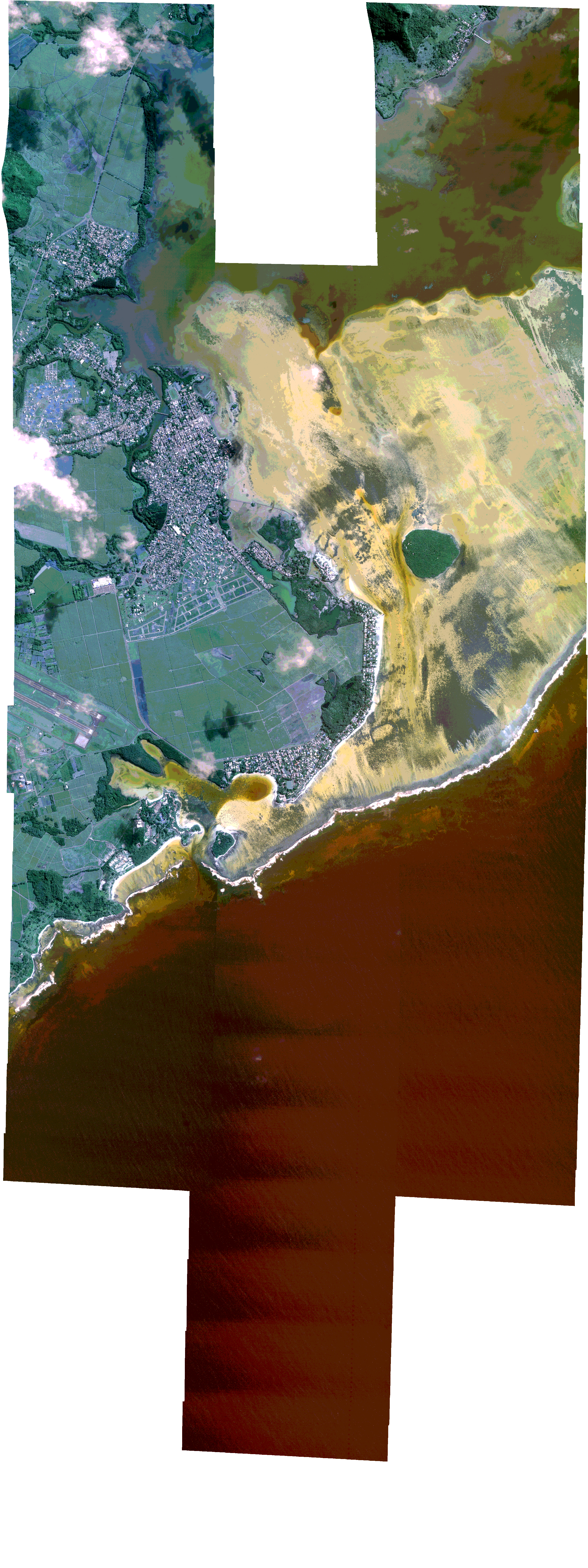
Path | E057 |
Row | S20 |
Start Date | 2021-06-01T06:14:45Z |
Stop Date | 2021-06-01T06:14:45Z |
Availability Time | 2021-06-01T06:14:45Z |
Platform Short Name | SkySat |
Instrument Short Name | SkySat Camera |
Sensor Type | OPTICAL |
Operational mode | CAMERA |
Resolution | 0.5 |
Orbit Number | 0 |
Orbit Direction | |
Illumination Azimuth Angle | 34.3 |
Illumination Elevation Angle | 39.4 |
Across Track Incidence Angle | 17.4 |
Footprint | -20.508463566 57.7292091276 -20.5084720152 57.7294016058 -20.5011967657 57.7294609967 -20.5012015258 57.7295743517 -20.4939396304 57.7296344595 -20.4939451389 57.7297718537 -20.4888951011 57.7298137486 -20.4897706251 57.7491297742 -20.4825598016 57.7491922351 -20.4825677798 57.749375951 -20.475292201 57.7494392268 -20.475296598 57.7495451001 -20.4680312788 57.7496086573 -20.4680364507 57.7497391789 -20.4607996453 57.7498028572 -20.460802641 57.7498823795 -20.4535692163 57.7499461327 -20.453569475 57.7499533554 -20.4450515032 57.7500568089 -20.4450510964 57.7500453597 -20.4377129941 57.7501096151 -20.4377102782 57.7500271438 -20.4304051516 57.7500927735 -20.4304003291 57.749938128 -20.4231321512 57.7500024182 -20.4231269141 57.7498231276 -20.4158857574 57.7498864016 -20.4158813913 57.749725296 -20.4086124041 57.7497587162 -20.4086068662 57.7495398143 -20.4013146899 57.7496120321 -20.4013096571 57.7493902079 -20.3940071392 57.7494732714 -20.3940030625 57.7492714457 -20.3866912543 57.7493549766 -20.3866846692 57.7489903074 -20.3797136965 57.7490647823 -20.3797091792 57.7488994262 -20.3723719268 57.7489784096 -20.3723680339 57.748834843 -20.3650171963 57.7489174597 -20.3644644224 57.725831718 -20.3730242231 57.7266085318 -20.3730267369 57.7267085582 -20.3803372899 57.7266381317 -20.380341779 57.7268108928 -20.3877269763 57.7266437376 -20.387735994 57.726987261 -20.3911384988 57.7269540556 -20.3908840787 57.7099025705 -20.3865354633 57.709948859 -20.3865325212 57.709747985 -20.3793145594 57.7098247366 -20.3793118159 57.7096436515 -20.3720603878 57.7097329516 -20.372058488 57.7096234626 -20.3647524838 57.7096828629 -20.3644209862 57.6874227918 -20.3729948619 57.6872957325 -20.3729955827 57.6873408662 -20.3803182821 57.6867422842 -20.3803222786 57.6871298026 -20.3862003389 57.6870679156 -20.386199917 57.6870391097 -20.3866301445 57.6870633904 -20.3874444379 57.6870548171 -20.3874452531 57.6871093925 -20.3945523607 57.6875104949 -20.3945567307 57.6877309235 -20.401724088 57.6876811601 -20.401729566 57.6879379993 -20.4089000349 57.6877873302 -20.4089050267 57.6880019335 -20.4160804367 57.6879430934 -20.4160862534 57.6881739032 -20.4232501641 57.6881349511 -20.4232543491 57.688293189 -20.4303758154 57.6882130093 -20.4303807464 57.6883816069 -20.4358356217 57.6883291656 -20.4358035593 57.6877319923 -20.4446087255 57.6876940641 -20.4446392043 57.6884996984 -20.450556282 57.6884272627 -20.4505541122 57.6883732086 -20.4577011601 57.6883060462 -20.4576979923 57.6882310678 -20.4648501258 57.6881557106 -20.464844348 57.6880244413 -20.4720147073 57.6879409896 -20.4720109177 57.6878576264 -20.4790717329 57.6877492356 -20.4790637589 57.6875696246 -20.4875807813 57.687480847 -20.4884802629 57.7074961244 -20.4917559214 57.7074673321 -20.4917501538 57.7073281927 -20.4989709446 57.7072645992 -20.4989659164 57.7071485858 -20.5061235435 57.7070854237 -20.5061147144 57.7068902459 -20.5146533606 57.7068146112 -20.5156770775 57.7291521071 -20.508463566 57.7292091276 |
Scene Centre | -20.4400518986 57.7184259496 |
Size | 9466806679 |
Product type | SSC_DEF_CO |
Acquisition Type | NOMINAL |
Cloud-Cover Percentage | 0.01 |
Original Name | 20210601_061445_ssc12_u0001_SkySatCollect |
Bounding Box | -20.3644209862 57.6867422842 -20.5156770775 57.6867422842 -20.5156770775 57.7501096151 -20.3644209862 57.7501096151 |