Static Map Catalogue - Full Metadata Record
Collection SkySat
SkySat ESA Archive. More details.
SSC_OPER_SSC_DEF_CO_20210611T072135_S14-716_E040-332_01
Download Product | Browse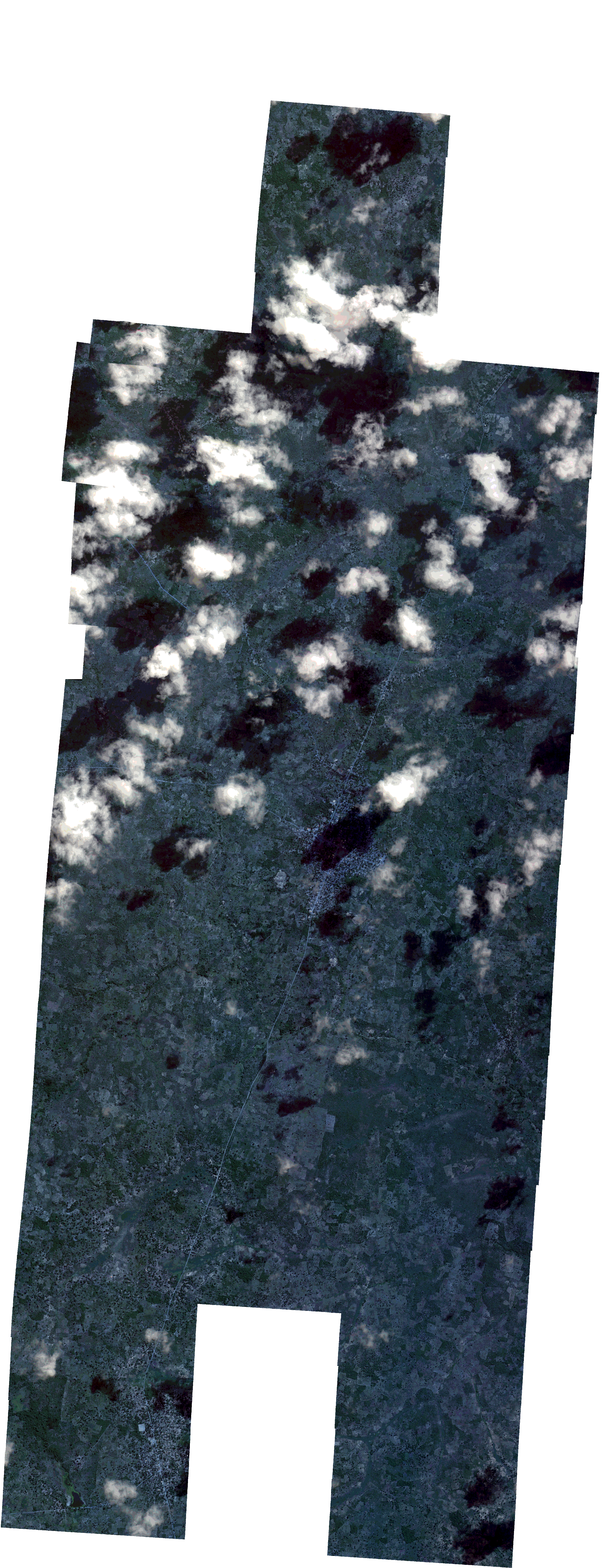
Path | E040 |
Row | S14 |
Start Date | 2021-06-11T07:21:35Z |
Stop Date | 2021-06-11T07:21:35Z |
Availability Time | 2021-06-11T07:21:35Z |
Platform Short Name | SkySat |
Instrument Short Name | SkySat Camera |
Sensor Type | OPTICAL |
Operational mode | CAMERA |
Resolution | 0.5 |
Orbit Number | 0 |
Orbit Direction | |
Illumination Azimuth Angle | 37.5 |
Illumination Elevation Angle | 42.6 |
Across Track Incidence Angle | 11.7 |
Footprint | -14.7896824136 40.3565830021 -14.7896857189 40.356638477 -14.7815245194 40.3571488331 -14.7815182347 40.3570426285 -14.7748327213 40.3574486205 -14.7748257883 40.3573329191 -14.7681686395 40.3577409287 -14.7681675099 40.3577222623 -14.7626722513 40.3580268516 -14.7626820143 40.3581832808 -14.7556723719 40.3586051729 -14.7556892756 40.3588722207 -14.7486987799 40.3592576433 -14.7487139697 40.3594958063 -14.741841794 40.359849478 -14.7418479008 40.3599454065 -14.7336561626 40.3603464236 -14.7336548208 40.3603251492 -14.726912451 40.3606763792 -14.7269106955 40.3606488007 -14.7214946685 40.3609778032 -14.7214999687 40.3610572653 -14.7145296373 40.3614761793 -14.7145453413 40.3617079046 -14.7075320305 40.362123209 -14.7075519724 40.3624095412 -14.6993489609 40.3628675384 -14.6993254001 40.3625205941 -14.6936691111 40.3631321973 -14.6936769255 40.3632467966 -14.6855541725 40.363681009 -14.6855527255 40.3636602038 -14.6803220556 40.3639457487 -14.6803401668 40.3641660599 -14.6733834888 40.3645484462 -14.6733962148 40.3647070674 -14.665162328 40.3651821284 -14.6637649139 40.3471531495 -14.6587526536 40.3474124886 -14.6587399903 40.3472767379 -14.6529669437 40.3476003816 -14.6529674449 40.3476073903 -14.6460319736 40.3480103494 -14.6460449676 40.3481867993 -14.6379334295 40.3486805441 -14.6364380924 40.3285009436 -14.6434049777 40.3280395573 -14.6433934065 40.3278798533 -14.6502212211 40.3274421669 -14.6502196278 40.3274197128 -14.6584016189 40.3270082196 -14.6584112766 40.3271479149 -14.6613892892 40.3269398006 -14.6599054664 40.3091518324 -14.6660681498 40.3087411702 -14.6658548048 40.3070756546 -14.6726485523 40.3065981588 -14.6726448487 40.306568641 -14.6807984709 40.3059924794 -14.680995789 40.3076029644 -14.6891303631 40.3070980135 -14.6891325946 40.3071309846 -14.6960549273 40.306764656 -14.6961720292 40.3085554172 -14.7020874886 40.3082078978 -14.7019482042 40.3060574688 -14.7089529443 40.3056196539 -14.708937742 40.30538721 -14.7158336274 40.3049871536 -14.715826682 40.3048803792 -14.7239825137 40.304451814 -14.7239854672 40.304496894 -14.7307592792 40.3041017264 -14.7307602058 40.3041160355 -14.7362871017 40.3037952506 -14.7362804985 40.303689175 -14.7432987629 40.3033001008 -14.7432833864 40.3030508169 -14.750335684 40.3026622909 -14.7503194639 40.3023971392 -14.7572597195 40.3019659866 -14.7572504283 40.3018120749 -14.7640548876 40.3014026459 -14.7640538059 40.3013844707 -14.772199222 40.3009576989 -14.7722059047 40.301069938 -14.7789194485 40.3007200763 -14.7789237132 40.3007926999 -14.7843939863 40.3004748063 -14.7843891599 40.3003902252 -14.7925341797 40.2999380131 -14.793708832 40.3202440317 -14.7868305673 40.3206069707 -14.7868339361 40.3206650135 -14.7786844399 40.3211485651 -14.7786785882 40.321047232 -14.7719562214 40.3214155822 -14.771949877 40.3213070805 -14.768572703 40.3215105877 -14.7694570463 40.3371678178 -14.7750735827 40.3368179692 -14.7750816731 40.3369500035 -14.7817601515 40.3365575059 -14.7817654651 40.3366456119 -14.7871641515 40.3363440208 -14.7871600908 40.3362750903 -14.795322213 40.3358121481 -14.7965315704 40.3561902394 -14.7896824136 40.3565830021 |
Scene Centre | -14.7164871132 40.3325600707 |
Size | 12245193239 |
Product type | SSC_DEF_CO |
Acquisition Type | NOMINAL |
Cloud-Cover Percentage | 0.13 |
Original Name | 20210611_072135_ssc3_u0001_SkySatCollect |
Bounding Box | -14.6364380924 40.2999380131 -14.7965315704 40.2999380131 -14.7965315704 40.3651821284 -14.6364380924 40.3651821284 |