Static Map Catalogue - Full Metadata Record
Collection SkySat
SkySat ESA Archive. More details.
SSC_OPER_SSC_DEF_CO_20210608T071754_S14-736_E040-330_01
Download Product | Browse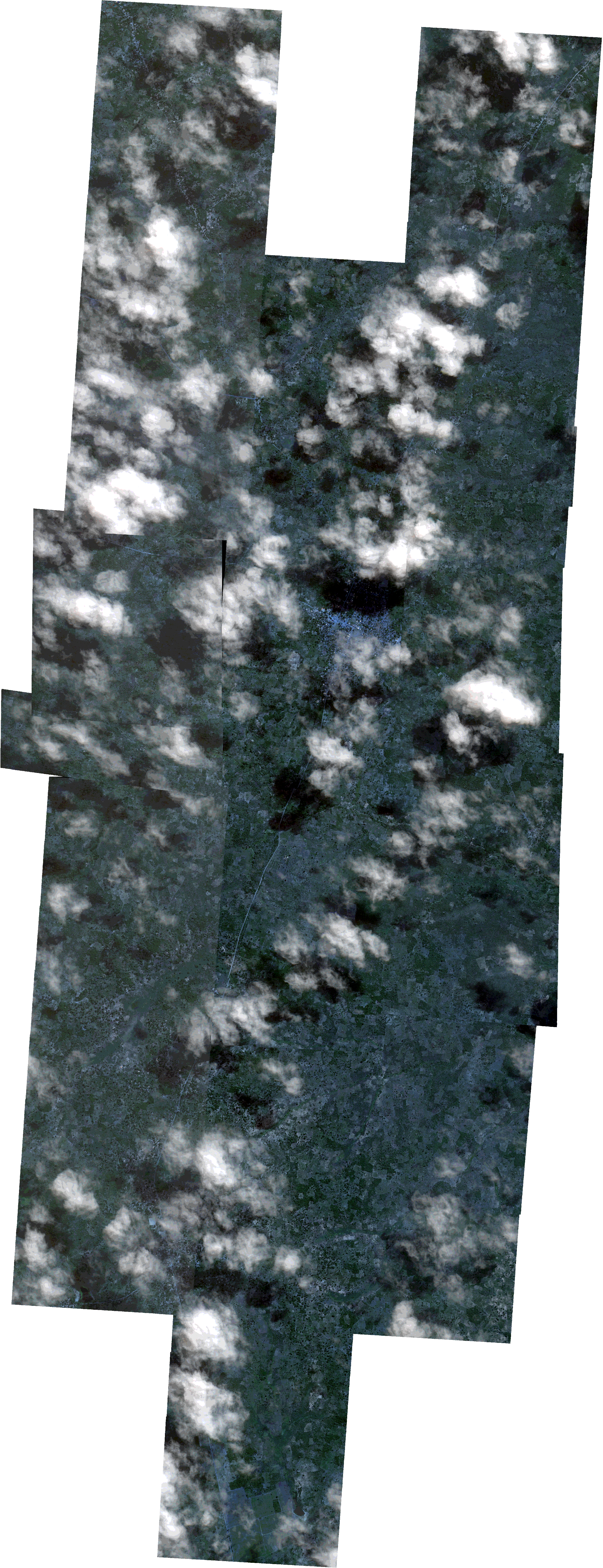
Path | E040 |
Row | S14 |
Start Date | 2021-06-08T07:17:54Z |
Stop Date | 2021-06-08T07:17:54Z |
Availability Time | 2021-06-08T07:17:54Z |
Platform Short Name | SkySat |
Instrument Short Name | SkySat Camera |
Sensor Type | OPTICAL |
Operational mode | CAMERA |
Resolution | 0.5 |
Orbit Number | 0 |
Orbit Direction | |
Illumination Azimuth Angle | 38.5 |
Illumination Elevation Angle | 42.3 |
Across Track Incidence Angle | 2.5 |
Footprint | -14.8111189582 40.3359645657 -14.8111218274 40.3360201018 -14.8043710536 40.336401062 -14.8043740138 40.336458398 -14.7976062067 40.3368427469 -14.7976104587 40.3369273149 -14.7934406654 40.3371504482 -14.7943549404 40.3541121281 -14.7876197424 40.3544733278 -14.7876227033 40.3545281893 -14.7808679605 40.3548993511 -14.7808789989 40.3551034071 -14.7740722607 40.3555750751 -14.7740753219 40.3556345057 -14.76722539 40.3561220993 -14.7672288553 40.356193012 -14.7611499005 40.3566200148 -14.7613137164 40.3589060971 -14.7544543862 40.3589081219 -14.7544592871 40.3589784871 -14.7475500991 40.3589974753 -14.7475550882 40.3590736852 -14.7408410222 40.3590821554 -14.7408489591 40.359184703 -14.7327205227 40.3593566993 -14.7326845741 40.358903572 -14.7270313889 40.3589379896 -14.7270354231 40.3589992301 -14.7202486993 40.3590419448 -14.7202524981 40.359099637 -14.7133271097 40.3591513843 -14.7133394511 40.359380749 -14.7069330902 40.359726493 -14.7069707546 40.360216923 -14.6985664344 40.3605888313 -14.6985554297 40.3603561612 -14.6930694728 40.3606667573 -14.6930745051 40.3607614746 -14.6862704856 40.3610983932 -14.6862747681 40.3611815773 -14.67949509 40.3615165614 -14.6794992887 40.3615981403 -14.672645456 40.361954551 -14.6726529522 40.3621047507 -14.6659017222 40.3624787629 -14.6659067812 40.3625774512 -14.6579284293 40.363023362 -14.6569081134 40.3434954888 -14.6636652285 40.3430797309 -14.6636607141 40.342992235 -14.6716747745 40.3425052193 -14.6716751185 40.3425121128 -14.6772752573 40.342205456 -14.6772712695 40.3421274725 -14.6815622525 40.3418887995 -14.6808266535 40.3269763209 -14.6768884509 40.3272203556 -14.6768908914 40.3272664272 -14.6701681973 40.3276900342 -14.6701788802 40.3279160466 -14.6633023725 40.3282269161 -14.6633050859 40.3282822069 -14.6552904632 40.3286626378 -14.6543184289 40.3092060369 -14.6610912841 40.3087557688 -14.6610887898 40.3087051951 -14.6692452138 40.3081630871 -14.6692476629 40.3082149006 -14.6746353047 40.3078546329 -14.6746330966 40.3078128086 -14.6813978415 40.3073721851 -14.6813956052 40.3073303724 -14.6894110232 40.3068183364 -14.6894126366 40.3068484145 -14.6948836239 40.306512293 -14.6948814407 40.3064721801 -14.7016564359 40.3061036829 -14.7016436525 40.3058734233 -14.7076586927 40.3054934761 -14.7074243003 40.3021880431 -14.714208612 40.3021764013 -14.714207264 40.3021576749 -14.7210161449 40.3021396695 -14.721014835 40.3021215455 -14.7267023311 40.3021176491 -14.7262695645 40.2988660824 -14.7345522521 40.2988019961 -14.735576885 40.3069602931 -14.7354199423 40.3040466635 -14.7421303353 40.3036238413 -14.7421279936 40.3035818239 -14.7488984189 40.3031663738 -14.7488960539 40.3031212058 -14.7556036986 40.3026715811 -14.7556008354 40.3026196001 -14.7623377946 40.3021944911 -14.7623355817 40.3021551084 -14.7691003671 40.3017330372 -14.76909855 40.3017005962 -14.7758635846 40.3012829832 -14.7758620254 40.3012551681 -14.7826196379 40.300849852 -14.7826178766 40.3008182874 -14.7905859422 40.3003365768 -14.7915523593 40.3177049897 -14.7954323792 40.3174917324 -14.7954284632 40.3174163126 -14.8021809095 40.3170606748 -14.802177721 40.3169989083 -14.8089241611 40.3166366768 -14.8089205411 40.3165665742 -14.8168651977 40.3161385611 -14.817875105 40.3355940761 -14.8111189582 40.3359645657 |
Scene Centre | -14.7360989805 40.330912679 |
Size | 12817901272 |
Product type | SSC_DEF_CO |
Acquisition Type | NOMINAL |
Cloud-Cover Percentage | 0.24 |
Original Name | 20210608_071754_ssc2_u0001_SkySatCollect |
Bounding Box | -14.6543184289 40.2988019961 -14.817875105 40.2988019961 -14.817875105 40.363023362 -14.6543184289 40.363023362 |