Static Map Catalogue - Full Metadata Record
Collection SkySat
SkySat ESA Archive. More details.
SSC_OPER_SSC_DEF_CO_20210605T074926_S14-799_E040-340_01
Download Product | Browse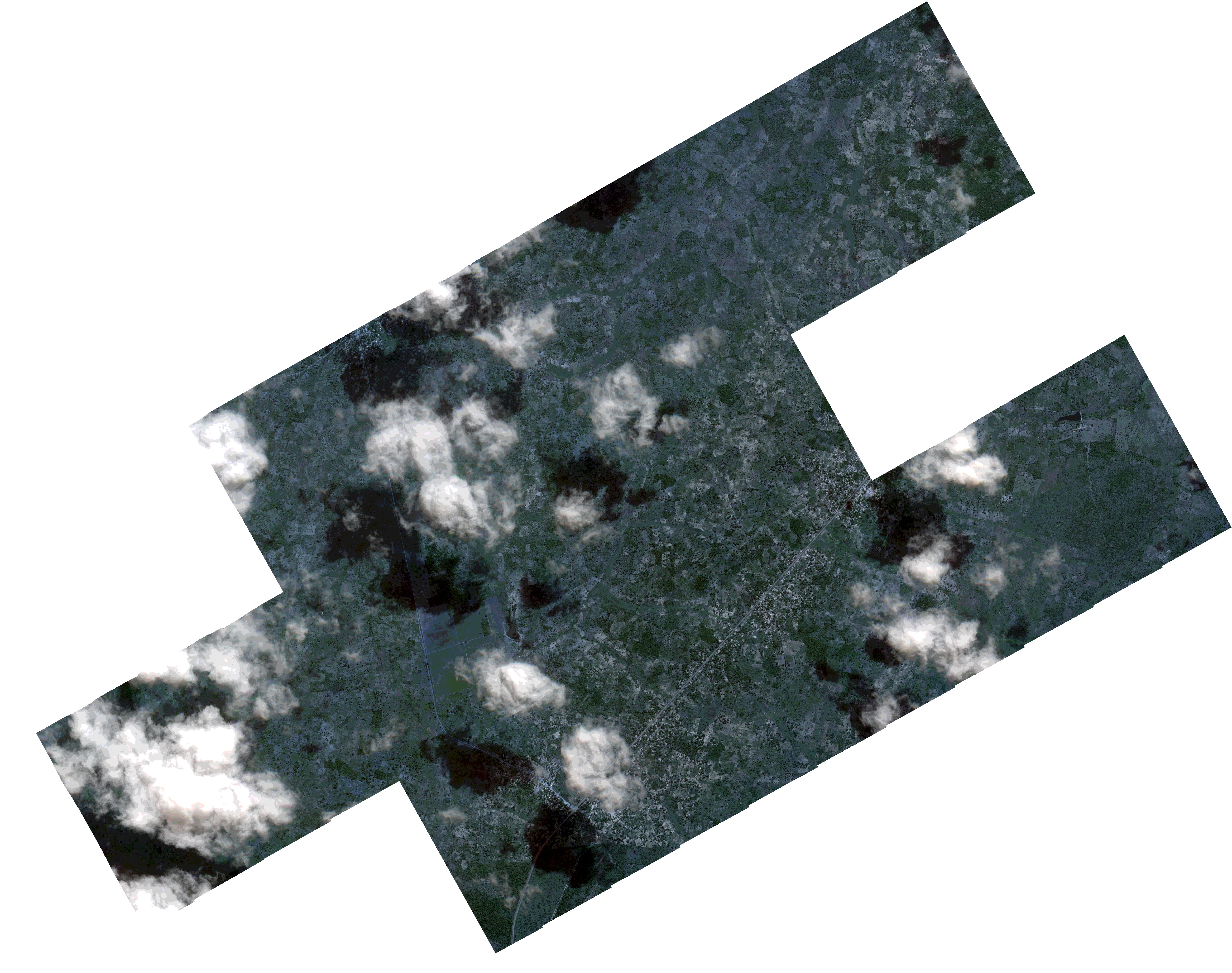
Path | E040 |
Row | S14 |
Start Date | 2021-06-05T07:49:26Z |
Stop Date | 2021-06-05T07:49:26Z |
Availability Time | 2021-06-05T07:49:26Z |
Platform Short Name | SkySat |
Instrument Short Name | SkySat Camera |
Sensor Type | OPTICAL |
Operational mode | CAMERA |
Resolution | 0.5 |
Orbit Number | 0 |
Orbit Direction | |
Illumination Azimuth Angle | 30.3 |
Illumination Elevation Angle | 46.9 |
Across Track Incidence Angle | 6 |
Footprint | -14.8370661064 40.3340914019 -14.8337317412 40.340214298 -14.8335761822 40.3401235603 -14.8302502961 40.3462376381 -14.8301137906 40.3461581425 -14.8267848923 40.3522709872 -14.8266560568 40.3521959961 -14.8233164612 40.3583069758 -14.823177297 40.3582261844 -14.81985495 40.3643382514 -14.8197381489 40.3642704508 -14.8164007934 40.3703966857 -14.8162747012 40.3703235578 -14.8129412311 40.3764595727 -14.8127826371 40.3763676073 -14.8094595584 40.3825122872 -14.809347274 40.3824471034 -14.8060200741 40.3885840769 -14.8058924408 40.3885099533 -14.8025620147 40.3946116396 -14.7859603214 40.3849759679 -14.7899006209 40.3777793593 -14.7900226565 40.3778503028 -14.7933510769 40.3717368163 -14.7934708257 40.3718063355 -14.7968031648 40.3656735753 -14.7969498047 40.3657586367 -14.7985668005 40.362788882 -14.7862934092 40.3556255832 -14.7844401861 40.3590063834 -14.7843234745 40.3589382683 -14.7809660867 40.3650586868 -14.7808691282 40.3650019324 -14.7775126477 40.3711126108 -14.777413708 40.371054491 -14.7740608983 40.3771418115 -14.7575307887 40.3674186884 -14.761428622 40.3602470982 -14.7615315106 40.3603074409 -14.764856083 40.3542154932 -14.7649555748 40.3542736434 -14.7683071278 40.3481631097 -14.7684227921 40.3482305305 -14.7717718349 40.3421021178 -14.7718568929 40.3421517811 -14.775208094 40.3360074556 -14.7752885518 40.3360544858 -14.7786388131 40.3299252134 -14.7787369869 40.3299826176 -14.7820598689 40.3238528022 -14.7821542454 40.3239079887 -14.7854916623 40.317790056 -14.7855916832 40.3178485351 -14.788907227 40.311696713 -14.7890153657 40.3117600081 -14.7923306495 40.3056086572 -14.7924162378 40.3056587386 -14.7957528933 40.2995224853 -14.8101505079 40.3079344814 -14.8120143431 40.3045149322 -14.8120464211 40.3045338079 -14.8153459543 40.298162959 -14.8156405596 40.2983354513 -14.8187864643 40.292408411 -14.8189178485 40.2924857502 -14.822251596 40.2862180414 -14.8392757559 40.2961843231 -14.8351762068 40.3034492888 -14.8350311022 40.3033636309 -14.8315368806 40.3095362742 -14.8314849751 40.3095052779 -14.8281925864 40.315446845 -14.8280416372 40.3153582263 -14.8264047736 40.3183638909 -14.8411121553 40.3269388429 -14.8371953166 40.3341668129 -14.8370661064 40.3340914019 |
Scene Centre | -14.7993278023 40.3404148405 |
Size | 7027768237 |
Product type | SSC_DEF_CO |
Acquisition Type | NOMINAL |
Cloud-Cover Percentage | 0.17 |
Original Name | 20210605_074926_ssc1_u0002_SkySatCollect |
Bounding Box | -14.7575307887 40.2862180414 -14.8411121553 40.2862180414 -14.8411121553 40.3946116396 -14.7575307887 40.3946116396 |