Static Map Catalogue - Full Metadata Record
Collection SkySat
SkySat ESA Archive. More details.
SSC_OPER_SSC_DEF_CO_20210602T102050_S14-801_E040-336_01
Download Product | Browse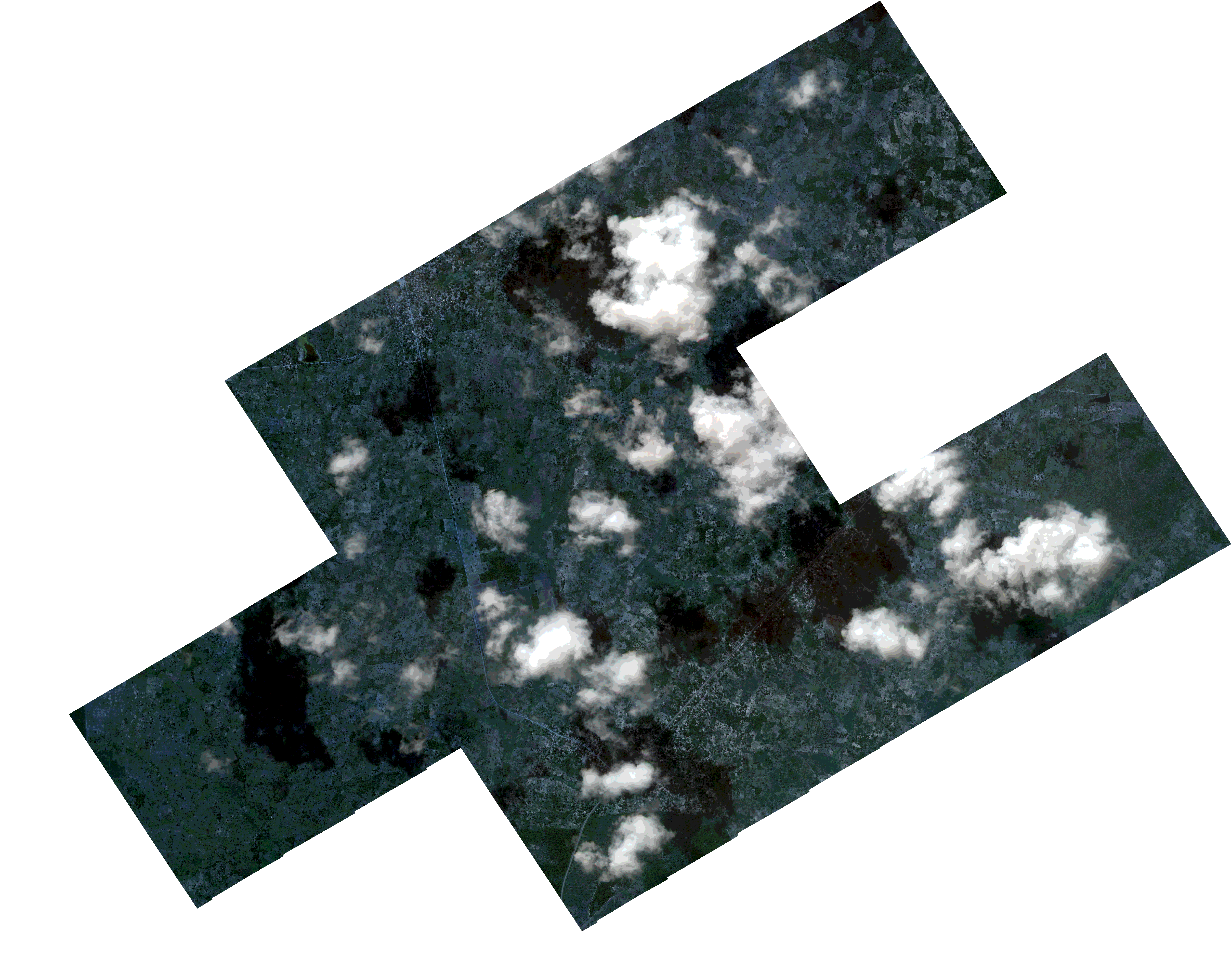
Path | E040 |
Row | S14 |
Start Date | 2021-06-02T10:20:50Z |
Stop Date | 2021-06-02T10:20:50Z |
Availability Time | 2021-06-02T10:20:50Z |
Platform Short Name | SkySat |
Instrument Short Name | SkySat Camera |
Sensor Type | OPTICAL |
Operational mode | CAMERA |
Resolution | 0.5 |
Orbit Number | 0 |
Orbit Direction | |
Illumination Azimuth Angle | 336.6 |
Illumination Elevation Angle | 49.8 |
Across Track Incidence Angle | 17.5 |
Footprint | -14.8397592908 40.3347245392 -14.8360237041 40.3412193611 -14.8358608659 40.3411072222 -14.8321151165 40.3476026196 -14.83196875 40.3475024237 -14.8281985352 40.3540664681 -14.8280580744 40.3539703556 -14.8243077263 40.3604483112 -14.8242440711 40.3604050838 -14.821222966 40.3656452579 -14.8176015379 40.3719598956 -14.8176375101 40.3719843251 -14.8139611105 40.3783247209 -14.8140158454 40.3783618441 -14.8103535906 40.3847336796 -14.8104157078 40.3847759627 -14.8060357076 40.3923914244 -14.7889999149 40.3807825686 -14.7926684489 40.3744197766 -14.7925831197 40.3743616488 -14.7962629651 40.3680279315 -14.7961919403 40.3679797454 -14.7998569071 40.3616414538 -14.7998169271 40.361614327 -14.8027018582 40.3565850885 -14.7888646451 40.3471099946 -14.7865193164 40.3512180861 -14.7865799303 40.3512596186 -14.7829137905 40.3576250458 -14.7830017263 40.3576852823 -14.7793232493 40.3640419614 -14.7794307105 40.3641154452 -14.7750549138 40.3717703517 -14.7579069347 40.3600055857 -14.7615730529 40.3536321853 -14.7614538796 40.3535507595 -14.7651233533 40.3471556204 -14.7650212379 40.3470856941 -14.7686727526 40.3407251462 -14.7685984262 40.3406742309 -14.7722721174 40.3343265859 -14.7722157343 40.3342880851 -14.7765908091 40.3266453512 -14.7766019046 40.3266529362 -14.7802950053 40.3202214058 -14.7803691905 40.3202719014 -14.7841051022 40.3137286948 -14.7842174396 40.3138051088 -14.7879297308 40.307129263 -14.7880253109 40.3071948125 -14.7917666555 40.3006644354 -14.7918228148 40.3007027352 -14.795567925 40.2942225821 -14.810835133 40.3046102014 -14.8136569161 40.2996684501 -14.8137582289 40.2997382335 -14.8175431091 40.293162996 -14.8176292415 40.2932222279 -14.8214108078 40.2867001965 -14.8214707896 40.286741482 -14.8252284338 40.2802239887 -14.8424628486 40.2920666655 -14.8380512696 40.2997151683 -14.8379646099 40.2996555852 -14.8341928963 40.3061465374 -14.8340801421 40.3060689905 -14.830334389 40.3126656599 -14.8301895404 40.312565737 -14.8281721185 40.3161123478 -14.8442215548 40.3270899902 -14.8398882278 40.3348132315 -14.8397592908 40.3347245392 |
Scene Centre | -14.8010710242 40.3363077066 |
Size | 6529288199 |
Product type | SSC_DEF_CO |
Acquisition Type | NOMINAL |
Cloud-Cover Percentage | 0.15 |
Original Name | 20210602_102050_ssc8_u0002_SkySatCollect |
Bounding Box | -14.7579069347 40.2802239887 -14.8442215548 40.2802239887 -14.8442215548 40.3923914244 -14.7579069347 40.3923914244 |