Static Map Catalogue - Full Metadata Record
Collection SkySat
SkySat ESA Archive. More details.
SSC_OPER_SSC_DEF_CO_20210531T072238_S14-732_E040-457_01
Download Product | Browse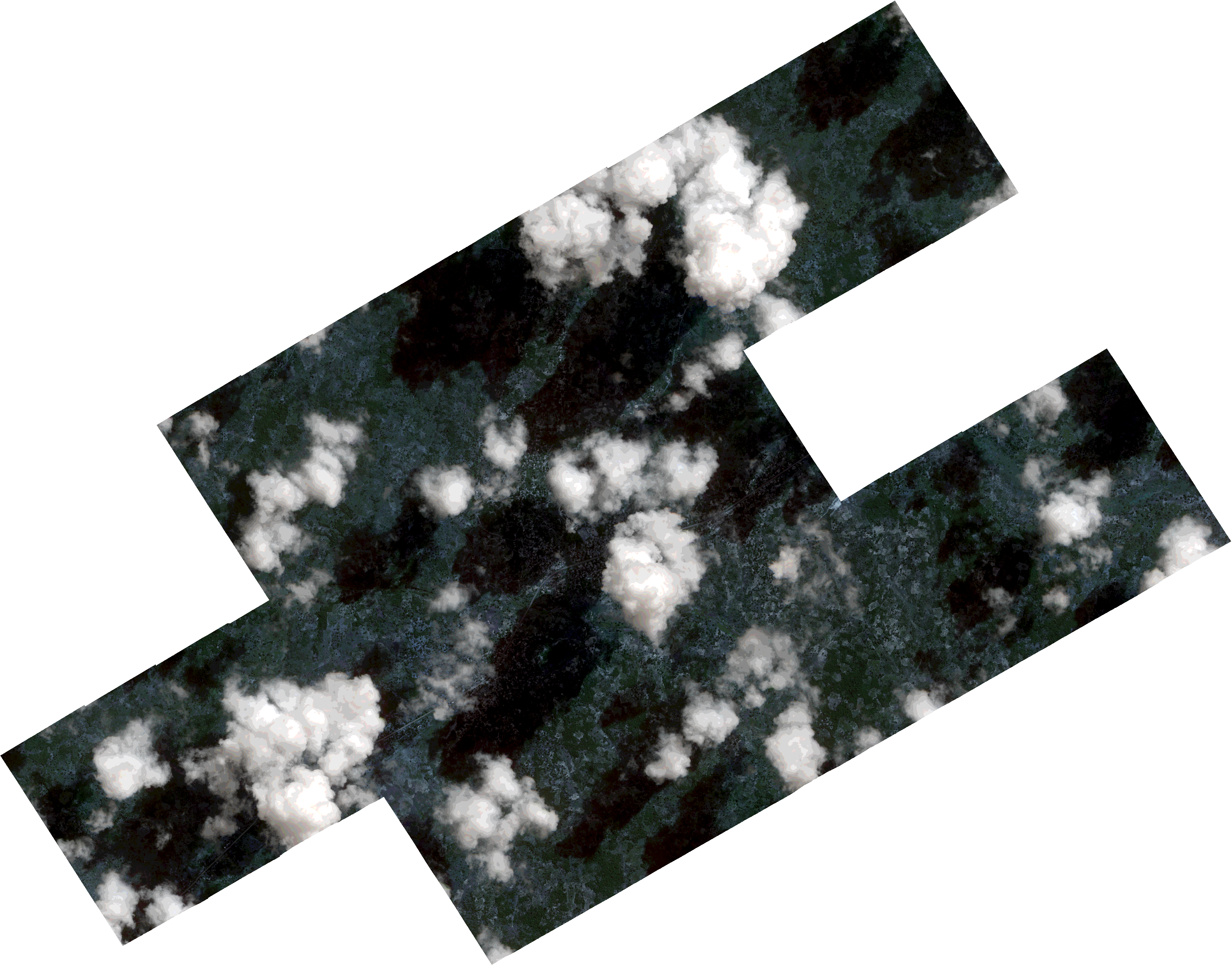
Path | E040 |
Row | S14 |
Start Date | 2021-05-31T07:22:38Z |
Stop Date | 2021-05-31T07:22:38Z |
Availability Time | 2021-05-31T07:22:38Z |
Platform Short Name | SkySat |
Instrument Short Name | SkySat Camera |
Sensor Type | OPTICAL |
Operational mode | CAMERA |
Resolution | 0.5 |
Orbit Number | 0 |
Orbit Direction | |
Illumination Azimuth Angle | 37.7 |
Illumination Elevation Angle | 44 |
Across Track Incidence Angle | 15.2 |
Footprint | -14.7709397195 40.4531104887 -14.771020736 40.4531651288 -14.767318883 40.4595258333 -14.767406814 40.4595855061 -14.763716865 40.4659019632 -14.7637973634 40.4659562179 -14.7601052852 40.4723187755 -14.7601985504 40.4723818037 -14.7562635813 40.4790612879 -14.7563684816 40.4791322331 -14.752693096 40.4854137154 -14.7527952369 40.4854830438 -14.749115477 40.4917141659 -14.7492141405 40.4917812475 -14.7455266154 40.4980504647 -14.7456010277 40.4981007124 -14.7419118302 40.5044081159 -14.7419953861 40.5044644414 -14.7375431136 40.5120872641 -14.7208359399 40.5008483275 -14.724535645 40.4944905489 -14.7244522941 40.4944343962 -14.7281544604 40.4880848965 -14.7280758204 40.4880317954 -14.7317703768 40.4816856979 -14.7316613842 40.4816115581 -14.7342342694 40.4772629313 -14.7214231721 40.468705856 -14.7191653263 40.4725198374 -14.7192885905 40.4726018945 -14.7156001546 40.4789768413 -14.7156431641 40.4790054094 -14.71196473 40.4853617702 -14.7120486454 40.4854178692 -14.7076138392 40.4930426595 -14.6909133457 40.4818355694 -14.6946045472 40.4755329028 -14.694520322 40.4754765148 -14.6982295418 40.4691454351 -14.6981801361 40.4691125203 -14.7026031342 40.4614943733 -14.7026268116 40.4615101353 -14.7055481114 40.4564379955 -14.7054207076 40.4563523104 -14.7093167943 40.4496041869 -14.7091715249 40.4495067229 -14.7128724882 40.4431984409 -14.7127802336 40.4431370251 -14.7164775652 40.4367981879 -14.7163949272 40.436742863 -14.7200955845 40.4303727828 -14.720009468 40.4303147248 -14.7237097516 40.4240442083 -14.7236213944 40.4239848613 -14.7279686131 40.4165362618 -14.7430336931 40.4266446609 -14.7451839437 40.4229937347 -14.7450743197 40.4229201596 -14.7487598812 40.4166312551 -14.7486564033 40.4165614825 -14.7523023696 40.4103518872 -14.7521854833 40.4102738696 -14.7566085279 40.4028352197 -14.7732655035 40.4139994464 -14.7696215119 40.420295321 -14.7696864478 40.4203390819 -14.7660163742 40.4266072357 -14.7660585073 40.4266355143 -14.7623954514 40.4329196932 -14.762489456 40.432982706 -14.7601494065 40.4370066459 -14.7746274195 40.4467402624 -14.7709397195 40.4531104887 |
Scene Centre | -14.7327767872 40.4574612419 |
Size | 7152396382 |
Product type | SSC_DEF_CO |
Acquisition Type | NOMINAL |
Cloud-Cover Percentage | 0.28 |
Original Name | 20210531_072238_ssc2_u0002_SkySatCollect |
Bounding Box | -14.6909133457 40.4028352197 -14.7746274195 40.4028352197 -14.7746274195 40.5120872641 -14.6909133457 40.5120872641 |