Static Map Catalogue - Full Metadata Record
Collection SkySat
SkySat ESA Archive. More details.
SSC_OPER_SSC_DEF_CO_20210526T071850_S14-747_E040-431_01
Download Product | Browse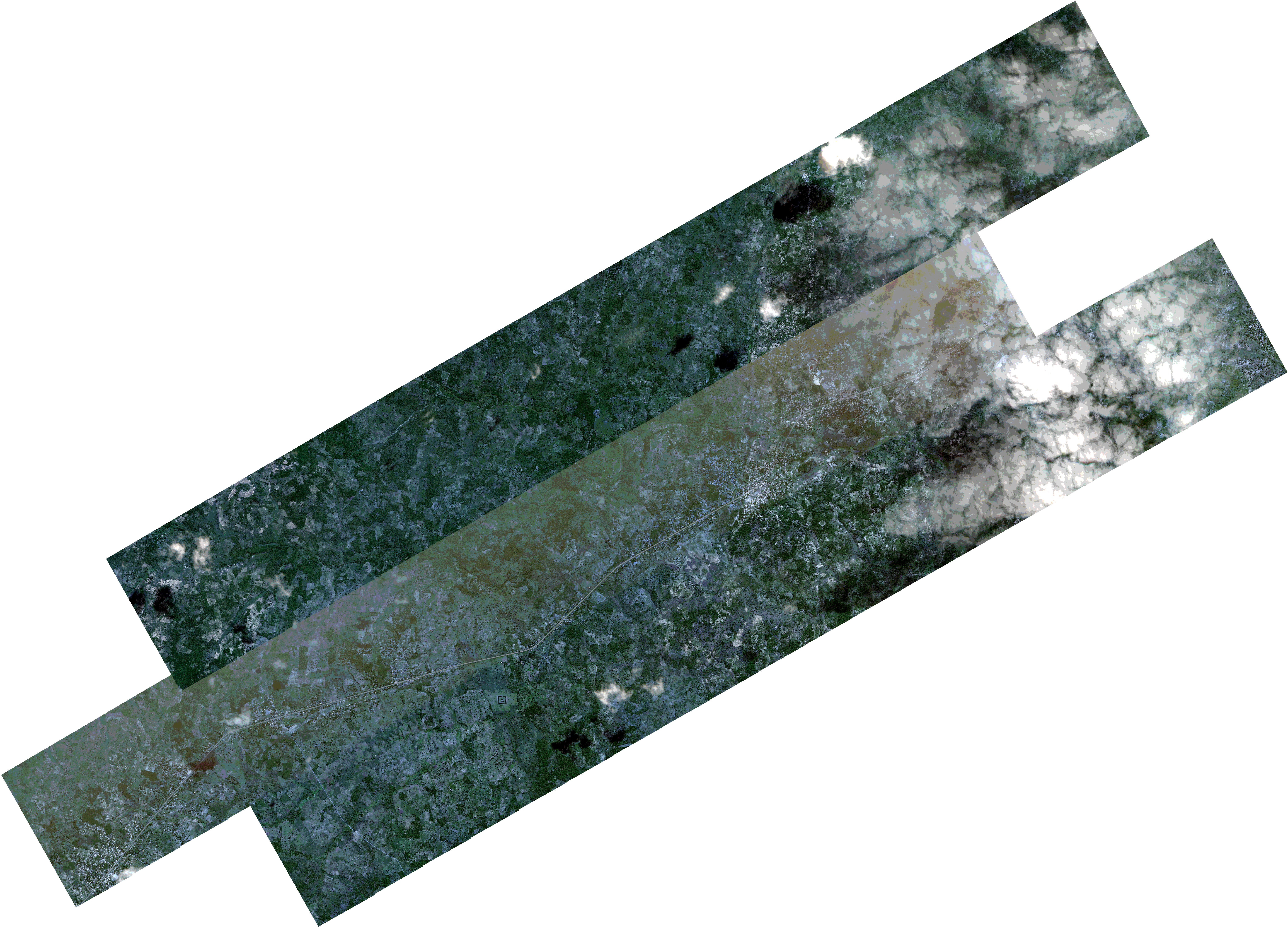
Path | E040 |
Row | S14 |
Start Date | 2021-05-26T07:18:50Z |
Stop Date | 2021-05-26T07:18:50Z |
Availability Time | 2021-05-26T07:18:50Z |
Platform Short Name | SkySat |
Instrument Short Name | SkySat Camera |
Sensor Type | OPTICAL |
Operational mode | CAMERA |
Resolution | 0.5 |
Orbit Number | 0 |
Orbit Direction | |
Illumination Azimuth Angle | 39.2 |
Illumination Elevation Angle | 44.1 |
Across Track Incidence Angle | 2.3 |
Footprint | -14.801691804 40.3964529156 -14.7981892532 40.4027045877 -14.7981039371 40.4026542419 -14.7946183896 40.4088931181 -14.7945409089 40.4088474452 -14.7910606782 40.4150784633 -14.7909673456 40.4150234865 -14.7875100274 40.4212662539 -14.7874490778 40.4212303262 -14.783977643 40.427450865 -14.7839305618 40.4274231474 -14.7804571966 40.4336431738 -14.7804200908 40.4336213525 -14.7769531119 40.4398326078 -14.7769070093 40.4398055049 -14.7734316629 40.4460184821 -14.7733875015 40.4459925038 -14.7699199614 40.4521981082 -14.7698808924 40.4521751541 -14.7664169134 40.45837917 -14.7663877665 40.458362071 -14.7629172014 40.4645689052 -14.7628903698 40.4645531616 -14.7594181725 40.4707592576 -14.7593993407 40.470748222 -14.7559246717 40.4769464939 -14.7559148203 40.4769407256 -14.7531061676 40.4819514217 -14.7531220148 40.4819606776 -14.7496674629 40.4881264802 -14.7496878824 40.4881384043 -14.7462656839 40.4942913939 -14.7462931456 40.4943074163 -14.7428600695 40.5004756058 -14.7428912342 40.500493803 -14.7392272727 40.507084333 -14.7392638509 40.507105731 -14.7351590408 40.5144860217 -14.7181695453 40.5045300518 -14.7218252585 40.4979269574 -14.7218127997 40.4979196583 -14.7252243572 40.4917588983 -14.7252005019 40.4917449598 -14.7286148169 40.4855785303 -14.7286000274 40.4855698911 -14.7307430199 40.4817075743 -14.7177204579 40.4740913209 -14.7158740194 40.477424182 -14.7158687671 40.4774211297 -14.7124828637 40.4835714107 -14.7124828077 40.4835713784 -14.7095099901 40.4889726487 -14.7095106781 40.4889730439 -14.7092070682 40.4895230233 -14.7090841647 40.489746325 -14.7090838857 40.4897461644 -14.7054244064 40.4963751912 -14.6882936211 40.4865425839 -14.6923950232 40.4791415414 -14.692410129 40.4791502184 -14.6960846713 40.47253123 -14.6960961379 40.4725378543 -14.6995151686 40.4663549412 -14.6995252642 40.4663608031 -14.7029246264 40.4601855464 -14.7029888712 40.4602229516 -14.7064386559 40.454033959 -14.7064678064 40.4540509868 -14.7099089344 40.4478561949 -14.7099546611 40.4478829054 -14.7134079271 40.4416691058 -14.7134638514 40.4417018256 -14.7169107154 40.4354894984 -14.716968957 40.4355235187 -14.7204186438 40.4292977183 -14.7204784513 40.4293326677 -14.7239302988 40.4230996402 -14.7239984493 40.4231394861 -14.7274423334 40.4169118111 -14.7275145068 40.4169539933 -14.7309591284 40.410727444 -14.7310293823 40.41076849 -14.7344698395 40.4045346598 -14.7345371118 40.4045739738 -14.7379798789 40.3983439958 -14.7380485039 40.3983841181 -14.7415038681 40.3921450673 -14.7415873823 40.3921939149 -14.7450425703 40.3859542733 -14.7451323246 40.3860067953 -14.7485913874 40.3797568239 -14.7486888116 40.3798139021 -14.7521495294 40.3735592058 -14.7522511037 40.3736187402 -14.755718393 40.3673490425 -14.7558244501 40.3674112595 -14.7592878009 40.3611473376 -14.7740067361 40.3697807826 -14.7759551833 40.3662857153 -14.7760349206 40.366332643 -14.779522359 40.360091656 -14.779597483 40.360135913 -14.7830860099 40.3539004095 -14.7831774614 40.3539542559 -14.7866634048 40.3477050603 -14.803615079 40.3576790451 -14.7995277903 40.3650192164 -14.7994303609 40.3649618605 -14.7959438703 40.3712138932 -14.7958552829 40.3711617316 -14.7923739559 40.3774052515 -14.7922924346 40.3773572675 -14.7906956066 40.3802202606 -14.8058844668 40.3891609459 -14.8017822303 40.3965062006 -14.801691804 40.3964529156 |
Scene Centre | -14.7471039826 40.431095541 |
Size | 12237881057 |
Product type | SSC_DEF_CO |
Acquisition Type | NOMINAL |
Cloud-Cover Percentage | 0.1 |
Original Name | 20210526_071850_ssc13_u0001_SkySatCollect |
Bounding Box | -14.6882936211 40.3477050603 -14.8058844668 40.3477050603 -14.8058844668 40.5144860217 -14.6882936211 40.5144860217 |