Static Map Catalogue - Full Metadata Record
Collection SkySat
SkySat ESA Archive. More details.
SSC_OPER_SSC_DEF_CO_20210517T102644_S14-798_E040-340_01
Download Product | Browse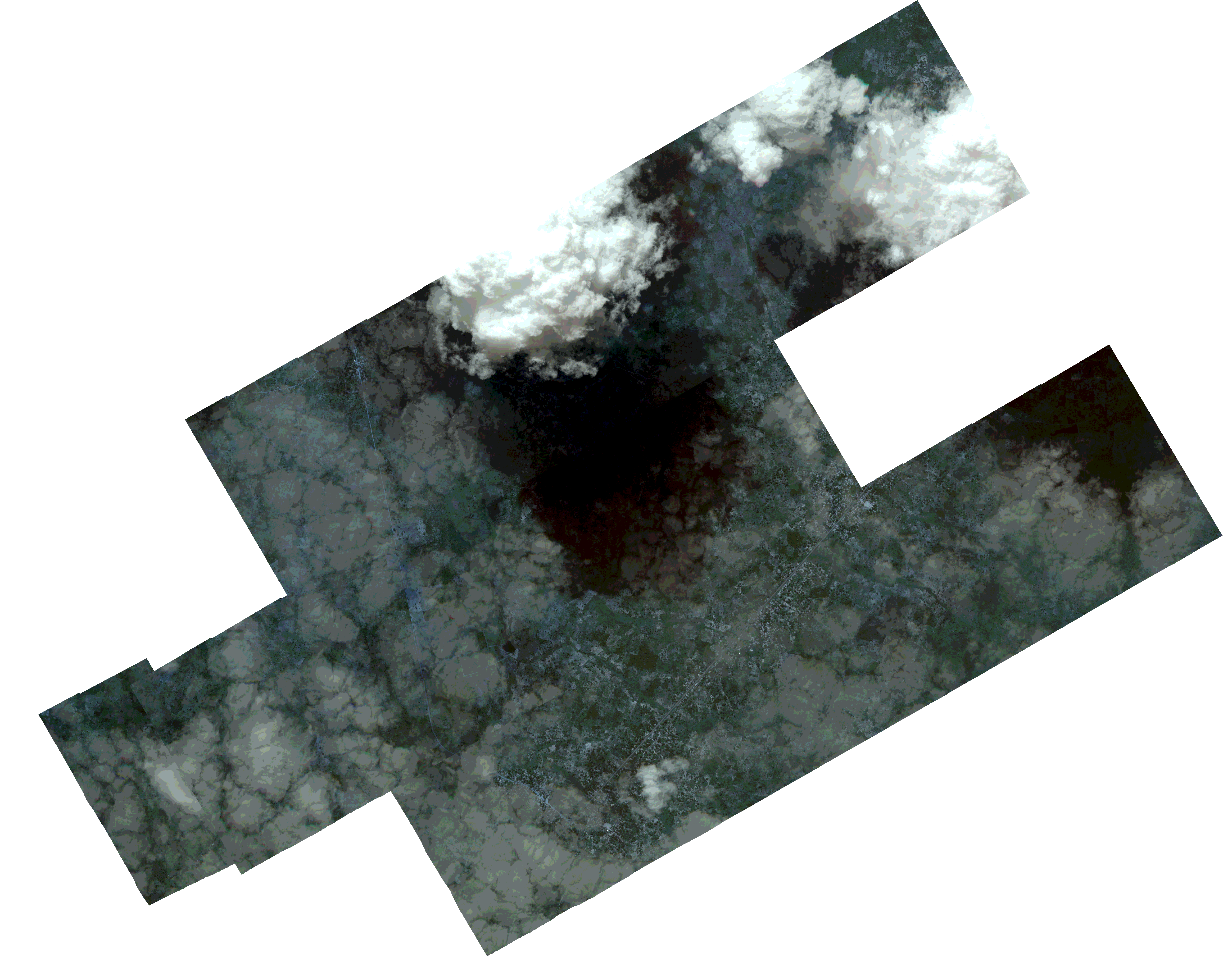
Path | E040 |
Row | S14 |
Start Date | 2021-05-17T10:26:44Z |
Stop Date | 2021-05-17T10:26:44Z |
Availability Time | 2021-05-17T10:26:44Z |
Platform Short Name | SkySat |
Instrument Short Name | SkySat Camera |
Sensor Type | OPTICAL |
Operational mode | CAMERA |
Resolution | 0.5 |
Orbit Number | 0 |
Orbit Direction | |
Illumination Azimuth Angle | 332.2 |
Illumination Elevation Angle | 51.5 |
Across Track Incidence Angle | 3.9 |
Footprint | -14.8331284175 40.302482387 -14.833224443 40.3025405305 -14.8307252908 40.3074242599 -14.8317417436 40.3080493221 -14.8283086313 40.3140617299 -14.828405518 40.3141212344 -14.8264438276 40.3175299036 -14.8405100468 40.3262004897 -14.8369733266 40.3323536645 -14.8370758324 40.3324168756 -14.8335681404 40.3385006847 -14.8336682967 40.3385622996 -14.8301902343 40.3445579162 -14.830269372 40.344606573 -14.8267856237 40.3506028024 -14.826861821 40.3506496805 -14.8233664439 40.3566663994 -14.8234391497 40.3567113114 -14.8199437199 40.3627152747 -14.8200139922 40.3627587153 -14.8165133966 40.368769056 -14.8165775677 40.3688087395 -14.8130823977 40.3748060322 -14.8131446202 40.3748445683 -14.8096580238 40.380817257 -14.8097149019 40.3808524375 -14.8062435639 40.3868222238 -14.806297863 40.386855777 -14.8021832865 40.3939539699 -14.785824266 40.3838480394 -14.7892983592 40.3778848335 -14.7892418885 40.3778499627 -14.7927161563 40.3718734041 -14.7926545418 40.3718353155 -14.7961484341 40.3658451214 -14.7960866023 40.3658068506 -14.7982122001 40.3621596811 -14.7857746059 40.3544923412 -14.7839215544 40.3577174305 -14.7839550773 40.3577377807 -14.7798830983 40.3648781043 -14.779860824 40.3648645711 -14.7764068962 40.3708661062 -14.7763987099 40.370861132 -14.7729840737 40.3768434988 -14.756534004 40.3668588104 -14.7599356719 40.3608576904 -14.7599025755 40.36083758 -14.7639624832 40.3536595141 -14.7639839187 40.3536726311 -14.7667866766 40.3488267837 -14.7667481013 40.3488033454 -14.7701854628 40.3428076448 -14.7701438443 40.3427824673 -14.7742073521 40.3356855634 -14.774317537 40.3357518272 -14.7772284307 40.3307328185 -14.7771954679 40.3307126337 -14.781259863 40.3236108661 -14.7813145667 40.323644173 -14.7840971011 40.3186978024 -14.7840262046 40.3186543138 -14.7874125414 40.312639273 -14.7873254973 40.3125861542 -14.7907155728 40.3065434657 -14.790625275 40.3064885721 -14.7947225395 40.2992021912 -14.8096540553 40.3082497963 -14.8114381219 40.3051828866 -14.8113486294 40.3051278728 -14.8142165431 40.3001842572 -14.8131130134 40.2995145236 -14.8161983565 40.2936753295 -14.8160949075 40.2936126875 -14.8197413684 40.286703777 -14.8361339787 40.2966029603 -14.8331284175 40.302482387 |
Scene Centre | -14.7985282225 40.3403288734 |
Size | 6726687052 |
Product type | SSC_DEF_CO |
Acquisition Type | NOMINAL |
Cloud-Cover Percentage | 0.34 |
Original Name | 20210517_102644_ssc7_u0002_SkySatCollect |
Bounding Box | -14.756534004 40.286703777 -14.8405100468 40.286703777 -14.8405100468 40.3939539699 -14.756534004 40.3939539699 |