Static Map Catalogue - Full Metadata Record
Collection SkySat
SkySat ESA Archive. More details.
SSC_OPER_SSC_DEF_CO_20210507T075425_S14-732_E040-459_01
Download Product | Browse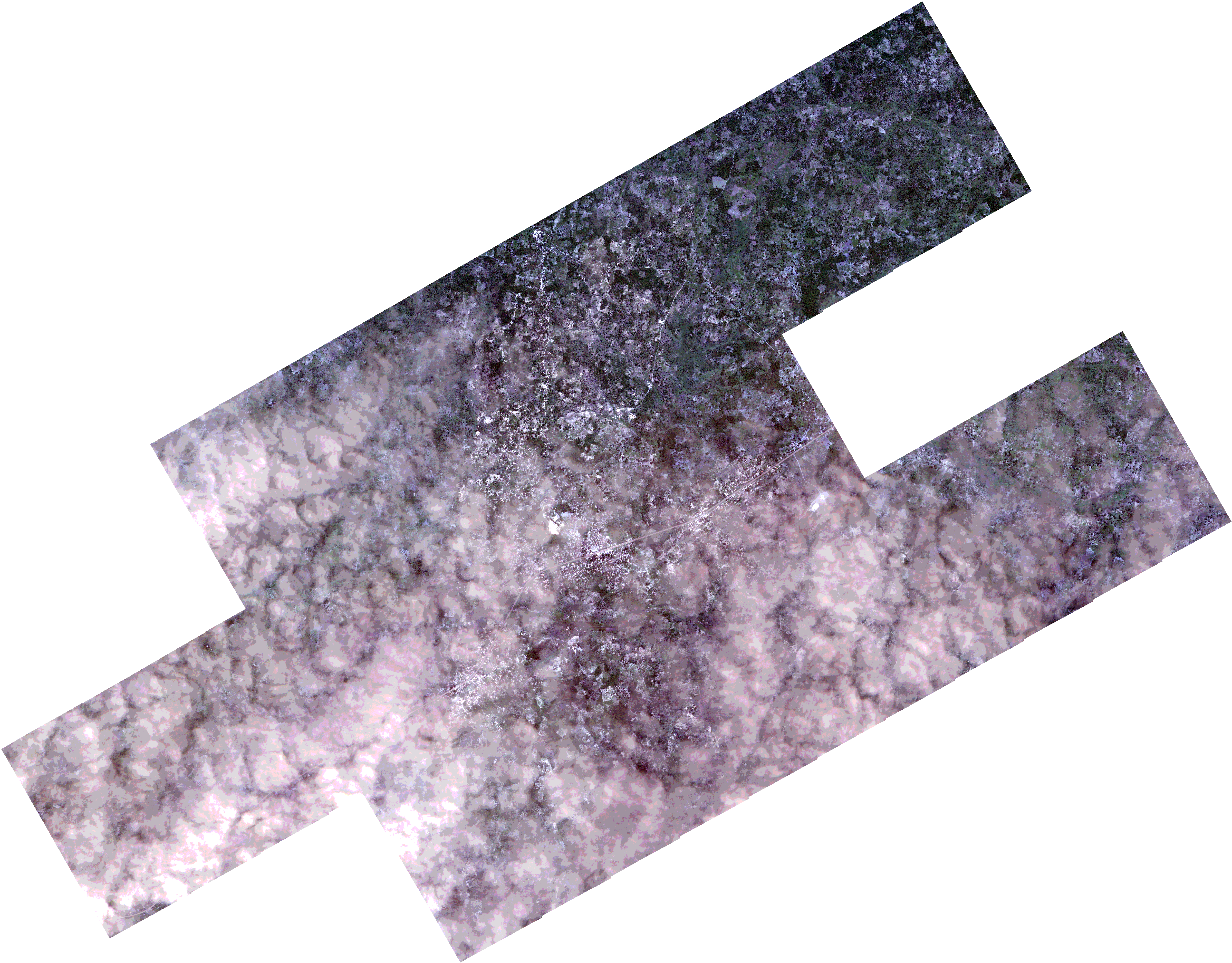
Path | E040 |
Row | S14 |
Start Date | 2021-05-07T07:54:25Z |
Stop Date | 2021-05-07T07:54:25Z |
Availability Time | 2021-05-07T07:54:25Z |
Platform Short Name | SkySat |
Instrument Short Name | SkySat Camera |
Sensor Type | OPTICAL |
Operational mode | CAMERA |
Resolution | 0.5 |
Orbit Number | 0 |
Orbit Direction | |
Illumination Azimuth Angle | 32.7 |
Illumination Elevation Angle | 52.7 |
Across Track Incidence Angle | 11.2 |
Footprint | -14.770731379 40.4525241498 -14.7673412964 40.4588327099 -14.7672124538 40.4587549889 -14.7638010863 40.465022435 -14.7636798523 40.4649495991 -14.7602734398 40.4712388939 -14.7601588786 40.4711699677 -14.7567539006 40.4774125475 -14.7566555466 40.4773532709 -14.7532445462 40.4835962836 -14.7531592558 40.4835448531 -14.7497434925 40.4898125896 -14.7496483767 40.4897551818 -14.7462233478 40.4960594951 -14.7461072958 40.4959894357 -14.74268935 40.5022724091 -14.7425674611 40.5021990533 -14.7391474453 40.508491727 -14.7390264709 40.5084195261 -14.7356081245 40.5147193298 -14.7187291861 40.504645257 -14.7228403358 40.4971009104 -14.7229635062 40.4971744399 -14.7263878213 40.490848268 -14.7265017608 40.4909167394 -14.729929006 40.4846123931 -14.7300445636 40.4846820884 -14.7318519781 40.481371709 -14.7193956331 40.4739127951 -14.7173193415 40.4776868664 -14.7172216534 40.477628229 -14.7137631017 40.4839665999 -14.7136658202 40.4839079462 -14.7101971816 40.4902242506 -14.7100930316 40.4901613101 -14.7066236854 40.4964464731 -14.6898420546 40.4863313733 -14.6939717647 40.4788048164 -14.6940841293 40.4788726429 -14.6975301565 40.4726109569 -14.6976315812 40.4726718642 -14.701095612 40.4663616109 -14.7011988757 40.4664234197 -14.7046396438 40.460150305 -14.7047177586 40.460197241 -14.70816292 40.4538915902 -14.708227682 40.4539308748 -14.7116637659 40.4476387464 -14.711746992 40.4476891731 -14.7151655334 40.4414809295 -14.7152580539 40.4415366759 -14.7186760952 40.4352790998 -14.7187609332 40.4353305597 -14.7221709404 40.4290675005 -14.7222759665 40.4291312403 -14.7256831768 40.4229128837 -14.7257791321 40.4229710023 -14.7291993254 40.4166947747 -14.7436905898 40.4254628332 -14.7456708969 40.4218352974 -14.7457884218 40.4219058066 -14.7491841113 40.4157082195 -14.7492778879 40.41576463 -14.7526887804 40.4095392126 -14.7527485028 40.4095751965 -14.7561304947 40.4033874525 -14.7729540677 40.4134444422 -14.7689407312 40.4208127687 -14.7688770705 40.4207746958 -14.765428503 40.4270691768 -14.7653258524 40.4270073339 -14.7619163096 40.4332282735 -14.7618045432 40.4331610714 -14.7601019065 40.4362868084 -14.7748817527 40.4451898416 -14.7708629778 40.4526033659 -14.770731379 40.4525241498 |
Scene Centre | -14.7323685543 40.4590533912 |
Size | 6987876850 |
Product type | SSC_DEF_CO |
Acquisition Type | NOMINAL |
Cloud-Cover Percentage | 0.22 |
Original Name | 20210507_075425_ssc1_u0002_SkySatCollect |
Bounding Box | -14.6898420546 40.4033874525 -14.7748817527 40.4033874525 -14.7748817527 40.5147193298 -14.6898420546 40.5147193298 |