Static Map Catalogue - Full Metadata Record
Collection SkySat
SkySat ESA Archive. More details.
SSC_OPER_SSC_DEF_CO_20210416T074811_S14-735_E040-453_01
Download Product | Browse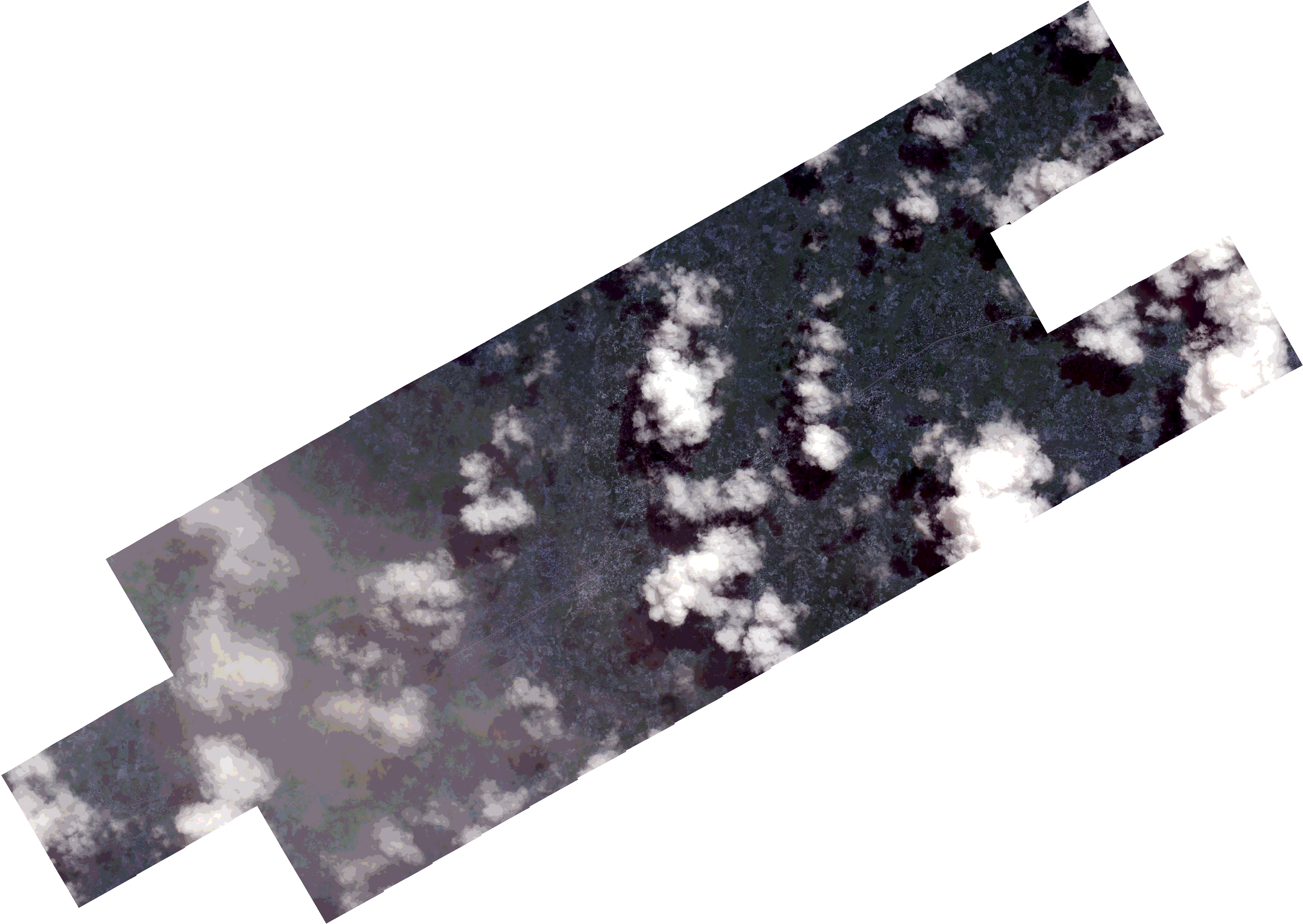
Path | E040 |
Row | S14 |
Start Date | 2021-04-16T07:48:11Z |
Stop Date | 2021-04-16T07:48:11Z |
Availability Time | 2021-04-16T07:48:11Z |
Platform Short Name | SkySat |
Instrument Short Name | SkySat Camera |
Sensor Type | OPTICAL |
Operational mode | CAMERA |
Resolution | 0.5 |
Orbit Number | 0 |
Orbit Direction | |
Illumination Azimuth Angle | 43 |
Illumination Elevation Angle | 56.6 |
Across Track Incidence Angle | 11.8 |
Footprint | -14.7891989038 40.4193894937 -14.7857623645 40.4256912787 -14.7856665438 40.4256328185 -14.7822113386 40.4319388641 -14.7821031988 40.4318732016 -14.7786574192 40.4381346345 -14.7785526488 40.4380711992 -14.7751321724 40.4443181924 -14.7749402947 40.4442020957 -14.7716012191 40.4504777228 -14.7714815415 40.4504055654 -14.7681112423 40.4566980555 -14.768011757 40.4566383519 -14.7646198239 40.4628596071 -14.764505371 40.4627910964 -14.7610973835 40.4690512613 -14.7609561718 40.468966227 -14.7575355622 40.4752466791 -14.7574559716 40.475198961 -14.7540406461 40.4814932856 -14.7539488993 40.4814384808 -14.7505523854 40.4876748933 -14.7504657838 40.4876232172 -14.7470594347 40.4938953908 -14.7469674121 40.4938407031 -14.7435690105 40.5000918539 -14.7434789582 40.5000383162 -14.7400644865 40.5062830402 -14.7399917362 40.5062396615 -14.7365763751 40.5124849721 -14.7364980683 40.512438255 -14.733086161 40.5186724726 -14.732994742 40.5186179153 -14.7296012556 40.5248485021 -14.729542406 40.5248135482 -14.726225618 40.5309240597 -14.7261002059 40.5308499832 -14.7226867445 40.5371030065 -14.705913234 40.5272071882 -14.7099845651 40.5197320931 -14.7100822832 40.5197897097 -14.7134687417 40.5135527822 -14.7134798378 40.5135593931 -14.7168825494 40.5074155393 -14.7169929044 40.5074811493 -14.7188185235 40.5041451411 -14.7064121112 40.4967565665 -14.7049948483 40.4993348589 -14.7052940301 40.499505426 -14.7011238689 40.5060132726 -14.6973434354 40.5129241387 -14.6973164402 40.5129081213 -14.6939008642 40.5191432915 -14.6771505275 40.5091923046 -14.6812322928 40.5017260917 -14.681265304 40.5017457134 -14.6839192886 40.4968615186 -14.6836664674 40.4967092536 -14.6876517731 40.4894473632 -14.6880487648 40.489673693 -14.6916689448 40.4830878184 -14.6917720084 40.4831495793 -14.6951911766 40.4769030021 -14.6952556736 40.4769417304 -14.6986750141 40.4706743929 -14.6987399214 40.4707135358 -14.7021617567 40.4644630506 -14.70223023 40.4645045359 -14.7056513287 40.458232113 -14.7057101608 40.4582676425 -14.7091065576 40.4520368924 -14.7091749046 40.4520778816 -14.7125802871 40.4458047447 -14.7126320588 40.4458359672 -14.716049422 40.4394935833 -14.7161237452 40.4395386473 -14.7195002202 40.4332676201 -14.7195705835 40.4333098695 -14.7229761099 40.4269803989 -14.7230096374 40.4270006307 -14.7262961573 40.4206333752 -14.7263739663 40.4206806074 -14.7297229107 40.4144405909 -14.7301111217 40.4146730628 -14.7336076748 40.4082776117 -14.733672697 40.4083170792 -14.737104628 40.4020003193 -14.7371795231 40.4020460732 -14.7406379136 40.395778206 -14.7406993919 40.3958156808 -14.744165056 40.3895005291 -14.7442414572 40.3895470253 -14.7476965828 40.3832508274 -14.7622404605 40.3921178973 -14.7641450426 40.3886662489 -14.7642136179 40.3887080213 -14.7676779597 40.382412057 -14.767742706 40.382451562 -14.7712144034 40.3761674431 -14.7712951105 40.3762165706 -14.7747568378 40.3699520857 -14.7915894955 40.3801972575 -14.7875041442 40.3875985573 -14.7874166942 40.3875452662 -14.7839583311 40.393834812 -14.7838869727 40.3937912343 -14.7804164409 40.40008793 -14.7803379531 40.4000400457 -14.7786729097 40.4030675764 -14.7933748581 40.4120311927 -14.7893177825 40.4194620541 -14.7891989038 40.4193894937 |
Scene Centre | -14.7352776869 40.4535275461 |
Size | 12521275632 |
Product type | SSC_DEF_CO |
Acquisition Type | NOMINAL |
Cloud-Cover Percentage | 0.3 |
Original Name | 20210416_074811_ssc1_u0001_SkySatCollect |
Bounding Box | -14.6771505275 40.3699520857 -14.7933748581 40.3699520857 -14.7933748581 40.5371030065 -14.6771505275 40.5371030065 |