Static Map Catalogue - Full Metadata Record
Collection SkySat
SkySat ESA Archive. More details.
SSC_OPER_SSC_DEF_CO_20210408T102809_S14-804_E040-347_01
Download Product | Browse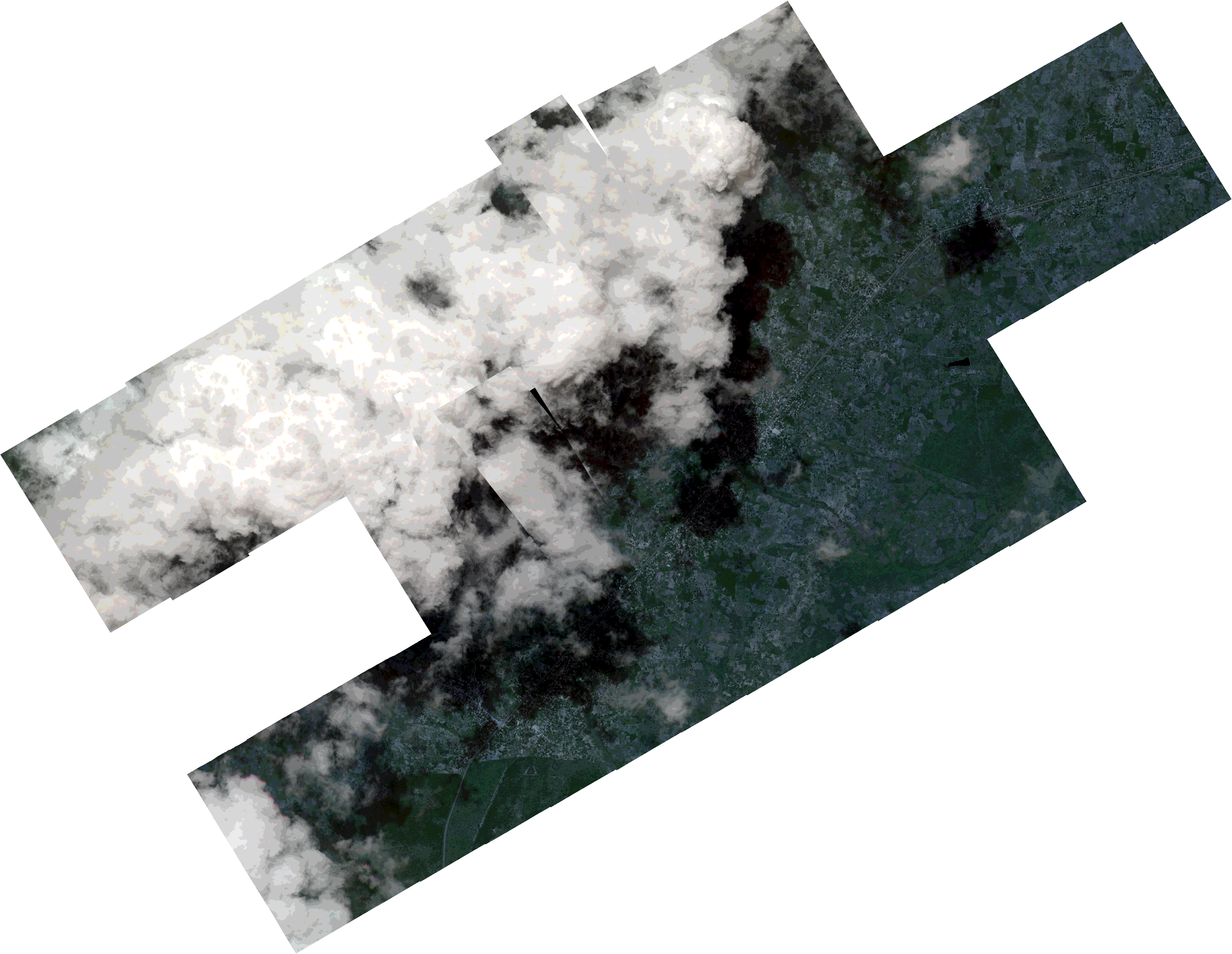
Path | E040 |
Row | S14 |
Start Date | 2021-04-08T10:28:09Z |
Stop Date | 2021-04-08T10:28:09Z |
Availability Time | 2021-04-08T10:28:09Z |
Platform Short Name | SkySat |
Instrument Short Name | SkySat Camera |
Sensor Type | OPTICAL |
Operational mode | CAMERA |
Resolution | 0.5 |
Orbit Number | 0 |
Orbit Direction | |
Illumination Azimuth Angle | 321.7 |
Illumination Elevation Angle | 62.2 |
Across Track Incidence Angle | 11.4 |
Footprint | -14.8441268679 40.3247655856 -14.8415763058 40.3291865922 -14.8416403845 40.3292272715 -14.8381149499 40.3353568896 -14.8381608348 40.3353859133 -14.8346208074 40.3415375473 -14.8346758541 40.3415723527 -14.8311313677 40.347761785 -14.8311910275 40.3477998003 -14.8276493741 40.353949964 -14.8276933557 40.353978002 -14.8241355132 40.3601684413 -14.8242022778 40.3602112605 -14.8206478951 40.3663925535 -14.8207186321 40.366437895 -14.8171684014 40.3725915117 -14.8172436534 40.3726397444 -14.8136891663 40.3788271817 -14.8137615933 40.3788736194 -14.8101981217 40.3850368409 -14.8102790608 40.3850885854 -14.8060434426 40.392426132 -14.7910519278 40.3828462206 -14.7890909899 40.3862269392 -14.7891793769 40.3862841834 -14.7856047183 40.3924435617 -14.7856920155 40.3925000474 -14.7821105783 40.3986696607 -14.7822065782 40.3987318442 -14.7779450074 40.4060484195 -14.7613385542 40.3953319626 -14.7649092084 40.3891485442 -14.7648294186 40.3890969246 -14.7683981844 40.3829447929 -14.768327202 40.3828989073 -14.7718828391 40.3767420538 -14.7718049783 40.3766916759 -14.7740419779 40.3728165718 -14.7597243496 40.3636286612 -14.7633036527 40.3574897736 -14.7632298962 40.3574424846 -14.7667051177 40.3515030134 -14.7658611018 40.3509817798 -14.7695024501 40.3436954769 -14.7747178666 40.3469081019 -14.768561414 40.3421848696 -14.7728432636 40.3348629858 -14.7750366687 40.3365456919 -14.7772730461 40.3326992341 -14.7772040384 40.332654859 -14.7807884825 40.3265250873 -14.7807152079 40.3264780348 -14.784283226 40.3203571836 -14.7842224453 40.3203179855 -14.7877900594 40.3142298679 -14.7877059318 40.3141758047 -14.7912545673 40.3081405054 -14.7912174783 40.3081168176 -14.7954942363 40.3007595957 -14.7957918841 40.3009509445 -14.7983361493 40.2965547841 -14.7979268691 40.2962919026 -14.8022063788 40.2889403123 -14.8187462825 40.2995714112 -14.815431551 40.3052689751 -14.815731304 40.3054571923 -14.8115137217 40.3127443166 -14.8113211199 40.3126233745 -14.8084861925 40.3174653971 -14.8085271998 40.3174916113 -14.8059415306 40.3219247759 -14.8185813714 40.3300450215 -14.8208647368 40.3260901907 -14.8208194654 40.3260615367 -14.824343921 40.3199144592 -14.8242848029 40.3198770012 -14.8275269572 40.3142396012 -14.827517507 40.3142336088 -14.8317581538 40.3069117795 -14.8483665552 40.3174231838 -14.8441282498 40.3247664619 -14.8441268679 40.3247655856 |
Scene Centre | -14.8040528436 40.3474943659 |
Size | 7834162560 |
Product type | SSC_DEF_CO |
Acquisition Type | NOMINAL |
Cloud-Cover Percentage | 0.48 |
Original Name | 20210408_102809_ssc7_u0002_SkySatCollect |
Bounding Box | -14.7597243496 40.2889403123 -14.8483665552 40.2889403123 -14.8483665552 40.4060484195 -14.7597243496 40.4060484195 |