Static Map Catalogue - Full Metadata Record
Collection SkySat
SkySat ESA Archive. More details.
SSC_OPER_SSC_DEF_CO_20210407T101653_S14-750_E040-425_01
Download Product | Browse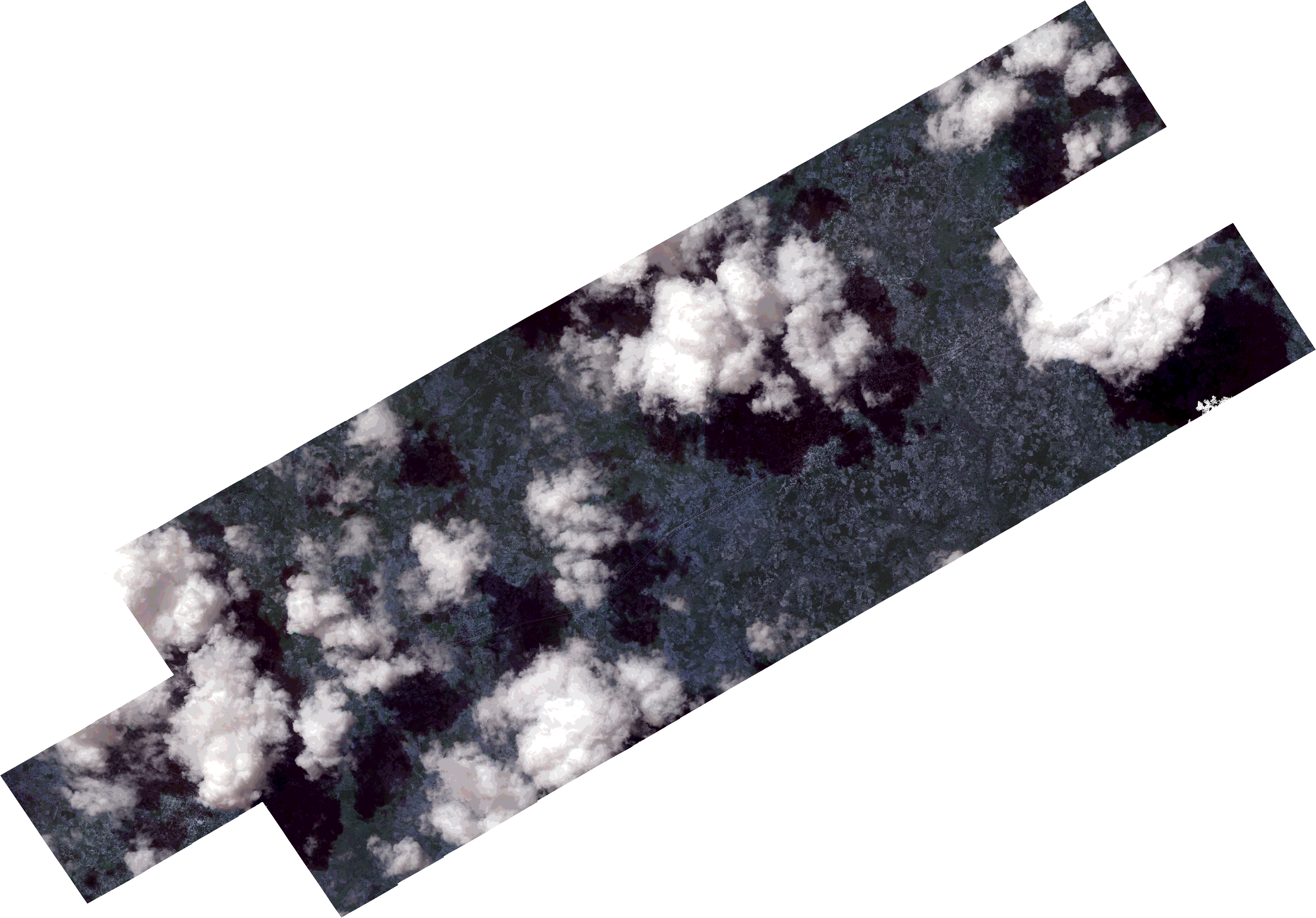
Path | E040 |
Row | S14 |
Start Date | 2021-04-07T10:16:53Z |
Stop Date | 2021-04-07T10:16:53Z |
Availability Time | 2021-04-07T10:16:53Z |
Platform Short Name | SkySat |
Instrument Short Name | SkySat Camera |
Sensor Type | OPTICAL |
Operational mode | CAMERA |
Resolution | 0.5 |
Orbit Number | 0 |
Orbit Direction | |
Illumination Azimuth Angle | 326.3 |
Illumination Elevation Angle | 64.1 |
Across Track Incidence Angle | 19.9 |
Footprint | -14.8078123273 40.3901319311 -14.8042126305 40.3965239953 -14.8041308854 40.3964663857 -14.800471598 40.402975396 -14.8004251317 40.402942645 -14.7967043032 40.4094126287 -14.7965874606 40.4093300553 -14.7935868674 40.4145964649 -14.7935979575 40.4146042555 -14.7891857241 40.4224560562 -14.789138388 40.4224226903 -14.7853861791 40.4290292904 -14.7853253331 40.4289864911 -14.7815850629 40.4355202547 -14.7815655895 40.4355067116 -14.7784846044 40.440920601 -14.7785057691 40.4409353217 -14.7744889353 40.4480406235 -14.7745215656 40.4480634031 -14.7707486498 40.4546265544 -14.7707834312 40.4546506097 -14.7669935303 40.4613204459 -14.7670235803 40.4613412209 -14.7632324128 40.467981624 -14.7632370196 40.4679848134 -14.7587869592 40.4757785209 -14.7587528807 40.4757549849 -14.7549778354 40.4824642259 -14.7549036218 40.4824133403 -14.7511411302 40.4890612491 -14.751030925 40.4889857124 -14.747026979 40.4960356958 -14.7469242383 40.4959658398 -14.7429024367 40.5030387981 -14.7428618179 40.5030111777 -14.7396962556 40.5086063679 -14.7397262611 40.5086268395 -14.7352863215 40.5164461007 -14.718262181 40.5048706457 -14.7220893211 40.4980861892 -14.722046159 40.4980566808 -14.726481085 40.4902774658 -14.7265514587 40.4903252654 -14.7303414839 40.4836383931 -14.7304539934 40.4837147969 -14.7321494734 40.4807044132 -14.7191991207 40.4717883923 -14.7172173544 40.4753561621 -14.7171108746 40.4752826991 -14.7131051851 40.482286629 -14.7130589073 40.4822550238 -14.7098783136 40.4878236439 -14.7099164105 40.4878494194 -14.7054759658 40.4956764437 -14.6884942738 40.4842154965 -14.6923131633 40.4774168183 -14.6922860821 40.4773985069 -14.6967050433 40.4694863289 -14.6967539942 40.469519801 -14.7005255468 40.4628172909 -14.7006069925 40.4628733065 -14.7046186364 40.4557689293 -14.7047083693 40.4558302292 -14.7086992956 40.4487343008 -14.7087397588 40.4487619183 -14.7124958501 40.442044448 -14.7125118694 40.4420555068 -14.7156414403 40.4364635384 -14.7155937881 40.436430768 -14.7199763303 40.428555179 -14.7199874748 40.4285628068 -14.723689286 40.4218410048 -14.7236967737 40.4218461404 -14.727428059 40.4150928793 -14.727431513 40.4150952469 -14.7307534981 40.4090569917 -14.7307148469 40.4090303735 -14.734440812 40.402293043 -14.7344314169 40.4022865218 -14.7388433992 40.3944596613 -14.7388601303 40.3944713046 -14.741929998 40.389051388 -14.7419213562 40.3890454089 -14.7456413694 40.382466029 -14.7456363019 40.3824625348 -14.7493253415 40.3758500769 -14.7493109818 40.3758401098 -14.7536866648 40.3678591296 -14.7537177562 40.3678809463 -14.7573554197 40.3613606957 -14.7574089633 40.3613984313 -14.7603248258 40.35622552 -14.7602990225 40.3562072379 -14.7645761387 40.3482170667 -14.7797905984 40.3589792053 -14.7823085667 40.3545869974 -14.7823852571 40.3546406487 -14.7861037422 40.3480504776 -14.7862224416 40.3481347014 -14.7891272053 40.3429635989 -14.7891009536 40.3429449752 -14.7935301133 40.3351181479 -14.8108269321 40.3473628938 -14.806394167 40.3552132241 -14.8063853793 40.3552069899 -14.8026632761 40.3617235201 -14.8025800285 40.3616644041 -14.7989268476 40.3680931634 -14.7988799452 40.3680600058 -14.7969325164 40.3714500453 -14.8124347965 40.3824259052 -14.8079766546 40.3902485806 -14.8078123273 40.3901319311 |
Scene Centre | -14.7504821971 40.4257821243 |
Size | 14301157094 |
Product type | SSC_DEF_CO |
Acquisition Type | NOMINAL |
Cloud-Cover Percentage | 0.37 |
Original Name | 20210407_101653_ssc10_u0001_SkySatCollect |
Bounding Box | -14.6884942738 40.3351181479 -14.8124347965 40.3351181479 -14.8124347965 40.5164461007 -14.6884942738 40.5164461007 |