Static Map Catalogue - Full Metadata Record
Collection SkySat
SkySat ESA Archive. More details.
SSC_OPER_SSC_DEF_CO_20210325T101730_S14-802_E040-335_01
Download Product | Browse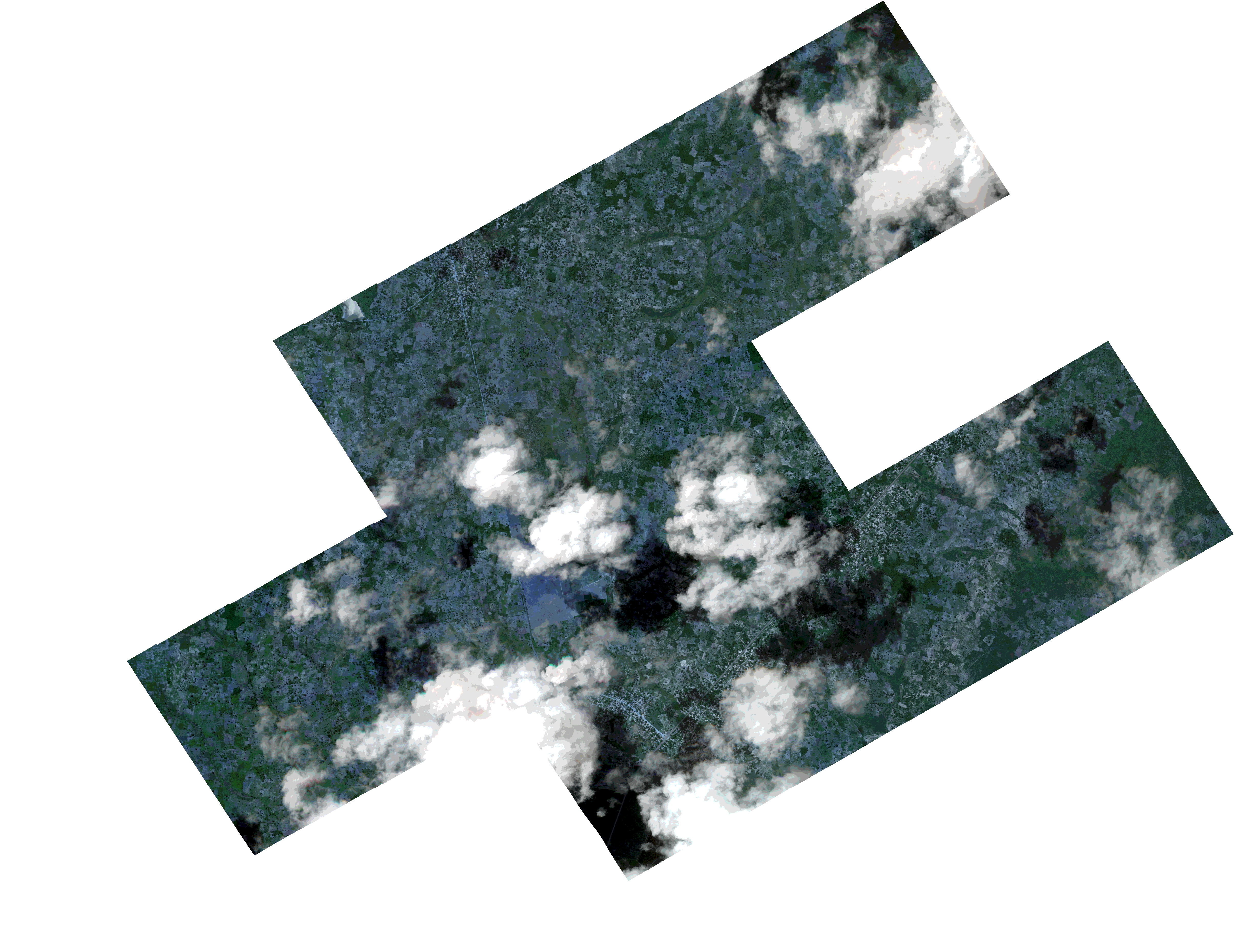
Path | E040 |
Row | S14 |
Start Date | 2021-03-25T10:17:30Z |
Stop Date | 2021-03-25T10:17:30Z |
Availability Time | 2021-03-25T10:17:30Z |
Platform Short Name | SkySat |
Instrument Short Name | SkySat Camera |
Sensor Type | OPTICAL |
Operational mode | CAMERA |
Resolution | 0.5 |
Orbit Number | 0 |
Orbit Direction | |
Illumination Azimuth Angle | 320.9 |
Illumination Elevation Angle | 68.7 |
Across Track Incidence Angle | 18.3 |
Footprint | -14.8386779839 40.3352566044 -14.8387129282 40.3352805412 -14.8350518638 40.3417733073 -14.835072206 40.3417872432 -14.8314121806 40.3482246144 -14.8314153549 40.3482267709 -14.8277441828 40.3547342594 -14.8277732045 40.3547539827 -14.8241052948 40.3612108555 -14.8241225806 40.3612225088 -14.8204513373 40.36769329 -14.8204542194 40.3676952362 -14.8161484907 40.3753058703 -14.8161393914 40.3752997288 -14.8124539454 40.3817425282 -14.8124356125 40.381730145 -14.8087682562 40.3882111251 -14.7917871945 40.3767067546 -14.7961041463 40.3691436695 -14.7961065889 40.3691453188 -14.7991438697 40.3638289106 -14.7991417682 40.3638274923 -14.8028103493 40.3573398261 -14.8027858742 40.3573232954 -14.805116181 40.3532301541 -14.7920755308 40.3443580778 -14.7905182767 40.3471179023 -14.7905575098 40.3471445384 -14.7868878038 40.3536374502 -14.7869072819 40.3536506632 -14.7832274115 40.3600940099 -14.7832386822 40.3601016381 -14.7789469497 40.3677372627 -14.7618667434 40.3561356406 -14.7655146046 40.3496629895 -14.7654907166 40.3496468388 -14.7691623142 40.3431551737 -14.7691301045 40.343133316 -14.7728015368 40.3366325651 -14.7727428076 40.3365926734 -14.7764043596 40.3301451857 -14.7763501034 40.3301084538 -14.7800043542 40.3235710983 -14.7799318614 40.3235219253 -14.7835947629 40.3170513521 -14.7835220056 40.3170023425 -14.7871408069 40.3104092853 -14.7870590685 40.3103536653 -14.7906897316 40.3038068926 -14.7906157797 40.303756639 -14.7949109124 40.2961444029 -14.810257682 40.3065268885 -14.8118323581 40.3037221982 -14.8117681199 40.3036781368 -14.8154366007 40.2971980862 -14.815363566 40.2971482136 -14.8190340853 40.2906568755 -14.818950288 40.2905998475 -14.8232600149 40.2829991578 -14.8404390847 40.294668454 -14.8367547925 40.301162599 -14.8368061547 40.3011975778 -14.8331504334 40.3077096139 -14.8331934659 40.3077389735 -14.829536815 40.314301961 -14.8295721341 40.3143261959 -14.8272448086 40.3184563685 -14.8423632592 40.3287034271 -14.8386779839 40.3352566044 |
Scene Centre | -14.8021209664 40.3356051414 |
Size | 6439037953 |
Product type | SSC_DEF_CO |
Acquisition Type | NOMINAL |
Cloud-Cover Percentage | 0.23 |
Original Name | 20210325_101730_ssc10_u0002_SkySatCollect |
Bounding Box | -14.7618667434 40.2829991578 -14.8423632592 40.2829991578 -14.8423632592 40.3882111251 -14.7618667434 40.3882111251 |