Static Map Catalogue - Full Metadata Record
Collection SkySat
SkySat ESA Archive. More details.
SSC_OPER_SSC_DEF_CO_20210419T041659_S14-733_E039-911_01
Download Product | Browse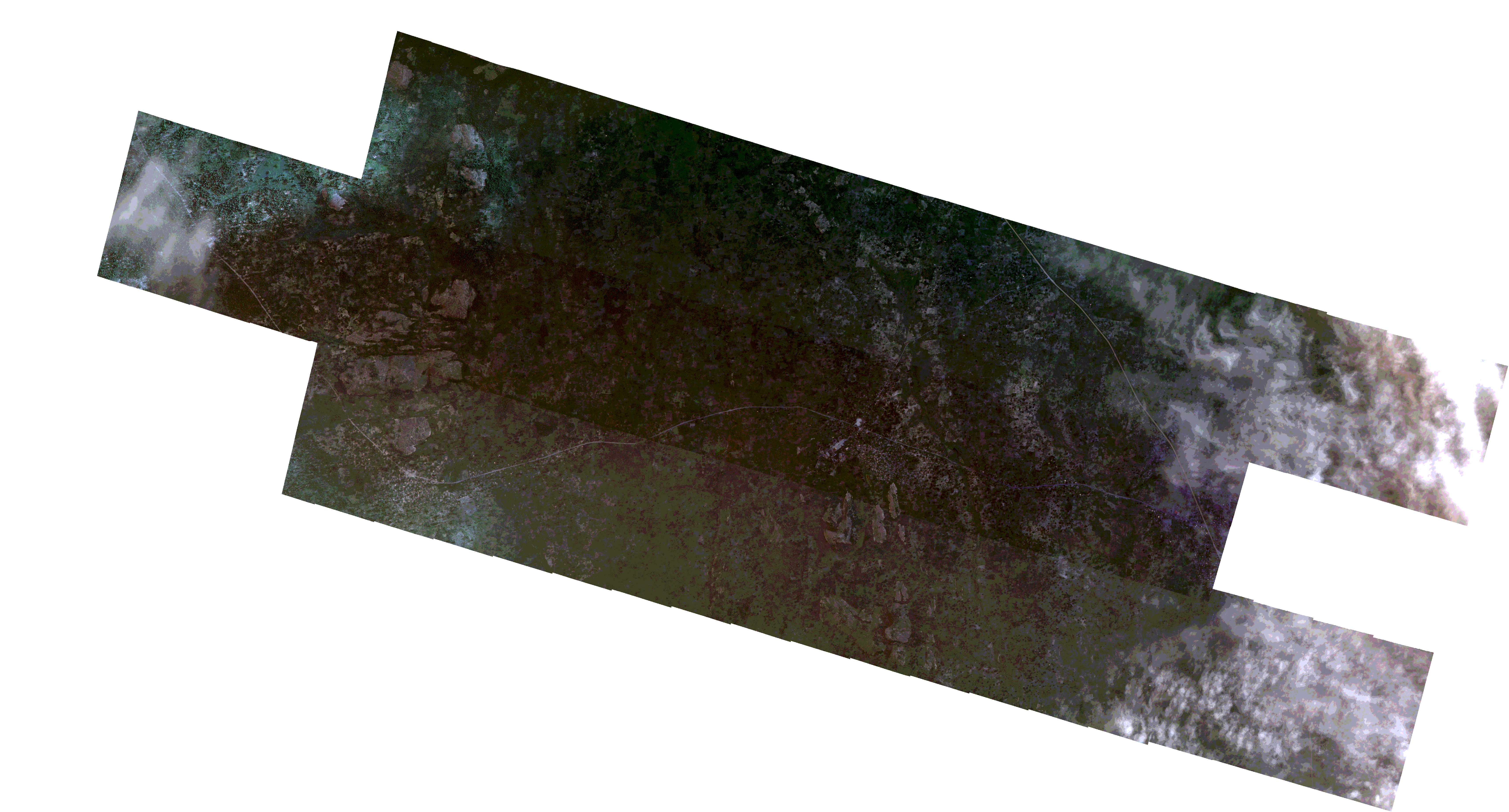
Path | E039 |
Row | S14 |
Start Date | 2021-04-19T04:16:59Z |
Stop Date | 2021-04-19T04:16:59Z |
Availability Time | 2021-04-19T04:16:59Z |
Platform Short Name | SkySat |
Instrument Short Name | SkySat Camera |
Sensor Type | OPTICAL |
Operational mode | CAMERA |
Resolution | 0.5 |
Orbit Number | 0 |
Orbit Direction | |
Illumination Azimuth Angle | 75.2 |
Illumination Elevation Angle | 10.8 |
Across Track Incidence Angle | 19 |
Footprint | -14.755253138 39.9726233879 -14.7534569557 39.9662700475 -14.7534820132 39.9662634326 -14.7516992063 39.9599375304 -14.7517401387 39.9599266997 -14.7508531371 39.9567814299 -14.7381391432 39.9604428981 -14.7392634798 39.964434924 -14.7392321784 39.9644428892 -14.7410065478 39.9707545558 -14.7409949352 39.970757558 -14.7424957206 39.9760221646 -14.7424962174 39.9760220359 -14.7425848312 39.9763347557 -14.7428190913 39.9771565171 -14.7428177843 39.977156852 -14.7446200069 39.9835169329 -14.727874274 39.9878396722 -14.726060048 39.9814508242 -14.7260451545 39.9814546405 -14.7239300884 39.9739871506 -14.7239310232 39.9739869071 -14.722104338 39.9675818408 -14.7221268378 39.9675761024 -14.7203134233 39.9612101004 -14.7206223692 39.9611322046 -14.718872767 39.9555099611 -14.7189770605 39.9554817777 -14.7170695476 39.9491741386 -14.7171691296 39.949147016 -14.7152747712 39.9428222644 -14.715358533 39.9427996207 -14.7134961347 39.9365095758 -14.7135630324 39.9364915494 -14.7116583084 39.9301564138 -14.7117433468 39.9301333142 -14.7098218781 39.9238039721 -14.7099235692 39.92377692 -14.7080045933 39.9174767388 -14.7080976127 39.9174516882 -14.7061481539 39.9110932113 -14.7062460458 39.9110667318 -14.7042507016 39.9046758064 -14.7043370452 39.9046532685 -14.702382385 39.8983062036 -14.7024573191 39.8982870657 -14.7005359722 39.8919601045 -14.7005952365 39.8919449763 -14.6986840567 39.8856189025 -14.6987284679 39.8856076596 -14.6969253981 39.8794020168 -14.696988335 39.8793855581 -14.6952758607 39.8740730322 -14.6952223697 39.8740863685 -14.6929511987 39.8665905662 -14.7081499045 39.8628070545 -14.7067616481 39.8581903361 -14.7068180658 39.8581760767 -14.7049762671 39.8519144109 -14.7050078842 39.8519062833 -14.7031323862 39.845604723 -14.7031458914 39.845601263 -14.7012242799 39.8392732092 -14.718297665 39.8349405174 -14.7205877648 39.842426763 -14.7205363647 39.8424397998 -14.7224367977 39.8487180467 -14.7223767584 39.8487333366 -14.7243027387 39.8550481377 -14.7242325886 39.8550657879 -14.7251741502 39.8582278568 -14.7406118144 39.8544627946 -14.7428783411 39.861951018 -14.7428073102 39.8619682529 -14.7446729145 39.868215954 -14.7445750653 39.8682400792 -14.7464381243 39.8744762677 -14.7463428502 39.8744999602 -14.7481958263 39.8807432783 -14.748077657 39.8807730353 -14.74991406 39.8870273048 -14.7497854055 39.8870604351 -14.7516194794 39.8932897577 -14.7514877007 39.8933240813 -14.7533487605 39.8995858843 -14.7532018187 39.8996239131 -14.7550597191 39.90586163 -14.7549246906 39.9058972687 -14.7568216614 39.9121968743 -14.7567048133 39.9122281578 -14.7585565433 39.9184751919 -14.7584331832 39.9185085872 -14.7603277764 39.9248019509 -14.7602215532 39.9248302787 -14.7620512396 39.9310530609 -14.761930899 39.9310859241 -14.7637575211 39.9372930507 -14.7636319806 39.937327575 -14.7654948974 39.943597107 -14.7653778258 39.9436293828 -14.7672412268 39.9499071602 -14.7669035732 39.9500022652 -14.768778298 39.9567190401 -14.7687266904 39.9567325787 -14.7704955416 39.9630245735 -14.7704691861 39.9630315232 -14.7722362385 39.9693423662 -14.7722274101 39.9693447141 -14.7739930329 39.9756549053 -14.7573645349 39.9801205114 -14.755247414 39.9726249138 -14.755253138 39.9726233879 |
Scene Centre | -14.7334846606 39.9113900948 |
Size | 7700816002 |
Product type | SSC_DEF_CO |
Acquisition Type | NOMINAL |
Cloud-Cover Percentage | 0.1 |
Original Name | 20210419_041659_ssc18_u0001_SkySatCollect |
Bounding Box | -14.6929511987 39.8349405174 -14.7739930329 39.8349405174 -14.7739930329 39.9878396722 -14.6929511987 39.9878396722 |