Static Map Catalogue - Full Metadata Record
Collection SkySat
SkySat ESA Archive. More details.
SSC_OPER_SSC_DEF_CO_20211222T075534_N02-270_E031-721_01
Download Product | Browse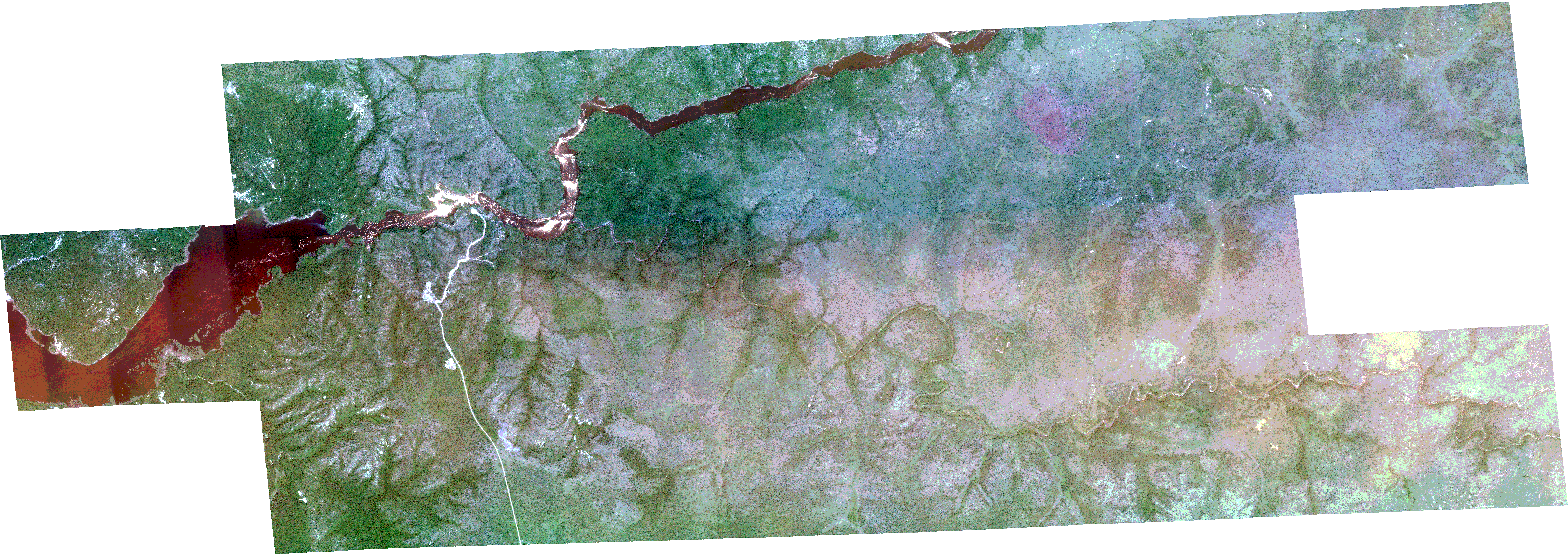
Path | E031 |
Row | N02 |
Start Date | 2021-12-22T07:55:34Z |
Stop Date | 2021-12-22T07:55:34Z |
Availability Time | 2021-12-22T07:55:34Z |
Platform Short Name | SkySat |
Instrument Short Name | SkySat Camera |
Sensor Type | OPTICAL |
Operational mode | CAMERA |
Resolution | 0.5 |
Orbit Number | 0 |
Orbit Direction | |
Illumination Azimuth Angle | 134 |
Illumination Elevation Angle | 51.8 |
Across Track Incidence Angle | 15.9 |
Footprint | 2.23983039725 31.6726800138 2.23960599224 31.6727022848 2.24005742838 31.6796352652 2.23986906872 31.6796534048 2.24025235451 31.6867008849 2.24005014972 31.6867212321 2.24043799026 31.6937440554 2.24019464053 31.6937698125 2.24061691013 31.7007200077 2.24038213218 31.7007453327 2.24083114427 31.7076724897 2.2406200316 31.7076948539 2.24107601339 31.7146086615 2.24088485632 31.7146287667 2.2413240992 31.7215943097 2.24113598536 31.7216144749 2.24160143762 31.728546932 2.2414658701 31.7285614361 2.24186525817 31.7356061532 2.24175586258 31.7356180413 2.24221434864 31.7425694588 2.24210691755 31.7425810628 2.2425441615 31.7495294874 2.24243350409 31.7495411012 2.24282972397 31.7565132376 2.24274333016 31.7565224971 2.2431338731 31.7635362658 2.24304129845 31.763546406 2.24348374263 31.7704611512 2.2433239709 31.7704786386 2.24377114554 31.7773874537 2.24356906791 31.7774097257 2.24399413982 31.7843357719 2.24383307189 31.7843531359 2.24426937323 31.7912535909 2.2441569082 31.7912654932 2.24454414334 31.7983265521 2.24452407511 31.7983287171 2.24504284674 31.8066256654 2.26510481298 31.8044984171 2.26464581294 31.7961579628 2.26460094548 31.7961628032 2.26426179659 31.7905123281 2.26436728834 31.7905010975 2.26394875858 31.783592687 2.26403726559 31.7835833109 2.26377652731 31.7783081993 2.27901902134 31.7767124372 2.2792104221 31.7800024806 2.27912393824 31.78001197 2.27952640373 31.7869550511 2.27946780854 31.7869614082 2.27997722541 31.7952739241 2.28001278269 31.7952702009 2.28040277866 31.8023419 2.30061654877 31.8001495796 2.30012425099 31.791820552 2.29998550171 31.7918354467 2.29970646288 31.7861813859 2.29972573563 31.7861793086 2.29935948674 31.7792235484 2.29938691126 31.7792205734 2.29900603919 31.7722934363 2.29905561893 31.77228803 2.29865201869 31.7653762992 2.29867175149 31.7653741789 2.29821685799 31.7570082384 2.29816032187 31.7570145264 2.29778706167 31.7508224233 2.29747256081 31.7444557199 2.29749847809 31.7444528455 2.29706400883 31.7374842345 2.29709245859 31.7374811015 2.29655753511 31.729191748 2.29654354545 31.7291932759 2.29618230982 31.723639323 2.29622848914 31.7236345053 2.29582550968 31.7166684863 2.29592790573 31.7166577856 2.29549076721 31.7097725199 2.29558702703 31.7097629687 2.29517673599 31.7028352753 2.29530292038 31.7028226096 2.29487494262 31.6959295949 2.29502904637 31.6959148804 2.29460698607 31.6890065152 2.29476908056 31.6889912833 2.29438147148 31.6820126498 2.2945164467 31.6819995053 2.2940996682 31.6750581053 2.29423340697 31.6750459235 2.2938318981 31.6680679574 2.29394086506 31.6680583408 2.29348452303 31.6596123656 2.27585824815 31.6612373821 2.27563826951 31.6578535151 2.27581090677 31.6578352286 2.27534163421 31.6509353775 2.27549204187 31.6509203238 2.27507822063 31.6439173548 2.27521126988 31.643904414 2.2747198512 31.6354747461 2.25512314665 31.6374886837 2.25558053735 31.6444510624 2.25542169415 31.6444669066 2.25583388927 31.6514922944 2.25565883058 31.6515099013 2.25606713237 31.6585447423 2.2558762599 31.6585649963 2.25617770752 31.6638703076 2.23943166993 31.6655521902 2.23983039725 31.6726800138 |
Scene Centre | 2.27002663865 31.7210502057 |
Size | 12202202203 |
Product type | SSC_DEF_CO |
Acquisition Type | NOMINAL |
Cloud-Cover Percentage | 0 |
Original Name | 20211222_075534_ssc12_u0002_SkySatCollect |
Bounding Box | 2.30061654877 31.6354747461 2.23943166993 31.6354747461 2.23943166993 31.8066256654 2.30061654877 31.8066256654 |