ESA TPM Map Catalogue - Product List
back to previous node |
list of download URLs


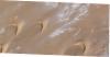
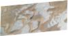
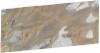


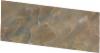
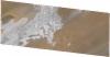
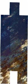
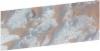


Collection SkySat
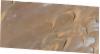
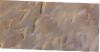
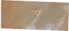
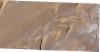
SkySat ESA Archive. More details.
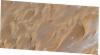
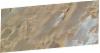
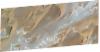
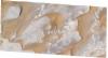
List of available products (path: E018, row: N17).
SSC_OPER_SSC_DEF_SC_20211222T085322_N17-165_E018-420_01
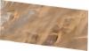
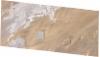
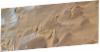
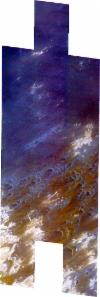
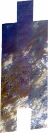
Download Product | Product Info | Browse
Resolution | 0.5 |
Product type | SSC_DEF_SC |
Cloud-Cover Percentage | 0.01 |
Start Date | 2021-12-22T08:53:22Z |
Stop Date | 2021-12-22T08:53:22Z |
Path | E018 |
Row | N17 |
Original Name | 20211222_085322_ssc3d2_0015_SkySatScene |
SSC_OPER_SSC_DEF_SC_20211219T120406_N17-163_E018-420_01
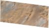
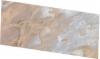
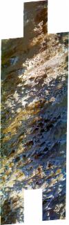
Download Product | Product Info | Browse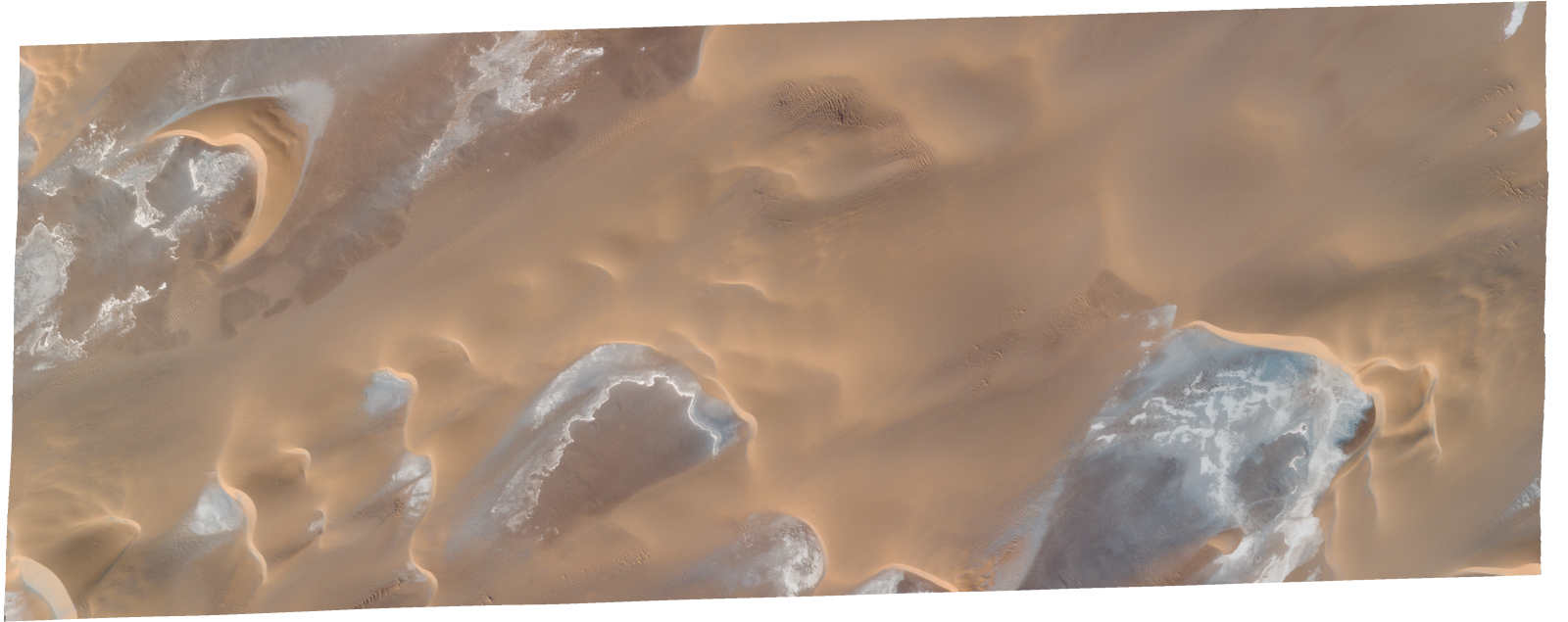
Resolution | 0.5 |
Product type | SSC_DEF_SC |
Cloud-Cover Percentage | 0 |
Start Date | 2021-12-19T12:04:06Z |
Stop Date | 2021-12-19T12:04:06Z |
Path | E018 |
Row | N17 |
Original Name | 20211219_120406_ssc14d2_0020_SkySatScene |
SSC_OPER_SSC_DEF_SC_20211216T131612_N17-167_E018-421_01
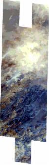
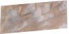
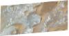
Download Product | Product Info | Browse
Resolution | 0.5 |
Product type | SSC_DEF_SC |
Cloud-Cover Percentage | 0 |
Start Date | 2021-12-16T13:16:12Z |
Stop Date | 2021-12-16T13:16:12Z |
Path | E018 |
Row | N17 |
Original Name | 20211216_131612_ssc14d2_0005_SkySatScene |
SSC_OPER_SSC_DEF_CO_20211221T073234_N17-178_E018-374_01
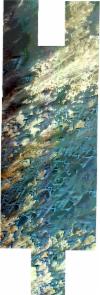
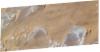
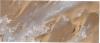
Download Product | Product Info | Browse
Resolution | 0.5 |
Product type | SSC_DEF_CO |
Cloud-Cover Percentage | 0.43 |
Start Date | 2021-12-21T07:32:34Z |
Stop Date | 2021-12-21T07:32:34Z |
Path | E018 |
Row | N17 |
Original Name | 20211221_073234_ssc17_u0001_SkySatCollect |
SSC_OPER_SSC_DEF_SC_20211218T084613_N17-162_E018-402_01
Download Product | Product Info | Browse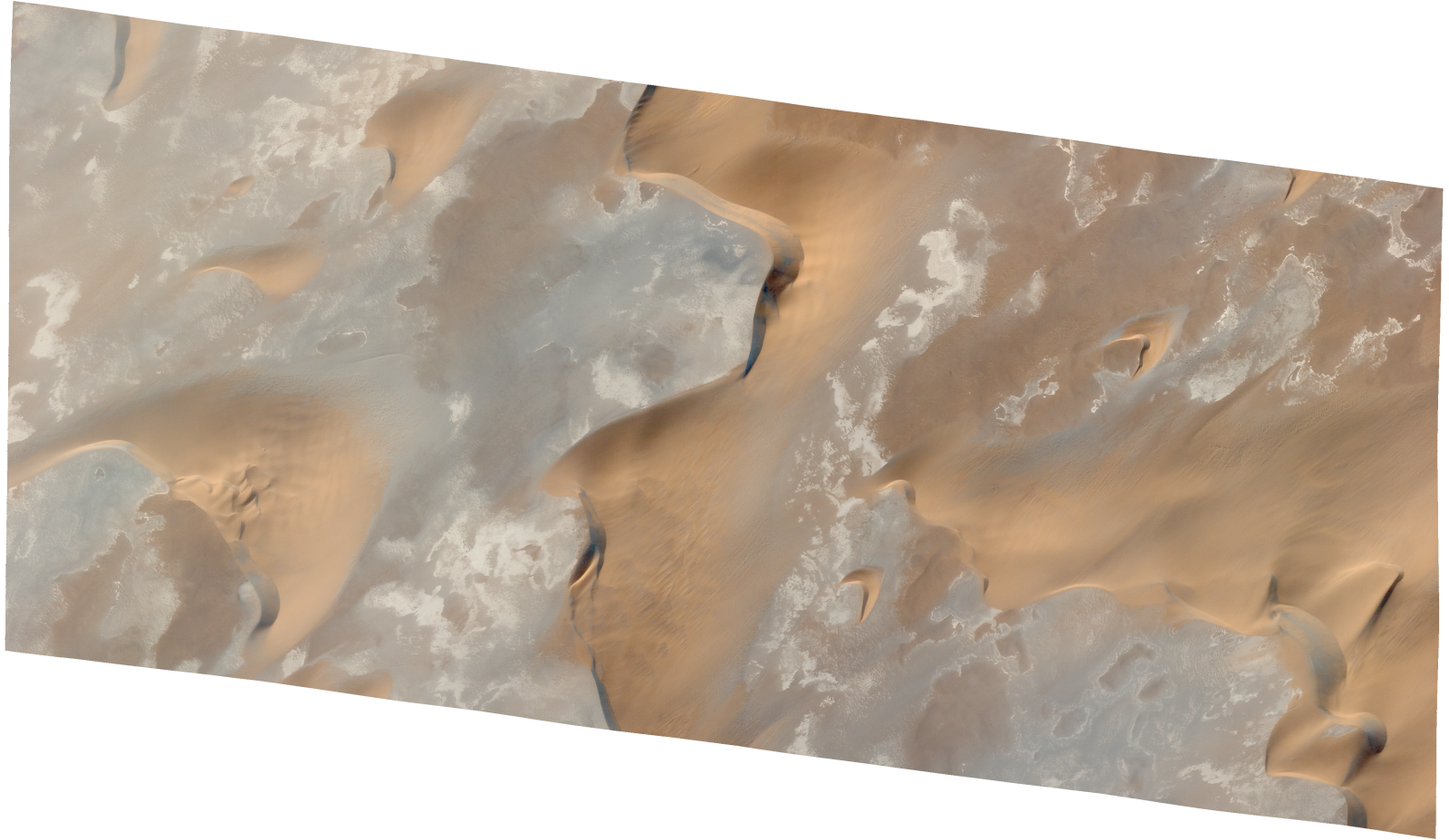
Resolution | 0.5 |
Product type | SSC_DEF_SC |
Cloud-Cover Percentage | 0.06 |
Start Date | 2021-12-18T08:46:13Z |
Stop Date | 2021-12-18T08:46:13Z |
Path | E018 |
Row | N17 |
Original Name | 20211218_084613_ssc17d1_0002_SkySatScene |
SSC_OPER_SSC_DEF_SC_20211218T084613_N17-177_E018-420_01
Download Product | Product Info | Browse
Resolution | 0.5 |
Product type | SSC_DEF_SC |
Cloud-Cover Percentage | 0 |
Start Date | 2021-12-18T08:46:13Z |
Stop Date | 2021-12-18T08:46:13Z |
Path | E018 |
Row | N17 |
Original Name | 20211218_084613_ssc17d2_0008_SkySatScene |
SSC_OPER_SSC_DEF_SC_20211218T084613_N17-184_E018-402_01
Download Product | Product Info | Browse
Resolution | 0.5 |
Product type | SSC_DEF_SC |
Cloud-Cover Percentage | 0 |
Start Date | 2021-12-18T08:46:13Z |
Stop Date | 2021-12-18T08:46:13Z |
Path | E018 |
Row | N17 |
Original Name | 20211218_084613_ssc17d1_0005_SkySatScene |
SSC_OPER_SSC_DEF_CO_20211218T084613_N17-214_E018-420_01
Download Product | Product Info | Browse
Resolution | 0.5 |
Product type | SSC_DEF_CO |
Cloud-Cover Percentage | 0.34 |
Start Date | 2021-12-18T08:46:13Z |
Stop Date | 2021-12-18T08:46:13Z |
Path | E018 |
Row | N17 |
Original Name | 20211218_084613_ssc17_u0001_SkySatCollect |
SSC_OPER_SSC_DEF_CO_20211222T085322_N17-209_E018-420_01
Download Product | Product Info | Browse
Resolution | 0.5 |
Product type | SSC_DEF_CO |
Cloud-Cover Percentage | 0.04 |
Start Date | 2021-12-22T08:53:22Z |
Stop Date | 2021-12-22T08:53:22Z |
Path | E018 |
Row | N17 |
Original Name | 20211222_085322_ssc3_u0001_SkySatCollect |
SSC_OPER_SSC_DEF_SC_20211218T084613_N17-170_E018-420_01
Download Product | Product Info | Browse
Resolution | 0.5 |
Product type | SSC_DEF_SC |
Cloud-Cover Percentage | 0.02 |
Start Date | 2021-12-18T08:46:13Z |
Stop Date | 2021-12-18T08:46:13Z |
Path | E018 |
Row | N17 |
Original Name | 20211218_084613_ssc17d2_0007_SkySatScene |
SSC_OPER_SSC_DEF_CO_20211216T131612_N17-193_E018-419_01
Download Product | Product Info | Browse
Resolution | 0.5 |
Product type | SSC_DEF_CO |
Cloud-Cover Percentage | 0.27 |
Start Date | 2021-12-16T13:16:12Z |
Stop Date | 2021-12-16T13:16:12Z |
Path | E018 |
Row | N17 |
Original Name | 20211216_131612_ssc14_u0001_SkySatCollect |
SSC_OPER_SSC_DEF_CO_20211221T085810_N17-201_E018-421_01
Download Product | Product Info | Browse
Resolution | 0.5 |
Product type | SSC_DEF_CO |
Cloud-Cover Percentage | 0.59 |
Start Date | 2021-12-21T08:58:10Z |
Stop Date | 2021-12-21T08:58:10Z |
Path | E018 |
Row | N17 |
Original Name | 20211221_085810_ssc2_u0001_SkySatCollect |
SSC_OPER_SSC_DEF_SC_20211218T084613_N17-184_E018-420_01
Download Product | Product Info | Browse
Resolution | 0.5 |
Product type | SSC_DEF_SC |
Cloud-Cover Percentage | 0 |
Start Date | 2021-12-18T08:46:13Z |
Stop Date | 2021-12-18T08:46:13Z |
Path | E018 |
Row | N17 |
Original Name | 20211218_084613_ssc17d2_0009_SkySatScene |
SSC_OPER_SSC_DEF_SC_20211218T084613_N17-162_E018-420_01
Download Product | Product Info | Browse
Resolution | 0.5 |
Product type | SSC_DEF_SC |
Cloud-Cover Percentage | 0.01 |
Start Date | 2021-12-18T08:46:13Z |
Stop Date | 2021-12-18T08:46:13Z |
Path | E018 |
Row | N17 |
Original Name | 20211218_084613_ssc17d2_0006_SkySatScene |
SSC_OPER_SSC_DEF_CO_20211221T073234_N17-257_E018-375_01
Download Product | Product Info | Browse
Resolution | 0.5 |
Product type | SSC_DEF_CO |
Cloud-Cover Percentage | 0.03 |
Start Date | 2021-12-21T07:32:34Z |
Stop Date | 2021-12-21T07:32:34Z |
Path | E018 |
Row | N17 |
Original Name | 20211221_073234_ssc17_u0002_SkySatCollect |
SSC_OPER_SSC_DEF_CO_20211219T120406_N17-201_E018-422_01
Download Product | Product Info | Browse
Resolution | 0.5 |
Product type | SSC_DEF_CO |
Cloud-Cover Percentage | 0.01 |
Start Date | 2021-12-19T12:04:06Z |
Stop Date | 2021-12-19T12:04:06Z |
Path | E018 |
Row | N17 |
Original Name | 20211219_120406_ssc14_u0001_SkySatCollect |
SSC_OPER_SSC_DEF_SC_20211218T084613_N17-191_E018-402_01
Download Product | Product Info | Browse
Resolution | 0.5 |
Product type | SSC_DEF_SC |
Cloud-Cover Percentage | 0.01 |
Start Date | 2021-12-18T08:46:13Z |
Stop Date | 2021-12-18T08:46:13Z |
Path | E018 |
Row | N17 |
Original Name | 20211218_084613_ssc17d1_0006_SkySatScene |
SSC_OPER_SSC_DEF_SC_20211218T084613_N17-169_E018-402_01
Download Product | Product Info | Browse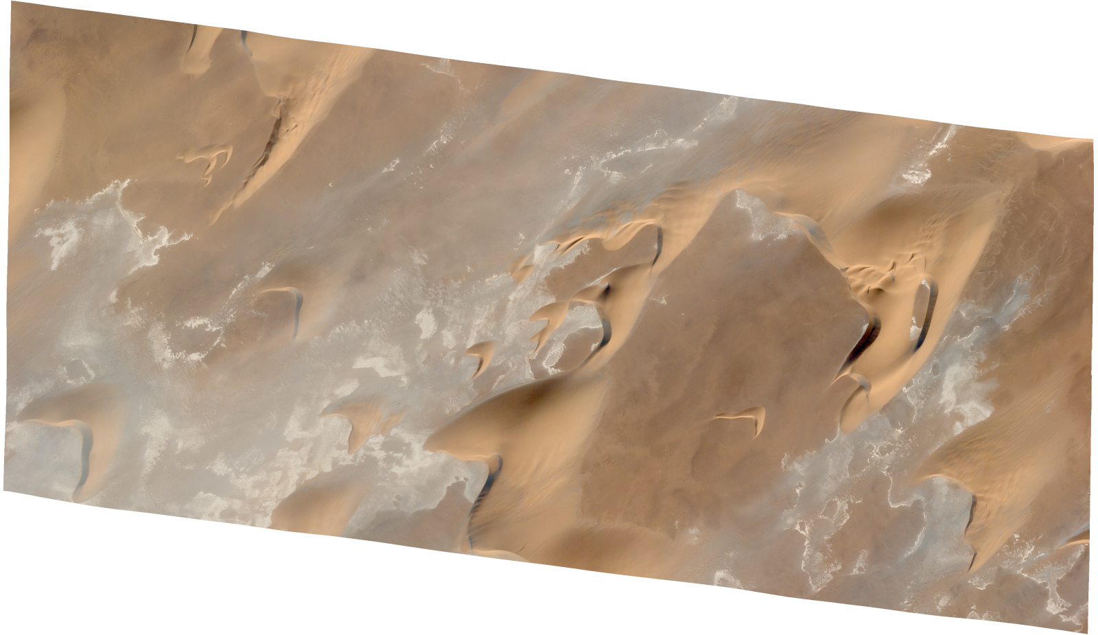
Resolution | 0.5 |
Product type | SSC_DEF_SC |
Cloud-Cover Percentage | 0.06 |
Start Date | 2021-12-18T08:46:13Z |
Stop Date | 2021-12-18T08:46:13Z |
Path | E018 |
Row | N17 |
Original Name | 20211218_084613_ssc17d1_0003_SkySatScene |
SSC_OPER_SSC_DEF_SC_20211218T084613_N17-177_E018-402_01
Download Product | Product Info | Browse
Resolution | 0.5 |
Product type | SSC_DEF_SC |
Cloud-Cover Percentage | 0 |
Start Date | 2021-12-18T08:46:13Z |
Stop Date | 2021-12-18T08:46:13Z |
Path | E018 |
Row | N17 |
Original Name | 20211218_084613_ssc17d1_0004_SkySatScene |
SSC_OPER_SSC_DEF_SC_20211218T084613_N17-192_E018-420_01
Download Product | Product Info | Browse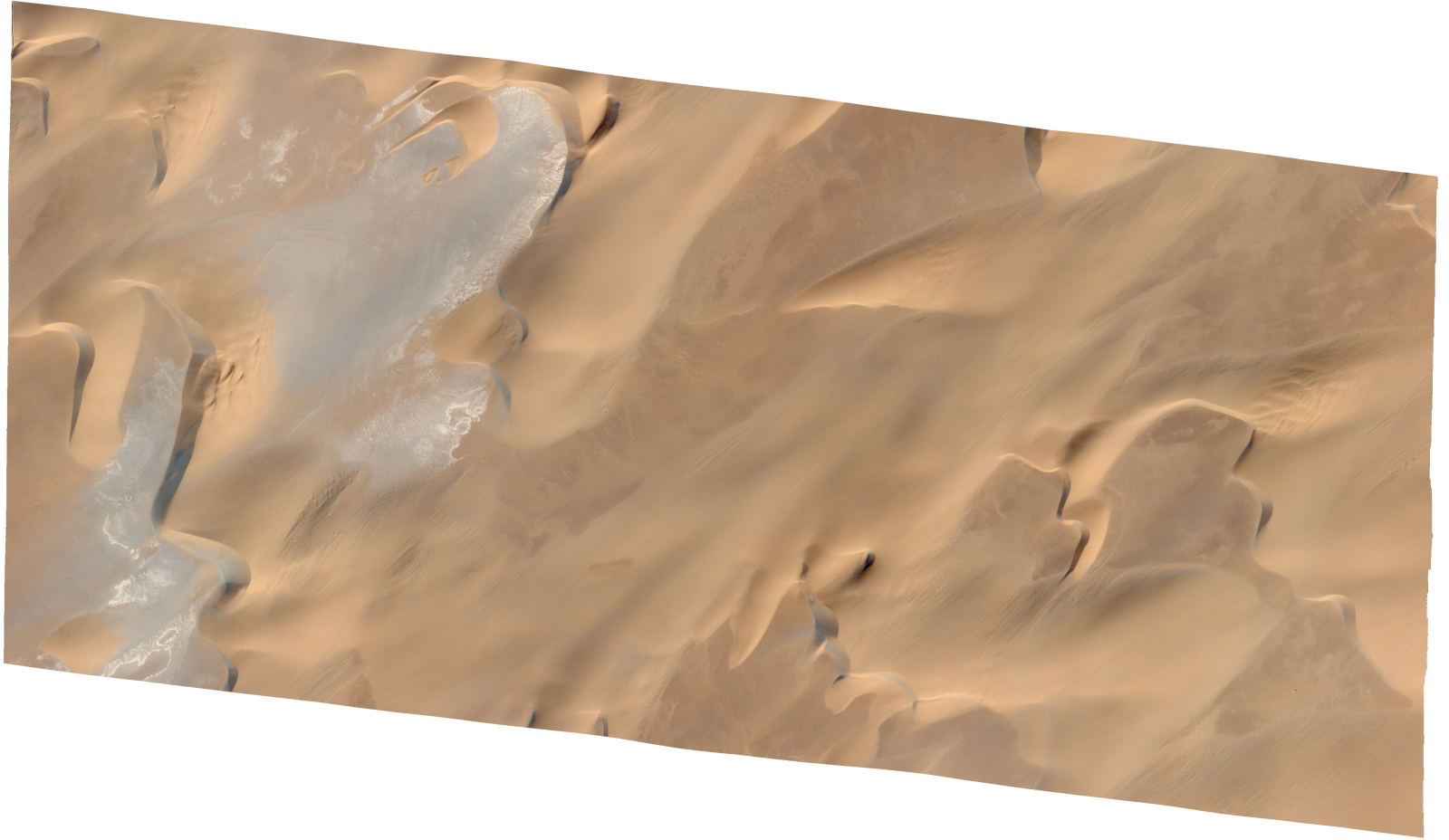
Resolution | 0.5 |
Product type | SSC_DEF_SC |
Cloud-Cover Percentage | 0.08 |
Start Date | 2021-12-18T08:46:13Z |
Stop Date | 2021-12-18T08:46:13Z |
Path | E018 |
Row | N17 |
Original Name | 20211218_084613_ssc17d2_0010_SkySatScene |
SSC_OPER_SSC_DEF_SC_20211219T122330_N17-240_E018-376_01
Download Product | Product Info | Browse
Resolution | 0.5 |
Product type | SSC_DEF_SC |
Cloud-Cover Percentage | 0 |
Start Date | 2021-12-19T12:23:30Z |
Stop Date | 2021-12-19T12:23:30Z |
Path | E018 |
Row | N17 |
Original Name | 20211219_122330_ssc10d2_0009_SkySatScene |
SSC_OPER_SSC_DEF_SC_20211219T122330_N17-233_E018-376_01
Download Product | Product Info | Browse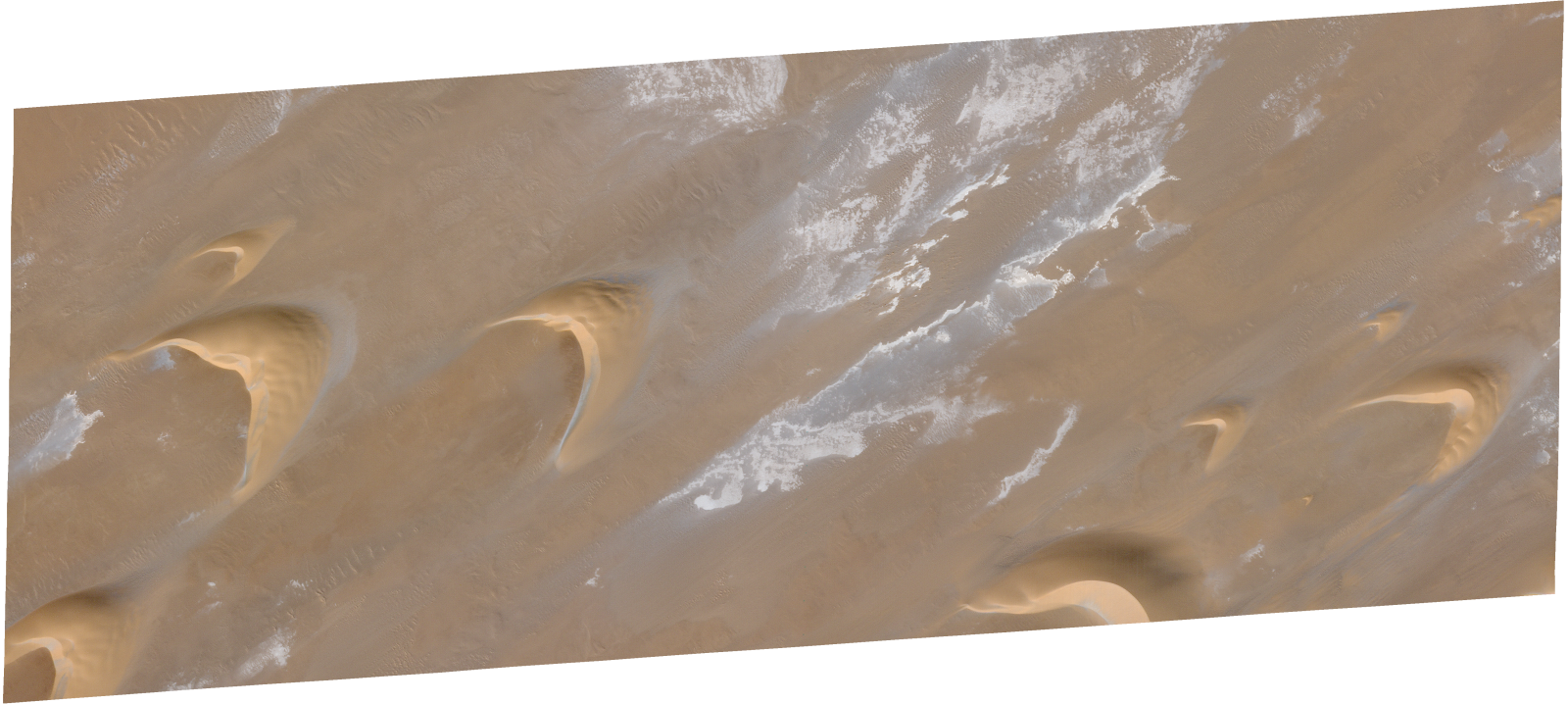
Resolution | 0.5 |
Product type | SSC_DEF_SC |
Cloud-Cover Percentage | 0 |
Start Date | 2021-12-19T12:23:30Z |
Stop Date | 2021-12-19T12:23:30Z |
Path | E018 |
Row | N17 |
Original Name | 20211219_122330_ssc10d2_0010_SkySatScene |
SSC_OPER_SSC_DEF_SC_20211222T065207_N17-225_E018-359_01
Download Product | Product Info | Browse
Resolution | 0.5 |
Product type | SSC_DEF_SC |
Cloud-Cover Percentage | 0 |
Start Date | 2021-12-22T06:52:07Z |
Stop Date | 2021-12-22T06:52:07Z |
Path | E018 |
Row | N17 |
Original Name | 20211222_065207_ssc19d3_0008_SkySatScene |
SSC_OPER_SSC_DEF_SC_20211222T065207_N17-215_E018-376_01
Download Product | Product Info | Browse
Resolution | 0.5 |
Product type | SSC_DEF_SC |
Cloud-Cover Percentage | 0 |
Start Date | 2021-12-22T06:52:07Z |
Stop Date | 2021-12-22T06:52:07Z |
Path | E018 |
Row | N17 |
Original Name | 20211222_065207_ssc19d2_0013_SkySatScene |
SSC_OPER_SSC_DEF_SC_20211219T122330_N17-234_E018-354_01
Download Product | Product Info | Browse
Resolution | 0.5 |
Product type | SSC_DEF_SC |
Cloud-Cover Percentage | 0 |
Start Date | 2021-12-19T12:23:30Z |
Stop Date | 2021-12-19T12:23:30Z |
Path | E018 |
Row | N17 |
Original Name | 20211219_122330_ssc10d3_0006_SkySatScene |
SSC_OPER_SSC_DEF_SC_20211222T065207_N17-239_E018-359_01
Download Product | Product Info | Browse
Resolution | 0.5 |
Product type | SSC_DEF_SC |
Cloud-Cover Percentage | 0 |
Start Date | 2021-12-22T06:52:07Z |
Stop Date | 2021-12-22T06:52:07Z |
Path | E018 |
Row | N17 |
Original Name | 20211222_065207_ssc19d3_0006_SkySatScene |
SSC_OPER_SSC_DEF_SC_20211219T080428_N17-225_E018-349_01
Download Product | Product Info | Browse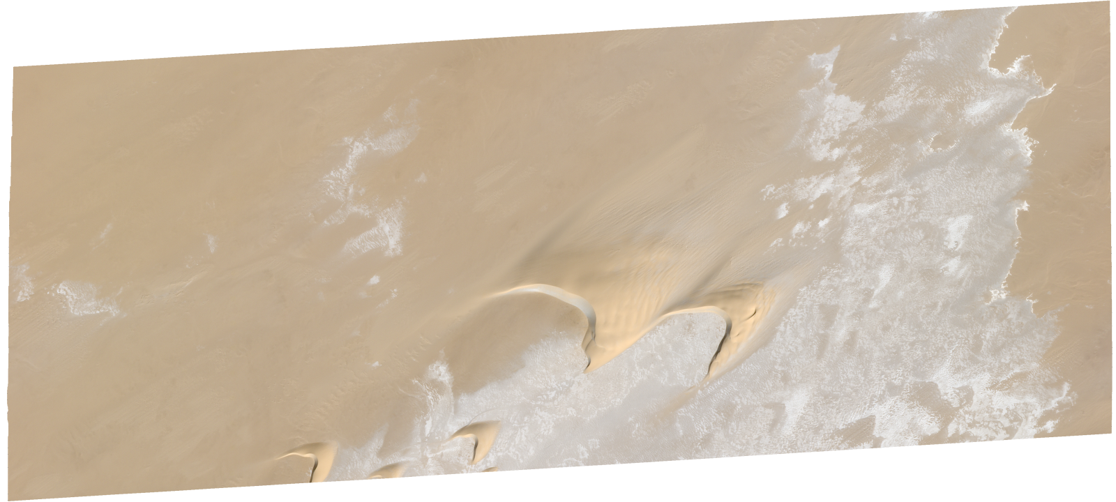
Resolution | 0.5 |
Product type | SSC_DEF_SC |
Cloud-Cover Percentage | 0 |
Start Date | 2021-12-19T08:04:28Z |
Stop Date | 2021-12-19T08:04:28Z |
Path | E018 |
Row | N17 |
Original Name | 20211219_080428_ssc19d1_0008_SkySatScene |
SSC_OPER_SSC_DEF_SC_20211222T065207_N17-235_E018-376_01
Download Product | Product Info | Browse
Resolution | 0.5 |
Product type | SSC_DEF_SC |
Cloud-Cover Percentage | 0 |
Start Date | 2021-12-22T06:52:07Z |
Stop Date | 2021-12-22T06:52:07Z |
Path | E018 |
Row | N17 |
Original Name | 20211222_065207_ssc19d2_0010_SkySatScene |
SSC_OPER_SSC_DEF_SC_20211222T065207_N17-219_E018-359_01
Download Product | Product Info | Browse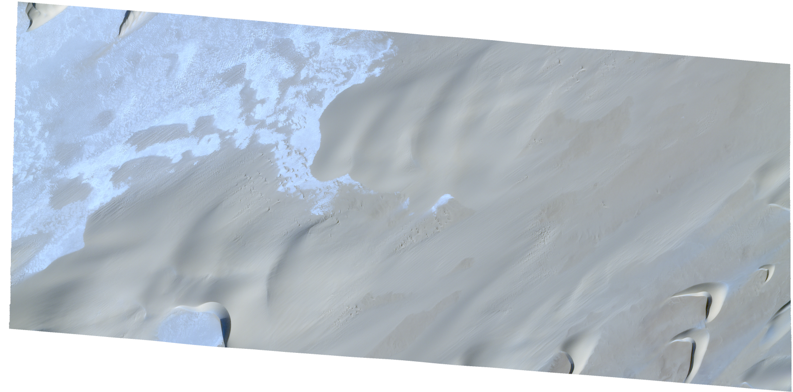
Resolution | 0.5 |
Product type | SSC_DEF_SC |
Cloud-Cover Percentage | 0 |
Start Date | 2021-12-22T06:52:07Z |
Stop Date | 2021-12-22T06:52:07Z |
Path | E018 |
Row | N17 |
Original Name | 20211222_065207_ssc19d3_0009_SkySatScene |
SSC_OPER_SSC_DEF_SC_20211219T122330_N17-219_E018-354_01
Download Product | Product Info | Browse
Resolution | 0.5 |
Product type | SSC_DEF_SC |
Cloud-Cover Percentage | 0 |
Start Date | 2021-12-19T12:23:30Z |
Stop Date | 2021-12-19T12:23:30Z |
Path | E018 |
Row | N17 |
Original Name | 20211219_122330_ssc10d3_0008_SkySatScene |
SSC_OPER_SSC_DEF_SC_20211219T122330_N17-225_E018-376_01
Download Product | Product Info | Browse
Resolution | 0.5 |
Product type | SSC_DEF_SC |
Cloud-Cover Percentage | 0 |
Start Date | 2021-12-19T12:23:30Z |
Stop Date | 2021-12-19T12:23:30Z |
Path | E018 |
Row | N17 |
Original Name | 20211219_122330_ssc10d2_0011_SkySatScene |
SSC_OPER_SSC_DEF_SC_20211222T065207_N17-232_E018-359_01
Download Product | Product Info | Browse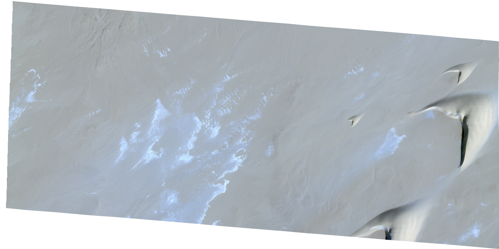
Resolution | 0.5 |
Product type | SSC_DEF_SC |
Cloud-Cover Percentage | 0 |
Start Date | 2021-12-22T06:52:07Z |
Stop Date | 2021-12-22T06:52:07Z |
Path | E018 |
Row | N17 |
Original Name | 20211222_065207_ssc19d3_0007_SkySatScene |
SSC_OPER_SSC_DEF_SC_20211219T080428_N17-238_E018-349_01
Download Product | Product Info | Browse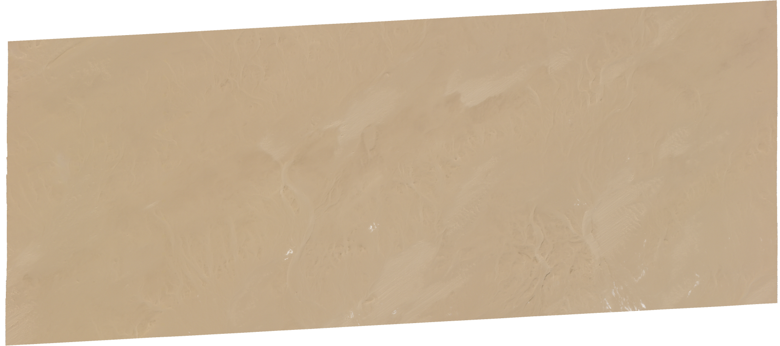
Resolution | 0.5 |
Product type | SSC_DEF_SC |
Cloud-Cover Percentage | 0 |
Start Date | 2021-12-19T08:04:28Z |
Stop Date | 2021-12-19T08:04:28Z |
Path | E018 |
Row | N17 |
Original Name | 20211219_080428_ssc19d1_0006_SkySatScene |
SSC_OPER_SSC_DEF_SC_20211219T122330_N17-226_E018-354_01
Download Product | Product Info | Browse
Resolution | 0.5 |
Product type | SSC_DEF_SC |
Cloud-Cover Percentage | 0 |
Start Date | 2021-12-19T12:23:30Z |
Stop Date | 2021-12-19T12:23:30Z |
Path | E018 |
Row | N17 |
Original Name | 20211219_122330_ssc10d3_0007_SkySatScene |
SSC_OPER_SSC_DEF_SC_20211219T080428_N17-231_E018-349_01
Download Product | Product Info | Browse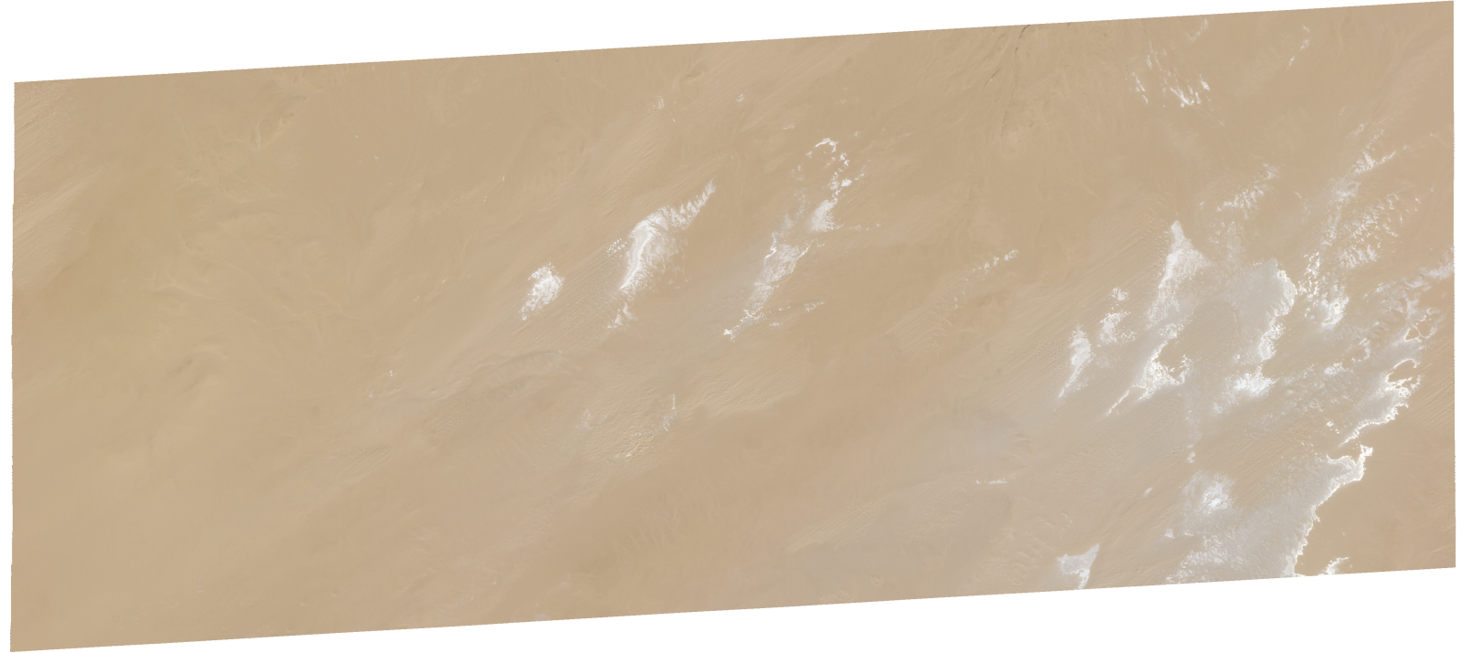
Resolution | 0.5 |
Product type | SSC_DEF_SC |
Cloud-Cover Percentage | 0 |
Start Date | 2021-12-19T08:04:28Z |
Stop Date | 2021-12-19T08:04:28Z |
Path | E018 |
Row | N17 |
Original Name | 20211219_080428_ssc19d1_0007_SkySatScene |
SSC_OPER_SSC_DEF_SC_20211219T122330_N17-242_E018-354_01
Download Product | Product Info | Browse
Resolution | 0.5 |
Product type | SSC_DEF_SC |
Cloud-Cover Percentage | 0 |
Start Date | 2021-12-19T12:23:30Z |
Stop Date | 2021-12-19T12:23:30Z |
Path | E018 |
Row | N17 |
Original Name | 20211219_122330_ssc10d3_0005_SkySatScene |
SSC_OPER_SSC_DEF_SC_20211222T065207_N17-228_E018-376_01
Download Product | Product Info | Browse
Resolution | 0.5 |
Product type | SSC_DEF_SC |
Cloud-Cover Percentage | 0 |
Start Date | 2021-12-22T06:52:07Z |
Stop Date | 2021-12-22T06:52:07Z |
Path | E018 |
Row | N17 |
Original Name | 20211222_065207_ssc19d2_0011_SkySatScene |
SSC_OPER_SSC_DEF_SC_20211222T065207_N17-222_E018-376_01
Download Product | Product Info | Browse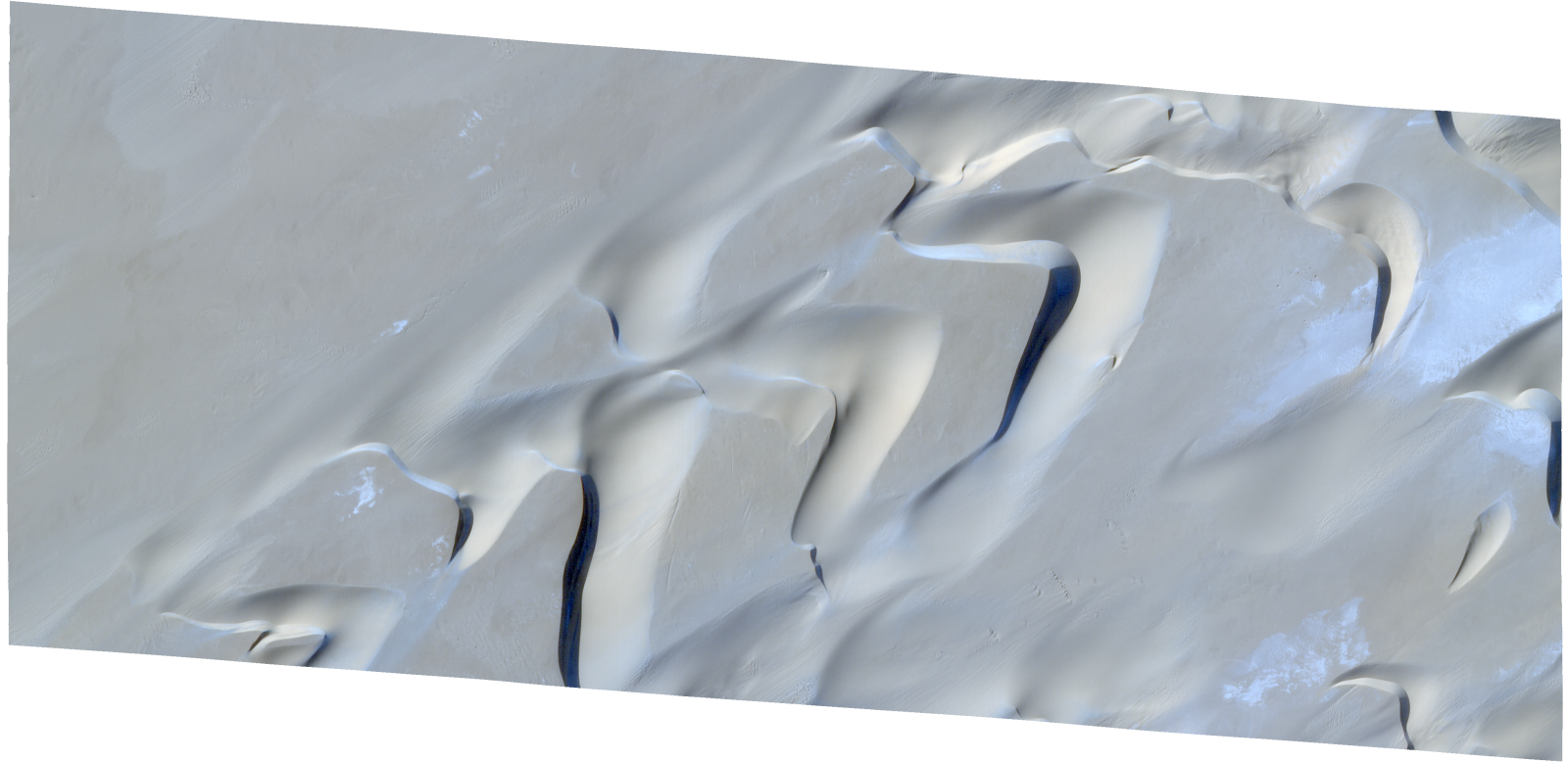
Resolution | 0.5 |
Product type | SSC_DEF_SC |
Cloud-Cover Percentage | 0 |
Start Date | 2021-12-22T06:52:07Z |
Stop Date | 2021-12-22T06:52:07Z |
Path | E018 |
Row | N17 |
Original Name | 20211222_065207_ssc19d2_0012_SkySatScene |
SSC_OPER_SSC_DEF_SC_20211219T080428_N17-218_E018-349_01
Download Product | Product Info | Browse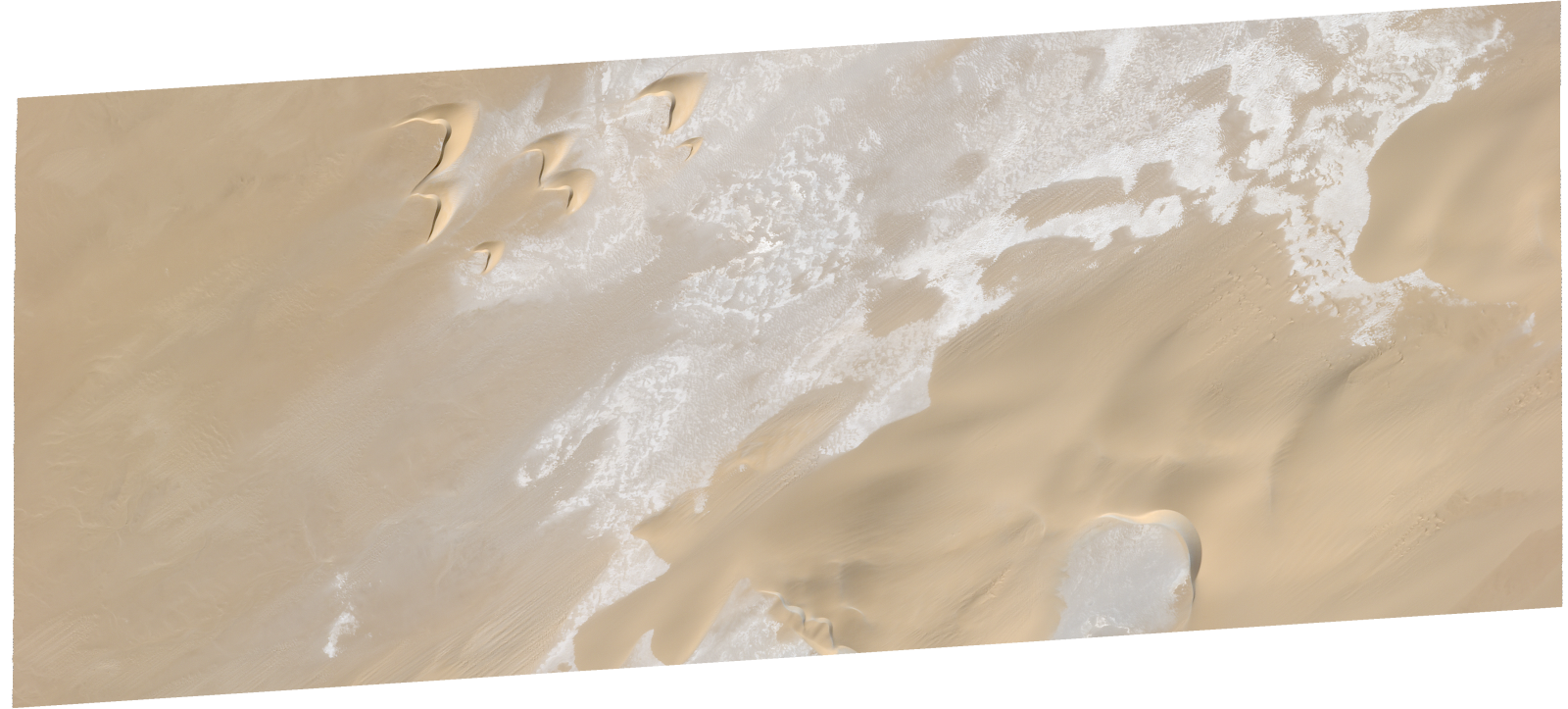
Resolution | 0.5 |
Product type | SSC_DEF_SC |
Cloud-Cover Percentage | 0 |
Start Date | 2021-12-19T08:04:28Z |
Stop Date | 2021-12-19T08:04:28Z |
Path | E018 |
Row | N17 |
Original Name | 20211219_080428_ssc19d1_0009_SkySatScene |
SSC_OPER_SSC_DEF_SC_20211219T122330_N17-218_E018-376_01
Download Product | Product Info | Browse
Resolution | 0.5 |
Product type | SSC_DEF_SC |
Cloud-Cover Percentage | 0 |
Start Date | 2021-12-19T12:23:30Z |
Stop Date | 2021-12-19T12:23:30Z |
Path | E018 |
Row | N17 |
Original Name | 20211219_122330_ssc10d2_0012_SkySatScene |
SSC_OPER_SSC_DEF_SC_20211222T065207_N17-241_E018-376_01
Download Product | Product Info | Browse
Resolution | 0.5 |
Product type | SSC_DEF_SC |
Cloud-Cover Percentage | 0 |
Start Date | 2021-12-22T06:52:07Z |
Stop Date | 2021-12-22T06:52:07Z |
Path | E018 |
Row | N17 |
Original Name | 20211222_065207_ssc19d2_0009_SkySatScene |
SSC_OPER_SSC_DEF_SC_20220129T093626_N17-167_E018-420_01
Download Product | Product Info | Browse
Resolution | 0.5 |
Product type | SSC_DEF_SC |
Cloud-Cover Percentage | 0.01 |
Start Date | 2022-01-29T09:36:26Z |
Stop Date | 2022-01-29T09:36:26Z |
Path | E018 |
Row | N17 |
Original Name | 20220129_093626_ssc1d2_0018_SkySatScene |
SSC_OPER_SSC_DEF_SC_20220129T093626_N17-159_E018-420_01
Download Product | Product Info | Browse
Resolution | 0.5 |
Product type | SSC_DEF_SC |
Cloud-Cover Percentage | 0.02 |
Start Date | 2022-01-29T09:36:26Z |
Stop Date | 2022-01-29T09:36:26Z |
Path | E018 |
Row | N17 |
Original Name | 20220129_093626_ssc1d2_0019_SkySatScene |
SSC_OPER_SSC_DEF_SC_20220129T093626_N17-165_E018-401_01
Download Product | Product Info | Browse
Resolution | 0.5 |
Product type | SSC_DEF_SC |
Cloud-Cover Percentage | 0 |
Start Date | 2022-01-29T09:36:26Z |
Stop Date | 2022-01-29T09:36:26Z |
Path | E018 |
Row | N17 |
Original Name | 20220129_093626_ssc1d3_0015_SkySatScene |
SSC_OPER_SSC_DEF_SC_20220102T065652_N17-186_E018-401_01
Download Product | Product Info | Browse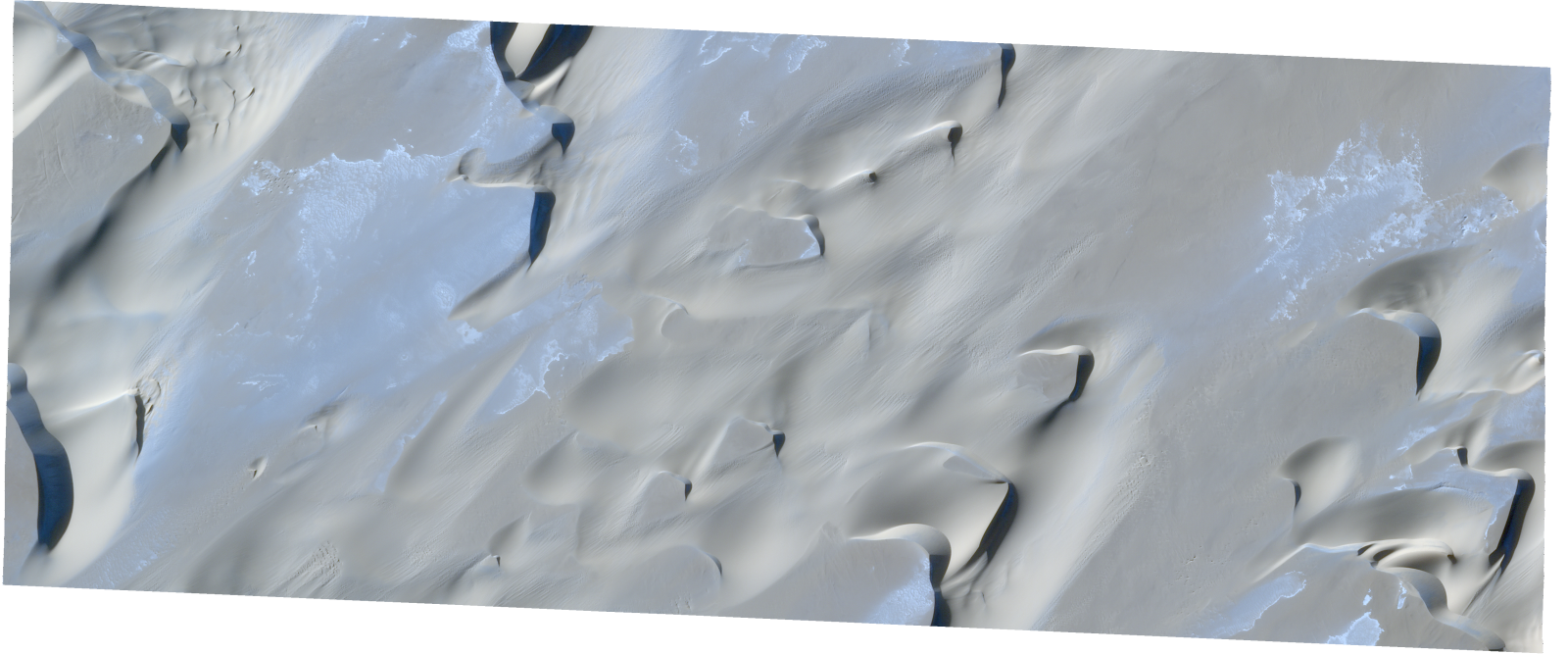
Resolution | 0.5 |
Product type | SSC_DEF_SC |
Cloud-Cover Percentage | 0.03 |
Start Date | 2022-01-02T06:56:52Z |
Stop Date | 2022-01-02T06:56:52Z |
Path | E018 |
Row | N17 |
Original Name | 20220102_065652_ssc14d3_0013_SkySatScene |
SSC_OPER_SSC_DEF_SC_20220115T151812_N17-168_E018-420_01
Download Product | Product Info | Browse
Resolution | 0.5 |
Product type | SSC_DEF_SC |
Cloud-Cover Percentage | 0 |
Start Date | 2022-01-15T15:18:12Z |
Stop Date | 2022-01-15T15:18:12Z |
Path | E018 |
Row | N17 |
Original Name | 20220115_151812_ssc15d2_0022_SkySatScene |
SSC_OPER_SSC_DEF_SC_20220102T065652_N17-193_E018-401_01
Download Product | Product Info | Browse
Resolution | 0.5 |
Product type | SSC_DEF_SC |
Cloud-Cover Percentage | 0.01 |
Start Date | 2022-01-02T06:56:52Z |
Stop Date | 2022-01-02T06:56:52Z |
Path | E018 |
Row | N17 |
Original Name | 20220102_065652_ssc14d3_0012_SkySatScene |
SSC_OPER_SSC_DEF_CO_20220129T093626_N17-218_E018-421_01
Download Product | Product Info | Browse
Resolution | 0.5 |
Product type | SSC_DEF_CO |
Cloud-Cover Percentage | 0.02 |
Start Date | 2022-01-29T09:36:26Z |
Stop Date | 2022-01-29T09:36:26Z |
Path | E018 |
Row | N17 |
Original Name | 20220129_093626_ssc1_u0001_SkySatCollect |
SSC_OPER_SSC_DEF_SC_20220102T065652_N17-167_E018-401_01
Download Product | Product Info | Browse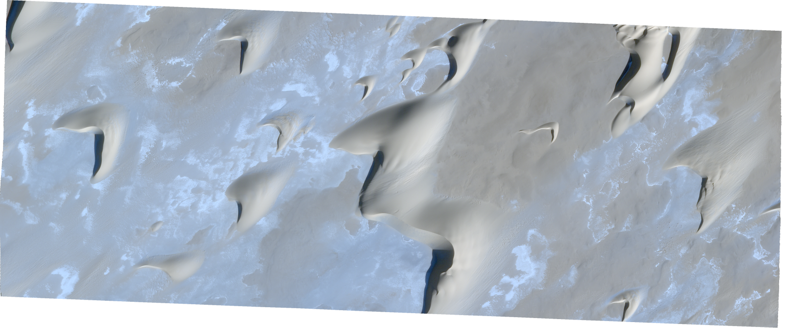
Resolution | 0.5 |
Product type | SSC_DEF_SC |
Cloud-Cover Percentage | 0.01 |
Start Date | 2022-01-02T06:56:52Z |
Stop Date | 2022-01-02T06:56:52Z |
Path | E018 |
Row | N17 |
Original Name | 20220102_065652_ssc14d3_0016_SkySatScene |
SSC_OPER_SSC_DEF_SC_20220102T065652_N17-180_E018-401_01
Download Product | Product Info | Browse
Resolution | 0.5 |
Product type | SSC_DEF_SC |
Cloud-Cover Percentage | 0 |
Start Date | 2022-01-02T06:56:52Z |
Stop Date | 2022-01-02T06:56:52Z |
Path | E018 |
Row | N17 |
Original Name | 20220102_065652_ssc14d3_0014_SkySatScene |
SSC_OPER_SSC_DEF_SC_20220102T065652_N17-160_E018-401_01
Download Product | Product Info | Browse
Resolution | 0.5 |
Product type | SSC_DEF_SC |
Cloud-Cover Percentage | 0.11 |
Start Date | 2022-01-02T06:56:52Z |
Stop Date | 2022-01-02T06:56:52Z |
Path | E018 |
Row | N17 |
Original Name | 20220102_065652_ssc14d3_0017_SkySatScene |
SSC_OPER_SSC_DEF_SC_20220102T065652_N17-173_E018-401_01
Download Product | Product Info | Browse
Resolution | 0.5 |
Product type | SSC_DEF_SC |
Cloud-Cover Percentage | 0 |
Start Date | 2022-01-02T06:56:52Z |
Stop Date | 2022-01-02T06:56:52Z |
Path | E018 |
Row | N17 |
Original Name | 20220102_065652_ssc14d3_0015_SkySatScene |
SSC_OPER_SSC_DEF_SC_20220102T065652_N17-183_E018-420_01
Download Product | Product Info | Browse
Resolution | 0.5 |
Product type | SSC_DEF_SC |
Cloud-Cover Percentage | 0 |
Start Date | 2022-01-02T06:56:52Z |
Stop Date | 2022-01-02T06:56:52Z |
Path | E018 |
Row | N17 |
Original Name | 20220102_065652_ssc14d2_0017_SkySatScene |
SSC_OPER_SSC_DEF_SC_20220115T151812_N17-163_E018-401_01
Download Product | Product Info | Browse
Resolution | 0.5 |
Product type | SSC_DEF_SC |
Cloud-Cover Percentage | 0.01 |
Start Date | 2022-01-15T15:18:12Z |
Stop Date | 2022-01-15T15:18:12Z |
Path | E018 |
Row | N17 |
Original Name | 20220115_151812_ssc15d3_0019_SkySatScene |
SSC_OPER_SSC_DEF_SC_20220102T065652_N17-177_E018-420_01
Download Product | Product Info | Browse
Resolution | 0.5 |
Product type | SSC_DEF_SC |
Cloud-Cover Percentage | 0 |
Start Date | 2022-01-02T06:56:52Z |
Stop Date | 2022-01-02T06:56:52Z |
Path | E018 |
Row | N17 |
Original Name | 20220102_065652_ssc14d2_0018_SkySatScene |
SSC_OPER_SSC_DEF_SC_20220115T151812_N17-169_E018-401_01
Download Product | Product Info | Browse
Resolution | 0.5 |
Product type | SSC_DEF_SC |
Cloud-Cover Percentage | 0.01 |
Start Date | 2022-01-15T15:18:12Z |
Stop Date | 2022-01-15T15:18:12Z |
Path | E018 |
Row | N17 |
Original Name | 20220115_151812_ssc15d3_0018_SkySatScene |
SSC_OPER_SSC_DEF_SC_20220115T151812_N17-162_E018-420_01
Download Product | Product Info | Browse
Resolution | 0.5 |
Product type | SSC_DEF_SC |
Cloud-Cover Percentage | 0.01 |
Start Date | 2022-01-15T15:18:12Z |
Stop Date | 2022-01-15T15:18:12Z |
Path | E018 |
Row | N17 |
Original Name | 20220115_151812_ssc15d2_0023_SkySatScene |
SSC_OPER_SSC_DEF_SC_20220102T065652_N17-190_E018-420_01
Download Product | Product Info | Browse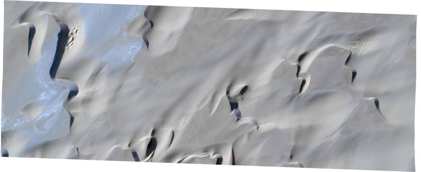
Resolution | 0.5 |
Product type | SSC_DEF_SC |
Cloud-Cover Percentage | 0.02 |
Start Date | 2022-01-02T06:56:52Z |
Stop Date | 2022-01-02T06:56:52Z |
Path | E018 |
Row | N17 |
Original Name | 20220102_065652_ssc14d2_0016_SkySatScene |
SSC_OPER_SSC_DEF_SC_20220102T065652_N17-163_E018-420_01
Download Product | Product Info | Browse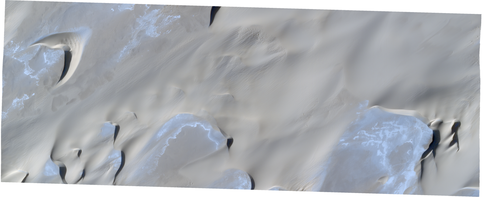
Resolution | 0.5 |
Product type | SSC_DEF_SC |
Cloud-Cover Percentage | 0.05 |
Start Date | 2022-01-02T06:56:52Z |
Stop Date | 2022-01-02T06:56:52Z |
Path | E018 |
Row | N17 |
Original Name | 20220102_065652_ssc14d2_0020_SkySatScene |
SSC_OPER_SSC_DEF_SC_20220102T065652_N17-170_E018-420_01
Download Product | Product Info | Browse
Resolution | 0.5 |
Product type | SSC_DEF_SC |
Cloud-Cover Percentage | 0 |
Start Date | 2022-01-02T06:56:52Z |
Stop Date | 2022-01-02T06:56:52Z |
Path | E018 |
Row | N17 |
Original Name | 20220102_065652_ssc14d2_0019_SkySatScene |
SSC_OPER_SSC_DEF_SC_20220101T070343_N17-240_E018-393_01
Download Product | Product Info | Browse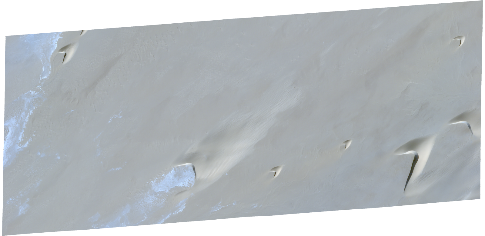
Resolution | 0.5 |
Product type | SSC_DEF_SC |
Cloud-Cover Percentage | 0 |
Start Date | 2022-01-01T07:03:43Z |
Stop Date | 2022-01-01T07:03:43Z |
Path | E018 |
Row | N17 |
Original Name | 20220101_070343_ssc15d1_0006_SkySatScene |
SSC_OPER_SSC_DEF_SC_20220101T070343_N17-243_E018-375_01
Download Product | Product Info | Browse
Resolution | 0.5 |
Product type | SSC_DEF_SC |
Cloud-Cover Percentage | 0 |
Start Date | 2022-01-01T07:03:43Z |
Stop Date | 2022-01-01T07:03:43Z |
Path | E018 |
Row | N17 |
Original Name | 20220101_070343_ssc15d2_0009_SkySatScene |
SSC_OPER_SSC_DEF_SC_20220116T121940_N17-238_E018-374_01
Download Product | Product Info | Browse
Resolution | 0.5 |
Product type | SSC_DEF_SC |
Cloud-Cover Percentage | 0 |
Start Date | 2022-01-16T12:19:40Z |
Stop Date | 2022-01-16T12:19:40Z |
Path | E018 |
Row | N17 |
Original Name | 20220116_121940_ssc6d2_0005_SkySatScene |
SSC_OPER_SSC_DEF_SC_20220130T085712_N17-229_E018-377_01
Download Product | Product Info | Browse
Resolution | 0.5 |
Product type | SSC_DEF_SC |
Cloud-Cover Percentage | 0 |
Start Date | 2022-01-30T08:57:12Z |
Stop Date | 2022-01-30T08:57:12Z |
Path | E018 |
Row | N17 |
Original Name | 20220130_085712_ssc13d2_0010_SkySatScene |
SSC_OPER_SSC_DEF_SC_20220116T121940_N17-236_E018-392_01
Download Product | Product Info | Browse
Resolution | 0.5 |
Product type | SSC_DEF_SC |
Cloud-Cover Percentage | 0 |
Start Date | 2022-01-16T12:19:40Z |
Stop Date | 2022-01-16T12:19:40Z |
Path | E018 |
Row | N17 |
Original Name | 20220116_121940_ssc6d3_0009_SkySatScene |
SSC_OPER_SSC_DEF_SC_20220101T070343_N17-236_E018-375_01
Download Product | Product Info | Browse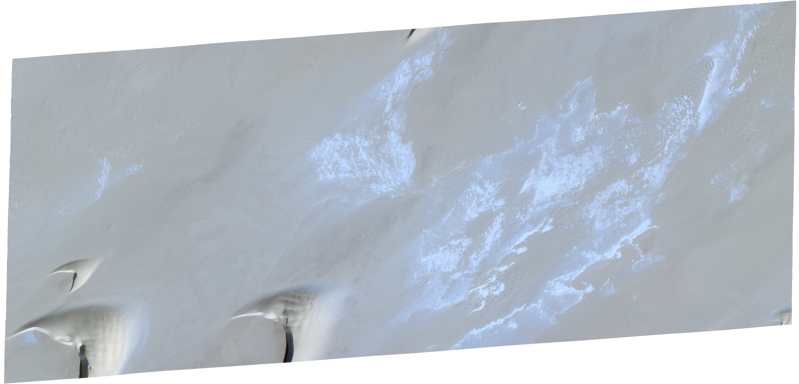
Resolution | 0.5 |
Product type | SSC_DEF_SC |
Cloud-Cover Percentage | 0 |
Start Date | 2022-01-01T07:03:43Z |
Stop Date | 2022-01-01T07:03:43Z |
Path | E018 |
Row | N17 |
Original Name | 20220101_070343_ssc15d2_0010_SkySatScene |
SSC_OPER_SSC_DEF_SC_20220130T085712_N17-212_E018-377_01
Download Product | Product Info | Browse
Resolution | 0.5 |
Product type | SSC_DEF_SC |
Cloud-Cover Percentage | 0 |
Start Date | 2022-01-30T08:57:12Z |
Stop Date | 2022-01-30T08:57:12Z |
Path | E018 |
Row | N17 |
Original Name | 20220130_085712_ssc13d2_0012_SkySatScene |
SSC_OPER_SSC_DEF_SC_20220101T070343_N17-217_E018-358_01
Download Product | Product Info | Browse
Resolution | 0.5 |
Product type | SSC_DEF_SC |
Cloud-Cover Percentage | 0 |
Start Date | 2022-01-01T07:03:43Z |
Stop Date | 2022-01-01T07:03:43Z |
Path | E018 |
Row | N17 |
Original Name | 20220101_070343_ssc15d3_0009_SkySatScene |
SSC_OPER_SSC_DEF_SC_20220116T121940_N17-218_E018-374_01
Download Product | Product Info | Browse
Resolution | 0.5 |
Product type | SSC_DEF_SC |
Cloud-Cover Percentage | 0 |
Start Date | 2022-01-16T12:19:40Z |
Stop Date | 2022-01-16T12:19:40Z |
Path | E018 |
Row | N17 |
Original Name | 20220116_121940_ssc6d2_0008_SkySatScene |
SSC_OPER_SSC_DEF_SC_20220130T085712_N17-243_E018-356_01
Download Product | Product Info | Browse
Resolution | 0.5 |
Product type | SSC_DEF_SC |
Cloud-Cover Percentage | 0 |
Start Date | 2022-01-30T08:57:12Z |
Stop Date | 2022-01-30T08:57:12Z |
Path | E018 |
Row | N17 |
Original Name | 20220130_085712_ssc13d3_0005_SkySatScene |
SSC_OPER_SSC_DEF_SC_20220130T085740_N17-213_E018-350_01
Download Product | Product Info | Browse
Resolution | 0.5 |
Product type | SSC_DEF_SC |
Cloud-Cover Percentage | 0 |
Start Date | 2022-01-30T08:57:40Z |
Stop Date | 2022-01-30T08:57:40Z |
Path | E018 |
Row | N17 |
Original Name | 20220130_085740_ssc13d1_0010_SkySatScene |
SSC_OPER_SSC_DEF_SC_20220101T085650_N17-223_E018-349_01
Download Product | Product Info | Browse
Resolution | 0.5 |
Product type | SSC_DEF_SC |
Cloud-Cover Percentage | 0.25 |
Start Date | 2022-01-01T08:56:50Z |
Stop Date | 2022-01-01T08:56:50Z |
Path | E018 |
Row | N17 |
Original Name | 20220101_085650_ssc13d1_0008_SkySatScene |
SSC_OPER_SSC_DEF_SC_20220101T070343_N17-227_E018-393_01
Download Product | Product Info | Browse
Resolution | 0.5 |
Product type | SSC_DEF_SC |
Cloud-Cover Percentage | 0.03 |
Start Date | 2022-01-01T07:03:43Z |
Stop Date | 2022-01-01T07:03:43Z |
Path | E018 |
Row | N17 |
Original Name | 20220101_070343_ssc15d1_0008_SkySatScene |
SSC_OPER_SSC_DEF_SC_20220101T070343_N17-233_E018-393_01
Download Product | Product Info | Browse
Resolution | 0.5 |
Product type | SSC_DEF_SC |
Cloud-Cover Percentage | 0 |
Start Date | 2022-01-01T07:03:43Z |
Stop Date | 2022-01-01T07:03:43Z |
Path | E018 |
Row | N17 |
Original Name | 20220101_070343_ssc15d1_0007_SkySatScene |
SSC_OPER_SSC_DEF_SC_20220129T093626_N17-209_E018-420_01
Download Product | Product Info | Browse
Resolution | 0.5 |
Product type | SSC_DEF_SC |
Cloud-Cover Percentage | 0 |
Start Date | 2022-01-29T09:36:26Z |
Stop Date | 2022-01-29T09:36:26Z |
Path | E018 |
Row | N17 |
Original Name | 20220129_093626_ssc1d2_0013_SkySatScene |
SSC_OPER_SSC_DEF_SC_20220101T085650_N17-237_E018-349_01
Download Product | Product Info | Browse
Resolution | 0.5 |
Product type | SSC_DEF_SC |
Cloud-Cover Percentage | 0 |
Start Date | 2022-01-01T08:56:50Z |
Stop Date | 2022-01-01T08:56:50Z |
Path | E018 |
Row | N17 |
Original Name | 20220101_085650_ssc13d1_0006_SkySatScene |
SSC_OPER_SSC_DEF_SC_20220116T121940_N17-230_E018-357_01
Download Product | Product Info | Browse
Resolution | 0.5 |
Product type | SSC_DEF_SC |
Cloud-Cover Percentage | 0 |
Start Date | 2022-01-16T12:19:40Z |
Stop Date | 2022-01-16T12:19:40Z |
Path | E018 |
Row | N17 |
Original Name | 20220116_121940_ssc6d1_0010_SkySatScene |
SSC_OPER_SSC_DEF_SC_20220129T093714_N17-207_E018-396_01
Download Product | Product Info | Browse
Resolution | 0.5 |
Product type | SSC_DEF_SC |
Cloud-Cover Percentage | 0 |
Start Date | 2022-01-29T09:37:14Z |
Stop Date | 2022-01-29T09:37:14Z |
Path | E018 |
Row | N17 |
Original Name | 20220129_093714_ssc1d1_0010_SkySatScene |
SSC_OPER_SSC_DEF_SC_20220130T085712_N17-235_E018-356_01
Download Product | Product Info | Browse
Resolution | 0.5 |
Product type | SSC_DEF_SC |
Cloud-Cover Percentage | 0 |
Start Date | 2022-01-30T08:57:12Z |
Stop Date | 2022-01-30T08:57:12Z |
Path | E018 |
Row | N17 |
Original Name | 20220130_085712_ssc13d3_0006_SkySatScene |
SSC_OPER_SSC_DEF_SC_20220116T121940_N17-216_E018-391_01
Download Product | Product Info | Browse
Resolution | 0.5 |
Product type | SSC_DEF_SC |
Cloud-Cover Percentage | 0 |
Start Date | 2022-01-16T12:19:40Z |
Stop Date | 2022-01-16T12:19:40Z |
Path | E018 |
Row | N17 |
Original Name | 20220116_121940_ssc6d3_0012_SkySatScene |
SSC_OPER_SSC_DEF_CO_20220116T121940_N17-214_E018-374_01
Download Product | Product Info | Browse
Resolution | 0.5 |
Product type | SSC_DEF_CO |
Cloud-Cover Percentage | 0 |
Start Date | 2022-01-16T12:19:40Z |
Stop Date | 2022-01-16T12:19:40Z |
Path | E018 |
Row | N17 |
Original Name | 20220116_121940_ssc6_u0001_SkySatCollect |
SSC_OPER_SSC_DEF_SC_20220101T070343_N17-229_E018-375_01
Download Product | Product Info | Browse
Resolution | 0.5 |
Product type | SSC_DEF_SC |
Cloud-Cover Percentage | 0 |
Start Date | 2022-01-01T07:03:43Z |
Stop Date | 2022-01-01T07:03:43Z |
Path | E018 |
Row | N17 |
Original Name | 20220101_070343_ssc15d2_0011_SkySatScene |
SSC_OPER_SSC_DEF_SC_20220116T072415_N17-218_E018-348_01
Download Product | Product Info | Browse
Resolution | 0.5 |
Product type | SSC_DEF_SC |
Cloud-Cover Percentage | 0.01 |
Start Date | 2022-01-16T07:24:15Z |
Stop Date | 2022-01-16T07:24:15Z |
Path | E018 |
Row | N17 |
Original Name | 20220116_072415_ssc17d3_0014_SkySatScene |
SSC_OPER_SSC_DEF_SC_20220116T121940_N17-216_E018-356_01
Download Product | Product Info | Browse
Resolution | 0.5 |
Product type | SSC_DEF_SC |
Cloud-Cover Percentage | 0 |
Start Date | 2022-01-16T12:19:40Z |
Stop Date | 2022-01-16T12:19:40Z |
Path | E018 |
Row | N17 |
Original Name | 20220116_121940_ssc6d1_0012_SkySatScene |
SSC_OPER_SSC_DEF_SC_20220116T121940_N17-223_E018-357_01
Download Product | Product Info | Browse
Resolution | 0.5 |
Product type | SSC_DEF_SC |
Cloud-Cover Percentage | 0 |
Start Date | 2022-01-16T12:19:40Z |
Stop Date | 2022-01-16T12:19:40Z |
Path | E018 |
Row | N17 |
Original Name | 20220116_121940_ssc6d1_0011_SkySatScene |
SSC_OPER_SSC_DEF_SC_20220129T093714_N17-224_E018-397_01
Download Product | Product Info | Browse
Resolution | 0.5 |
Product type | SSC_DEF_SC |
Cloud-Cover Percentage | 0.03 |
Start Date | 2022-01-29T09:37:14Z |
Stop Date | 2022-01-29T09:37:14Z |
Path | E018 |
Row | N17 |
Original Name | 20220129_093714_ssc1d1_0008_SkySatScene |
SSC_OPER_SSC_DEF_SC_20220116T121940_N17-223_E018-392_01
Download Product | Product Info | Browse
Resolution | 0.5 |
Product type | SSC_DEF_SC |
Cloud-Cover Percentage | 0 |
Start Date | 2022-01-16T12:19:40Z |
Stop Date | 2022-01-16T12:19:40Z |
Path | E018 |
Row | N17 |
Original Name | 20220116_121940_ssc6d3_0011_SkySatScene |
SSC_OPER_SSC_DEF_SC_20220116T072415_N17-232_E018-348_01
Download Product | Product Info | Browse
Resolution | 0.5 |
Product type | SSC_DEF_SC |
Cloud-Cover Percentage | 0 |
Start Date | 2022-01-16T07:24:15Z |
Stop Date | 2022-01-16T07:24:15Z |
Path | E018 |
Row | N17 |
Original Name | 20220116_072415_ssc17d3_0016_SkySatScene |
SSC_OPER_SSC_DEF_SC_20220129T093626_N17-215_E018-401_01
Download Product | Product Info | Browse
Resolution | 0.5 |
Product type | SSC_DEF_SC |
Cloud-Cover Percentage | 0 |
Start Date | 2022-01-29T09:36:26Z |
Stop Date | 2022-01-29T09:36:26Z |
Path | E018 |
Row | N17 |
Original Name | 20220129_093626_ssc1d3_0009_SkySatScene |
SSC_OPER_SSC_DEF_SC_20220101T070343_N17-237_E018-358_01
Download Product | Product Info | Browse
Resolution | 0.5 |
Product type | SSC_DEF_SC |
Cloud-Cover Percentage | 0 |
Start Date | 2022-01-01T07:03:43Z |
Stop Date | 2022-01-01T07:03:43Z |
Path | E018 |
Row | N17 |
Original Name | 20220101_070343_ssc15d3_0006_SkySatScene |
SSC_OPER_SSC_DEF_SC_20220116T121940_N17-225_E018-374_01
Download Product | Product Info | Browse
Resolution | 0.5 |
Product type | SSC_DEF_SC |
Cloud-Cover Percentage | 0 |
Start Date | 2022-01-16T12:19:40Z |
Stop Date | 2022-01-16T12:19:40Z |
Path | E018 |
Row | N17 |
Original Name | 20220116_121940_ssc6d2_0007_SkySatScene |
SSC_OPER_SSC_DEF_SC_20220116T121940_N17-229_E018-392_01
Download Product | Product Info | Browse
Resolution | 0.5 |
Product type | SSC_DEF_SC |
Cloud-Cover Percentage | 0 |
Start Date | 2022-01-16T12:19:40Z |
Stop Date | 2022-01-16T12:19:40Z |
Path | E018 |
Row | N17 |
Original Name | 20220116_121940_ssc6d3_0010_SkySatScene |
SSC_OPER_SSC_DEF_SC_20220101T070343_N17-224_E018-358_01
Download Product | Product Info | Browse
Resolution | 0.5 |
Product type | SSC_DEF_SC |
Cloud-Cover Percentage | 0 |
Start Date | 2022-01-01T07:03:43Z |
Stop Date | 2022-01-01T07:03:43Z |
Path | E018 |
Row | N17 |
Original Name | 20220101_070343_ssc15d3_0008_SkySatScene |
SSC_OPER_SSC_DEF_SC_20220116T121940_N17-243_E018-392_01
Download Product | Product Info | Browse
Resolution | 0.5 |
Product type | SSC_DEF_SC |
Cloud-Cover Percentage | 0.02 |
Start Date | 2022-01-16T12:19:40Z |
Stop Date | 2022-01-16T12:19:40Z |
Path | E018 |
Row | N17 |
Original Name | 20220116_121940_ssc6d3_0008_SkySatScene |
SSC_OPER_SSC_DEF_SC_20220116T072415_N17-225_E018-348_01
Download Product | Product Info | Browse
Resolution | 0.5 |
Product type | SSC_DEF_SC |
Cloud-Cover Percentage | 0 |
Start Date | 2022-01-16T07:24:15Z |
Stop Date | 2022-01-16T07:24:15Z |
Path | E018 |
Row | N17 |
Original Name | 20220116_072415_ssc17d3_0015_SkySatScene |
SSC_OPER_SSC_DEF_SC_20220101T070343_N17-220_E018-392_01
Download Product | Product Info | Browse
Resolution | 0.5 |
Product type | SSC_DEF_SC |
Cloud-Cover Percentage | 0.05 |
Start Date | 2022-01-01T07:03:43Z |
Stop Date | 2022-01-01T07:03:43Z |
Path | E018 |
Row | N17 |
Original Name | 20220101_070343_ssc15d1_0009_SkySatScene |
SSC_OPER_SSC_DEF_SC_20220130T085740_N17-242_E018-350_01
Download Product | Product Info | Browse
Resolution | 0.5 |
Product type | SSC_DEF_SC |
Cloud-Cover Percentage | 0 |
Start Date | 2022-01-30T08:57:40Z |
Stop Date | 2022-01-30T08:57:40Z |
Path | E018 |
Row | N17 |
Original Name | 20220130_085740_ssc13d1_0006_SkySatScene |
SSC_OPER_SSC_DEF_SC_20220130T085740_N17-228_E018-350_01
Download Product | Product Info | Browse
Resolution | 0.5 |
Product type | SSC_DEF_SC |
Cloud-Cover Percentage | 0 |
Start Date | 2022-01-30T08:57:40Z |
Stop Date | 2022-01-30T08:57:40Z |
Path | E018 |
Row | N17 |
Original Name | 20220130_085740_ssc13d1_0008_SkySatScene |
SSC_OPER_SSC_DEF_SC_20220129T093626_N17-226_E018-421_01
Download Product | Product Info | Browse
Resolution | 0.5 |
Product type | SSC_DEF_SC |
Cloud-Cover Percentage | 0.01 |
Start Date | 2022-01-29T09:36:26Z |
Stop Date | 2022-01-29T09:36:26Z |
Path | E018 |
Row | N17 |
Original Name | 20220129_093626_ssc1d2_0011_SkySatScene |
SSC_OPER_SSC_DEF_SC_20220101T070343_N17-223_E018-375_01
Download Product | Product Info | Browse
Resolution | 0.5 |
Product type | SSC_DEF_SC |
Cloud-Cover Percentage | 0.01 |
Start Date | 2022-01-01T07:03:43Z |
Stop Date | 2022-01-01T07:03:43Z |
Path | E018 |
Row | N17 |
Original Name | 20220101_070343_ssc15d2_0012_SkySatScene |
SSC_OPER_SSC_DEF_SC_20220101T085650_N17-230_E018-349_01
Download Product | Product Info | Browse
Resolution | 0.5 |
Product type | SSC_DEF_SC |
Cloud-Cover Percentage | 0 |
Start Date | 2022-01-01T08:56:50Z |
Stop Date | 2022-01-01T08:56:50Z |
Path | E018 |
Row | N17 |
Original Name | 20220101_085650_ssc13d1_0007_SkySatScene |
SSC_OPER_SSC_DEF_SC_20220129T093714_N17-231_E018-396_01
Download Product | Product Info | Browse
Resolution | 0.5 |
Product type | SSC_DEF_SC |
Cloud-Cover Percentage | 0.2 |
Start Date | 2022-01-29T09:37:14Z |
Stop Date | 2022-01-29T09:37:14Z |
Path | E018 |
Row | N17 |
Original Name | 20220129_093714_ssc1d1_0007_SkySatScene |
SSC_OPER_SSC_DEF_SC_20220101T085650_N17-216_E018-349_01
Download Product | Product Info | Browse
Resolution | 0.5 |
Product type | SSC_DEF_SC |
Cloud-Cover Percentage | 0.75 |
Start Date | 2022-01-01T08:56:50Z |
Stop Date | 2022-01-01T08:56:50Z |
Path | E018 |
Row | N17 |
Original Name | 20220101_085650_ssc13d1_0009_SkySatScene |
SSC_OPER_SSC_DEF_SC_20220130T085712_N17-226_E018-356_01
Download Product | Product Info | Browse
Resolution | 0.5 |
Product type | SSC_DEF_SC |
Cloud-Cover Percentage | 0 |
Start Date | 2022-01-30T08:57:12Z |
Stop Date | 2022-01-30T08:57:12Z |
Path | E018 |
Row | N17 |
Original Name | 20220130_085712_ssc13d3_0007_SkySatScene |
SSC_OPER_SSC_DEF_SC_20220101T085650_N17-244_E018-349_01
Download Product | Product Info | Browse
Resolution | 0.5 |
Product type | SSC_DEF_SC |
Cloud-Cover Percentage | 0 |
Start Date | 2022-01-01T08:56:50Z |
Stop Date | 2022-01-01T08:56:50Z |
Path | E018 |
Row | N17 |
Original Name | 20220101_085650_ssc13d1_0005_SkySatScene |
SSC_OPER_SSC_DEF_SC_20220130T085740_N17-235_E018-350_01
Download Product | Product Info | Browse
Resolution | 0.5 |
Product type | SSC_DEF_SC |
Cloud-Cover Percentage | 0 |
Start Date | 2022-01-30T08:57:40Z |
Stop Date | 2022-01-30T08:57:40Z |
Path | E018 |
Row | N17 |
Original Name | 20220130_085740_ssc13d1_0007_SkySatScene |
SSC_OPER_SSC_DEF_SC_20220129T093626_N17-217_E018-420_01
Download Product | Product Info | Browse
Resolution | 0.5 |
Product type | SSC_DEF_SC |
Cloud-Cover Percentage | 0 |
Start Date | 2022-01-29T09:36:26Z |
Stop Date | 2022-01-29T09:36:26Z |
Path | E018 |
Row | N17 |
Original Name | 20220129_093626_ssc1d2_0012_SkySatScene |
SSC_OPER_SSC_DEF_SC_20220129T093626_N17-223_E018-401_01
Download Product | Product Info | Browse
Resolution | 0.5 |
Product type | SSC_DEF_SC |
Cloud-Cover Percentage | 0 |
Start Date | 2022-01-29T09:36:26Z |
Stop Date | 2022-01-29T09:36:26Z |
Path | E018 |
Row | N17 |
Original Name | 20220129_093626_ssc1d3_0008_SkySatScene |
SSC_OPER_SSC_DEF_SC_20220116T121940_N17-231_E018-374_01
Download Product | Product Info | Browse
Resolution | 0.5 |
Product type | SSC_DEF_SC |
Cloud-Cover Percentage | 0 |
Start Date | 2022-01-16T12:19:40Z |
Stop Date | 2022-01-16T12:19:40Z |
Path | E018 |
Row | N17 |
Original Name | 20220116_121940_ssc6d2_0006_SkySatScene |
SSC_OPER_SSC_DEF_SC_20220116T121940_N17-243_E018-357_01
Download Product | Product Info | Browse
Resolution | 0.5 |
Product type | SSC_DEF_SC |
Cloud-Cover Percentage | 0 |
Start Date | 2022-01-16T12:19:40Z |
Stop Date | 2022-01-16T12:19:40Z |
Path | E018 |
Row | N17 |
Original Name | 20220116_121940_ssc6d1_0008_SkySatScene |
SSC_OPER_SSC_DEF_SC_20220130T085740_N17-221_E018-350_01
Download Product | Product Info | Browse
Resolution | 0.5 |
Product type | SSC_DEF_SC |
Cloud-Cover Percentage | 0 |
Start Date | 2022-01-30T08:57:40Z |
Stop Date | 2022-01-30T08:57:40Z |
Path | E018 |
Row | N17 |
Original Name | 20220130_085740_ssc13d1_0009_SkySatScene |
SSC_OPER_SSC_DEF_SC_20220130T085712_N17-238_E018-376_01
Download Product | Product Info | Browse
Resolution | 0.5 |
Product type | SSC_DEF_SC |
Cloud-Cover Percentage | 0 |
Start Date | 2022-01-30T08:57:12Z |
Stop Date | 2022-01-30T08:57:12Z |
Path | E018 |
Row | N17 |
Original Name | 20220130_085712_ssc13d2_0009_SkySatScene |
SSC_OPER_SSC_DEF_SC_20220116T072415_N17-239_E018-348_01
Download Product | Product Info | Browse
Resolution | 0.5 |
Product type | SSC_DEF_SC |
Cloud-Cover Percentage | 0 |
Start Date | 2022-01-16T07:24:15Z |
Stop Date | 2022-01-16T07:24:15Z |
Path | E018 |
Row | N17 |
Original Name | 20220116_072415_ssc17d3_0017_SkySatScene |
SSC_OPER_SSC_DEF_CO_20220116T072415_N17-181_E018-331_01
Download Product | Product Info | Browse
Resolution | 0.5 |
Product type | SSC_DEF_CO |
Cloud-Cover Percentage | 0.01 |
Start Date | 2022-01-16T07:24:15Z |
Stop Date | 2022-01-16T07:24:15Z |
Path | E018 |
Row | N17 |
Original Name | 20220116_072415_ssc17_u0001_SkySatCollect |
SSC_OPER_SSC_DEF_SC_20220101T070343_N17-216_E018-375_01
Download Product | Product Info | Browse
Resolution | 0.5 |
Product type | SSC_DEF_SC |
Cloud-Cover Percentage | 0 |
Start Date | 2022-01-01T07:03:43Z |
Stop Date | 2022-01-01T07:03:43Z |
Path | E018 |
Row | N17 |
Original Name | 20220101_070343_ssc15d2_0013_SkySatScene |
SSC_OPER_SSC_DEF_SC_20220101T070343_N17-231_E018-358_01
Download Product | Product Info | Browse
Resolution | 0.5 |
Product type | SSC_DEF_SC |
Cloud-Cover Percentage | 0 |
Start Date | 2022-01-01T07:03:43Z |
Stop Date | 2022-01-01T07:03:43Z |
Path | E018 |
Row | N17 |
Original Name | 20220101_070343_ssc15d3_0007_SkySatScene |
SSC_OPER_SSC_DEF_SC_20220129T093626_N17-231_E018-401_01
Download Product | Product Info | Browse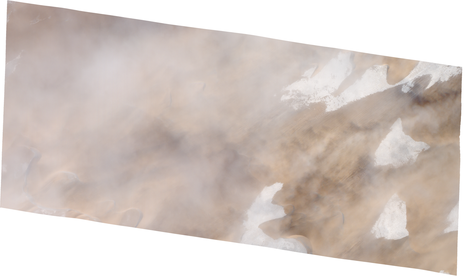
Resolution | 0.5 |
Product type | SSC_DEF_SC |
Cloud-Cover Percentage | 0.31 |
Start Date | 2022-01-29T09:36:26Z |
Stop Date | 2022-01-29T09:36:26Z |
Path | E018 |
Row | N17 |
Original Name | 20220129_093626_ssc1d3_0007_SkySatScene |
SSC_OPER_SSC_DEF_SC_20220130T085712_N17-220_E018-377_01
Download Product | Product Info | Browse
Resolution | 0.5 |
Product type | SSC_DEF_SC |
Cloud-Cover Percentage | 0 |
Start Date | 2022-01-30T08:57:12Z |
Stop Date | 2022-01-30T08:57:12Z |
Path | E018 |
Row | N17 |
Original Name | 20220130_085712_ssc13d2_0011_SkySatScene |
SSC_OPER_SSC_DEF_SC_20220116T121940_N17-236_E018-357_01
Download Product | Product Info | Browse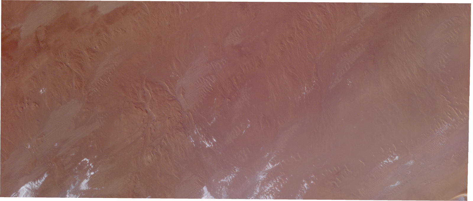
Resolution | 0.5 |
Product type | SSC_DEF_SC |
Cloud-Cover Percentage | 0 |
Start Date | 2022-01-16T12:19:40Z |
Stop Date | 2022-01-16T12:19:40Z |
Path | E018 |
Row | N17 |
Original Name | 20220116_121940_ssc6d1_0009_SkySatScene |
SSC_OPER_SSC_DEF_SC_20220130T085712_N17-217_E018-356_01
Download Product | Product Info | Browse
Resolution | 0.5 |
Product type | SSC_DEF_SC |
Cloud-Cover Percentage | 0 |
Start Date | 2022-01-30T08:57:12Z |
Stop Date | 2022-01-30T08:57:12Z |
Path | E018 |
Row | N17 |
Original Name | 20220130_085712_ssc13d3_0008_SkySatScene |
SSC_OPER_SSC_DEF_SC_20220129T093626_N17-206_E018-401_01
Download Product | Product Info | Browse
Resolution | 0.5 |
Product type | SSC_DEF_SC |
Cloud-Cover Percentage | 0.01 |
Start Date | 2022-01-29T09:36:26Z |
Stop Date | 2022-01-29T09:36:26Z |
Path | E018 |
Row | N17 |
Original Name | 20220129_093626_ssc1d3_0010_SkySatScene |
SSC_OPER_SSC_DEF_SC_20220129T093714_N17-215_E018-396_01
Download Product | Product Info | Browse
Resolution | 0.5 |
Product type | SSC_DEF_SC |
Cloud-Cover Percentage | 0.01 |
Start Date | 2022-01-29T09:37:14Z |
Stop Date | 2022-01-29T09:37:14Z |
Path | E018 |
Row | N17 |
Original Name | 20220129_093714_ssc1d1_0009_SkySatScene |
SSC_OPER_SSC_DEF_SC_20220226T085507_N17-163_E018-420_01
Download Product | Product Info | Browse
Resolution | 0.5 |
Product type | SSC_DEF_SC |
Cloud-Cover Percentage | 0.03 |
Start Date | 2022-02-26T08:55:07Z |
Stop Date | 2022-02-26T08:55:07Z |
Path | E018 |
Row | N17 |
Original Name | 20220226_085507_ssc12d2_0018_SkySatScene |
SSC_OPER_SSC_DEF_SC_20220226T085507_N17-188_E018-400_01
Download Product | Product Info | Browse
Resolution | 0.5 |
Product type | SSC_DEF_SC |
Cloud-Cover Percentage | 0.03 |
Start Date | 2022-02-26T08:55:07Z |
Stop Date | 2022-02-26T08:55:07Z |
Path | E018 |
Row | N17 |
Original Name | 20220226_085507_ssc12d3_0011_SkySatScene |
SSC_OPER_SSC_DEF_SC_20220226T085008_N17-168_E018-395_01
Download Product | Product Info | Browse
Resolution | 0.5 |
Product type | SSC_DEF_SC |
Cloud-Cover Percentage | 0.07 |
Start Date | 2022-02-26T08:50:08Z |
Stop Date | 2022-02-26T08:50:08Z |
Path | E018 |
Row | N17 |
Original Name | 20220226_085008_ssc4d1_0014_SkySatScene |
SSC_OPER_SSC_DEF_SC_20220226T085008_N17-184_E018-395_01
Download Product | Product Info | Browse
Resolution | 0.5 |
Product type | SSC_DEF_SC |
Cloud-Cover Percentage | 0.03 |
Start Date | 2022-02-26T08:50:08Z |
Stop Date | 2022-02-26T08:50:08Z |
Path | E018 |
Row | N17 |
Original Name | 20220226_085008_ssc4d1_0012_SkySatScene |
SSC_OPER_SSC_DEF_CO_20220212T085159_N17-216_E018-420_01
Download Product | Product Info | Browse
Resolution | 0.5 |
Product type | SSC_DEF_CO |
Cloud-Cover Percentage | 0.01 |
Start Date | 2022-02-12T08:51:59Z |
Stop Date | 2022-02-12T08:51:59Z |
Path | E018 |
Row | N17 |
Original Name | 20220212_085159_ssc2_u0001_SkySatCollect |
SSC_OPER_SSC_DEF_SC_20220226T085008_N17-176_E018-395_01
Download Product | Product Info | Browse
Resolution | 0.5 |
Product type | SSC_DEF_SC |
Cloud-Cover Percentage | 0 |
Start Date | 2022-02-26T08:50:08Z |
Stop Date | 2022-02-26T08:50:08Z |
Path | E018 |
Row | N17 |
Original Name | 20220226_085008_ssc4d1_0013_SkySatScene |
SSC_OPER_SSC_DEF_SC_20220226T085507_N17-180_E018-400_01
Download Product | Product Info | Browse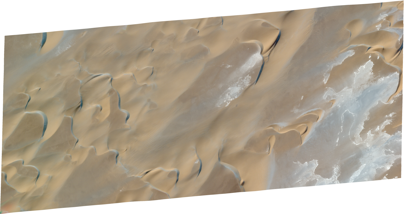
Resolution | 0.5 |
Product type | SSC_DEF_SC |
Cloud-Cover Percentage | 0 |
Start Date | 2022-02-26T08:55:07Z |
Stop Date | 2022-02-26T08:55:07Z |
Path | E018 |
Row | N17 |
Original Name | 20220226_085507_ssc12d3_0012_SkySatScene |
SSC_OPER_SSC_DEF_SC_20220226T085507_N17-172_E018-400_01
Download Product | Product Info | Browse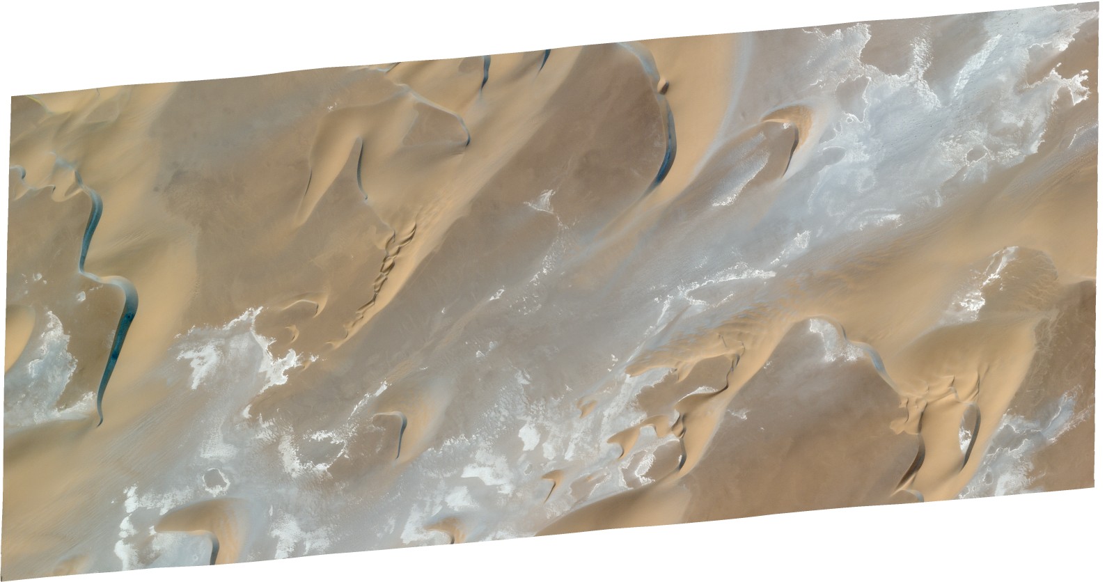
Resolution | 0.5 |
Product type | SSC_DEF_SC |
Cloud-Cover Percentage | 0 |
Start Date | 2022-02-26T08:55:07Z |
Stop Date | 2022-02-26T08:55:07Z |
Path | E018 |
Row | N17 |
Original Name | 20220226_085507_ssc12d3_0013_SkySatScene |
SSC_OPER_SSC_DEF_SC_20220226T085008_N17-159_E018-395_01
Download Product | Product Info | Browse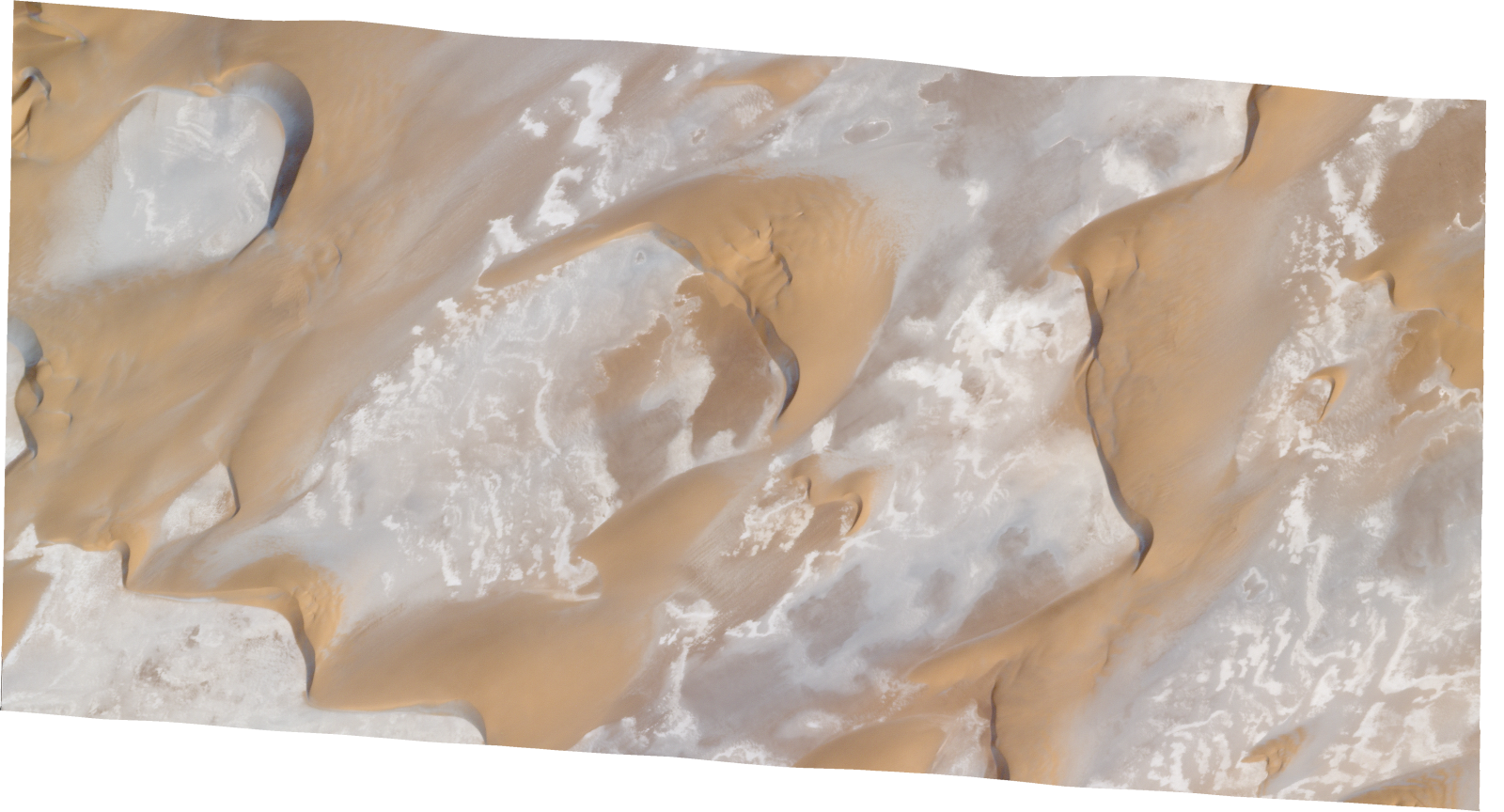
Resolution | 0.5 |
Product type | SSC_DEF_SC |
Cloud-Cover Percentage | 0.24 |
Start Date | 2022-02-26T08:50:08Z |
Stop Date | 2022-02-26T08:50:08Z |
Path | E018 |
Row | N17 |
Original Name | 20220226_085008_ssc4d1_0015_SkySatScene |
SSC_OPER_SSC_DEF_SC_20220226T085507_N17-171_E018-420_01
Download Product | Product Info | Browse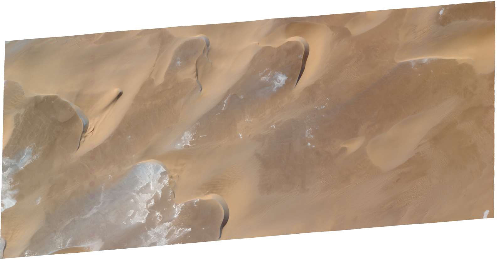
Resolution | 0.5 |
Product type | SSC_DEF_SC |
Cloud-Cover Percentage | 0 |
Start Date | 2022-02-26T08:55:07Z |
Stop Date | 2022-02-26T08:55:07Z |
Path | E018 |
Row | N17 |
Original Name | 20220226_085507_ssc12d2_0017_SkySatScene |
SSC_OPER_SSC_DEF_SC_20220212T085159_N17-164_E018-403_01
Download Product | Product Info | Browse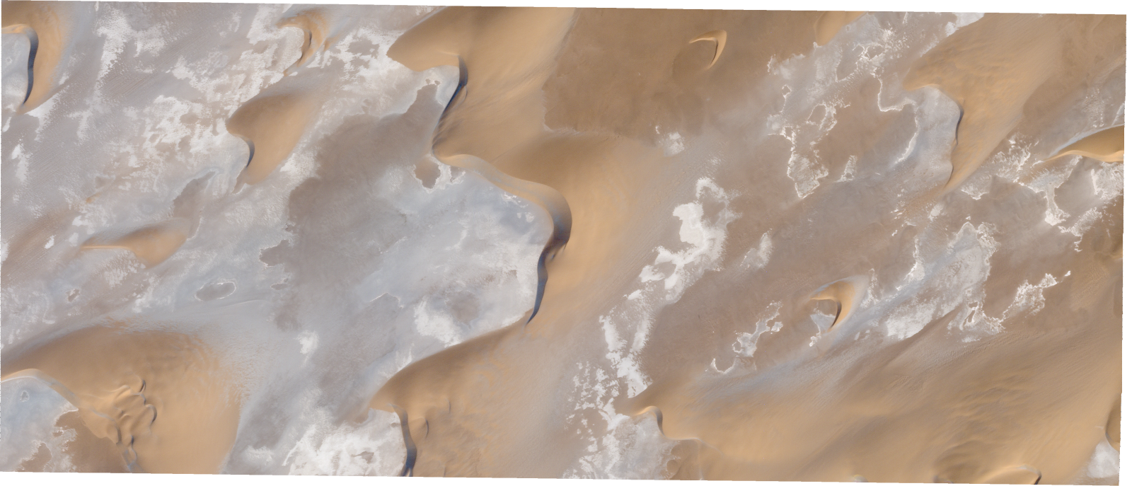
Resolution | 0.5 |
Product type | SSC_DEF_SC |
Cloud-Cover Percentage | 0.02 |
Start Date | 2022-02-12T08:51:59Z |
Stop Date | 2022-02-12T08:51:59Z |
Path | E018 |
Row | N17 |
Original Name | 20220212_085159_ssc2d1_0020_SkySatScene |
SSC_OPER_SSC_DEF_SC_20220226T085507_N17-179_E018-420_01
Download Product | Product Info | Browse
Resolution | 0.5 |
Product type | SSC_DEF_SC |
Cloud-Cover Percentage | 0 |
Start Date | 2022-02-26T08:55:07Z |
Stop Date | 2022-02-26T08:55:07Z |
Path | E018 |
Row | N17 |
Original Name | 20220226_085507_ssc12d2_0016_SkySatScene |
SSC_OPER_SSC_DEF_SC_20220212T085159_N17-172_E018-420_01
Download Product | Product Info | Browse
Resolution | 0.5 |
Product type | SSC_DEF_SC |
Cloud-Cover Percentage | 0 |
Start Date | 2022-02-12T08:51:59Z |
Stop Date | 2022-02-12T08:51:59Z |
Path | E018 |
Row | N17 |
Original Name | 20220212_085159_ssc2d2_0015_SkySatScene |
SSC_OPER_SSC_DEF_SC_20220212T085159_N17-166_E018-420_01
Download Product | Product Info | Browse
Resolution | 0.5 |
Product type | SSC_DEF_SC |
Cloud-Cover Percentage | 0 |
Start Date | 2022-02-12T08:51:59Z |
Stop Date | 2022-02-12T08:51:59Z |
Path | E018 |
Row | N17 |
Original Name | 20220212_085159_ssc2d2_0016_SkySatScene |
SSC_OPER_SSC_DEF_SC_20220226T085008_N17-193_E018-395_01
Download Product | Product Info | Browse
Resolution | 0.5 |
Product type | SSC_DEF_SC |
Cloud-Cover Percentage | 0.01 |
Start Date | 2022-02-26T08:50:08Z |
Stop Date | 2022-02-26T08:50:08Z |
Path | E018 |
Row | N17 |
Original Name | 20220226_085008_ssc4d1_0011_SkySatScene |
SSC_OPER_SSC_DEF_SC_20220226T085507_N17-187_E018-420_01
Download Product | Product Info | Browse
Resolution | 0.5 |
Product type | SSC_DEF_SC |
Cloud-Cover Percentage | 0 |
Start Date | 2022-02-26T08:55:07Z |
Stop Date | 2022-02-26T08:55:07Z |
Path | E018 |
Row | N17 |
Original Name | 20220226_085507_ssc12d2_0015_SkySatScene |
SSC_OPER_SSC_DEF_CO_20220226T085507_N17-210_E018-420_01
Download Product | Product Info | Browse
Resolution | 0.5 |
Product type | SSC_DEF_CO |
Cloud-Cover Percentage | 0.01 |
Start Date | 2022-02-26T08:55:07Z |
Stop Date | 2022-02-26T08:55:07Z |
Path | E018 |
Row | N17 |
Original Name | 20220226_085507_ssc12_u0001_SkySatCollect |
SSC_OPER_SSC_DEF_SC_20220226T085507_N17-164_E018-400_01
Download Product | Product Info | Browse
Resolution | 0.5 |
Product type | SSC_DEF_SC |
Cloud-Cover Percentage | 0.03 |
Start Date | 2022-02-26T08:55:07Z |
Stop Date | 2022-02-26T08:55:07Z |
Path | E018 |
Row | N17 |
Original Name | 20220226_085507_ssc12d3_0014_SkySatScene |
SSC_OPER_SSC_DEF_SC_20220212T085159_N17-171_E018-403_01
Download Product | Product Info | Browse
Resolution | 0.5 |
Product type | SSC_DEF_SC |
Cloud-Cover Percentage | 0 |
Start Date | 2022-02-12T08:51:59Z |
Stop Date | 2022-02-12T08:51:59Z |
Path | E018 |
Row | N17 |
Original Name | 20220212_085159_ssc2d1_0019_SkySatScene |
SSC_OPER_SSC_DEF_SC_20220213T093400_N17-214_E018-375_01
Download Product | Product Info | Browse
Resolution | 0.5 |
Product type | SSC_DEF_SC |
Cloud-Cover Percentage | 0 |
Start Date | 2022-02-13T09:34:00Z |
Stop Date | 2022-02-13T09:34:00Z |
Path | E018 |
Row | N17 |
Original Name | 20220213_093400_ssc1d2_0009_SkySatScene |
SSC_OPER_SSC_DEF_SC_20220212T085131_N17-243_E018-349_01
Download Product | Product Info | Browse
Resolution | 0.5 |
Product type | SSC_DEF_SC |
Cloud-Cover Percentage | 0 |
Start Date | 2022-02-12T08:51:31Z |
Stop Date | 2022-02-12T08:51:31Z |
Path | E018 |
Row | N17 |
Original Name | 20220212_085131_ssc2d3_0007_SkySatScene |
SSC_OPER_SSC_DEF_SC_20220226T084911_N17-228_E018-351_01
Download Product | Product Info | Browse
Resolution | 0.5 |
Product type | SSC_DEF_SC |
Cloud-Cover Percentage | 0 |
Start Date | 2022-02-26T08:49:11Z |
Stop Date | 2022-02-26T08:49:11Z |
Path | E018 |
Row | N17 |
Original Name | 20220226_084911_ssc4d1_0007_SkySatScene |
SSC_OPER_SSC_DEF_SC_20220213T093400_N17-234_E018-375_01
Download Product | Product Info | Browse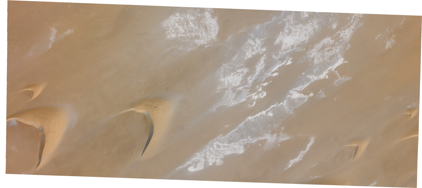
Resolution | 0.5 |
Product type | SSC_DEF_SC |
Cloud-Cover Percentage | 0 |
Start Date | 2022-02-13T09:34:00Z |
Stop Date | 2022-02-13T09:34:00Z |
Path | E018 |
Row | N17 |
Original Name | 20220213_093400_ssc1d2_0006_SkySatScene |
SSC_OPER_SSC_DEF_SC_20220212T085228_N17-231_E018-355_01
Download Product | Product Info | Browse
Resolution | 0.5 |
Product type | SSC_DEF_SC |
Cloud-Cover Percentage | 0 |
Start Date | 2022-02-12T08:52:28Z |
Stop Date | 2022-02-12T08:52:28Z |
Path | E018 |
Row | N17 |
Original Name | 20220212_085228_ssc2d1_0013_SkySatScene |
SSC_OPER_SSC_DEF_SC_20220212T085131_N17-218_E018-349_01
Download Product | Product Info | Browse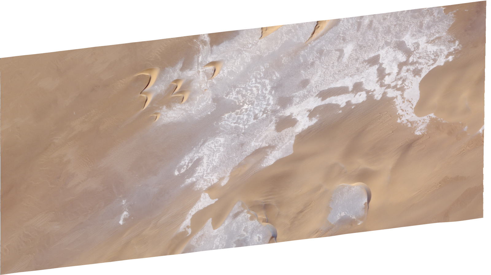
Resolution | 0.5 |
Product type | SSC_DEF_SC |
Cloud-Cover Percentage | 0 |
Start Date | 2022-02-12T08:51:31Z |
Stop Date | 2022-02-12T08:51:31Z |
Path | E018 |
Row | N17 |
Original Name | 20220212_085131_ssc2d3_0010_SkySatScene |
SSC_OPER_SSC_DEF_SC_20220226T084911_N17-220_E018-351_01
Download Product | Product Info | Browse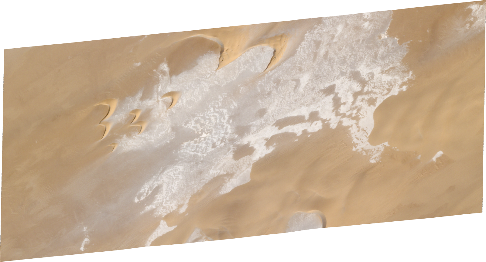
Resolution | 0.5 |
Product type | SSC_DEF_SC |
Cloud-Cover Percentage | 0 |
Start Date | 2022-02-26T08:49:11Z |
Stop Date | 2022-02-26T08:49:11Z |
Path | E018 |
Row | N17 |
Original Name | 20220226_084911_ssc4d1_0008_SkySatScene |
SSC_OPER_SSC_DEF_SC_20220226T085008_N17-218_E018-395_01
Download Product | Product Info | Browse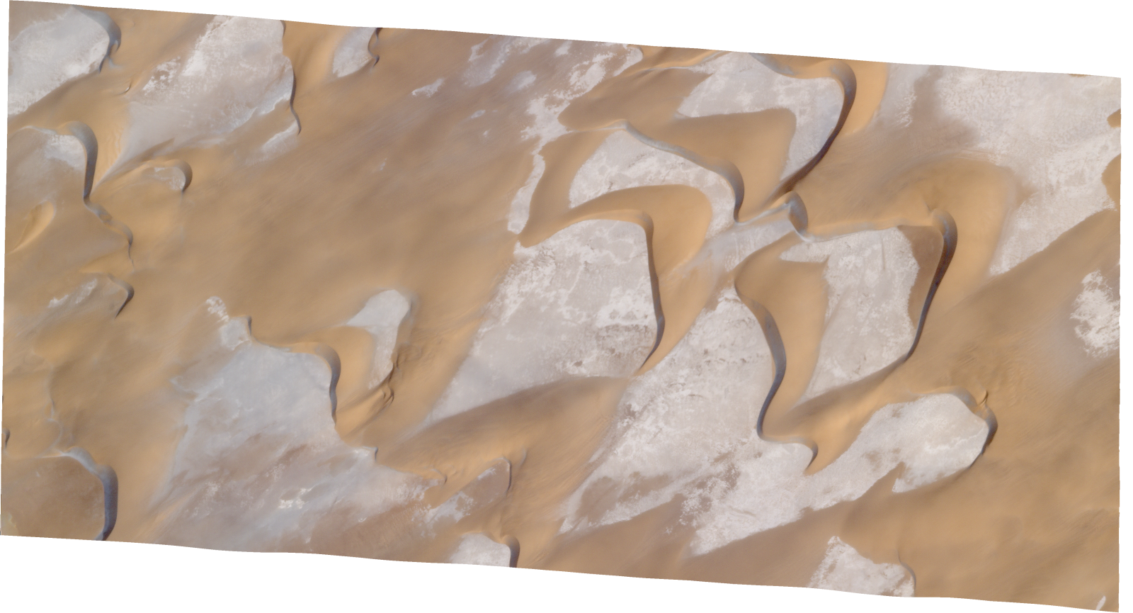
Resolution | 0.5 |
Product type | SSC_DEF_SC |
Cloud-Cover Percentage | 0.04 |
Start Date | 2022-02-26T08:50:08Z |
Stop Date | 2022-02-26T08:50:08Z |
Path | E018 |
Row | N17 |
Original Name | 20220226_085008_ssc4d1_0008_SkySatScene |
SSC_OPER_SSC_DEF_SC_20220213T093400_N17-224_E018-358_01
Download Product | Product Info | Browse
Resolution | 0.5 |
Product type | SSC_DEF_SC |
Cloud-Cover Percentage | 0 |
Start Date | 2022-02-13T09:34:00Z |
Stop Date | 2022-02-13T09:34:00Z |
Path | E018 |
Row | N17 |
Original Name | 20220213_093400_ssc1d1_0011_SkySatScene |
SSC_OPER_SSC_DEF_SC_20220213T093400_N17-238_E018-393_01
Download Product | Product Info | Browse
Resolution | 0.5 |
Product type | SSC_DEF_SC |
Cloud-Cover Percentage | 0 |
Start Date | 2022-02-13T09:34:00Z |
Stop Date | 2022-02-13T09:34:00Z |
Path | E018 |
Row | N17 |
Original Name | 20220213_093400_ssc1d3_0009_SkySatScene |
SSC_OPER_SSC_DEF_CO_20220213T093400_N17-216_E018-375_01
Download Product | Product Info | Browse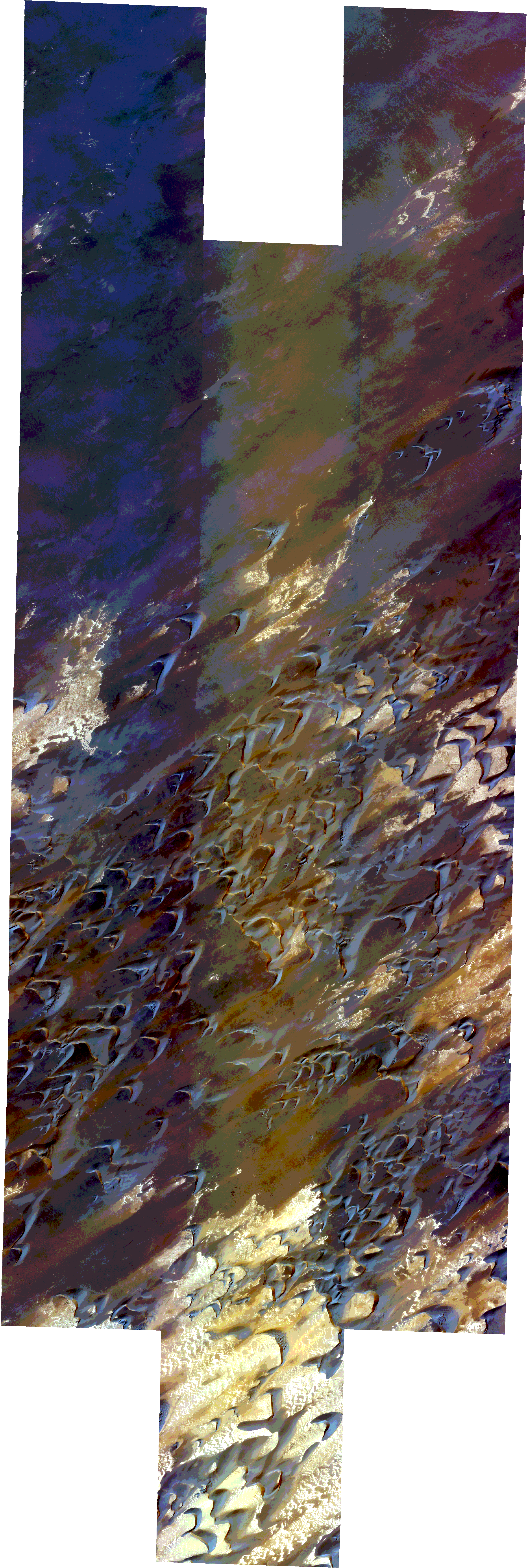
Resolution | 0.5 |
Product type | SSC_DEF_CO |
Cloud-Cover Percentage | 0 |
Start Date | 2022-02-13T09:34:00Z |
Stop Date | 2022-02-13T09:34:00Z |
Path | E018 |
Row | N17 |
Original Name | 20220213_093400_ssc1_u0001_SkySatCollect |
SSC_OPER_SSC_DEF_SC_20220212T085159_N17-211_E018-403_01
Download Product | Product Info | Browse
Resolution | 0.5 |
Product type | SSC_DEF_SC |
Cloud-Cover Percentage | 0.01 |
Start Date | 2022-02-12T08:51:59Z |
Stop Date | 2022-02-12T08:51:59Z |
Path | E018 |
Row | N17 |
Original Name | 20220212_085159_ssc2d1_0013_SkySatScene |
SSC_OPER_SSC_DEF_SC_20220213T093400_N17-224_E018-392_01
Download Product | Product Info | Browse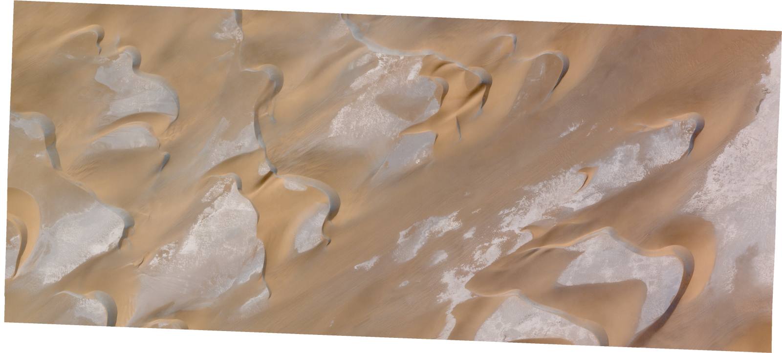
Resolution | 0.5 |
Product type | SSC_DEF_SC |
Cloud-Cover Percentage | 0 |
Start Date | 2022-02-13T09:34:00Z |
Stop Date | 2022-02-13T09:34:00Z |
Path | E018 |
Row | N17 |
Original Name | 20220213_093400_ssc1d3_0011_SkySatScene |
SSC_OPER_SSC_DEF_SC_20220226T085008_N17-234_E018-376_01
Download Product | Product Info | Browse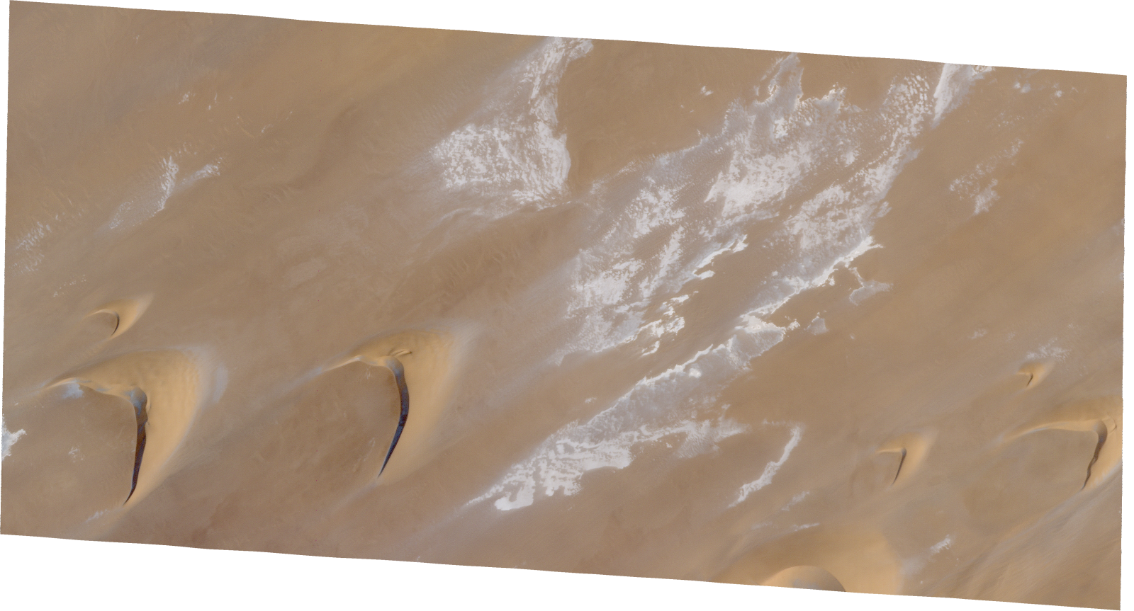
Resolution | 0.5 |
Product type | SSC_DEF_SC |
Cloud-Cover Percentage | 0 |
Start Date | 2022-02-26T08:50:08Z |
Stop Date | 2022-02-26T08:50:08Z |
Path | E018 |
Row | N17 |
Original Name | 20220226_085008_ssc4d2_0010_SkySatScene |
SSC_OPER_SSC_DEF_SC_20220213T093400_N17-227_E018-375_01
Download Product | Product Info | Browse
Resolution | 0.5 |
Product type | SSC_DEF_SC |
Cloud-Cover Percentage | 0 |
Start Date | 2022-02-13T09:34:00Z |
Stop Date | 2022-02-13T09:34:00Z |
Path | E018 |
Row | N17 |
Original Name | 20220213_093400_ssc1d2_0007_SkySatScene |
SSC_OPER_SSC_DEF_SC_20220212T085228_N17-214_E018-355_01
Download Product | Product Info | Browse
Resolution | 0.5 |
Product type | SSC_DEF_SC |
Cloud-Cover Percentage | 0 |
Start Date | 2022-02-12T08:52:28Z |
Stop Date | 2022-02-12T08:52:28Z |
Path | E018 |
Row | N17 |
Original Name | 20220212_085228_ssc2d1_0011_SkySatScene |
SSC_OPER_SSC_DEF_CO_20220226T085008_N17-217_E018-376_01
Download Product | Product Info | Browse
Resolution | 0.5 |
Product type | SSC_DEF_CO |
Cloud-Cover Percentage | 0.03 |
Start Date | 2022-02-26T08:50:08Z |
Stop Date | 2022-02-26T08:50:08Z |
Path | E018 |
Row | N17 |
Original Name | 20220226_085008_ssc4_u0001_SkySatCollect |
SSC_OPER_SSC_DEF_SC_20220213T093400_N17-238_E018-358_01
Download Product | Product Info | Browse
Resolution | 0.5 |
Product type | SSC_DEF_SC |
Cloud-Cover Percentage | 0 |
Start Date | 2022-02-13T09:34:00Z |
Stop Date | 2022-02-13T09:34:00Z |
Path | E018 |
Row | N17 |
Original Name | 20220213_093400_ssc1d1_0009_SkySatScene |
SSC_OPER_SSC_DEF_SC_20220212T085228_N17-232_E018-375_01
Download Product | Product Info | Browse
Resolution | 0.5 |
Product type | SSC_DEF_SC |
Cloud-Cover Percentage | 0 |
Start Date | 2022-02-12T08:52:28Z |
Stop Date | 2022-02-12T08:52:28Z |
Path | E018 |
Row | N17 |
Original Name | 20220212_085228_ssc2d2_0017_SkySatScene |
SSC_OPER_SSC_DEF_SC_20220226T085507_N17-221_E018-400_01
Download Product | Product Info | Browse
Resolution | 0.5 |
Product type | SSC_DEF_SC |
Cloud-Cover Percentage | 0 |
Start Date | 2022-02-26T08:55:07Z |
Stop Date | 2022-02-26T08:55:07Z |
Path | E018 |
Row | N17 |
Original Name | 20220226_085507_ssc12d3_0007_SkySatScene |
SSC_OPER_SSC_DEF_SC_20220226T085507_N17-229_E018-400_01
Download Product | Product Info | Browse
Resolution | 0.5 |
Product type | SSC_DEF_SC |
Cloud-Cover Percentage | 0.01 |
Start Date | 2022-02-26T08:55:07Z |
Stop Date | 2022-02-26T08:55:07Z |
Path | E018 |
Row | N17 |
Original Name | 20220226_085507_ssc12d3_0006_SkySatScene |
SSC_OPER_SSC_DEF_SC_20220226T085008_N17-237_E018-356_01
Download Product | Product Info | Browse
Resolution | 0.5 |
Product type | SSC_DEF_SC |
Cloud-Cover Percentage | 0 |
Start Date | 2022-02-26T08:50:08Z |
Stop Date | 2022-02-26T08:50:08Z |
Path | E018 |
Row | N17 |
Original Name | 20220226_085008_ssc4d3_0006_SkySatScene |
SSC_OPER_SSC_DEF_SC_20220212T085131_N17-226_E018-349_01
Download Product | Product Info | Browse
Resolution | 0.5 |
Product type | SSC_DEF_SC |
Cloud-Cover Percentage | 0.01 |
Start Date | 2022-02-12T08:51:31Z |
Stop Date | 2022-02-12T08:51:31Z |
Path | E018 |
Row | N17 |
Original Name | 20220212_085131_ssc2d3_0009_SkySatScene |
SSC_OPER_SSC_DEF_SC_20220226T085507_N17-228_E018-420_01
Download Product | Product Info | Browse
Resolution | 0.5 |
Product type | SSC_DEF_SC |
Cloud-Cover Percentage | 0 |
Start Date | 2022-02-26T08:55:07Z |
Stop Date | 2022-02-26T08:55:07Z |
Path | E018 |
Row | N17 |
Original Name | 20220226_085507_ssc12d2_0010_SkySatScene |
SSC_OPER_SSC_DEF_SC_20220226T084911_N17-237_E018-351_01
Download Product | Product Info | Browse
Resolution | 0.5 |
Product type | SSC_DEF_SC |
Cloud-Cover Percentage | 0 |
Start Date | 2022-02-26T08:49:11Z |
Stop Date | 2022-02-26T08:49:11Z |
Path | E018 |
Row | N17 |
Original Name | 20220226_084911_ssc4d1_0006_SkySatScene |
SSC_OPER_SSC_DEF_SC_20220226T085008_N17-227_E018-395_01
Download Product | Product Info | Browse
Resolution | 0.5 |
Product type | SSC_DEF_SC |
Cloud-Cover Percentage | 0.01 |
Start Date | 2022-02-26T08:50:08Z |
Stop Date | 2022-02-26T08:50:08Z |
Path | E018 |
Row | N17 |
Original Name | 20220226_085008_ssc4d1_0007_SkySatScene |
SSC_OPER_SSC_DEF_SC_20220213T093400_N17-231_E018-358_01
Download Product | Product Info | Browse
Resolution | 0.5 |
Product type | SSC_DEF_SC |
Cloud-Cover Percentage | 0 |
Start Date | 2022-02-13T09:34:00Z |
Stop Date | 2022-02-13T09:34:00Z |
Path | E018 |
Row | N17 |
Original Name | 20220213_093400_ssc1d1_0010_SkySatScene |
SSC_OPER_SSC_DEF_SC_20220212T085228_N17-212_E018-394_01
Download Product | Product Info | Browse
Resolution | 0.5 |
Product type | SSC_DEF_SC |
Cloud-Cover Percentage | 0.03 |
Start Date | 2022-02-12T08:52:28Z |
Stop Date | 2022-02-12T08:52:28Z |
Path | E018 |
Row | N17 |
Original Name | 20220212_085228_ssc2d3_0011_SkySatScene |
SSC_OPER_SSC_DEF_SC_20220212T085228_N17-223_E018-355_01
Download Product | Product Info | Browse
Resolution | 0.5 |
Product type | SSC_DEF_SC |
Cloud-Cover Percentage | 0 |
Start Date | 2022-02-12T08:52:28Z |
Stop Date | 2022-02-12T08:52:28Z |
Path | E018 |
Row | N17 |
Original Name | 20220212_085228_ssc2d1_0012_SkySatScene |
SSC_OPER_SSC_DEF_SC_20220226T085008_N17-220_E018-356_01
Download Product | Product Info | Browse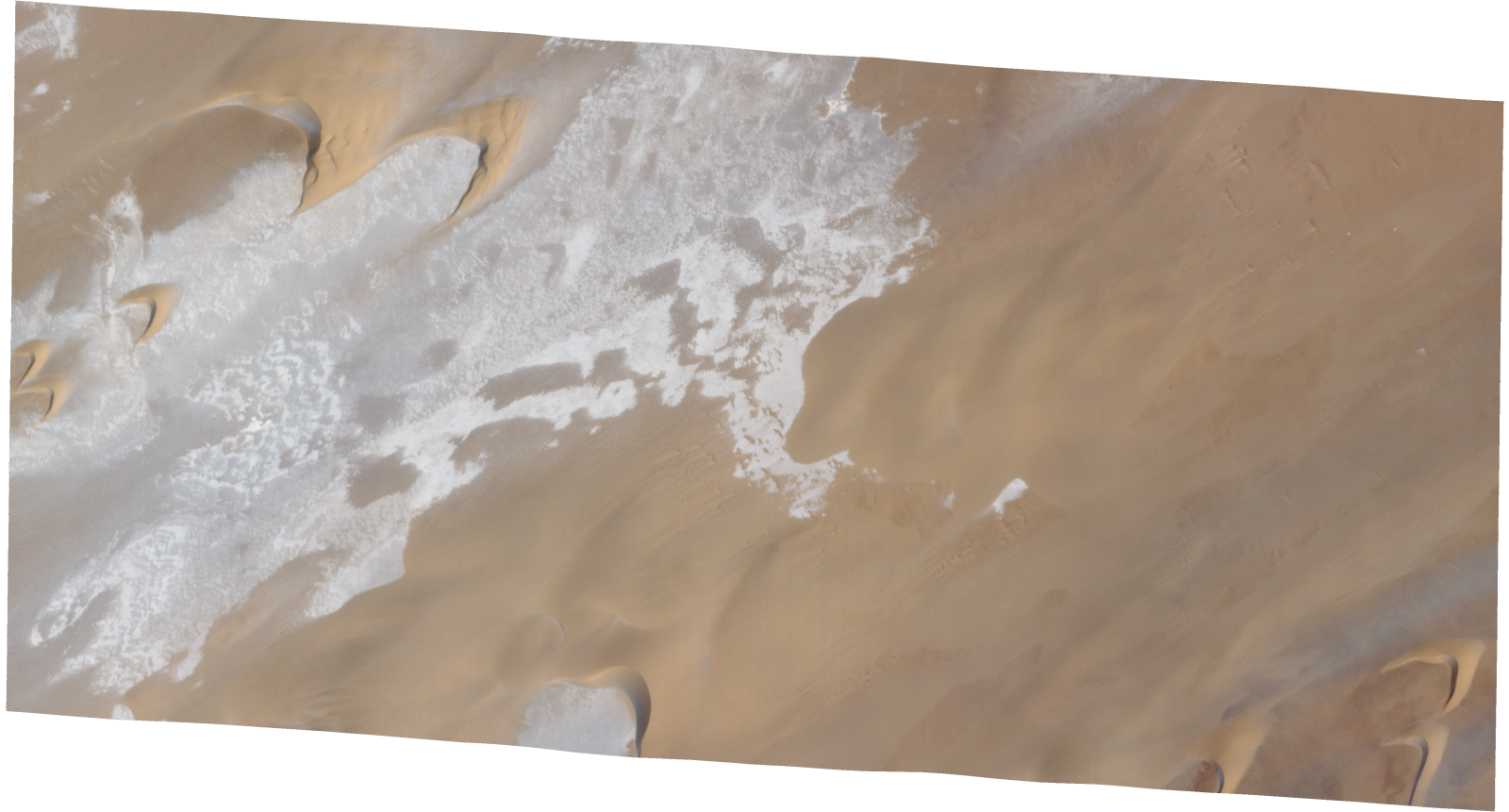
Resolution | 0.5 |
Product type | SSC_DEF_SC |
Cloud-Cover Percentage | 0 |
Start Date | 2022-02-26T08:50:08Z |
Stop Date | 2022-02-26T08:50:08Z |
Path | E018 |
Row | N17 |
Original Name | 20220226_085008_ssc4d3_0008_SkySatScene |
SSC_OPER_SSC_DEF_SC_20220213T093400_N17-231_E018-392_01
Download Product | Product Info | Browse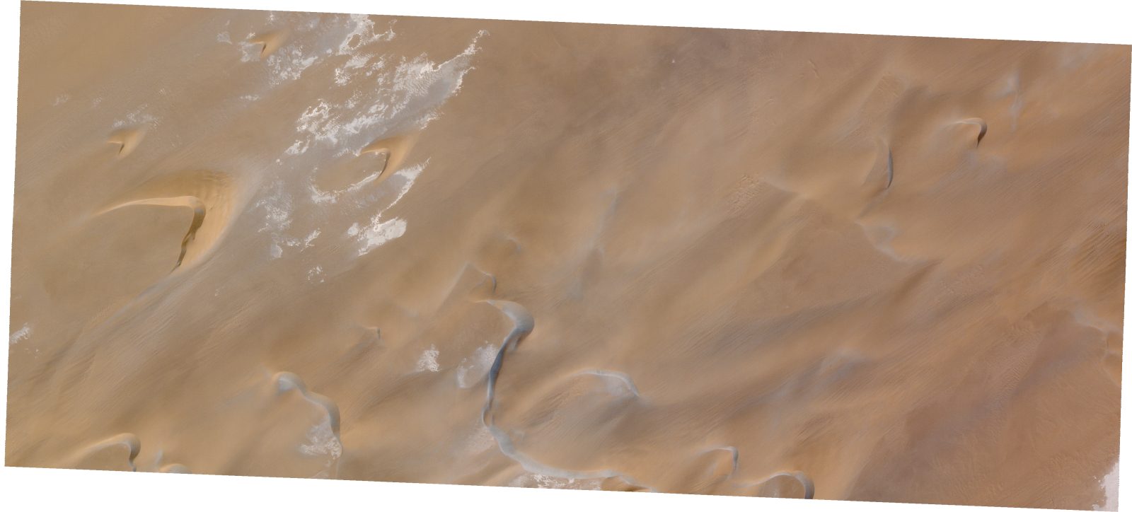
Resolution | 0.5 |
Product type | SSC_DEF_SC |
Cloud-Cover Percentage | 0 |
Start Date | 2022-02-13T09:34:00Z |
Stop Date | 2022-02-13T09:34:00Z |
Path | E018 |
Row | N17 |
Original Name | 20220213_093400_ssc1d3_0010_SkySatScene |
SSC_OPER_SSC_DEF_SC_20220226T084911_N17-212_E018-351_01
Download Product | Product Info | Browse
Resolution | 0.5 |
Product type | SSC_DEF_SC |
Cloud-Cover Percentage | 0 |
Start Date | 2022-02-26T08:49:11Z |
Stop Date | 2022-02-26T08:49:11Z |
Path | E018 |
Row | N17 |
Original Name | 20220226_084911_ssc4d1_0009_SkySatScene |
SSC_OPER_SSC_DEF_SC_20220212T085159_N17-213_E018-420_01
Download Product | Product Info | Browse
Resolution | 0.5 |
Product type | SSC_DEF_SC |
Cloud-Cover Percentage | 0 |
Start Date | 2022-02-12T08:51:59Z |
Stop Date | 2022-02-12T08:51:59Z |
Path | E018 |
Row | N17 |
Original Name | 20220212_085159_ssc2d2_0009_SkySatScene |
SSC_OPER_SSC_DEF_SC_20220226T085507_N17-220_E018-420_01
Download Product | Product Info | Browse
Resolution | 0.5 |
Product type | SSC_DEF_SC |
Cloud-Cover Percentage | 0 |
Start Date | 2022-02-26T08:55:07Z |
Stop Date | 2022-02-26T08:55:07Z |
Path | E018 |
Row | N17 |
Original Name | 20220226_085507_ssc12d2_0011_SkySatScene |
SSC_OPER_SSC_DEF_SC_20220226T085008_N17-210_E018-395_01
Download Product | Product Info | Browse
Resolution | 0.5 |
Product type | SSC_DEF_SC |
Cloud-Cover Percentage | 0.01 |
Start Date | 2022-02-26T08:50:08Z |
Stop Date | 2022-02-26T08:50:08Z |
Path | E018 |
Row | N17 |
Original Name | 20220226_085008_ssc4d1_0009_SkySatScene |
SSC_OPER_SSC_DEF_SC_20220212T085228_N17-240_E018-355_01
Download Product | Product Info | Browse
Resolution | 0.5 |
Product type | SSC_DEF_SC |
Cloud-Cover Percentage | 0 |
Start Date | 2022-02-12T08:52:28Z |
Stop Date | 2022-02-12T08:52:28Z |
Path | E018 |
Row | N17 |
Original Name | 20220212_085228_ssc2d1_0014_SkySatScene |
SSC_OPER_SSC_DEF_SC_20220213T093400_N17-218_E018-358_01
Download Product | Product Info | Browse
Resolution | 0.5 |
Product type | SSC_DEF_SC |
Cloud-Cover Percentage | 0 |
Start Date | 2022-02-13T09:34:00Z |
Stop Date | 2022-02-13T09:34:00Z |
Path | E018 |
Row | N17 |
Original Name | 20220213_093400_ssc1d1_0012_SkySatScene |
SSC_OPER_SSC_DEF_SC_20220226T085008_N17-242_E018-376_01
Download Product | Product Info | Browse
Resolution | 0.5 |
Product type | SSC_DEF_SC |
Cloud-Cover Percentage | 0 |
Start Date | 2022-02-26T08:50:08Z |
Stop Date | 2022-02-26T08:50:08Z |
Path | E018 |
Row | N17 |
Original Name | 20220226_085008_ssc4d2_0009_SkySatScene |
SSC_OPER_SSC_DEF_SC_20220213T093400_N17-218_E018-392_01
Download Product | Product Info | Browse
Resolution | 0.5 |
Product type | SSC_DEF_SC |
Cloud-Cover Percentage | 0 |
Start Date | 2022-02-13T09:34:00Z |
Stop Date | 2022-02-13T09:34:00Z |
Path | E018 |
Row | N17 |
Original Name | 20220213_093400_ssc1d3_0012_SkySatScene |
SSC_OPER_SSC_DEF_SC_20220212T085159_N17-217_E018-403_01
Download Product | Product Info | Browse
Resolution | 0.5 |
Product type | SSC_DEF_SC |
Cloud-Cover Percentage | 0.03 |
Start Date | 2022-02-12T08:51:59Z |
Stop Date | 2022-02-12T08:51:59Z |
Path | E018 |
Row | N17 |
Original Name | 20220212_085159_ssc2d1_0012_SkySatScene |
SSC_OPER_SSC_DEF_SC_20220212T085159_N17-219_E018-420_01
Download Product | Product Info | Browse
Resolution | 0.5 |
Product type | SSC_DEF_SC |
Cloud-Cover Percentage | 0.06 |
Start Date | 2022-02-12T08:51:59Z |
Stop Date | 2022-02-12T08:51:59Z |
Path | E018 |
Row | N17 |
Original Name | 20220212_085159_ssc2d2_0008_SkySatScene |
SSC_OPER_SSC_DEF_SC_20220212T085159_N17-224_E018-403_01
Download Product | Product Info | Browse
Resolution | 0.5 |
Product type | SSC_DEF_SC |
Cloud-Cover Percentage | 0 |
Start Date | 2022-02-12T08:51:59Z |
Stop Date | 2022-02-12T08:51:59Z |
Path | E018 |
Row | N17 |
Original Name | 20220212_085159_ssc2d1_0011_SkySatScene |
SSC_OPER_SSC_DEF_SC_20220226T085507_N17-213_E018-400_01
Download Product | Product Info | Browse
Resolution | 0.5 |
Product type | SSC_DEF_SC |
Cloud-Cover Percentage | 0 |
Start Date | 2022-02-26T08:55:07Z |
Stop Date | 2022-02-26T08:55:07Z |
Path | E018 |
Row | N17 |
Original Name | 20220226_085507_ssc12d3_0008_SkySatScene |
SSC_OPER_SSC_DEF_SC_20220226T085008_N17-228_E018-356_01
Download Product | Product Info | Browse
Resolution | 0.5 |
Product type | SSC_DEF_SC |
Cloud-Cover Percentage | 0 |
Start Date | 2022-02-26T08:50:08Z |
Stop Date | 2022-02-26T08:50:08Z |
Path | E018 |
Row | N17 |
Original Name | 20220226_085008_ssc4d3_0007_SkySatScene |
SSC_OPER_SSC_DEF_SC_20220226T085008_N17-226_E018-376_01
Download Product | Product Info | Browse
Resolution | 0.5 |
Product type | SSC_DEF_SC |
Cloud-Cover Percentage | 0 |
Start Date | 2022-02-26T08:50:08Z |
Stop Date | 2022-02-26T08:50:08Z |
Path | E018 |
Row | N17 |
Original Name | 20220226_085008_ssc4d2_0011_SkySatScene |
SSC_OPER_SSC_DEF_SC_20220212T085228_N17-215_E018-375_01
Download Product | Product Info | Browse
Resolution | 0.5 |
Product type | SSC_DEF_SC |
Cloud-Cover Percentage | 0 |
Start Date | 2022-02-12T08:52:28Z |
Stop Date | 2022-02-12T08:52:28Z |
Path | E018 |
Row | N17 |
Original Name | 20220212_085228_ssc2d2_0015_SkySatScene |
SSC_OPER_SSC_DEF_SC_20220212T085159_N17-231_E018-403_01
Download Product | Product Info | Browse
Resolution | 0.5 |
Product type | SSC_DEF_SC |
Cloud-Cover Percentage | 0.01 |
Start Date | 2022-02-12T08:51:59Z |
Stop Date | 2022-02-12T08:51:59Z |
Path | E018 |
Row | N17 |
Original Name | 20220212_085159_ssc2d1_0010_SkySatScene |
SSC_OPER_SSC_DEF_SC_20220213T093400_N17-240_E018-375_01
Download Product | Product Info | Browse
Resolution | 0.5 |
Product type | SSC_DEF_SC |
Cloud-Cover Percentage | 0 |
Start Date | 2022-02-13T09:34:00Z |
Stop Date | 2022-02-13T09:34:00Z |
Path | E018 |
Row | N17 |
Original Name | 20220213_093400_ssc1d2_0005_SkySatScene |
SSC_OPER_SSC_DEF_SC_20220212T085228_N17-223_E018-375_01
Download Product | Product Info | Browse
Resolution | 0.5 |
Product type | SSC_DEF_SC |
Cloud-Cover Percentage | 0 |
Start Date | 2022-02-12T08:52:28Z |
Stop Date | 2022-02-12T08:52:28Z |
Path | E018 |
Row | N17 |
Original Name | 20220212_085228_ssc2d2_0016_SkySatScene |
SSC_OPER_SSC_DEF_SC_20220212T085131_N17-235_E018-349_01
Download Product | Product Info | Browse
Resolution | 0.5 |
Product type | SSC_DEF_SC |
Cloud-Cover Percentage | 0 |
Start Date | 2022-02-12T08:51:31Z |
Stop Date | 2022-02-12T08:51:31Z |
Path | E018 |
Row | N17 |
Original Name | 20220212_085131_ssc2d3_0008_SkySatScene |
SSC_OPER_SSC_DEF_SC_20220226T085008_N17-217_E018-376_01
Download Product | Product Info | Browse
Resolution | 0.5 |
Product type | SSC_DEF_SC |
Cloud-Cover Percentage | 0 |
Start Date | 2022-02-26T08:50:08Z |
Stop Date | 2022-02-26T08:50:08Z |
Path | E018 |
Row | N17 |
Original Name | 20220226_085008_ssc4d2_0012_SkySatScene |
SSC_OPER_SSC_DEF_SC_20220212T085159_N17-226_E018-420_01
Download Product | Product Info | Browse
Resolution | 0.5 |
Product type | SSC_DEF_SC |
Cloud-Cover Percentage | 0 |
Start Date | 2022-02-12T08:51:59Z |
Stop Date | 2022-02-12T08:51:59Z |
Path | E018 |
Row | N17 |
Original Name | 20220212_085159_ssc2d2_0007_SkySatScene |
SSC_OPER_SSC_DEF_SC_20220212T085228_N17-240_E018-375_01
Download Product | Product Info | Browse
Resolution | 0.5 |
Product type | SSC_DEF_SC |
Cloud-Cover Percentage | 0 |
Start Date | 2022-02-12T08:52:28Z |
Stop Date | 2022-02-12T08:52:28Z |
Path | E018 |
Row | N17 |
Original Name | 20220212_085228_ssc2d2_0018_SkySatScene |
SSC_OPER_SSC_DEF_SC_20220226T085507_N17-212_E018-420_01
Download Product | Product Info | Browse
Resolution | 0.5 |
Product type | SSC_DEF_SC |
Cloud-Cover Percentage | 0 |
Start Date | 2022-02-26T08:55:07Z |
Stop Date | 2022-02-26T08:55:07Z |
Path | E018 |
Row | N17 |
Original Name | 20220226_085507_ssc12d2_0012_SkySatScene |
SSC_OPER_SSC_DEF_SC_20220212T085228_N17-229_E018-394_01
Download Product | Product Info | Browse
Resolution | 0.5 |
Product type | SSC_DEF_SC |
Cloud-Cover Percentage | 0 |
Start Date | 2022-02-12T08:52:28Z |
Stop Date | 2022-02-12T08:52:28Z |
Path | E018 |
Row | N17 |
Original Name | 20220212_085228_ssc2d3_0013_SkySatScene |
SSC_OPER_SSC_DEF_SC_20220212T085228_N17-221_E018-394_01
Download Product | Product Info | Browse
Resolution | 0.5 |
Product type | SSC_DEF_SC |
Cloud-Cover Percentage | 0.01 |
Start Date | 2022-02-12T08:52:28Z |
Stop Date | 2022-02-12T08:52:28Z |
Path | E018 |
Row | N17 |
Original Name | 20220212_085228_ssc2d3_0012_SkySatScene |
SSC_OPER_SSC_DEF_CO_20220226T084911_N17-216_E018-331_01
Download Product | Product Info | Browse
Resolution | 0.5 |
Product type | SSC_DEF_CO |
Cloud-Cover Percentage | 0 |
Start Date | 2022-02-26T08:49:11Z |
Stop Date | 2022-02-26T08:49:11Z |
Path | E018 |
Row | N17 |
Original Name | 20220226_084911_ssc4_u0001_SkySatCollect |
SSC_OPER_SSC_DEF_SC_20220213T093400_N17-220_E018-375_01
Download Product | Product Info | Browse
Resolution | 0.5 |
Product type | SSC_DEF_SC |
Cloud-Cover Percentage | 0 |
Start Date | 2022-02-13T09:34:00Z |
Stop Date | 2022-02-13T09:34:00Z |
Path | E018 |
Row | N17 |
Original Name | 20220213_093400_ssc1d2_0008_SkySatScene |
SSC_OPER_SSC_DEF_SC_20220327T092431_N17-215_E018-376_01
Download Product | Product Info | Browse
Resolution | 0.5 |
Product type | SSC_DEF_SC |
Cloud-Cover Percentage | 0.74 |
Start Date | 2022-03-27T09:24:31Z |
Stop Date | 2022-03-27T09:24:31Z |
Path | E018 |
Row | N17 |
Original Name | 20220327_092431_ssc1d2_0013_SkySatScene |
SSC_OPER_SSC_DEF_SC_20220327T092431_N17-240_E018-355_01
Download Product | Product Info | Browse
Resolution | 0.5 |
Product type | SSC_DEF_SC |
Cloud-Cover Percentage | 0.53 |
Start Date | 2022-03-27T09:24:31Z |
Stop Date | 2022-03-27T09:24:31Z |
Path | E018 |
Row | N17 |
Original Name | 20220327_092431_ssc1d3_0006_SkySatScene |
SSC_OPER_SSC_DEF_SC_20220327T092431_N17-232_E018-355_01
Download Product | Product Info | Browse
Resolution | 0.5 |
Product type | SSC_DEF_SC |
Cloud-Cover Percentage | 0.37 |
Start Date | 2022-03-27T09:24:31Z |
Stop Date | 2022-03-27T09:24:31Z |
Path | E018 |
Row | N17 |
Original Name | 20220327_092431_ssc1d3_0007_SkySatScene |
SSC_OPER_SSC_DEF_SC_20220327T092431_N17-185_E018-355_01
Download Product | Product Info | Browse
Resolution | 0.5 |
Product type | SSC_DEF_SC |
Cloud-Cover Percentage | 0 |
Start Date | 2022-03-27T09:24:31Z |
Stop Date | 2022-03-27T09:24:31Z |
Path | E018 |
Row | N17 |
Original Name | 20220327_092431_ssc1d3_0013_SkySatScene |
SSC_OPER_SSC_DEF_SC_20220327T092431_N17-246_E018-376_01
Download Product | Product Info | Browse
Resolution | 0.5 |
Product type | SSC_DEF_SC |
Cloud-Cover Percentage | 0.72 |
Start Date | 2022-03-27T09:24:31Z |
Stop Date | 2022-03-27T09:24:31Z |
Path | E018 |
Row | N17 |
Original Name | 20220327_092431_ssc1d2_0009_SkySatScene |
SSC_OPER_SSC_DEF_SC_20220327T092431_N17-198_E018-396_01
Download Product | Product Info | Browse
Resolution | 0.5 |
Product type | SSC_DEF_SC |
Cloud-Cover Percentage | 0 |
Start Date | 2022-03-27T09:24:31Z |
Stop Date | 2022-03-27T09:24:31Z |
Path | E018 |
Row | N17 |
Original Name | 20220327_092431_ssc1d1_0012_SkySatScene |
SSC_OPER_SSC_DEF_SC_20220327T092431_N17-205_E018-396_01
Download Product | Product Info | Browse
Resolution | 0.5 |
Product type | SSC_DEF_SC |
Cloud-Cover Percentage | 0.02 |
Start Date | 2022-03-27T09:24:31Z |
Stop Date | 2022-03-27T09:24:31Z |
Path | E018 |
Row | N17 |
Original Name | 20220327_092431_ssc1d1_0011_SkySatScene |
SSC_OPER_SSC_DEF_SC_20220327T092431_N17-190_E018-396_01
Download Product | Product Info | Browse
Resolution | 0.5 |
Product type | SSC_DEF_SC |
Cloud-Cover Percentage | 0 |
Start Date | 2022-03-27T09:24:31Z |
Stop Date | 2022-03-27T09:24:31Z |
Path | E018 |
Row | N17 |
Original Name | 20220327_092431_ssc1d1_0013_SkySatScene |
SSC_OPER_SSC_DEF_SC_20220326T085247_N17-166_E018-394_01
Download Product | Product Info | Browse
Resolution | 0.5 |
Product type | SSC_DEF_SC |
Cloud-Cover Percentage | 0.04 |
Start Date | 2022-03-26T08:52:47Z |
Stop Date | 2022-03-26T08:52:47Z |
Path | E018 |
Row | N17 |
Original Name | 20220326_085247_ssc2d1_0009_SkySatScene |
SSC_OPER_SSC_DEF_SC_20220327T092431_N17-221_E018-396_01
Download Product | Product Info | Browse
Resolution | 0.5 |
Product type | SSC_DEF_SC |
Cloud-Cover Percentage | 0.37 |
Start Date | 2022-03-27T09:24:31Z |
Stop Date | 2022-03-27T09:24:31Z |
Path | E018 |
Row | N17 |
Original Name | 20220327_092431_ssc1d1_0009_SkySatScene |
SSC_OPER_SSC_DEF_SC_20220327T092431_N17-229_E018-396_01
Download Product | Product Info | Browse
Resolution | 0.5 |
Product type | SSC_DEF_SC |
Cloud-Cover Percentage | 0.68 |
Start Date | 2022-03-27T09:24:31Z |
Stop Date | 2022-03-27T09:24:31Z |
Path | E018 |
Row | N17 |
Original Name | 20220327_092431_ssc1d1_0008_SkySatScene |
SSC_OPER_SSC_DEF_SC_20220327T092431_N17-239_E018-376_01
Download Product | Product Info | Browse
Resolution | 0.5 |
Product type | SSC_DEF_SC |
Cloud-Cover Percentage | 0.27 |
Start Date | 2022-03-27T09:24:31Z |
Stop Date | 2022-03-27T09:24:31Z |
Path | E018 |
Row | N17 |
Original Name | 20220327_092431_ssc1d2_0010_SkySatScene |
SSC_OPER_SSC_DEF_SC_20220326T085216_N17-159_E018-404_01
Download Product | Product Info | Browse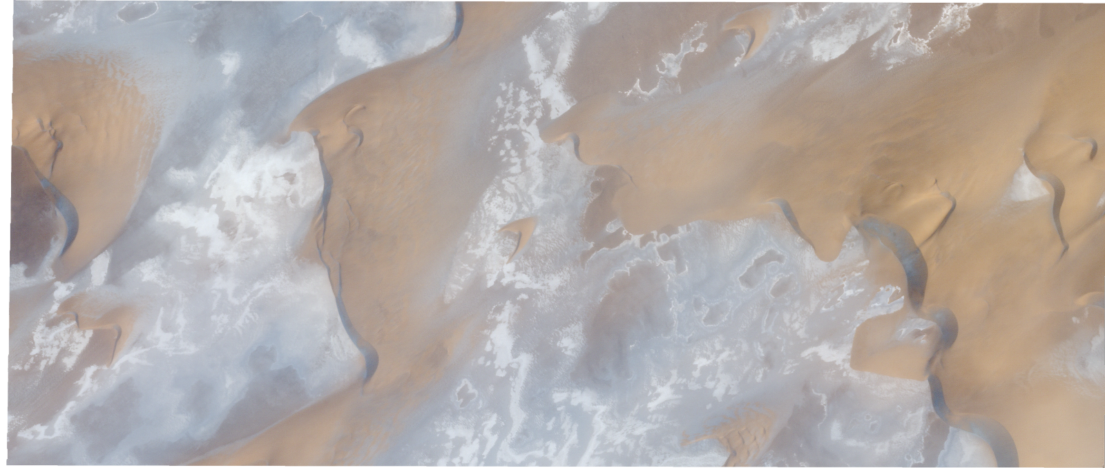
Resolution | 0.5 |
Product type | SSC_DEF_SC |
Cloud-Cover Percentage | 0.03 |
Start Date | 2022-03-26T08:52:16Z |
Stop Date | 2022-03-26T08:52:16Z |
Path | E018 |
Row | N17 |
Original Name | 20220326_085216_ssc2d3_0019_SkySatScene |
SSC_OPER_SSC_DEF_SC_20220327T092431_N17-193_E018-355_01
Download Product | Product Info | Browse
Resolution | 0.5 |
Product type | SSC_DEF_SC |
Cloud-Cover Percentage | 0.27 |
Start Date | 2022-03-27T09:24:31Z |
Stop Date | 2022-03-27T09:24:31Z |
Path | E018 |
Row | N17 |
Original Name | 20220327_092431_ssc1d3_0012_SkySatScene |
SSC_OPER_SSC_DEF_SC_20220327T092431_N17-224_E018-355_01
Download Product | Product Info | Browse
Resolution | 0.5 |
Product type | SSC_DEF_SC |
Cloud-Cover Percentage | 0.44 |
Start Date | 2022-03-27T09:24:31Z |
Stop Date | 2022-03-27T09:24:31Z |
Path | E018 |
Row | N17 |
Original Name | 20220327_092431_ssc1d3_0008_SkySatScene |
SSC_OPER_SSC_DEF_SC_20220327T092431_N17-213_E018-396_01
Download Product | Product Info | Browse
Resolution | 0.5 |
Product type | SSC_DEF_SC |
Cloud-Cover Percentage | 0.06 |
Start Date | 2022-03-27T09:24:31Z |
Stop Date | 2022-03-27T09:24:31Z |
Path | E018 |
Row | N17 |
Original Name | 20220327_092431_ssc1d1_0010_SkySatScene |
SSC_OPER_SSC_DEF_SC_20220327T092431_N17-209_E018-355_01
Download Product | Product Info | Browse
Resolution | 0.5 |
Product type | SSC_DEF_SC |
Cloud-Cover Percentage | 0.67 |
Start Date | 2022-03-27T09:24:31Z |
Stop Date | 2022-03-27T09:24:31Z |
Path | E018 |
Row | N17 |
Original Name | 20220327_092431_ssc1d3_0010_SkySatScene |
SSC_OPER_SSC_DEF_SC_20220326T085216_N17-173_E018-404_01
Download Product | Product Info | Browse
Resolution | 0.5 |
Product type | SSC_DEF_SC |
Cloud-Cover Percentage | 0 |
Start Date | 2022-03-26T08:52:16Z |
Stop Date | 2022-03-26T08:52:16Z |
Path | E018 |
Row | N17 |
Original Name | 20220326_085216_ssc2d3_0017_SkySatScene |
SSC_OPER_SSC_DEF_SC_20220327T092431_N17-192_E018-376_01
Download Product | Product Info | Browse
Resolution | 0.5 |
Product type | SSC_DEF_SC |
Cloud-Cover Percentage | 0 |
Start Date | 2022-03-27T09:24:31Z |
Stop Date | 2022-03-27T09:24:31Z |
Path | E018 |
Row | N17 |
Original Name | 20220327_092431_ssc1d2_0016_SkySatScene |
SSC_OPER_SSC_DEF_SC_20220313T084443_N17-173_E018-421_01
Download Product | Product Info | Browse
Resolution | 0.5 |
Product type | SSC_DEF_SC |
Cloud-Cover Percentage | 0.26 |
Start Date | 2022-03-13T08:44:43Z |
Stop Date | 2022-03-13T08:44:43Z |
Path | E018 |
Row | N17 |
Original Name | 20220313_084443_ssc4d2_0005_SkySatScene |
SSC_OPER_SSC_DEF_SC_20220327T092431_N17-201_E018-355_01
Download Product | Product Info | Browse
Resolution | 0.5 |
Product type | SSC_DEF_SC |
Cloud-Cover Percentage | 0.73 |
Start Date | 2022-03-27T09:24:31Z |
Stop Date | 2022-03-27T09:24:31Z |
Path | E018 |
Row | N17 |
Original Name | 20220327_092431_ssc1d3_0011_SkySatScene |
SSC_OPER_SSC_DEF_SC_20220327T092431_N17-237_E018-396_01
Download Product | Product Info | Browse
Resolution | 0.5 |
Product type | SSC_DEF_SC |
Cloud-Cover Percentage | 0.32 |
Start Date | 2022-03-27T09:24:31Z |
Stop Date | 2022-03-27T09:24:31Z |
Path | E018 |
Row | N17 |
Original Name | 20220327_092431_ssc1d1_0007_SkySatScene |
SSC_OPER_SSC_DEF_SC_20220313T084443_N17-160_E018-400_01
Download Product | Product Info | Browse
Resolution | 0.5 |
Product type | SSC_DEF_SC |
Cloud-Cover Percentage | 0.27 |
Start Date | 2022-03-13T08:44:43Z |
Stop Date | 2022-03-13T08:44:43Z |
Path | E018 |
Row | N17 |
Original Name | 20220313_084443_ssc4d3_0007_SkySatScene |
SSC_OPER_SSC_DEF_SC_20220327T092431_N17-184_E018-375_01
Download Product | Product Info | Browse
Resolution | 0.5 |
Product type | SSC_DEF_SC |
Cloud-Cover Percentage | 0 |
Start Date | 2022-03-27T09:24:31Z |
Stop Date | 2022-03-27T09:24:31Z |
Path | E018 |
Row | N17 |
Original Name | 20220327_092431_ssc1d2_0017_SkySatScene |
SSC_OPER_SSC_DEF_CO_20220313T084443_N17-214_E018-421_01
Download Product | Product Info | Browse
Resolution | 0.5 |
Product type | SSC_DEF_CO |
Cloud-Cover Percentage | 0.13 |
Start Date | 2022-03-13T08:44:43Z |
Stop Date | 2022-03-13T08:44:43Z |
Path | E018 |
Row | N17 |
Original Name | 20220313_084443_ssc4_u0001_SkySatCollect |
SSC_OPER_SSC_DEF_CO_20220327T092431_N17-217_E018-376_01
Download Product | Product Info | Browse
Resolution | 0.5 |
Product type | SSC_DEF_CO |
Cloud-Cover Percentage | 0.16 |
Start Date | 2022-03-27T09:24:31Z |
Stop Date | 2022-03-27T09:24:31Z |
Path | E018 |
Row | N17 |
Original Name | 20220327_092431_ssc1_u0001_SkySatCollect |
SSC_OPER_SSC_DEF_SC_20220326T085216_N17-170_E018-420_01
Download Product | Product Info | Browse
Resolution | 0.5 |
Product type | SSC_DEF_SC |
Cloud-Cover Percentage | 0 |
Start Date | 2022-03-26T08:52:16Z |
Stop Date | 2022-03-26T08:52:16Z |
Path | E018 |
Row | N17 |
Original Name | 20220326_085216_ssc2d2_0021_SkySatScene |
SSC_OPER_SSC_DEF_SC_20220327T092431_N17-248_E018-355_01
Download Product | Product Info | Browse
Resolution | 0.5 |
Product type | SSC_DEF_SC |
Cloud-Cover Percentage | 0.14 |
Start Date | 2022-03-27T09:24:31Z |
Stop Date | 2022-03-27T09:24:31Z |
Path | E018 |
Row | N17 |
Original Name | 20220327_092431_ssc1d3_0005_SkySatScene |
SSC_OPER_SSC_DEF_SC_20220327T092431_N17-216_E018-355_01
Download Product | Product Info | Browse
Resolution | 0.5 |
Product type | SSC_DEF_SC |
Cloud-Cover Percentage | 0.14 |
Start Date | 2022-03-27T09:24:31Z |
Stop Date | 2022-03-27T09:24:31Z |
Path | E018 |
Row | N17 |
Original Name | 20220327_092431_ssc1d3_0009_SkySatScene |
SSC_OPER_SSC_DEF_SC_20220313T084443_N17-167_E018-400_01
Download Product | Product Info | Browse
Resolution | 0.5 |
Product type | SSC_DEF_SC |
Cloud-Cover Percentage | 0.06 |
Start Date | 2022-03-13T08:44:43Z |
Stop Date | 2022-03-13T08:44:43Z |
Path | E018 |
Row | N17 |
Original Name | 20220313_084443_ssc4d3_0008_SkySatScene |
SSC_OPER_SSC_DEF_SC_20220327T092431_N17-182_E018-396_01
Download Product | Product Info | Browse
Resolution | 0.5 |
Product type | SSC_DEF_SC |
Cloud-Cover Percentage | 0 |
Start Date | 2022-03-27T09:24:31Z |
Stop Date | 2022-03-27T09:24:31Z |
Path | E018 |
Row | N17 |
Original Name | 20220327_092431_ssc1d1_0014_SkySatScene |
SSC_OPER_SSC_DEF_SC_20220327T092431_N17-245_E018-396_01
Download Product | Product Info | Browse
Resolution | 0.5 |
Product type | SSC_DEF_SC |
Cloud-Cover Percentage | 0.61 |
Start Date | 2022-03-27T09:24:31Z |
Stop Date | 2022-03-27T09:24:31Z |
Path | E018 |
Row | N17 |
Original Name | 20220327_092431_ssc1d1_0006_SkySatScene |
SSC_OPER_SSC_DEF_SC_20220327T092431_N17-231_E018-376_01
Download Product | Product Info | Browse
Resolution | 0.5 |
Product type | SSC_DEF_SC |
Cloud-Cover Percentage | 0.12 |
Start Date | 2022-03-27T09:24:31Z |
Stop Date | 2022-03-27T09:24:31Z |
Path | E018 |
Row | N17 |
Original Name | 20220327_092431_ssc1d2_0011_SkySatScene |
SSC_OPER_SSC_DEF_SC_20220327T092431_N17-223_E018-376_01
Download Product | Product Info | Browse
Resolution | 0.5 |
Product type | SSC_DEF_SC |
Cloud-Cover Percentage | 0.88 |
Start Date | 2022-03-27T09:24:31Z |
Stop Date | 2022-03-27T09:24:31Z |
Path | E018 |
Row | N17 |
Original Name | 20220327_092431_ssc1d2_0012_SkySatScene |
SSC_OPER_SSC_DEF_SC_20220327T092431_N17-207_E018-376_01
Download Product | Product Info | Browse
Resolution | 0.5 |
Product type | SSC_DEF_SC |
Cloud-Cover Percentage | 0.11 |
Start Date | 2022-03-27T09:24:31Z |
Stop Date | 2022-03-27T09:24:31Z |
Path | E018 |
Row | N17 |
Original Name | 20220327_092431_ssc1d2_0014_SkySatScene |
SSC_OPER_SSC_DEF_SC_20220313T084443_N17-165_E018-421_01
Download Product | Product Info | Browse
Resolution | 0.5 |
Product type | SSC_DEF_SC |
Cloud-Cover Percentage | 0.17 |
Start Date | 2022-03-13T08:44:43Z |
Stop Date | 2022-03-13T08:44:43Z |
Path | E018 |
Row | N17 |
Original Name | 20220313_084443_ssc4d2_0004_SkySatScene |
SSC_OPER_SSC_DEF_SC_20220326T085216_N17-164_E018-420_01
Download Product | Product Info | Browse
Resolution | 0.5 |
Product type | SSC_DEF_SC |
Cloud-Cover Percentage | 0 |
Start Date | 2022-03-26T08:52:16Z |
Stop Date | 2022-03-26T08:52:16Z |
Path | E018 |
Row | N17 |
Original Name | 20220326_085216_ssc2d2_0022_SkySatScene |
SSC_OPER_SSC_DEF_CO_20220326T085216_N17-214_E018-421_01
Download Product | Product Info | Browse
Resolution | 0.5 |
Product type | SSC_DEF_CO |
Cloud-Cover Percentage | 0.08 |
Start Date | 2022-03-26T08:52:16Z |
Stop Date | 2022-03-26T08:52:16Z |
Path | E018 |
Row | N17 |
Original Name | 20220326_085216_ssc2_u0001_SkySatCollect |
SSC_OPER_SSC_DEF_SC_20220326T085216_N17-166_E018-404_01
Download Product | Product Info | Browse
Resolution | 0.5 |
Product type | SSC_DEF_SC |
Cloud-Cover Percentage | 0 |
Start Date | 2022-03-26T08:52:16Z |
Stop Date | 2022-03-26T08:52:16Z |
Path | E018 |
Row | N17 |
Original Name | 20220326_085216_ssc2d3_0018_SkySatScene |
SSC_OPER_SSC_DEF_SC_20220327T092431_N17-200_E018-376_01
Download Product | Product Info | Browse
Resolution | 0.5 |
Product type | SSC_DEF_SC |
Cloud-Cover Percentage | 0 |
Start Date | 2022-03-27T09:24:31Z |
Stop Date | 2022-03-27T09:24:31Z |
Path | E018 |
Row | N17 |
Original Name | 20220327_092431_ssc1d2_0015_SkySatScene |
SSC_OPER_SSC_DEF_SC_20220329T104906_N17-224_E018-375_01
Download Product | Product Info | Browse
Resolution | 0.5 |
Product type | SSC_DEF_SC |
Cloud-Cover Percentage | 0.02 |
Start Date | 2022-03-29T10:49:06Z |
Stop Date | 2022-03-29T10:49:06Z |
Path | E018 |
Row | N17 |
Original Name | 20220329_104906_ssc16d2_0013_SkySatScene |
SSC_OPER_SSC_DEF_SC_20220329T104906_N17-235_E018-357_01
Download Product | Product Info | Browse
Resolution | 0.5 |
Product type | SSC_DEF_SC |
Cloud-Cover Percentage | 0 |
Start Date | 2022-03-29T10:49:06Z |
Stop Date | 2022-03-29T10:49:06Z |
Path | E018 |
Row | N17 |
Original Name | 20220329_104906_ssc16d3_0018_SkySatScene |
SSC_OPER_SSC_DEF_SC_20220329T122403_N17-233_E018-348_01
Download Product | Product Info | Browse
Resolution | 0.5 |
Product type | SSC_DEF_SC |
Cloud-Cover Percentage | 0 |
Start Date | 2022-03-29T12:24:03Z |
Stop Date | 2022-03-29T12:24:03Z |
Path | E018 |
Row | N17 |
Original Name | 20220329_122403_ssc10d1_0008_SkySatScene |
SSC_OPER_SSC_DEF_SC_20220329T122403_N17-226_E018-348_01
Download Product | Product Info | Browse
Resolution | 0.5 |
Product type | SSC_DEF_SC |
Cloud-Cover Percentage | 0 |
Start Date | 2022-03-29T12:24:03Z |
Stop Date | 2022-03-29T12:24:03Z |
Path | E018 |
Row | N17 |
Original Name | 20220329_122403_ssc10d1_0009_SkySatScene |
SSC_OPER_SSC_DEF_SC_20220329T104906_N17-215_E018-357_01
Download Product | Product Info | Browse
Resolution | 0.5 |
Product type | SSC_DEF_SC |
Cloud-Cover Percentage | 0 |
Start Date | 2022-03-29T10:49:06Z |
Stop Date | 2022-03-29T10:49:06Z |
Path | E018 |
Row | N17 |
Original Name | 20220329_104906_ssc16d3_0015_SkySatScene |
SSC_OPER_SSC_DEF_SC_20220329T104906_N17-242_E018-357_01
Download Product | Product Info | Browse
Resolution | 0.5 |
Product type | SSC_DEF_SC |
Cloud-Cover Percentage | 0 |
Start Date | 2022-03-29T10:49:06Z |
Stop Date | 2022-03-29T10:49:06Z |
Path | E018 |
Row | N17 |
Original Name | 20220329_104906_ssc16d3_0019_SkySatScene |
SSC_OPER_SSC_DEF_SC_20220329T104906_N17-230_E018-375_01
Download Product | Product Info | Browse
Resolution | 0.5 |
Product type | SSC_DEF_SC |
Cloud-Cover Percentage | 0 |
Start Date | 2022-03-29T10:49:06Z |
Stop Date | 2022-03-29T10:49:06Z |
Path | E018 |
Row | N17 |
Original Name | 20220329_104906_ssc16d2_0014_SkySatScene |
SSC_OPER_SSC_DEF_SC_20220329T122403_N17-219_E018-348_01
Download Product | Product Info | Browse
Resolution | 0.5 |
Product type | SSC_DEF_SC |
Cloud-Cover Percentage | 0 |
Start Date | 2022-03-29T12:24:03Z |
Stop Date | 2022-03-29T12:24:03Z |
Path | E018 |
Row | N17 |
Original Name | 20220329_122403_ssc10d1_0010_SkySatScene |
SSC_OPER_SSC_DEF_SC_20220329T104906_N17-237_E018-375_01
Download Product | Product Info | Browse
Resolution | 0.5 |
Product type | SSC_DEF_SC |
Cloud-Cover Percentage | 0 |
Start Date | 2022-03-29T10:49:06Z |
Stop Date | 2022-03-29T10:49:06Z |
Path | E018 |
Row | N17 |
Original Name | 20220329_104906_ssc16d2_0015_SkySatScene |
SSC_OPER_SSC_DEF_SC_20220329T104906_N17-228_E018-357_01
Download Product | Product Info | Browse
Resolution | 0.5 |
Product type | SSC_DEF_SC |
Cloud-Cover Percentage | 0 |
Start Date | 2022-03-29T10:49:06Z |
Stop Date | 2022-03-29T10:49:06Z |
Path | E018 |
Row | N17 |
Original Name | 20220329_104906_ssc16d3_0017_SkySatScene |
SSC_OPER_SSC_DEF_SC_20220329T104906_N17-244_E018-375_01
Download Product | Product Info | Browse
Resolution | 0.5 |
Product type | SSC_DEF_SC |
Cloud-Cover Percentage | 0 |
Start Date | 2022-03-29T10:49:06Z |
Stop Date | 2022-03-29T10:49:06Z |
Path | E018 |
Row | N17 |
Original Name | 20220329_104906_ssc16d2_0016_SkySatScene |
SSC_OPER_SSC_DEF_SC_20220329T122403_N17-239_E018-348_01
Download Product | Product Info | Browse
Resolution | 0.5 |
Product type | SSC_DEF_SC |
Cloud-Cover Percentage | 0 |
Start Date | 2022-03-29T12:24:03Z |
Stop Date | 2022-03-29T12:24:03Z |
Path | E018 |
Row | N17 |
Original Name | 20220329_122403_ssc10d1_0007_SkySatScene |
SSC_OPER_SSC_DEF_CO_20220329T104906_N17-193_E018-376_01
Download Product | Product Info | Browse
Resolution | 0.5 |
Product type | SSC_DEF_CO |
Cloud-Cover Percentage | 0.03 |
Start Date | 2022-03-29T10:49:06Z |
Stop Date | 2022-03-29T10:49:06Z |
Path | E018 |
Row | N17 |
Original Name | 20220329_104906_ssc16_u0001_SkySatCollect |
SSC_OPER_SSC_DEF_SC_20220329T104906_N17-217_E018-375_01
Download Product | Product Info | Browse
Resolution | 0.5 |
Product type | SSC_DEF_SC |
Cloud-Cover Percentage | 0 |
Start Date | 2022-03-29T10:49:06Z |
Stop Date | 2022-03-29T10:49:06Z |
Path | E018 |
Row | N17 |
Original Name | 20220329_104906_ssc16d2_0012_SkySatScene |
SSC_OPER_SSC_DEF_SC_20220329T104906_N17-222_E018-357_01
Download Product | Product Info | Browse
Resolution | 0.5 |
Product type | SSC_DEF_SC |
Cloud-Cover Percentage | 0 |
Start Date | 2022-03-29T10:49:06Z |
Stop Date | 2022-03-29T10:49:06Z |
Path | E018 |
Row | N17 |
Original Name | 20220329_104906_ssc16d3_0016_SkySatScene |
SSC_OPER_SSC_DEF_CO_20220329T122403_N17-228_E018-331_01
Download Product | Product Info | Browse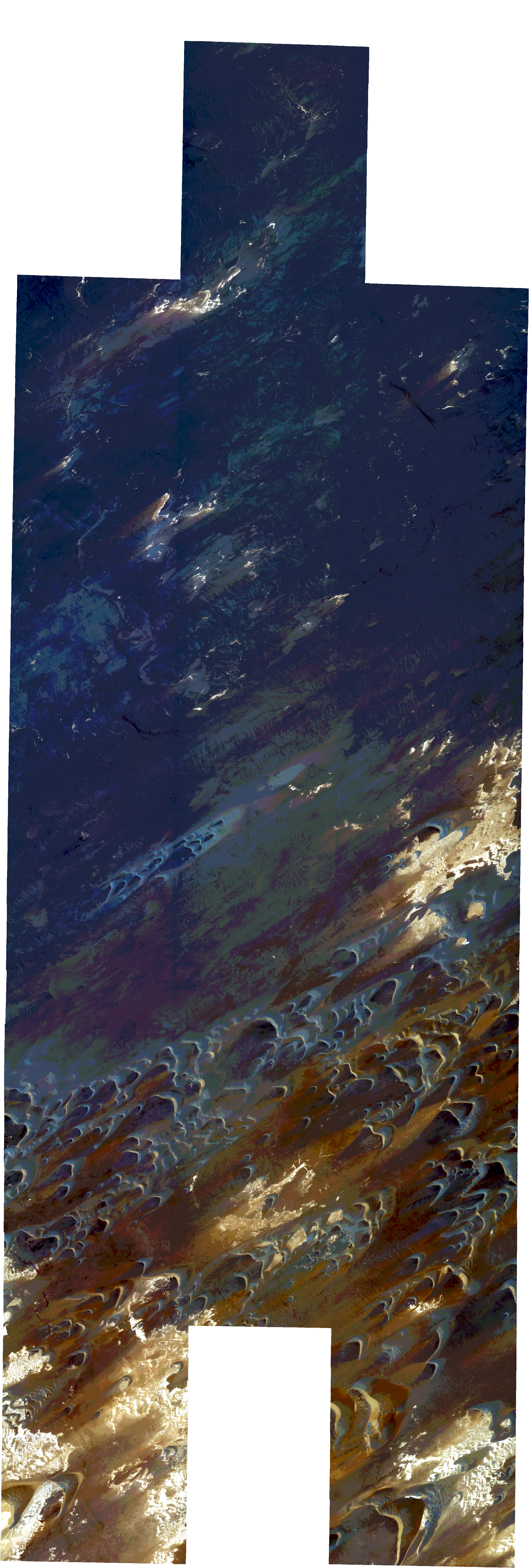
Resolution | 0.5 |
Product type | SSC_DEF_CO |
Cloud-Cover Percentage | 0 |
Start Date | 2022-03-29T12:24:03Z |
Stop Date | 2022-03-29T12:24:03Z |
Path | E018 |
Row | N17 |
Original Name | 20220329_122403_ssc10_u0001_SkySatCollect |
SSC_OPER_SSC_DEF_SC_20220410T122914_N17-157_E018-399_01
Download Product | Product Info | Browse
Resolution | 0.5 |
Product type | SSC_DEF_SC |
Cloud-Cover Percentage | 0 |
Start Date | 2022-04-10T12:29:14Z |
Stop Date | 2022-04-10T12:29:14Z |
Path | E018 |
Row | N17 |
Original Name | 20220410_122914_ssc8d1_0016_SkySatScene |
SSC_OPER_SSC_DEF_SC_20220410T122523_N17-188_E018-405_01
Download Product | Product Info | Browse
Resolution | 0.5 |
Product type | SSC_DEF_SC |
Cloud-Cover Percentage | 0 |
Start Date | 2022-04-10T12:25:23Z |
Stop Date | 2022-04-10T12:25:23Z |
Path | E018 |
Row | N17 |
Original Name | 20220410_122523_ssc17d3_0013_SkySatScene |
SSC_OPER_SSC_DEF_SC_20220410T122523_N17-174_E018-420_01
Download Product | Product Info | Browse
Resolution | 0.5 |
Product type | SSC_DEF_SC |
Cloud-Cover Percentage | 0 |
Start Date | 2022-04-10T12:25:23Z |
Stop Date | 2022-04-10T12:25:23Z |
Path | E018 |
Row | N17 |
Original Name | 20220410_122523_ssc17d2_0007_SkySatScene |
SSC_OPER_SSC_DEF_CO_20220409T064051_N17-190_E018-421_01
Download Product | Product Info | Browse
Resolution | 0.5 |
Product type | SSC_DEF_CO |
Cloud-Cover Percentage | 0.02 |
Start Date | 2022-04-09T06:40:51Z |
Stop Date | 2022-04-09T06:40:51Z |
Path | E018 |
Row | N17 |
Original Name | 20220409_064051_ssc16_u0001_SkySatCollect |
SSC_OPER_SSC_DEF_SC_20220410T122914_N17-181_E018-398_01
Download Product | Product Info | Browse
Resolution | 0.5 |
Product type | SSC_DEF_SC |
Cloud-Cover Percentage | 0 |
Start Date | 2022-04-10T12:29:14Z |
Stop Date | 2022-04-10T12:29:14Z |
Path | E018 |
Row | N17 |
Original Name | 20220410_122914_ssc8d1_0013_SkySatScene |
SSC_OPER_SSC_DEF_SC_20220410T122523_N17-162_E018-420_01
Download Product | Product Info | Browse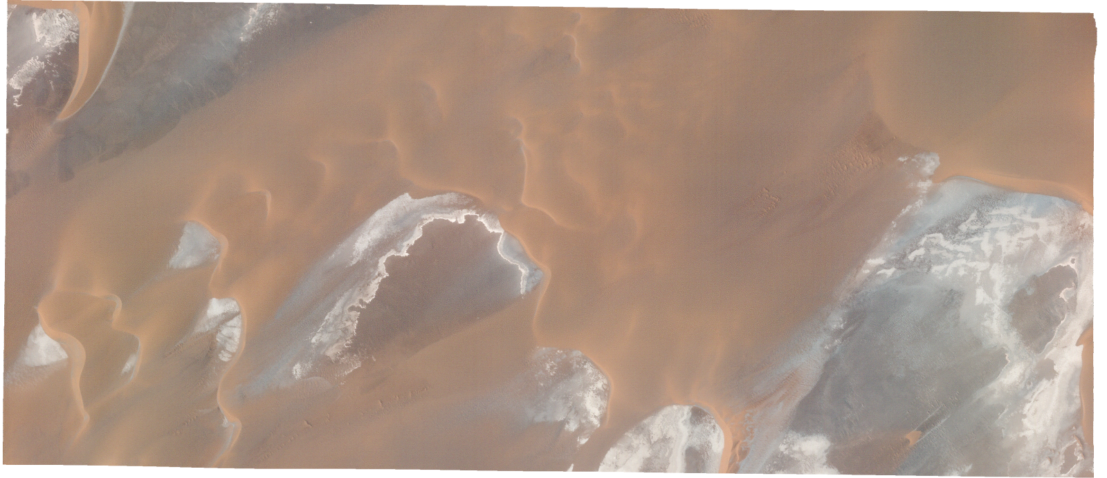
Resolution | 0.5 |
Product type | SSC_DEF_SC |
Cloud-Cover Percentage | 0 |
Start Date | 2022-04-10T12:25:23Z |
Stop Date | 2022-04-10T12:25:23Z |
Path | E018 |
Row | N17 |
Original Name | 20220410_122523_ssc17d2_0005_SkySatScene |
SSC_OPER_SSC_DEF_SC_20220410T122523_N17-165_E018-405_01
Download Product | Product Info | Browse
Resolution | 0.5 |
Product type | SSC_DEF_SC |
Cloud-Cover Percentage | 0 |
Start Date | 2022-04-10T12:25:23Z |
Stop Date | 2022-04-10T12:25:23Z |
Path | E018 |
Row | N17 |
Original Name | 20220410_122523_ssc17d3_0009_SkySatScene |
SSC_OPER_SSC_DEF_SC_20220410T122914_N17-165_E018-399_01
Download Product | Product Info | Browse
Resolution | 0.5 |
Product type | SSC_DEF_SC |
Cloud-Cover Percentage | 0.01 |
Start Date | 2022-04-10T12:29:14Z |
Stop Date | 2022-04-10T12:29:14Z |
Path | E018 |
Row | N17 |
Original Name | 20220410_122914_ssc8d1_0015_SkySatScene |
SSC_OPER_SSC_DEF_SC_20220410T122523_N17-192_E018-419_01
Download Product | Product Info | Browse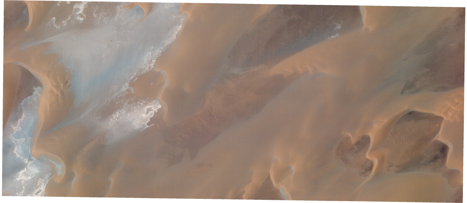
Resolution | 0.5 |
Product type | SSC_DEF_SC |
Cloud-Cover Percentage | 0 |
Start Date | 2022-04-10T12:25:23Z |
Stop Date | 2022-04-10T12:25:23Z |
Path | E018 |
Row | N17 |
Original Name | 20220410_122523_ssc17d2_0010_SkySatScene |
SSC_OPER_SSC_DEF_SC_20220410T122523_N17-171_E018-405_01
Download Product | Product Info | Browse
Resolution | 0.5 |
Product type | SSC_DEF_SC |
Cloud-Cover Percentage | 0 |
Start Date | 2022-04-10T12:25:23Z |
Stop Date | 2022-04-10T12:25:23Z |
Path | E018 |
Row | N17 |
Original Name | 20220410_122523_ssc17d3_0010_SkySatScene |
SSC_OPER_SSC_DEF_SC_20220410T122523_N17-180_E018-420_01
Download Product | Product Info | Browse
Resolution | 0.5 |
Product type | SSC_DEF_SC |
Cloud-Cover Percentage | 0 |
Start Date | 2022-04-10T12:25:23Z |
Stop Date | 2022-04-10T12:25:23Z |
Path | E018 |
Row | N17 |
Original Name | 20220410_122523_ssc17d2_0008_SkySatScene |
SSC_OPER_SSC_DEF_SC_20220410T122523_N17-186_E018-419_01
Download Product | Product Info | Browse
Resolution | 0.5 |
Product type | SSC_DEF_SC |
Cloud-Cover Percentage | 0 |
Start Date | 2022-04-10T12:25:23Z |
Stop Date | 2022-04-10T12:25:23Z |
Path | E018 |
Row | N17 |
Original Name | 20220410_122523_ssc17d2_0009_SkySatScene |
SSC_OPER_SSC_DEF_SC_20220410T122523_N17-168_E018-420_01
Download Product | Product Info | Browse
Resolution | 0.5 |
Product type | SSC_DEF_SC |
Cloud-Cover Percentage | 0 |
Start Date | 2022-04-10T12:25:23Z |
Stop Date | 2022-04-10T12:25:23Z |
Path | E018 |
Row | N17 |
Original Name | 20220410_122523_ssc17d2_0006_SkySatScene |
SSC_OPER_SSC_DEF_SC_20220410T122523_N17-182_E018-405_01
Download Product | Product Info | Browse
Resolution | 0.5 |
Product type | SSC_DEF_SC |
Cloud-Cover Percentage | 0 |
Start Date | 2022-04-10T12:25:23Z |
Stop Date | 2022-04-10T12:25:23Z |
Path | E018 |
Row | N17 |
Original Name | 20220410_122523_ssc17d3_0012_SkySatScene |
SSC_OPER_SSC_DEF_SC_20220410T122914_N17-173_E018-399_01
Download Product | Product Info | Browse
Resolution | 0.5 |
Product type | SSC_DEF_SC |
Cloud-Cover Percentage | 0 |
Start Date | 2022-04-10T12:29:14Z |
Stop Date | 2022-04-10T12:29:14Z |
Path | E018 |
Row | N17 |
Original Name | 20220410_122914_ssc8d1_0014_SkySatScene |
SSC_OPER_SSC_DEF_SC_20220410T122523_N17-176_E018-405_01
Download Product | Product Info | Browse
Resolution | 0.5 |
Product type | SSC_DEF_SC |
Cloud-Cover Percentage | 0 |
Start Date | 2022-04-10T12:25:23Z |
Stop Date | 2022-04-10T12:25:23Z |
Path | E018 |
Row | N17 |
Original Name | 20220410_122523_ssc17d3_0011_SkySatScene |
SSC_OPER_SSC_DEF_SC_20220410T122914_N17-189_E018-398_01
Download Product | Product Info | Browse
Resolution | 0.5 |
Product type | SSC_DEF_SC |
Cloud-Cover Percentage | 0 |
Start Date | 2022-04-10T12:29:14Z |
Stop Date | 2022-04-10T12:29:14Z |
Path | E018 |
Row | N17 |
Original Name | 20220410_122914_ssc8d1_0012_SkySatScene |
SSC_OPER_SSC_DEF_SC_20220423T084040_N17-219_E018-419_01
Download Product | Product Info | Browse
Resolution | 0.5 |
Product type | SSC_DEF_SC |
Cloud-Cover Percentage | 0 |
Start Date | 2022-04-23T08:40:40Z |
Stop Date | 2022-04-23T08:40:40Z |
Path | E018 |
Row | N17 |
Original Name | 20220423_084040_ssc13d2_0006_SkySatScene |
SSC_OPER_SSC_DEF_SC_20220410T122914_N17-224_E018-354_01
Download Product | Product Info | Browse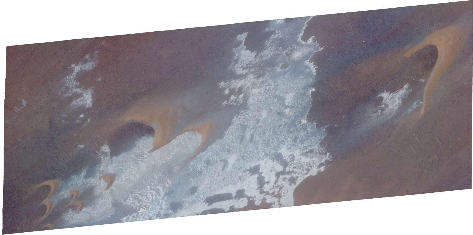
Resolution | 0.5 |
Product type | SSC_DEF_SC |
Cloud-Cover Percentage | 0 |
Start Date | 2022-04-10T12:29:14Z |
Stop Date | 2022-04-10T12:29:14Z |
Path | E018 |
Row | N17 |
Original Name | 20220410_122914_ssc8d3_0007_SkySatScene |
SSC_OPER_SSC_DEF_SC_20220410T122914_N17-213_E018-398_01
Download Product | Product Info | Browse
Resolution | 0.5 |
Product type | SSC_DEF_SC |
Cloud-Cover Percentage | 0.01 |
Start Date | 2022-04-10T12:29:14Z |
Stop Date | 2022-04-10T12:29:14Z |
Path | E018 |
Row | N17 |
Original Name | 20220410_122914_ssc8d1_0009_SkySatScene |
SSC_OPER_SSC_DEF_SC_20220423T084040_N17-227_E018-419_01
Download Product | Product Info | Browse
Resolution | 0.5 |
Product type | SSC_DEF_SC |
Cloud-Cover Percentage | 0 |
Start Date | 2022-04-23T08:40:40Z |
Stop Date | 2022-04-23T08:40:40Z |
Path | E018 |
Row | N17 |
Original Name | 20220423_084040_ssc13d2_0005_SkySatScene |
SSC_OPER_SSC_DEF_SC_20220423T093907_N17-217_E018-398_01
Download Product | Product Info | Browse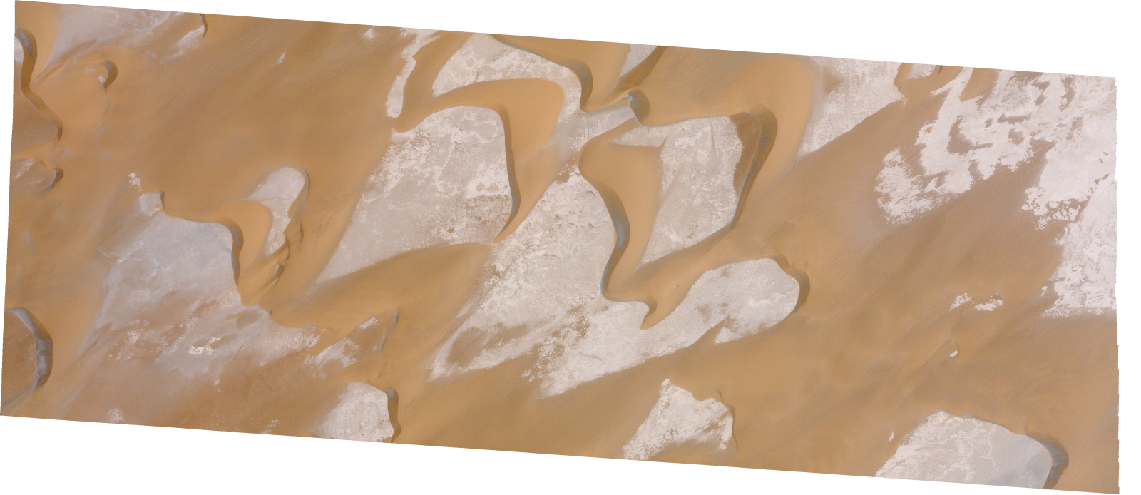
Resolution | 0.5 |
Product type | SSC_DEF_SC |
Cloud-Cover Percentage | 0 |
Start Date | 2022-04-23T09:39:07Z |
Stop Date | 2022-04-23T09:39:07Z |
Path | E018 |
Row | N17 |
Original Name | 20220423_093907_ssc1d1_0014_SkySatScene |
SSC_OPER_SSC_DEF_SC_20220423T093907_N17-242_E018-353_01
Download Product | Product Info | Browse
Resolution | 0.5 |
Product type | SSC_DEF_SC |
Cloud-Cover Percentage | 0 |
Start Date | 2022-04-23T09:39:07Z |
Stop Date | 2022-04-23T09:39:07Z |
Path | E018 |
Row | N17 |
Original Name | 20220423_093907_ssc1d3_0017_SkySatScene |
SSC_OPER_SSC_DEF_SC_20220410T122914_N17-233_E018-376_01
Download Product | Product Info | Browse
Resolution | 0.5 |
Product type | SSC_DEF_SC |
Cloud-Cover Percentage | 0 |
Start Date | 2022-04-10T12:29:14Z |
Stop Date | 2022-04-10T12:29:14Z |
Path | E018 |
Row | N17 |
Original Name | 20220410_122914_ssc8d2_0010_SkySatScene |
SSC_OPER_SSC_DEF_SC_20220410T122523_N17-217_E018-405_01
Download Product | Product Info | Browse
Resolution | 0.5 |
Product type | SSC_DEF_SC |
Cloud-Cover Percentage | 0 |
Start Date | 2022-04-10T12:25:23Z |
Stop Date | 2022-04-10T12:25:23Z |
Path | E018 |
Row | N17 |
Original Name | 20220410_122523_ssc17d3_0018_SkySatScene |
SSC_OPER_SSC_DEF_SC_20220410T122828_N17-220_E018-351_01
Download Product | Product Info | Browse
Resolution | 0.5 |
Product type | SSC_DEF_SC |
Cloud-Cover Percentage | 0 |
Start Date | 2022-04-10T12:28:28Z |
Stop Date | 2022-04-10T12:28:28Z |
Path | E018 |
Row | N17 |
Original Name | 20220410_122828_ssc8d1_0007_SkySatScene |
SSC_OPER_SSC_DEF_SC_20220423T093907_N17-225_E018-397_01
Download Product | Product Info | Browse
Resolution | 0.5 |
Product type | SSC_DEF_SC |
Cloud-Cover Percentage | 0 |
Start Date | 2022-04-23T09:39:07Z |
Stop Date | 2022-04-23T09:39:07Z |
Path | E018 |
Row | N17 |
Original Name | 20220423_093907_ssc1d1_0015_SkySatScene |
SSC_OPER_SSC_DEF_SC_20220410T122914_N17-241_E018-376_01
Download Product | Product Info | Browse
Resolution | 0.5 |
Product type | SSC_DEF_SC |
Cloud-Cover Percentage | 0 |
Start Date | 2022-04-10T12:29:14Z |
Stop Date | 2022-04-10T12:29:14Z |
Path | E018 |
Row | N17 |
Original Name | 20220410_122914_ssc8d2_0009_SkySatScene |
SSC_OPER_SSC_DEF_SC_20220410T122523_N17-215_E018-419_01
Download Product | Product Info | Browse
Resolution | 0.5 |
Product type | SSC_DEF_SC |
Cloud-Cover Percentage | 0 |
Start Date | 2022-04-10T12:25:23Z |
Stop Date | 2022-04-10T12:25:23Z |
Path | E018 |
Row | N17 |
Original Name | 20220410_122523_ssc17d2_0014_SkySatScene |
SSC_OPER_SSC_DEF_SC_20220410T122828_N17-246_E018-351_01
Download Product | Product Info | Browse
Resolution | 0.5 |
Product type | SSC_DEF_SC |
Cloud-Cover Percentage | 0 |
Start Date | 2022-04-10T12:28:28Z |
Stop Date | 2022-04-10T12:28:28Z |
Path | E018 |
Row | N17 |
Original Name | 20220410_122828_ssc8d1_0004_SkySatScene |
SSC_OPER_SSC_DEF_CO_20220410T122523_N17-183_E018-421_01
Download Product | Product Info | Browse
Resolution | 0.5 |
Product type | SSC_DEF_CO |
Cloud-Cover Percentage | 0 |
Start Date | 2022-04-10T12:25:23Z |
Stop Date | 2022-04-10T12:25:23Z |
Path | E018 |
Row | N17 |
Original Name | 20220410_122523_ssc17_u0001_SkySatCollect |
SSC_OPER_SSC_DEF_SC_20220423T084040_N17-226_E018-397_01
Download Product | Product Info | Browse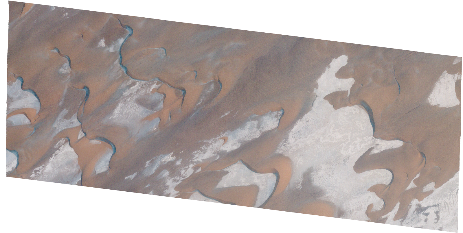
Resolution | 0.5 |
Product type | SSC_DEF_SC |
Cloud-Cover Percentage | 0 |
Start Date | 2022-04-23T08:40:40Z |
Stop Date | 2022-04-23T08:40:40Z |
Path | E018 |
Row | N17 |
Original Name | 20220423_084040_ssc13d1_0009_SkySatScene |
SSC_OPER_SSC_DEF_SC_20220423T084040_N17-211_E018-419_01
Download Product | Product Info | Browse
Resolution | 0.5 |
Product type | SSC_DEF_SC |
Cloud-Cover Percentage | 0.07 |
Start Date | 2022-04-23T08:40:40Z |
Stop Date | 2022-04-23T08:40:40Z |
Path | E018 |
Row | N17 |
Original Name | 20220423_084040_ssc13d2_0007_SkySatScene |
SSC_OPER_SSC_DEF_SC_20220410T122523_N17-227_E018-419_01
Download Product | Product Info | Browse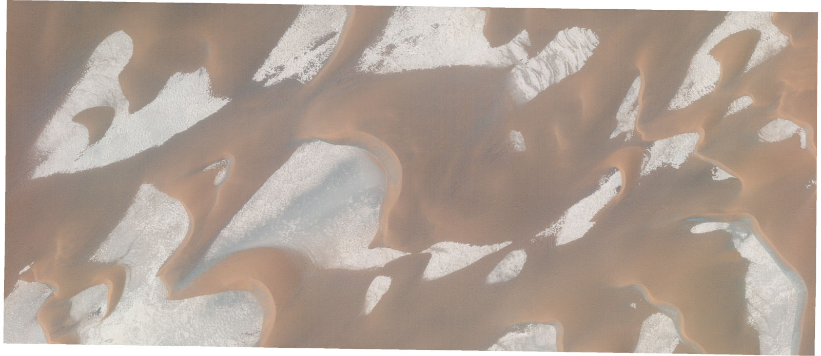
Resolution | 0.5 |
Product type | SSC_DEF_SC |
Cloud-Cover Percentage | 0 |
Start Date | 2022-04-10T12:25:23Z |
Stop Date | 2022-04-10T12:25:23Z |
Path | E018 |
Row | N17 |
Original Name | 20220410_122523_ssc17d2_0016_SkySatScene |
SSC_OPER_SSC_DEF_SC_20220410T122523_N17-209_E018-419_01
Download Product | Product Info | Browse
Resolution | 0.5 |
Product type | SSC_DEF_SC |
Cloud-Cover Percentage | 0 |
Start Date | 2022-04-10T12:25:23Z |
Stop Date | 2022-04-10T12:25:23Z |
Path | E018 |
Row | N17 |
Original Name | 20220410_122523_ssc17d2_0013_SkySatScene |
SSC_OPER_SSC_DEF_SC_20220410T122523_N17-229_E018-404_01
Download Product | Product Info | Browse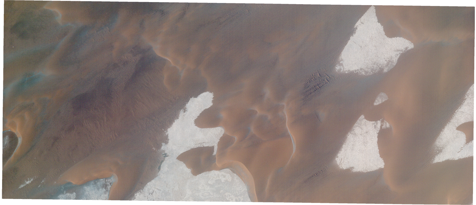
Resolution | 0.5 |
Product type | SSC_DEF_SC |
Cloud-Cover Percentage | 0 |
Start Date | 2022-04-10T12:25:23Z |
Stop Date | 2022-04-10T12:25:23Z |
Path | E018 |
Row | N17 |
Original Name | 20220410_122523_ssc17d3_0020_SkySatScene |
SSC_OPER_SSC_DEF_SC_20220410T122523_N17-211_E018-405_01
Download Product | Product Info | Browse
Resolution | 0.5 |
Product type | SSC_DEF_SC |
Cloud-Cover Percentage | 0 |
Start Date | 2022-04-10T12:25:23Z |
Stop Date | 2022-04-10T12:25:23Z |
Path | E018 |
Row | N17 |
Original Name | 20220410_122523_ssc17d3_0017_SkySatScene |
SSC_OPER_SSC_DEF_SC_20220410T122914_N17-232_E018-354_01
Download Product | Product Info | Browse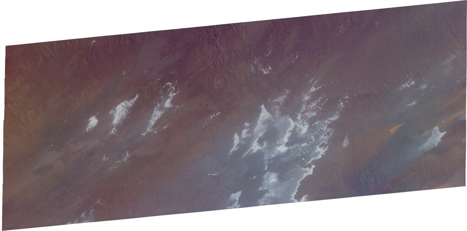
Resolution | 0.5 |
Product type | SSC_DEF_SC |
Cloud-Cover Percentage | 0 |
Start Date | 2022-04-10T12:29:14Z |
Stop Date | 2022-04-10T12:29:14Z |
Path | E018 |
Row | N17 |
Original Name | 20220410_122914_ssc8d3_0006_SkySatScene |
SSC_OPER_SSC_DEF_SC_20220410T122914_N17-240_E018-354_01
Download Product | Product Info | Browse
Resolution | 0.5 |
Product type | SSC_DEF_SC |
Cloud-Cover Percentage | 0 |
Start Date | 2022-04-10T12:29:14Z |
Stop Date | 2022-04-10T12:29:14Z |
Path | E018 |
Row | N17 |
Original Name | 20220410_122914_ssc8d3_0005_SkySatScene |
SSC_OPER_SSC_DEF_SC_20220410T122914_N17-225_E018-376_01
Download Product | Product Info | Browse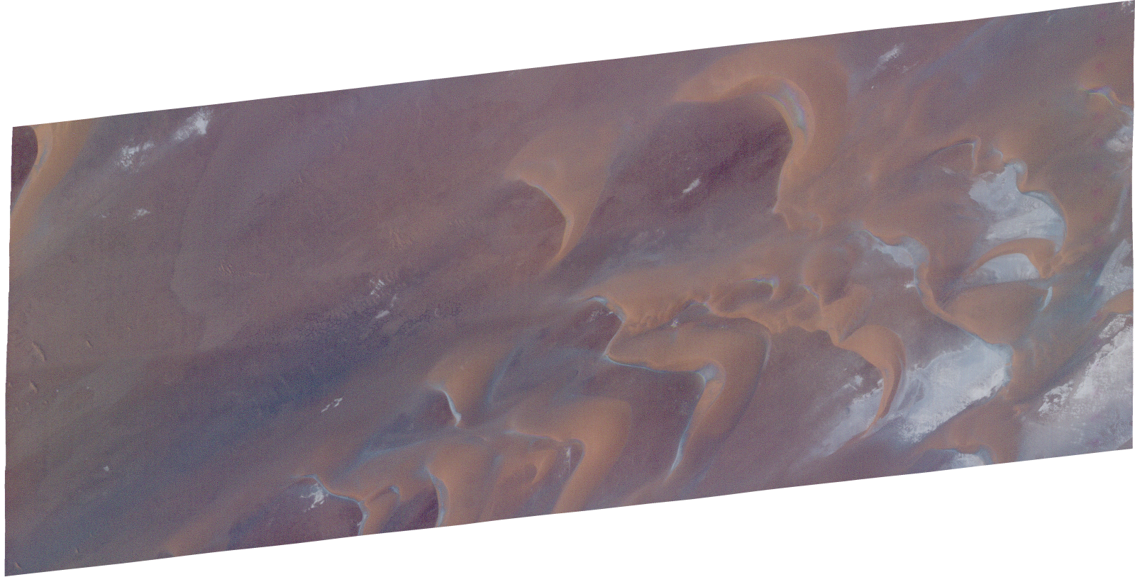
Resolution | 0.5 |
Product type | SSC_DEF_SC |
Cloud-Cover Percentage | 0 |
Start Date | 2022-04-10T12:29:14Z |
Stop Date | 2022-04-10T12:29:14Z |
Path | E018 |
Row | N17 |
Original Name | 20220410_122914_ssc8d2_0011_SkySatScene |
SSC_OPER_SSC_DEF_SC_20220423T093907_N17-237_E018-376_01
Download Product | Product Info | Browse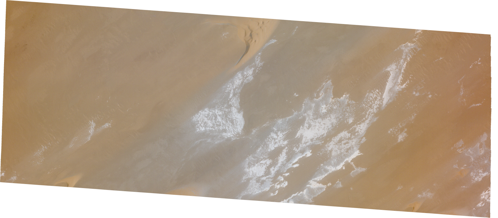
Resolution | 0.5 |
Product type | SSC_DEF_SC |
Cloud-Cover Percentage | 0 |
Start Date | 2022-04-23T09:39:07Z |
Stop Date | 2022-04-23T09:39:07Z |
Path | E018 |
Row | N17 |
Original Name | 20220423_093907_ssc1d2_0013_SkySatScene |
SSC_OPER_SSC_DEF_SC_20220423T093907_N17-218_E018-354_01
Download Product | Product Info | Browse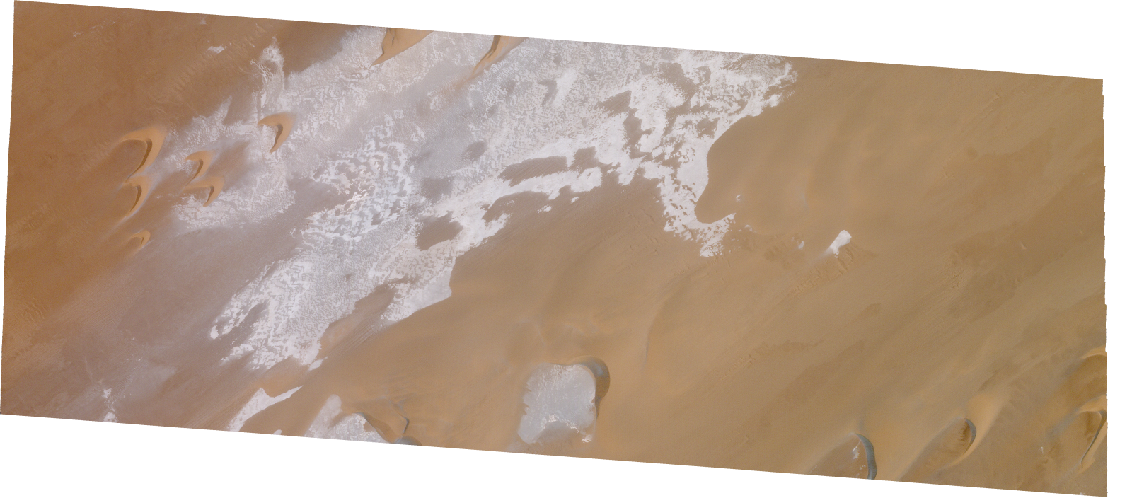
Resolution | 0.5 |
Product type | SSC_DEF_SC |
Cloud-Cover Percentage | 0 |
Start Date | 2022-04-23T09:39:07Z |
Stop Date | 2022-04-23T09:39:07Z |
Path | E018 |
Row | N17 |
Original Name | 20220423_093907_ssc1d3_0014_SkySatScene |
SSC_OPER_SSC_DEF_SC_20220410T122828_N17-237_E018-351_01
Download Product | Product Info | Browse
Resolution | 0.5 |
Product type | SSC_DEF_SC |
Cloud-Cover Percentage | 0 |
Start Date | 2022-04-10T12:28:28Z |
Stop Date | 2022-04-10T12:28:28Z |
Path | E018 |
Row | N17 |
Original Name | 20220410_122828_ssc8d1_0005_SkySatScene |
SSC_OPER_SSC_DEF_SC_20220423T122837_N17-239_E018-350_01
Download Product | Product Info | Browse
Resolution | 0.5 |
Product type | SSC_DEF_SC |
Cloud-Cover Percentage | 0 |
Start Date | 2022-04-23T12:28:37Z |
Stop Date | 2022-04-23T12:28:37Z |
Path | E018 |
Row | N17 |
Original Name | 20220423_122837_ssc7d1_0006_SkySatScene |
SSC_OPER_SSC_DEF_CO_20220410T122523_N17-271_E018-420_01
Download Product | Product Info | Browse
Resolution | 0.5 |
Product type | SSC_DEF_CO |
Cloud-Cover Percentage | 0 |
Start Date | 2022-04-10T12:25:23Z |
Stop Date | 2022-04-10T12:25:23Z |
Path | E018 |
Row | N17 |
Original Name | 20220410_122523_ssc17_u0002_SkySatCollect |
SSC_OPER_SSC_DEF_SC_20220423T093907_N17-234_E018-353_01
Download Product | Product Info | Browse
Resolution | 0.5 |
Product type | SSC_DEF_SC |
Cloud-Cover Percentage | 0 |
Start Date | 2022-04-23T09:39:07Z |
Stop Date | 2022-04-23T09:39:07Z |
Path | E018 |
Row | N17 |
Original Name | 20220423_093907_ssc1d3_0016_SkySatScene |
SSC_OPER_SSC_DEF_SC_20220423T084040_N17-209_E018-397_01
Download Product | Product Info | Browse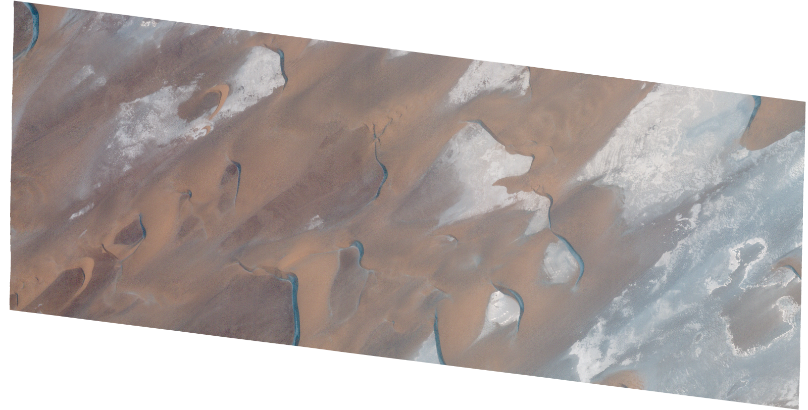
Resolution | 0.5 |
Product type | SSC_DEF_SC |
Cloud-Cover Percentage | 0 |
Start Date | 2022-04-23T08:40:40Z |
Stop Date | 2022-04-23T08:40:40Z |
Path | E018 |
Row | N17 |
Original Name | 20220423_084040_ssc13d1_0011_SkySatScene |
SSC_OPER_SSC_DEF_SC_20220423T122837_N17-218_E018-350_01
Download Product | Product Info | Browse
Resolution | 0.5 |
Product type | SSC_DEF_SC |
Cloud-Cover Percentage | 0 |
Start Date | 2022-04-23T12:28:37Z |
Stop Date | 2022-04-23T12:28:37Z |
Path | E018 |
Row | N17 |
Original Name | 20220423_122837_ssc7d1_0009_SkySatScene |
SSC_OPER_SSC_DEF_SC_20220410T122914_N17-217_E018-376_01
Download Product | Product Info | Browse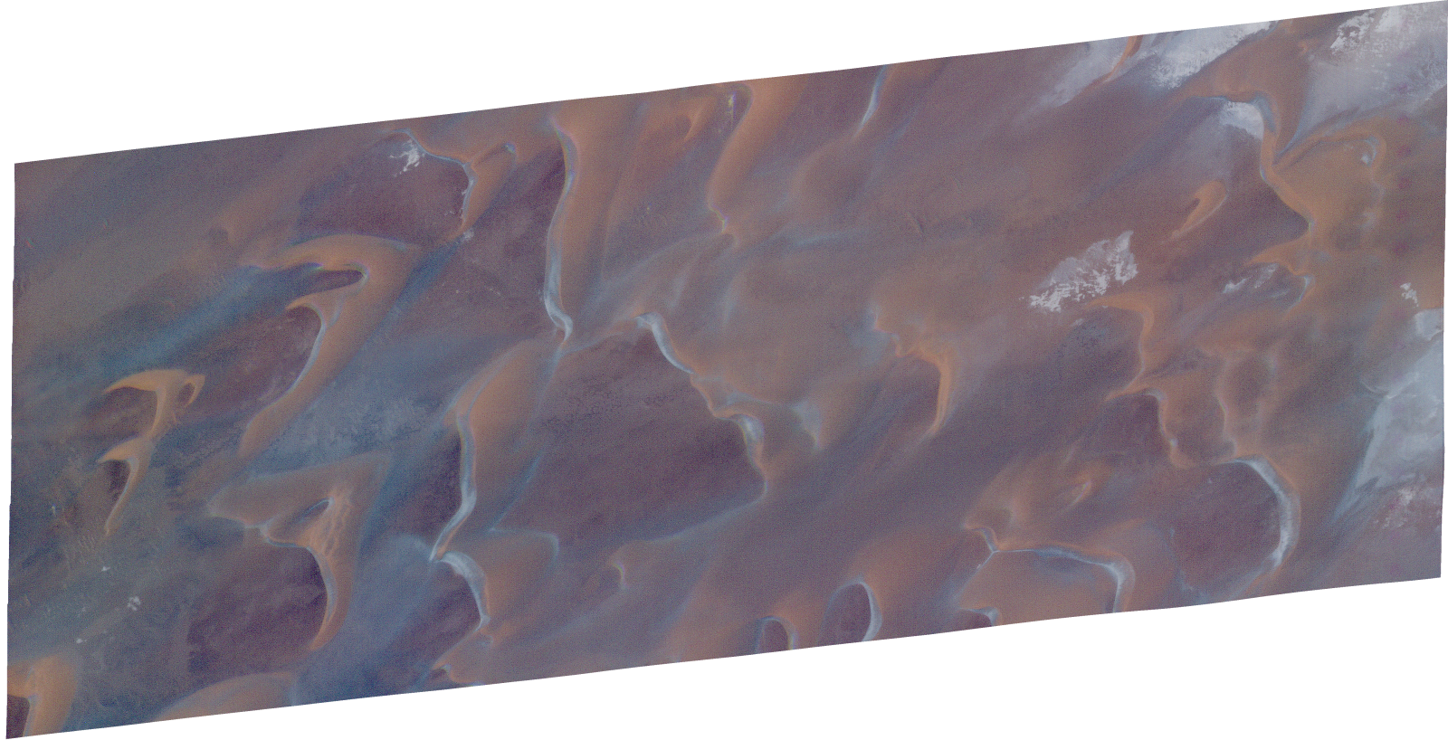
Resolution | 0.5 |
Product type | SSC_DEF_SC |
Cloud-Cover Percentage | 0 |
Start Date | 2022-04-10T12:29:14Z |
Stop Date | 2022-04-10T12:29:14Z |
Path | E018 |
Row | N17 |
Original Name | 20220410_122914_ssc8d2_0012_SkySatScene |
SSC_OPER_SSC_DEF_CO_20220423T084040_N17-193_E018-419_01
Download Product | Product Info | Browse
Resolution | 0.5 |
Product type | SSC_DEF_CO |
Cloud-Cover Percentage | 0.06 |
Start Date | 2022-04-23T08:40:40Z |
Stop Date | 2022-04-23T08:40:40Z |
Path | E018 |
Row | N17 |
Original Name | 20220423_084040_ssc13_u0001_SkySatCollect |
SSC_OPER_SSC_DEF_SC_20220423T122837_N17-232_E018-350_01
Download Product | Product Info | Browse
Resolution | 0.5 |
Product type | SSC_DEF_SC |
Cloud-Cover Percentage | 0 |
Start Date | 2022-04-23T12:28:37Z |
Stop Date | 2022-04-23T12:28:37Z |
Path | E018 |
Row | N17 |
Original Name | 20220423_122837_ssc7d1_0007_SkySatScene |
SSC_OPER_SSC_DEF_SC_20220423T093907_N17-226_E018-354_01
Download Product | Product Info | Browse
Resolution | 0.5 |
Product type | SSC_DEF_SC |
Cloud-Cover Percentage | 0 |
Start Date | 2022-04-23T09:39:07Z |
Stop Date | 2022-04-23T09:39:07Z |
Path | E018 |
Row | N17 |
Original Name | 20220423_093907_ssc1d3_0015_SkySatScene |
SSC_OPER_SSC_DEF_CO_20220423T122837_N17-215_E018-331_01
Download Product | Product Info | Browse
Resolution | 0.5 |
Product type | SSC_DEF_CO |
Cloud-Cover Percentage | 0 |
Start Date | 2022-04-23T12:28:37Z |
Stop Date | 2022-04-23T12:28:37Z |
Path | E018 |
Row | N17 |
Original Name | 20220423_122837_ssc7_u0001_SkySatCollect |
SSC_OPER_SSC_DEF_SC_20220410T122828_N17-229_E018-351_01
Download Product | Product Info | Browse
Resolution | 0.5 |
Product type | SSC_DEF_SC |
Cloud-Cover Percentage | 0 |
Start Date | 2022-04-10T12:28:28Z |
Stop Date | 2022-04-10T12:28:28Z |
Path | E018 |
Row | N17 |
Original Name | 20220410_122828_ssc8d1_0006_SkySatScene |
SSC_OPER_SSC_DEF_SC_20220423T093907_N17-230_E018-376_01
Download Product | Product Info | Browse
Resolution | 0.5 |
Product type | SSC_DEF_SC |
Cloud-Cover Percentage | 0 |
Start Date | 2022-04-23T09:39:07Z |
Stop Date | 2022-04-23T09:39:07Z |
Path | E018 |
Row | N17 |
Original Name | 20220423_093907_ssc1d2_0012_SkySatScene |
SSC_OPER_SSC_DEF_SC_20220410T122914_N17-229_E018-398_01
Download Product | Product Info | Browse
Resolution | 0.5 |
Product type | SSC_DEF_SC |
Cloud-Cover Percentage | 0 |
Start Date | 2022-04-10T12:29:14Z |
Stop Date | 2022-04-10T12:29:14Z |
Path | E018 |
Row | N17 |
Original Name | 20220410_122914_ssc8d1_0007_SkySatScene |
SSC_OPER_SSC_DEF_SC_20220423T084040_N17-217_E018-397_01
Download Product | Product Info | Browse
Resolution | 0.5 |
Product type | SSC_DEF_SC |
Cloud-Cover Percentage | 0 |
Start Date | 2022-04-23T08:40:40Z |
Stop Date | 2022-04-23T08:40:40Z |
Path | E018 |
Row | N17 |
Original Name | 20220423_084040_ssc13d1_0010_SkySatScene |
SSC_OPER_SSC_DEF_SC_20220423T093907_N17-222_E018-376_01
Download Product | Product Info | Browse
Resolution | 0.5 |
Product type | SSC_DEF_SC |
Cloud-Cover Percentage | 0 |
Start Date | 2022-04-23T09:39:07Z |
Stop Date | 2022-04-23T09:39:07Z |
Path | E018 |
Row | N17 |
Original Name | 20220423_093907_ssc1d2_0011_SkySatScene |
SSC_OPER_SSC_DEF_SC_20220410T122523_N17-221_E018-419_01
Download Product | Product Info | Browse
Resolution | 0.5 |
Product type | SSC_DEF_SC |
Cloud-Cover Percentage | 0 |
Start Date | 2022-04-10T12:25:23Z |
Stop Date | 2022-04-10T12:25:23Z |
Path | E018 |
Row | N17 |
Original Name | 20220410_122523_ssc17d2_0015_SkySatScene |
SSC_OPER_SSC_DEF_SC_20220410T122914_N17-221_E018-398_01
Download Product | Product Info | Browse
Resolution | 0.5 |
Product type | SSC_DEF_SC |
Cloud-Cover Percentage | 0 |
Start Date | 2022-04-10T12:29:14Z |
Stop Date | 2022-04-10T12:29:14Z |
Path | E018 |
Row | N17 |
Original Name | 20220410_122914_ssc8d1_0008_SkySatScene |
SSC_OPER_SSC_DEF_SC_20220423T093907_N17-214_E018-376_01
Download Product | Product Info | Browse
Resolution | 0.5 |
Product type | SSC_DEF_SC |
Cloud-Cover Percentage | 0 |
Start Date | 2022-04-23T09:39:07Z |
Stop Date | 2022-04-23T09:39:07Z |
Path | E018 |
Row | N17 |
Original Name | 20220423_093907_ssc1d2_0010_SkySatScene |
SSC_OPER_SSC_DEF_SC_20220410T122914_N17-216_E018-354_01
Download Product | Product Info | Browse
Resolution | 0.5 |
Product type | SSC_DEF_SC |
Cloud-Cover Percentage | 0 |
Start Date | 2022-04-10T12:29:14Z |
Stop Date | 2022-04-10T12:29:14Z |
Path | E018 |
Row | N17 |
Original Name | 20220410_122914_ssc8d3_0008_SkySatScene |
SSC_OPER_SSC_DEF_SC_20220410T122523_N17-223_E018-404_01
Download Product | Product Info | Browse
Resolution | 0.5 |
Product type | SSC_DEF_SC |
Cloud-Cover Percentage | 0 |
Start Date | 2022-04-10T12:25:23Z |
Stop Date | 2022-04-10T12:25:23Z |
Path | E018 |
Row | N17 |
Original Name | 20220410_122523_ssc17d3_0019_SkySatScene |
SSC_OPER_SSC_DEF_CO_20220423T093907_N17-211_E018-376_01
Download Product | Product Info | Browse
Resolution | 0.5 |
Product type | SSC_DEF_CO |
Cloud-Cover Percentage | 0 |
Start Date | 2022-04-23T09:39:07Z |
Stop Date | 2022-04-23T09:39:07Z |
Path | E018 |
Row | N17 |
Original Name | 20220423_093907_ssc1_u0001_SkySatCollect |
SSC_OPER_SSC_DEF_SC_20220423T122837_N17-225_E018-350_01
Download Product | Product Info | Browse
Resolution | 0.5 |
Product type | SSC_DEF_SC |
Cloud-Cover Percentage | 0 |
Start Date | 2022-04-23T12:28:37Z |
Stop Date | 2022-04-23T12:28:37Z |
Path | E018 |
Row | N17 |
Original Name | 20220423_122837_ssc7d1_0008_SkySatScene |
SSC_OPER_SSC_DEF_SC_20220423T093907_N17-209_E018-397_01
Download Product | Product Info | Browse
Resolution | 0.5 |
Product type | SSC_DEF_SC |
Cloud-Cover Percentage | 0 |
Start Date | 2022-04-23T09:39:07Z |
Stop Date | 2022-04-23T09:39:07Z |
Path | E018 |
Row | N17 |
Original Name | 20220423_093907_ssc1d1_0013_SkySatScene |
SSC_OPER_SSC_DEF_CO_20220410T122828_N17-217_E018-330_01
Download Product | Product Info | Browse
Resolution | 0.5 |
Product type | SSC_DEF_CO |
Cloud-Cover Percentage | 0 |
Start Date | 2022-04-10T12:28:28Z |
Stop Date | 2022-04-10T12:28:28Z |
Path | E018 |
Row | N17 |
Original Name | 20220410_122828_ssc8_u0001_SkySatCollect |
SSC_OPER_SSC_DEF_CO_20220410T122914_N17-216_E018-376_01
Download Product | Product Info | Browse
Resolution | 0.5 |
Product type | SSC_DEF_CO |
Cloud-Cover Percentage | 0 |
Start Date | 2022-04-10T12:29:14Z |
Stop Date | 2022-04-10T12:29:14Z |
Path | E018 |
Row | N17 |
Original Name | 20220410_122914_ssc8_u0001_SkySatCollect |