Static Map Catalogue - Full Metadata Record
Collection SPOT4-5Take5_ESA
SPOT 4-5 Take 5 ESA archive. More details.
SP5_OPER_HRG_XS__1C_20150718T095336_N47-172_W001-960_2001
Download Product | Browse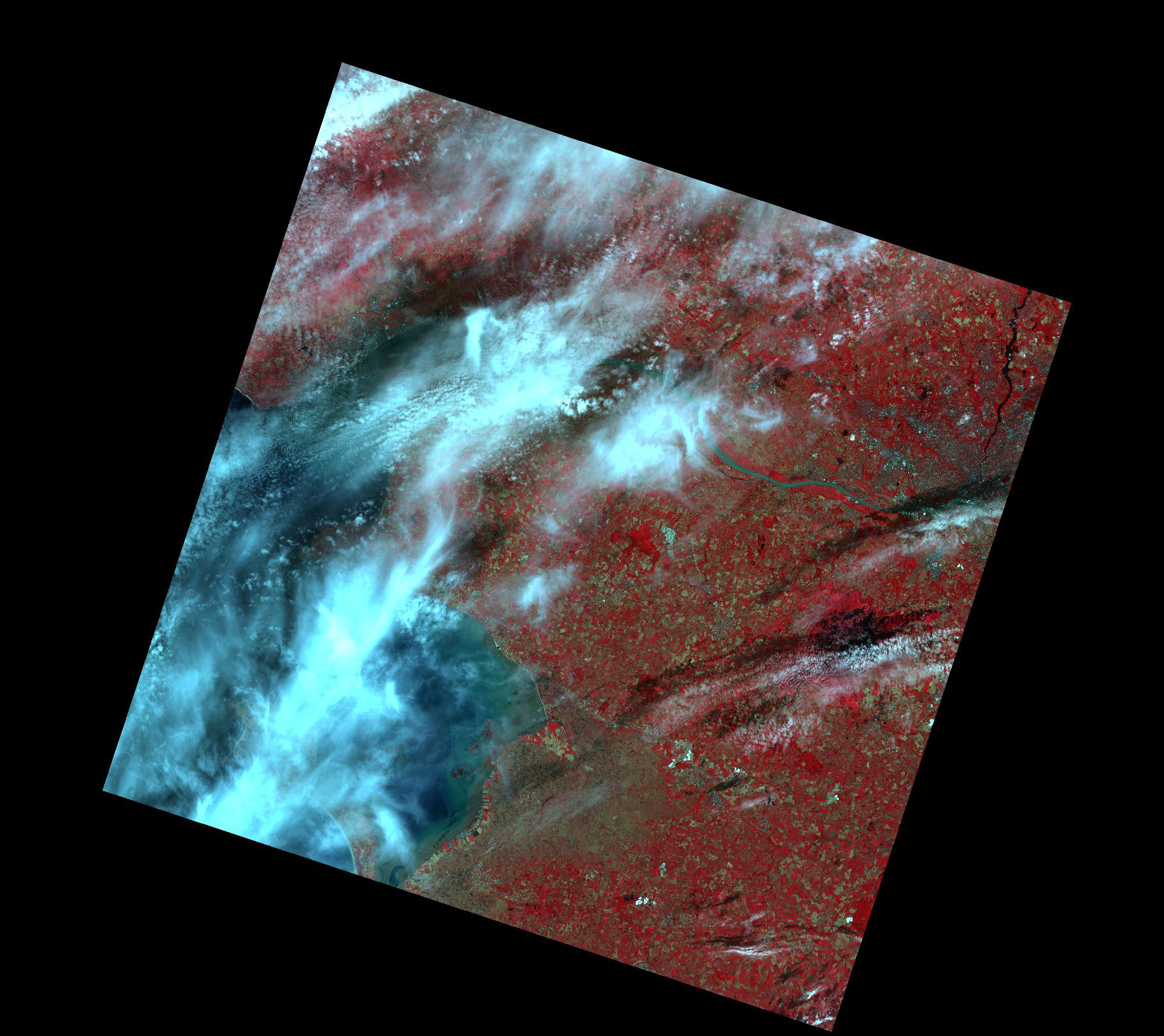
Start Date | 2015-07-18T09:53:36Z |
Stop Date | 2015-07-18T09:53:36Z |
Availability Time | 2015-07-18T09:53:36Z |
Platform Short Name | SPOT |
Platform Serial Identifier | 5 |
Orbit | 0 |
Country | France |
Site | Pornic |
Illumination Azimuth Angle | 120.27036 |
Illumination Elevation Angle | |
Along Track Incidence Angle | 4.487097 |
Footprint | 47.5090033486 -2.59785142213 46.7815771173 -2.52264877867 46.832671961 -1.33163913733 47.5607793509 -1.39069930972 47.5090033486 -2.59785142213 |
Size | 152707728 |
Acquisition Type | NOMINAL |
Product type | HRG_XS__1C |
Sensor Type | |
Sensor Mode | X |
Processing Date | 2016-03-16T10:35:04Z |
Processing Level | other: 1C |
Processor Version | 2.0 |
Bounding Box | 47.5607793509 -2.59785142213 46.7815771173 -2.59785142213 46.7815771173 -1.33163913733 47.5607793509 -1.33163913733 |
Original Name | SPOT5_HRG2_XS_20150718_N1_TUILE_PornicFranceD0000B0000.tar.gz |