Static Map Catalogue - Full Metadata Record
Collection QuickBird-2
QuickBird-2. More details.
QB2_OPER_BGI_PAN_2A_20090324T112627_N50-627_W001-946_0001
Download Product | Browse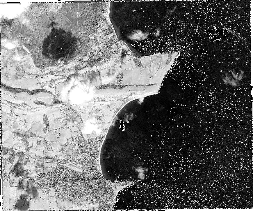
Path | W001 |
Row | N50 |
Start Date | 2009-03-24T11:26:27.424Z |
Stop Date | 2009-03-24T11:26:27.424Z |
Availability Time | 2009-03-24T11:26:27.424Z |
Instrument Short Name | BGI |
Sensor Type | OPTICAL |
Sensor Mode | PAN |
Orbit number | 0 |
Illumination Azimuth Angle | 164.4 |
Illumination Elevation Angle | 40.1 |
Footprint | 50.65655048 -1.99837887 50.60017700 -1.99957600 50.59922050 -1.89379589 50.65559206 -1.89247224 50.65655048 -1.99837887 |
Scene Centre | 50.627896997 -1.94605558894 |
Size | 188852257 |
Acquisition Type | NOMINAL |
Product Type | BGI_PAN_2A |
Cloud-Cover Percentage | 3 |
Resolution | 0.5 |
Processing Level | other: LV2A |
Bounding Box | |
Scale | |
Satellite | QuickBird-2 |